Gröbminger Land
Stoderzinken Speedtrail (No. 1)
Trailrunning
Data:
Tour description
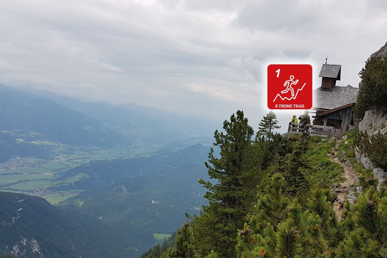
From Gröbming's main square you can get out of Gröbming on asphalt. After the first slight ascent you are on the Gröbminger Höhenweg on your way to the Lend through the impressive Öfen. Over the Rotwandschlag you come to the Stoderalm. From there it continues to a highlight on the route. The over 100 year old Stoderkircherl in the middle of the south walls is passed and over the slightly exposed but well secured Florasteig you reach the highest point with the summit of the Stoderzinken (2048m). A 360 degree panoramic view is guaranteed to be an experience for everyone. Via the old Stoderstrasse you then descend to the Assacher-Scharte and from there over the Freienstein on slightly exposed passages towards Gröbming. Before we finally reach the home stretch, we will run the "Kulmleiten". Over the Mitterbergstraße it goes back into the center of Gröbming.
The tour
difficult
Starting point
Parking lot MEZ (shopping center)
Destination
Parking lot MEZ (shopping center)
Tour characteristics
Distance: 25.87 km
Fitness (6/6)
Information
Distance: 25.9 km
Duration:
6:09 h
Ascent: 1750 m
Descent: 1750 m
highest point: 2028 m
Best season
Jan
Feb
Mar
Apr
May
Jun
Jul
Aug
Sep
Oct
Nov
Dec
Map, elevation profile & further information
From Gröbminger Hauptplatz you start towards Winkl through the impressive gorge of the Öfen. There the ascent begins through the Rotwandschlag to the Stoderalm. Via the Friedenskircherl you run to the summit before you go downhill on the old Stoderstrasse to the Assacher Scharte. From there you run over the Freienstein and the Kulmleiten, on slightly exposed passages, towards Gröbming.
From Salzburg: A 10 Tauernautobahn to Altenmarkt/Pongau junction - B 320 Ennstalbundesstraße - Gröbming
From Graz: A 9 Phyrn Motorway to St. Michael junction - Liezen B 320 to Gröbming
From Linz: A 9 Phyrnautobahn to Liezen (Bosrucktunnel MAUT!! or Phyrnpass) - B 320 to Gröbming
You can park your car at the public parking places towards the police station in Gröbming
ATTENTION: At altitude 1.105m at kilometer 20,4 you are asked to walk the next 800m only, not to run. Because of the grazing cattle! suitable footwear, weatherproof clothing