


Gröbminger Land
Stierkarsee hike
Hiking trail
Data:
Tour description
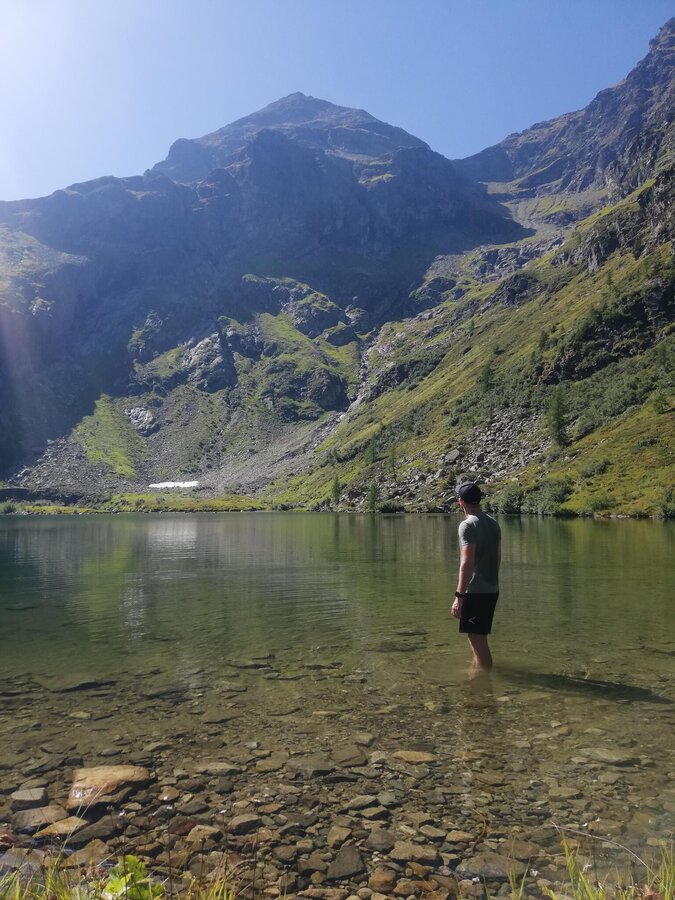
This hike in the Sattental valley combines alpine pasture experiences with moments at mountain lakes. The Perneralm and Tagalm mountain huts are two places to visit. The Stierkarsee lake, nestled against the backdrop of the Hochwildstelle mountain, is a very worthwhile destination and the highlight of this tour.
The tour
moderate
Tour characteristics
Distance: 9.7 km
Fitness (3/6)
Skills (4/6)
Information
Distance: 9.7 km
Duration:
4:00 h
Ascent: 650 m
Descent: 650 m
highest point: 1871 m
Best season
Jan
Feb
Mar
Apr
May
Jun
Jul
Aug
Sep
Oct
Nov
Dec
Map, elevation profile & further information
From the parking lot, hike to the head of the valley, past charming,
rustic alpine huts, following the stream. Initially, the path leads
along gravel tracks and alpine meadows, but soon crosses a large scree
field to a small bridge where two mountain streams meet. The trail
continues in the middle, climbing steeply through the high forest until
you reach the treeline and a cirque. A short descent to the right leads
to the Stierkarsee lake. The lake lies nestled in the small valley basin, and its surrounding
alpine meadows invite you to linger.
Trail conditions
In
Pruggern, exit the B320 Ennstal federal highway and continue towards
Pruggererberg. At the Sattental turn-off, turn left and follow the road
to the Sattental car park.
Sattental parking lot at the beginning of the Sattental alpine pasture area.
The starting point is not accessible by public transport.
Weather changes, rapid drop in temperature, thunderstorms, wind, fog and snowfields are objective dangers and require the right behaviour on the way. Hut hosts are experienced mountain experts, they can give good tips about the weather and the route. Lack of equipment, overestimation of one's own abilities, carelessness, poor physical condition and a wrong assessment can lead to critical situations. In case of thunderstorms: Avoid summits, ridges and ropes at all costs
In an emergency, please dial the following emergency numbers:
- 140 - Mountain Rescue
- 112 - Euro emergency call


