
Gröbminger Land
Hike to Galsterbergalm
Attraction
Data:


Tour description
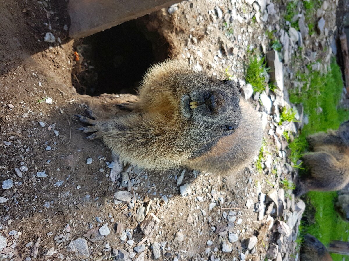
A leisurely hike with wonderful views at 1800 m above sea level. A special feature are the marmots, which visibly feel at home on the alpine pasture!
The tour
easy
Starting and end point
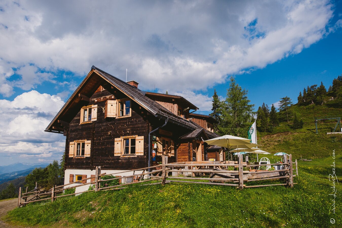
Bottinghaus
Tour characteristics
Via ferrata length: 2 km
Fitness (2/6)
Skills (2/6)
Information
Distance: 2 km
Duration:
1:00 h
Ascent: 135 m
Descent: 135 m
highest point: 1800 m
Best season
Jan
Feb
Mar
Apr
May
Jun
Jul
Aug
Sep
Oct
Nov
Dec
Map, elevation profile & further information
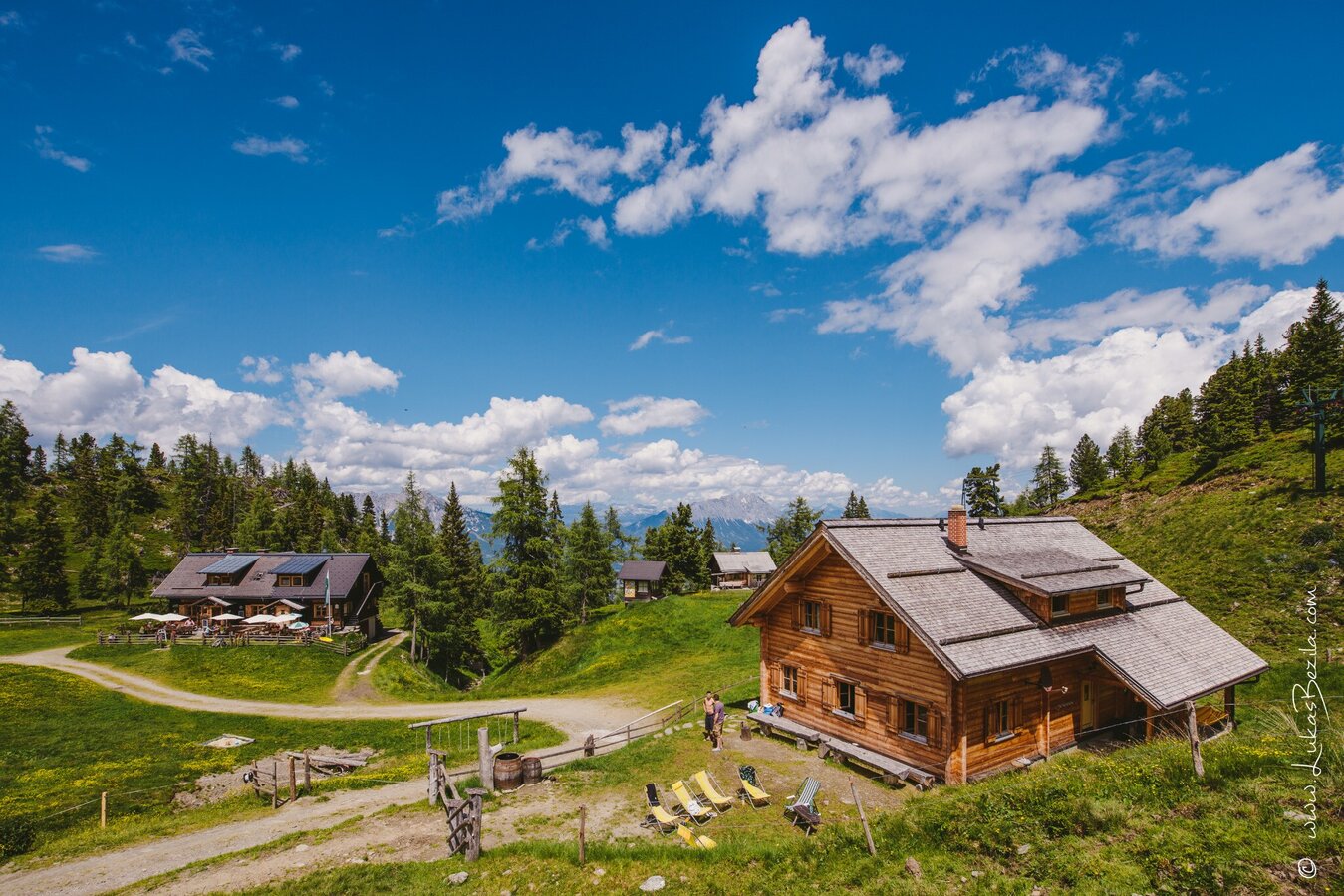
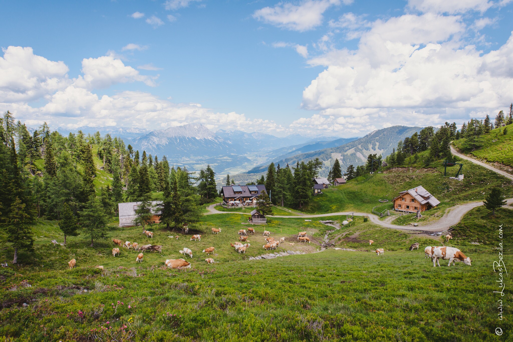
From Bottinghaus, take the road up to the right and after a few minutes you will reach a crossroad where you follow the valley descent to the left to the reservoir. From there, the trail continues up the left-hand valley descent. Once you reach the top of the path, you can already see the hut and you have reached your destination. Once you arrive at the Galsterbergalmhütte, the sun terrace with culinary delights and the marmots that live there are already waiting for you! The way down leads via a forest and root path, which is located at the start of the valley descent behind the Galsterbergalmhütte.
Trail conditions
From the village of Pruggern, the road leads along the Pruggererbergweg to the Galsterberg valley station. Please do not park here, but continue along the serpentines. The path soon turns into a forest path, where you follow the forest road up to the left, which is used as a toboggan run in winter. After approx. 10 minutes, you will reach the Bottinghaus parking lot and the starting point of the hike.
Bottinghaus
Bottinghaus
Unfortunately, there is no public transportation to Bottinghaus.
For alpine routes, the basic equipment includes a hood, gloves, a good jacket and trousers. Good, waterproof shoes, sunglasses, sun protection and plenty of drinks are essential. Flashlight, maps, knives and a small first aid box should also be included.
This hike is especially recommendable during the time of the alpine roses bloom.


