Haus-Aich
Freienstein from Assach
Mountain tour
Data:
Tour description
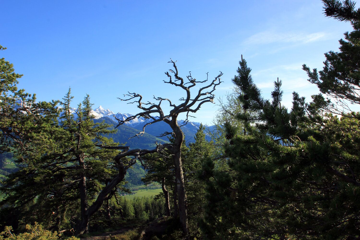
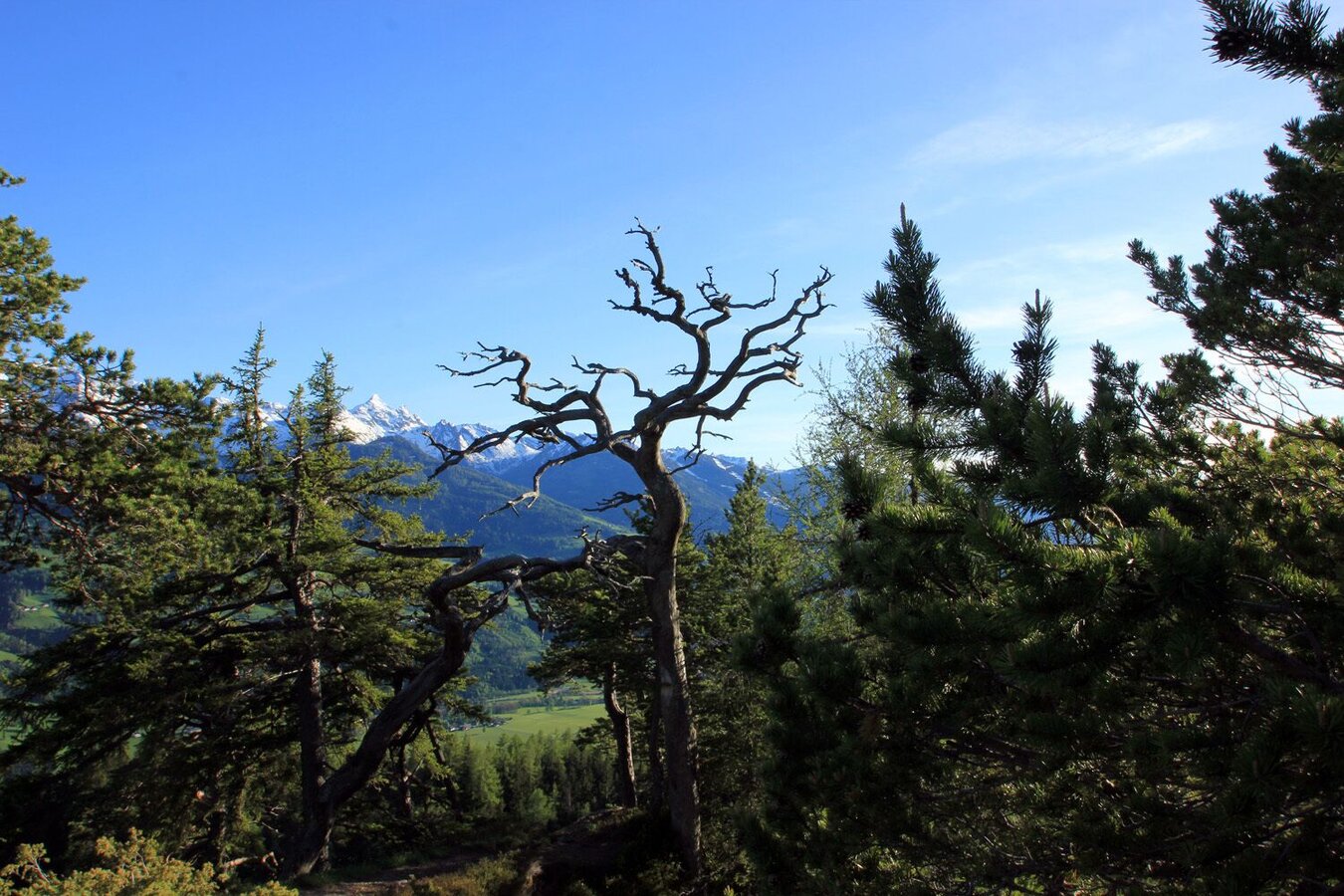
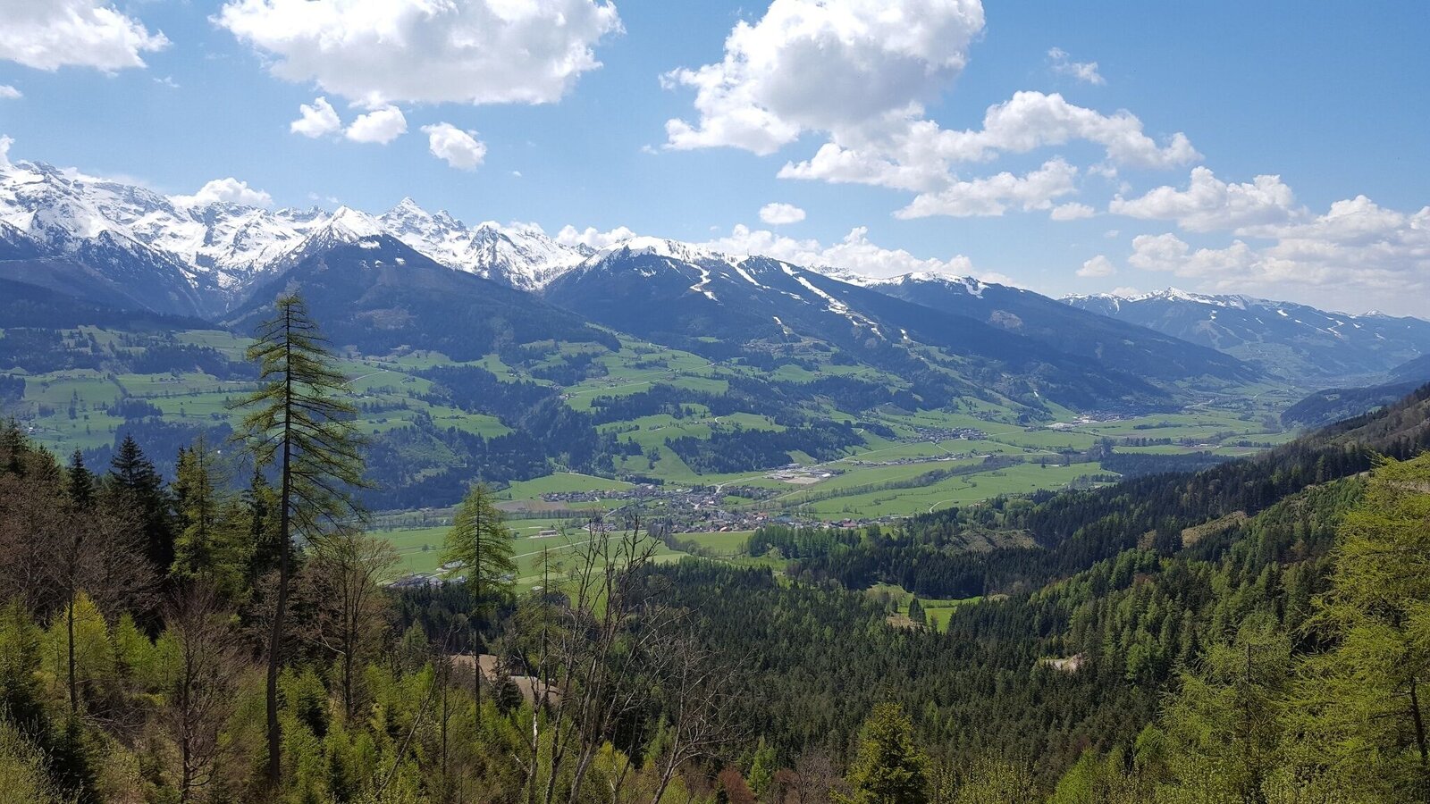
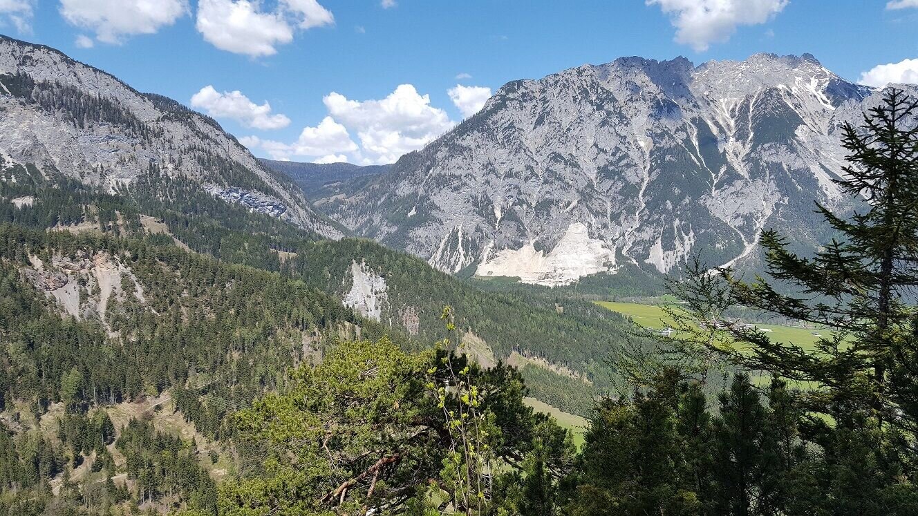
An unassuming forested ridgeline in the Ennstal, yet one which offers interesting, scenic and variety-packed hikes along the mountain crest. Not many would expect this inconspicuous forest mountain to have a very attractive high trail running over its long, still forested ridge. Among other things, we cross a beautiful forest clearing with many flowers and tall grasses before we march between pines up to the summit. There a dreamlike place with deep views to both sides awaits us. But also the Schladminger Tauern and the Stoderzinken are photogenic in our field of vision.
The tour
difficult
publicly accessible
Starting and end point
Assacher Tenne
Tour characteristics
Distance: 5.4 km
Fitness (3/6)
Skills (5/6)
Information
Distance: 5.4 km
Duration:
2:45 h
Ascent: 460 m
Descent: 460 m
highest point: 1279 m
Best season
Jan
Feb
Mar
Apr
May
Jun
Jul
Aug
Sep
Oct
Nov
Dec
Map, elevation profile & further information
By car you can drive from Assach to the Assacher Tenne. From there we follow the hiking trail no. 14 to the Assacher Scharte. From here a narrow forest path leads us first steeply up the western slope (short rope insurance) and then along the ridge (path no. 679) towards the summit cross before we take the same path back. If you are sure-footed, you have the option of continuing eastwards from the summit cross over the rocky ridge and then walking along the narrow Goaßsteig, on the north side, back to the Assacher Scharte.
- Coming from Schladming/Salzburg: via the Ennstalbundesstraße (B320) - exit Aich - continue to Assach
- Coming from Gröbming/Liezen: via the Ennstalbundesstraße (B320) - exit Assach - continue to the village square Assach
Assacher Tenne
Assach: Postbus (L900) - Exit: Assach fire department (only at schooltime in Austria) or Assach main road.
- Good footwear and free from dizziness.
- Mountain boots, rain protection.
- Here are all the hiking maps and important brochures to download.
Open your eyes and let yourself be enchanted by some of the tree formations that remind you of the Harry Potter novels and films.
Tour at your own risk! No liability is accepted for any alpine dangers (weather, etc.) that may occur. Weather changes, rapid drops in temperature, thunderstorms, wind, fog and snow fields are objective dangers and require the correct behaviour on the way. In an emergency, please dial the following emergency numbers:
No. 140 - for alpine emergencies - Austria-wide
No. 112 - Euro emergency call GSM emergency call service