

Haus-Aich-Gössenberg
Weißenbach - Birnberg - Rössing - Burgstaller - Weißenbach
Hiking trail
Data:
Tour description
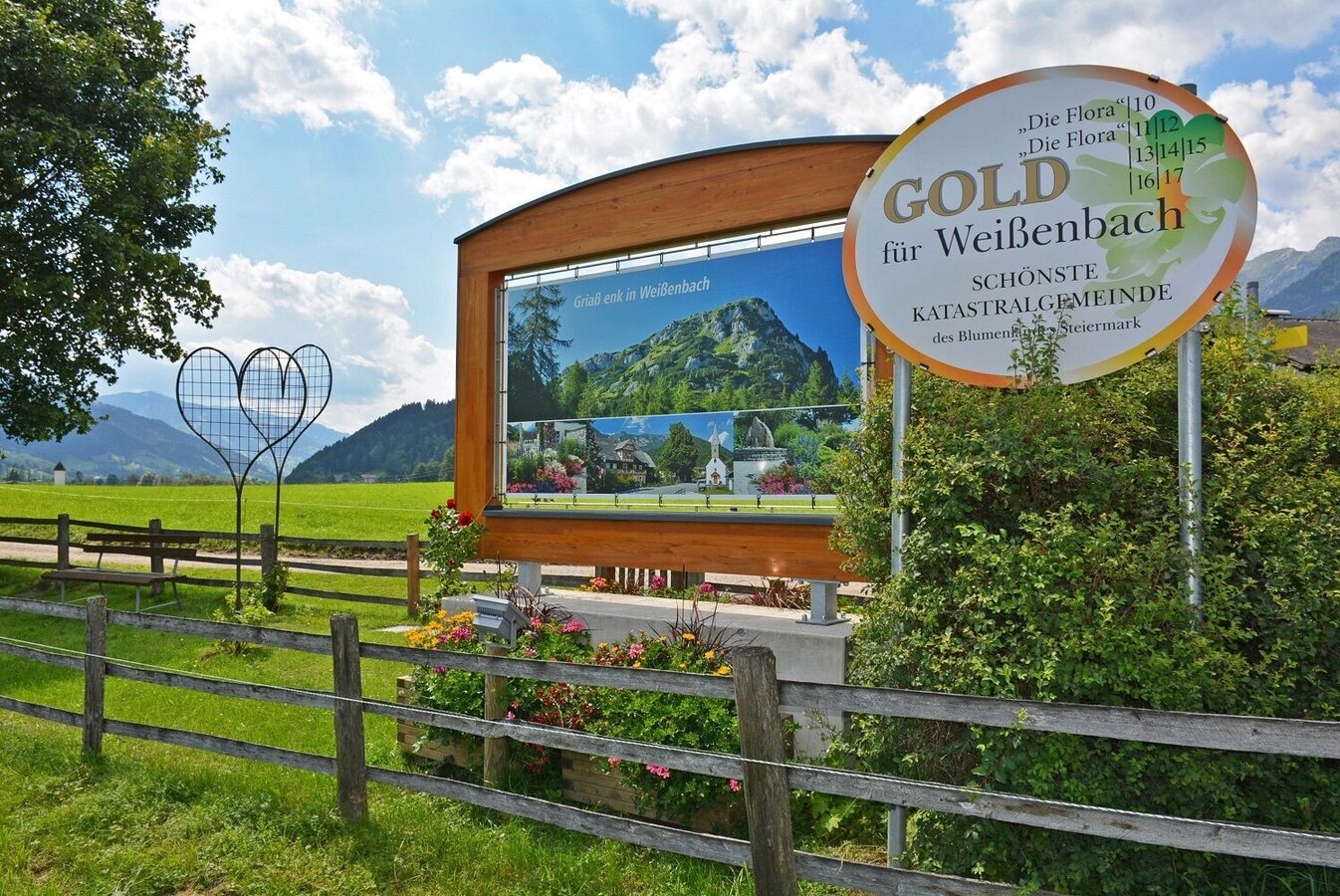
Easy hike for enduring walkers from the most beautiful cadastral community of Styria (Weißenbach) to the sunny plateau Birnberg with a wonderful view into the Ennstal. Return to Weißenbach along forest and woodland paths, with a beautiful view of the village of Weißenbach from the connecting path "Burgstaller - Weißenbach".
The tour
easy
Starting and end point
Village square in Weißenbach
Tour characteristics
Fitness (2/6)
Information
Distance: 10.92 km
Duration:
3 h 20 min
Ascent: 366 m
Descent: 366 m
highest point: 992 m
Best season
Jan
Feb
Mar
Apr
May
Jun
Jul
Aug
Sep
Oct
Nov
Dec
Map, elevation profile & further information
From the village square in Weißenbach to the west on the Birnberg. Now over the Nussachweg and Mühlwg to the Rössingstraße, on this approx. 1 km up to the turn-off. Through the forest northeast ascending to the Burgstaller. East along the forest road, first level, then downhill to Weißenbach.
Ennstalbundesstraße (B320) - Haus im Ennstal - WeißenbachVillage square Weißenbach
During Austrian school hours: Postbus (L900)
- Sturdy shoes
- Possibly hiking poles and rain protection
- Here are all the hiking maps and important brochures to download.
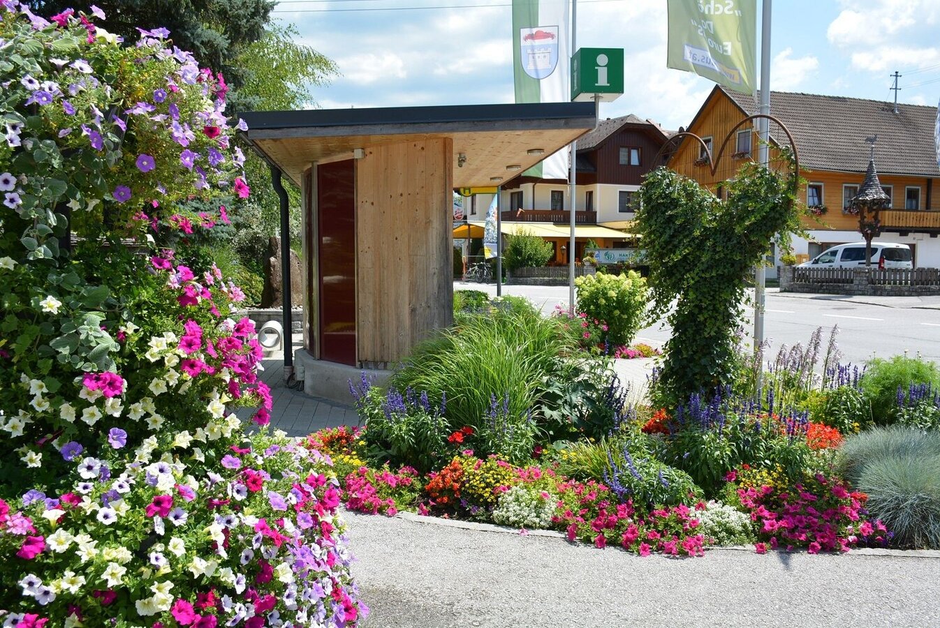
Take your time and visit Weißenbach. Discover the loving details with which the locals beautify their place.


