

Haus-Aich-Gössenberg
Weißenbach - Goassweg - Weißenbach
Hiking trail
Data:

Tour description
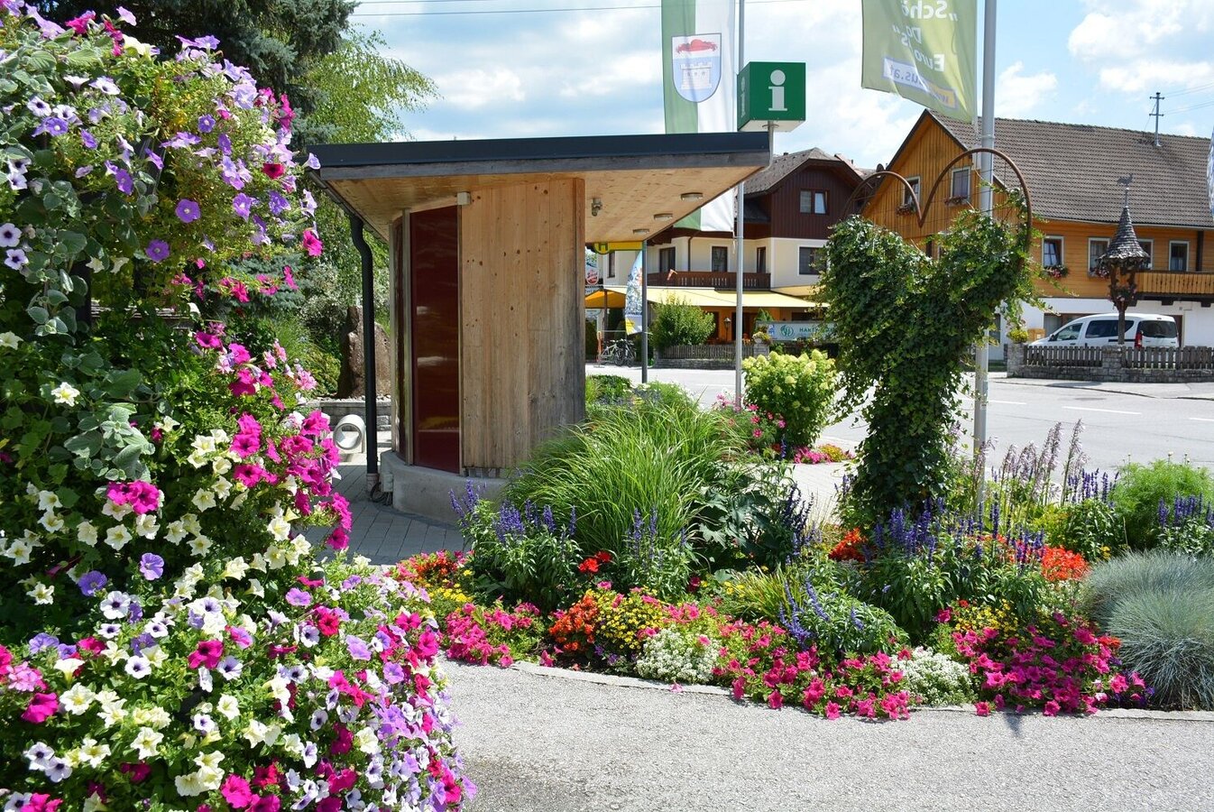
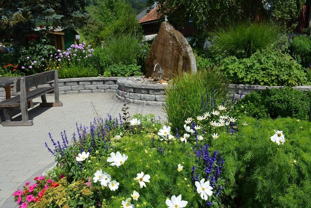
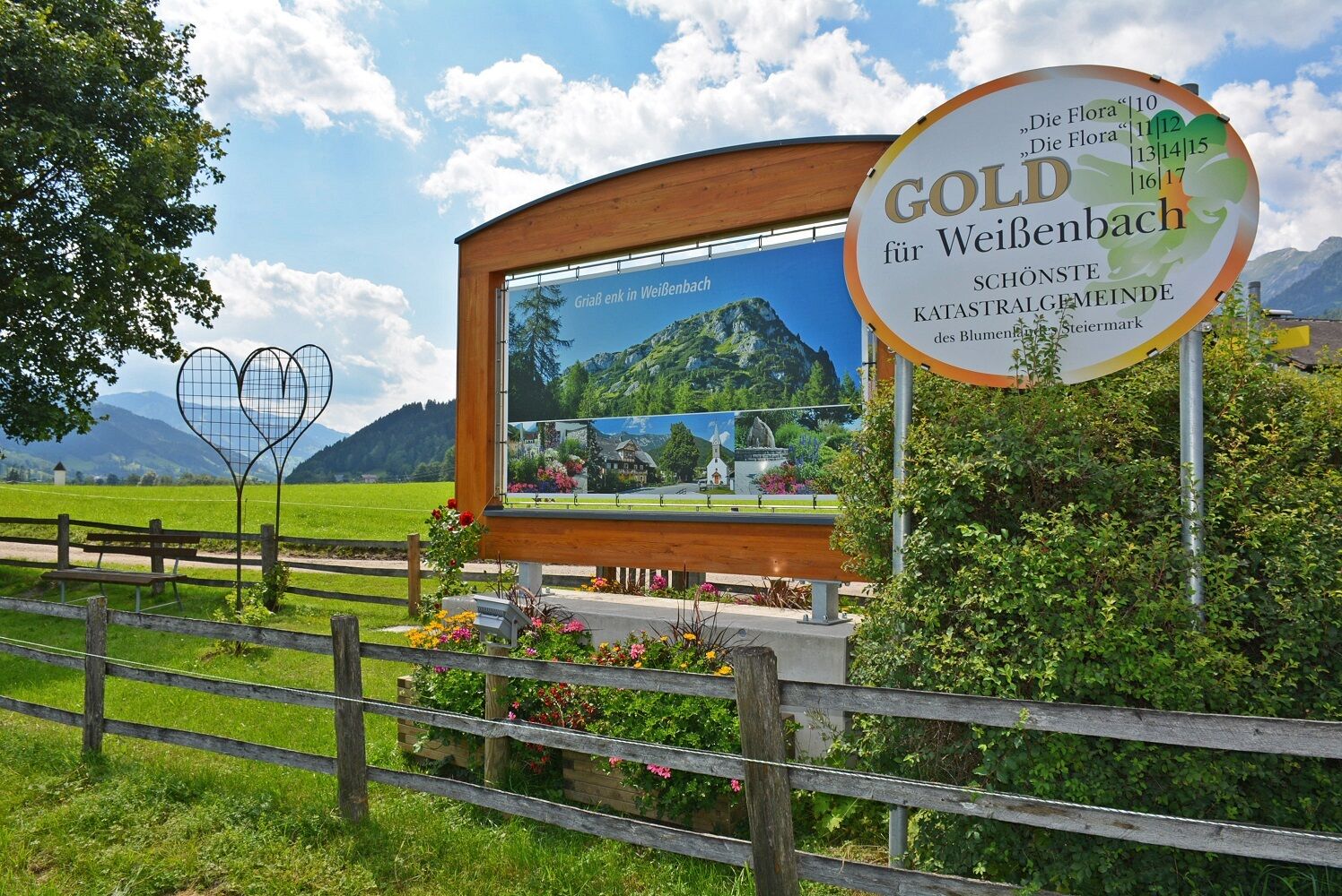
Family-friendly circular hike through the most beautiful cadastral community in Styria - Weißenbach bei Haus. From the "blooming village square" to the lovely village chapel along the so-called "Goassweg" and past the public children's playground, there is something for everyone.
The tour
easy
Starting and end point
Village square of Weißenbach
Tour characteristics
Fitness (2/6)
Information
Distance: 4.72 km
Duration:
1 h 45 min
Ascent: 181 m
Descent: 181 m
highest point: 899 m
Best season
Jan
Feb
Mar
Apr
May
Jun
Jul
Aug
Sep
Oct
Nov
Dec
Map, elevation profile & further information
From the village square in Weißenbach we head east (past the village chapel on the left), then walk to the Rapplhof crossroads and turn north (Pirchersteinweg). We follow this path until we reach a fork. We take the forest path on the right and after a short ascent to Wegsten we enter the forest on the Goasseg to the Rabingerhof. We walk steeply downhill to Rössingstraße and on this road back to Weißenbach.
Von der Ennstalbundesstraße (B320) auf Höhe Haus im Ennstal Richtung Weißenbach abbiegen. Village square of Weißenbach
During Austrian school hours: Postbus (L900)
The hike partly leads along a road. sturdy shoes for a family friendly hike
Weißenbach is the most flourishing cadastral community in the whole Ennstal valley.Here you will find all hiking maps and important brochures to download.


