

Up the Krahbergzinken

Tour description
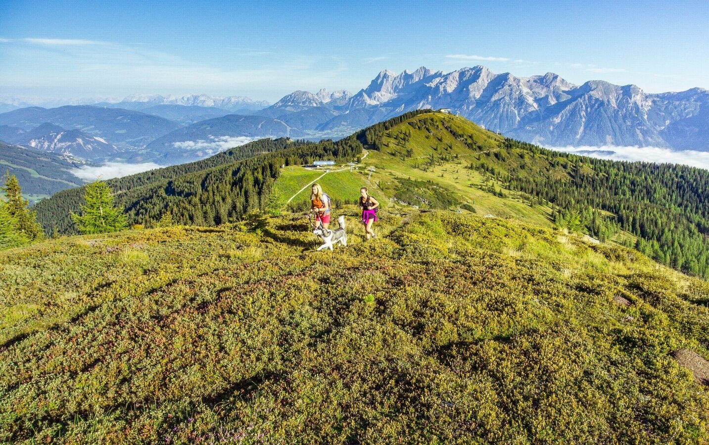
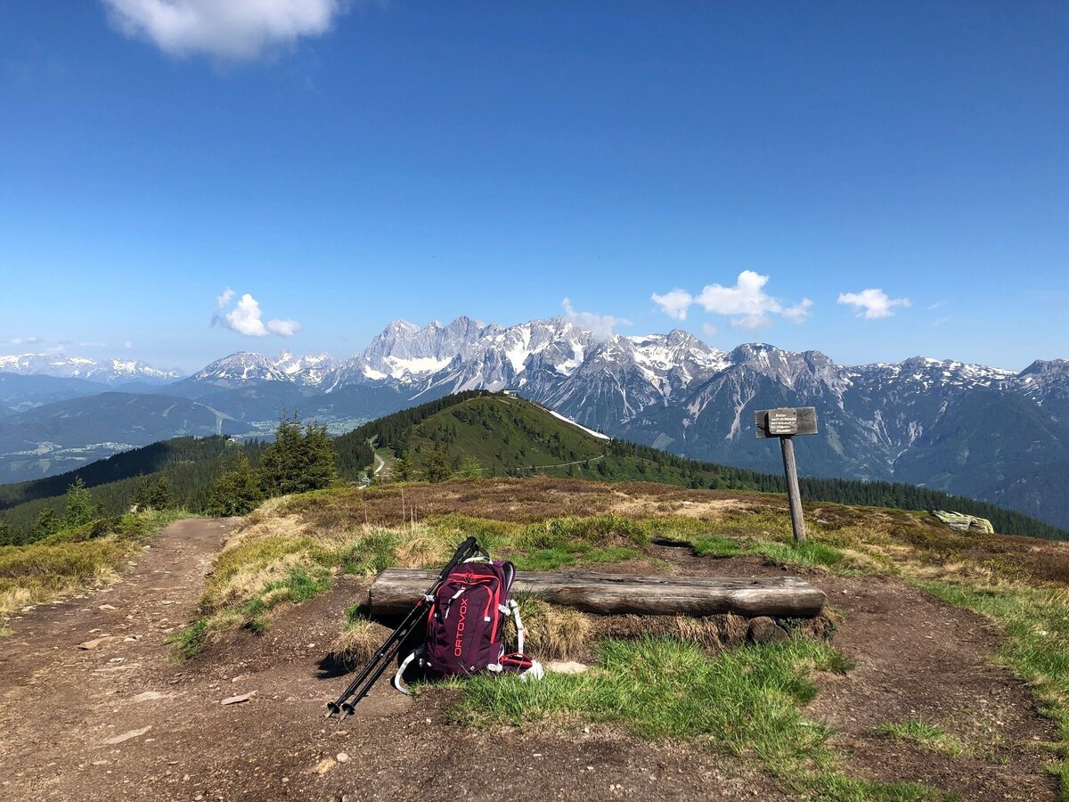
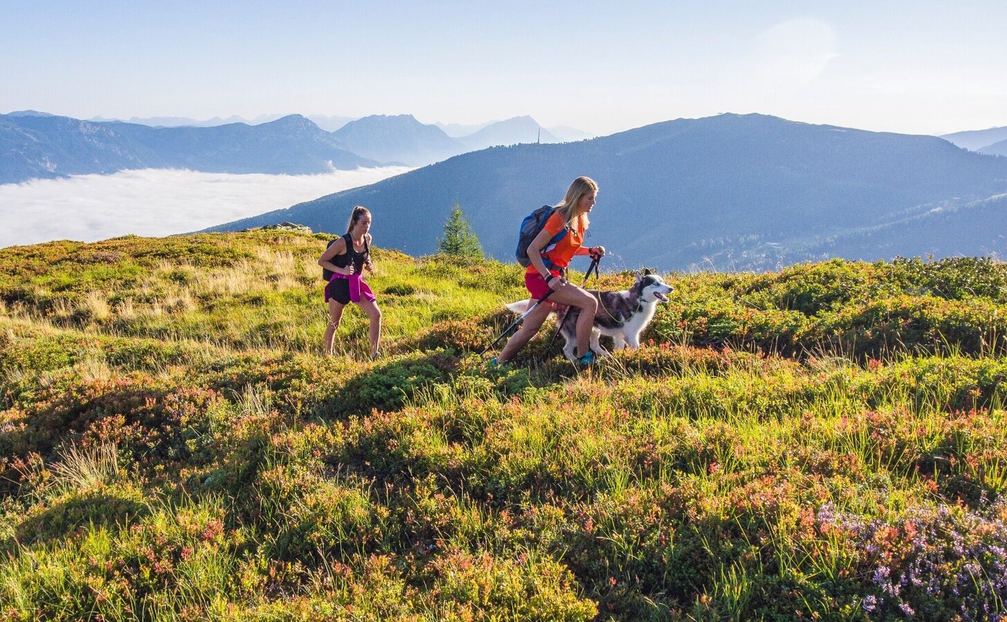
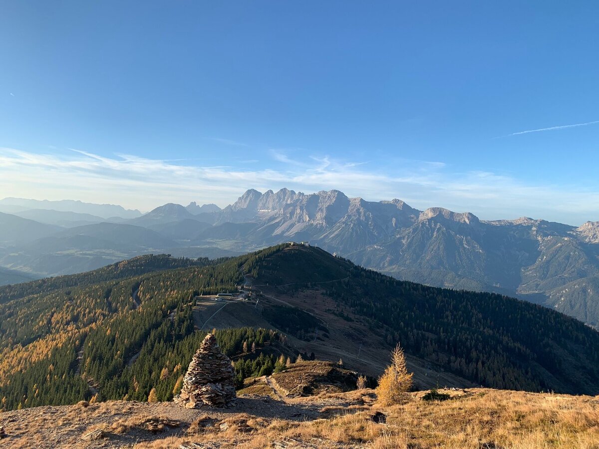
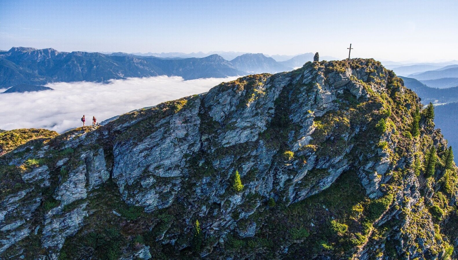
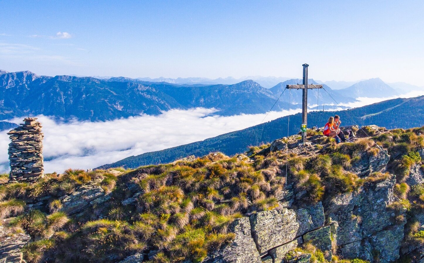
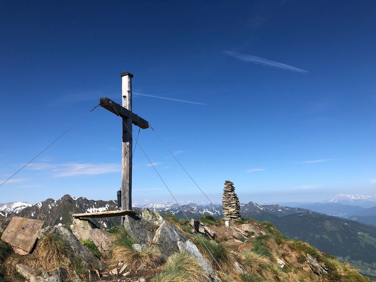
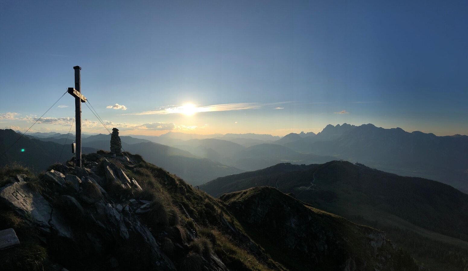
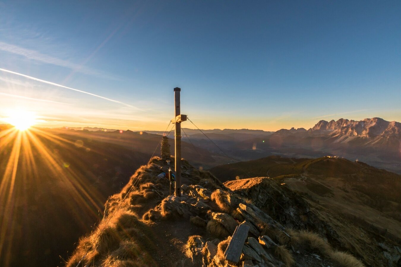
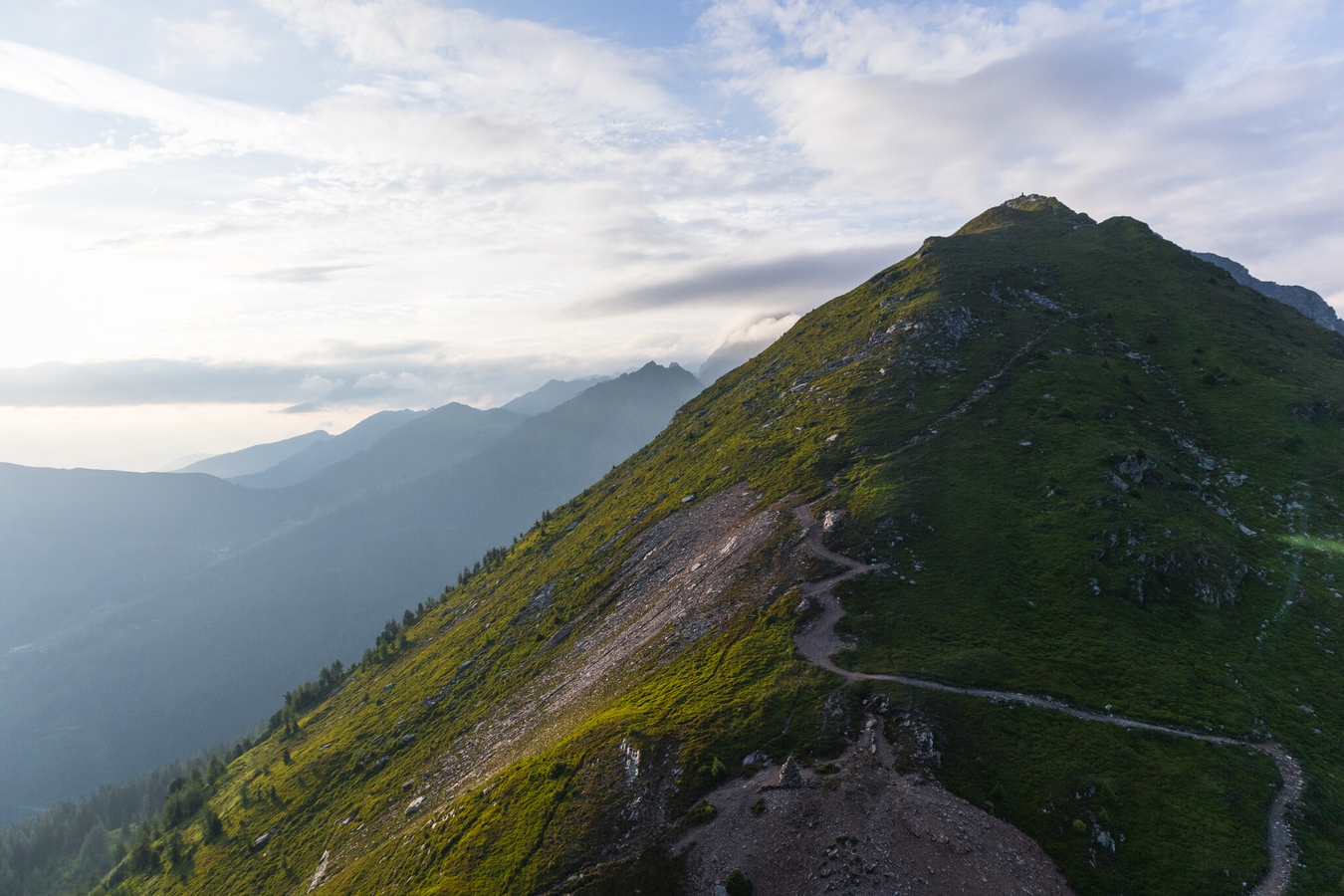
This summer tour is an ideal half-day programme. Surefootedness and a head for heights are required around the summit. The view from Krahbergzinken is unforgettable. On the way back an alternative via the Planai summit is possible.
Conditions:
mountain trail through switchbacks to the summit, short stretch of forest path
Restaurants:
Da Sepp, Schladmingerhütte, Planaihof, Onkel Willy's Hütte, Schafalm
Highlights:
peak Krahbergzinken
The tour
Map, elevation profile & further information
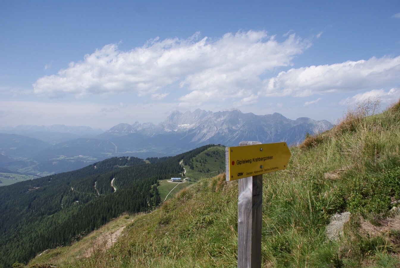
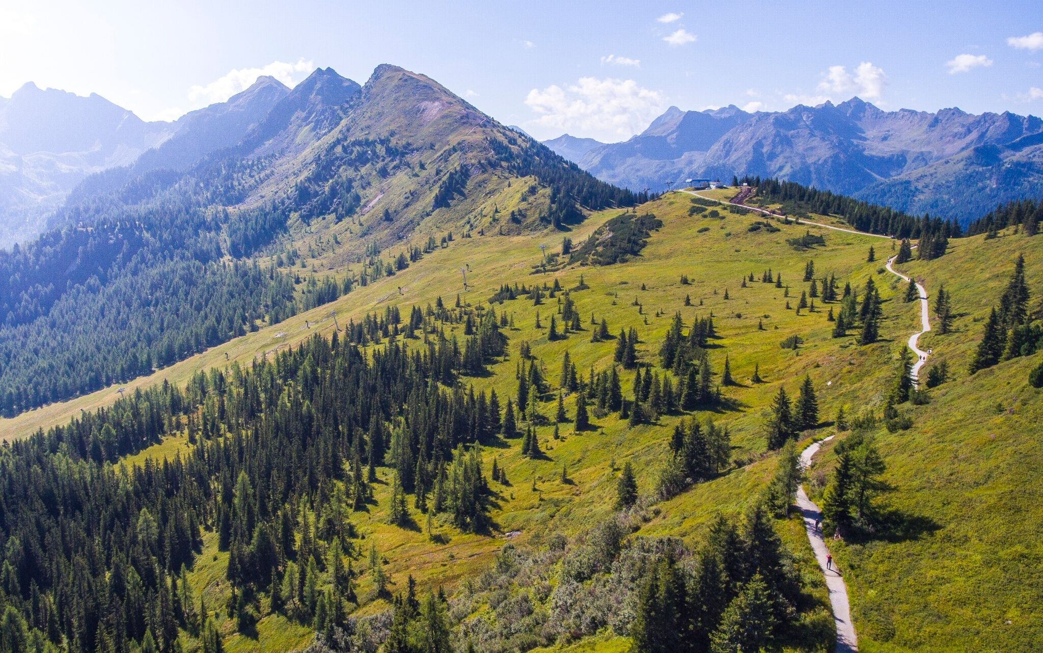
At the mountain lift terminal, head along the “Planai Panoramarundweg” to the trail crossing and follow path No. 779. From there, continue along the timber line to the Krahbergsattel. Now through steep switchbacks, you will hike to the Grosses Steinmandl. Here you will leave the Schladminger Höhenweg, which branches off to the right towards the Preintalerhütte – the hike up the Krahbergzinken leads us straight, as we follow the unmarked trail to the summit. Traversing from the lower peak to the summit cross requires caution – though it is well secured. The impressive panoramas and the open views of Untertal valley are breathtaking.
In the town of Schladming you can take the Citybus. From Rohrmoos take the Planai buses to Planet Planai, from Ramsau take the buses of Ramsauer Verkehrsbetriebe.
- Citybus and buses from Rohrmoos - www.planaibus.at
- Buses from Ramsau - www.rvb.at
From there continue with the Planai cable-car.
- Operating times of cable-car: www.planai.at
Traversing from the lower peak to the summit cross requires caution – though it is well secured.
Changes in weather patterns, quick falls in temperature, thunderstorms, wind, fog and snow are some of the dangers that can be encountered on a hiking tour. Hosts of alpine huts and mountain refuges have a lot of experience in the mountains and can give good advice about weather and the trails. Poor equipment, overestimation of one's own capabilities, carelessness, poor personal constitution and/or wrong judgement can lead to critical situations. In case of thunderstorms: avoid summits, ridges and steel ropes.
GPS data and orienteering
Available GPS data - just like hiking maps - is only a guidance for orientation and can never depict a trail exactly with all its details. Especially at dangerous spots it is essential to judge on site how to proceed.
In an emergency please call:
- 140 - for Alpine emergencies (all over Austria)
- 112 - European GSM emergency number
Tourist information: www.schladming.com
Information about bus schedules: www.planaibus.at, www.rvb.at, www.postbus.at
Information about cable-car hours: www.planai.at
- Hiking map ‘Hiking WEST’ available at the information offices in the region.
- Schladming hiking map, 1:25,000, available at the Schladming information office.
- Hiking map Schladming-Dachstein, 1:50,000, available at the information offices in the region.
- Hiking guide Schladming-Dachstein by Herbert Raffalt, available at the information offices in the region.


