

From Planai to Schladming
Tour description
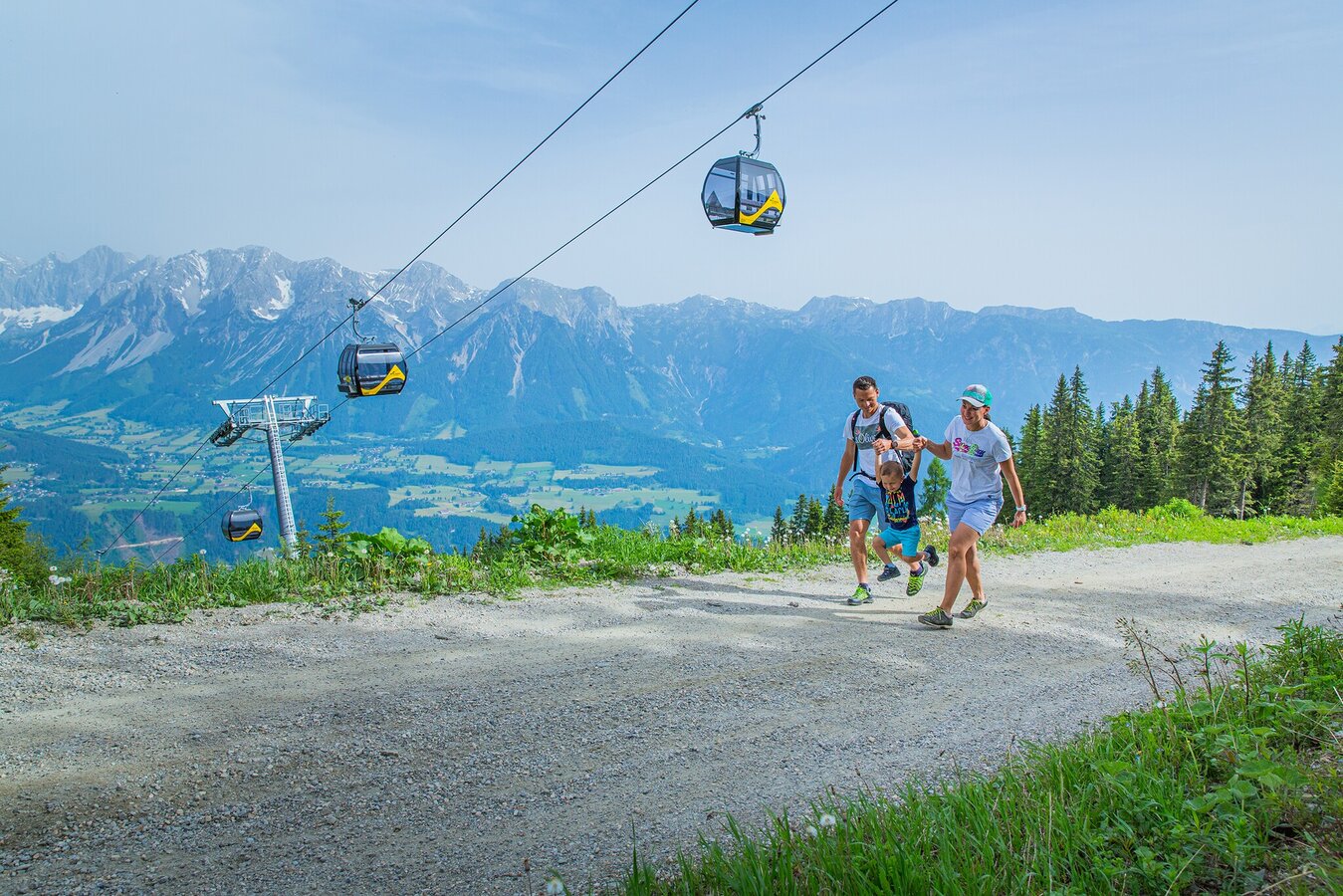
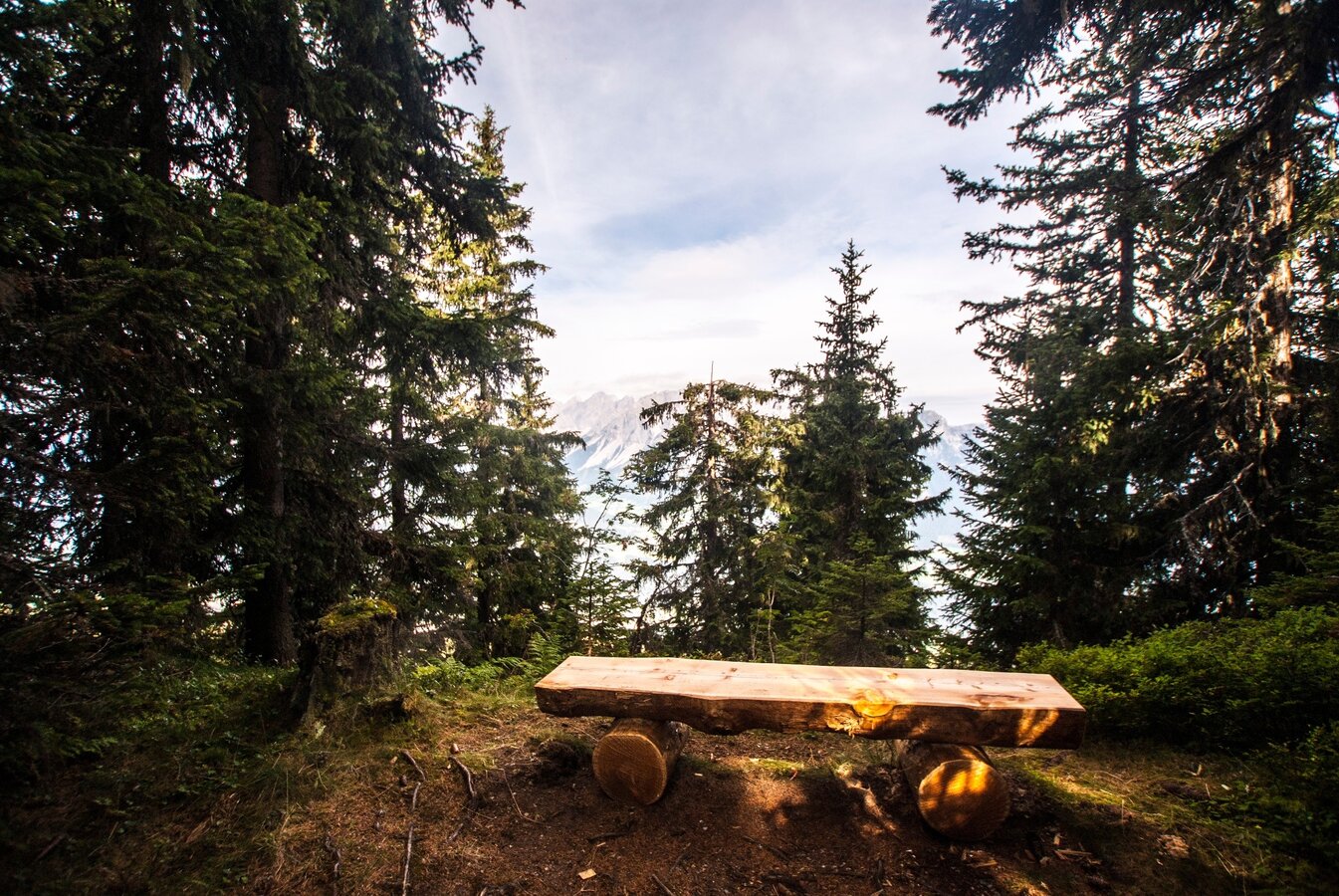
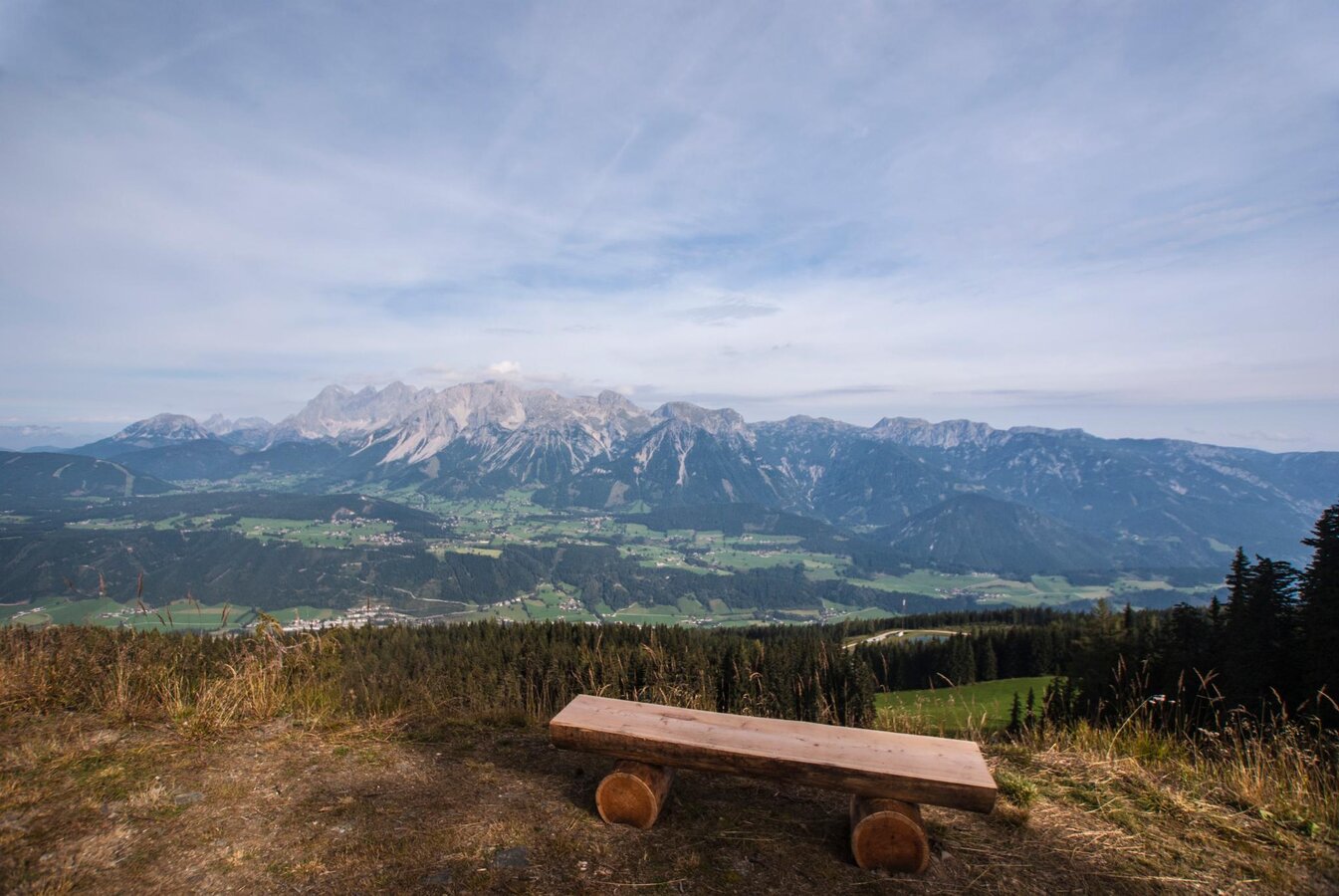
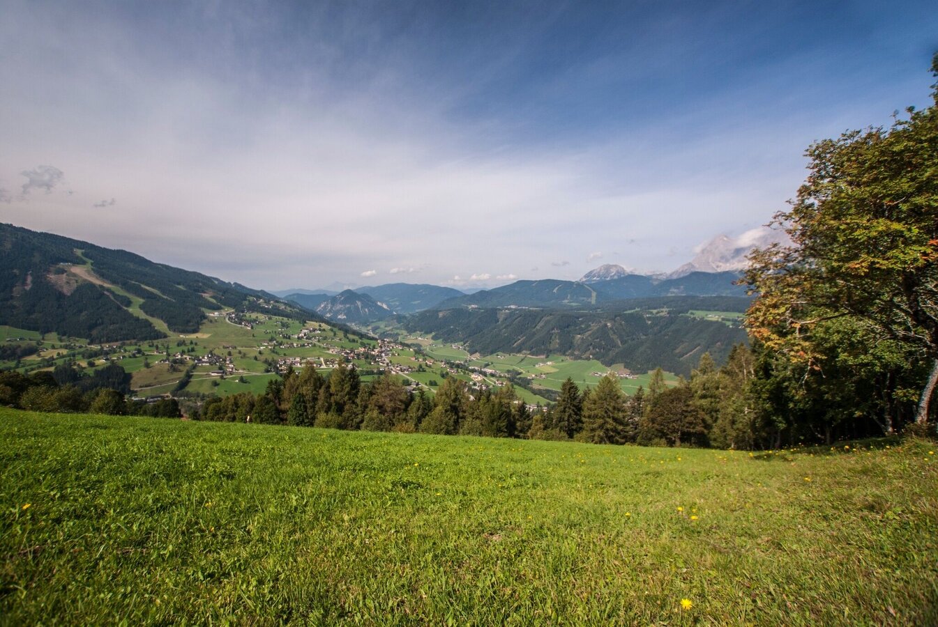
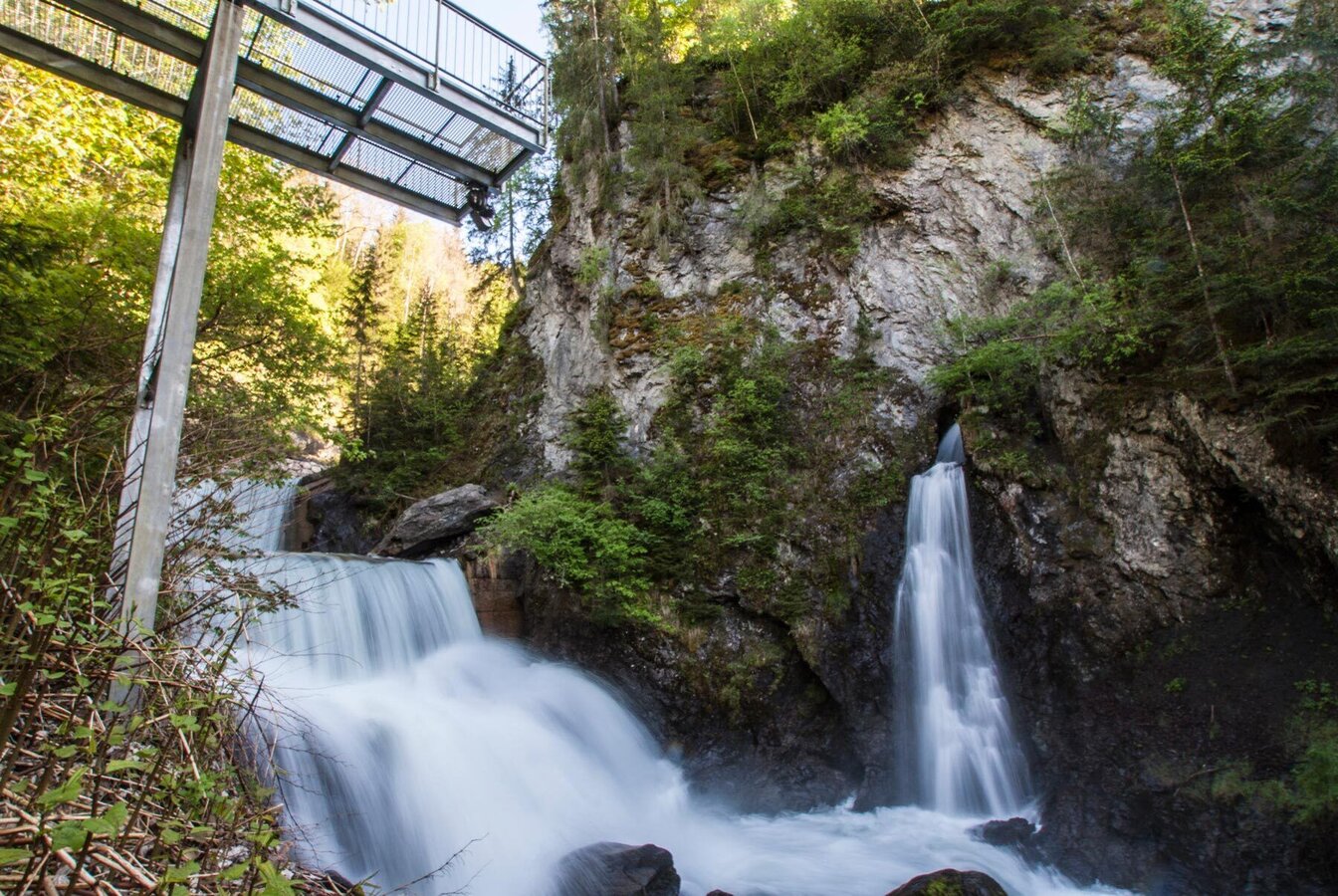
A hike from the famous skiing mountain Planai to Schladming. The alternative route to the "World Cup Trail" takes you down the classic trails #779 and #53, passing by Lärchkogelhütte Inn and Berggasthof Jager. Finally you reach the town of Schladming at the entrance to Talbachklamm gorge. The route is mainly made up of forest trail and crossing over some meadows, giving you spectacular views especially towards Rohrmoos.
The tour
Map, elevation profile & further information
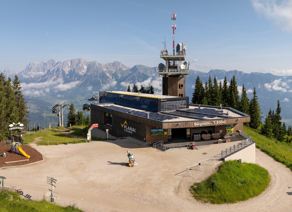
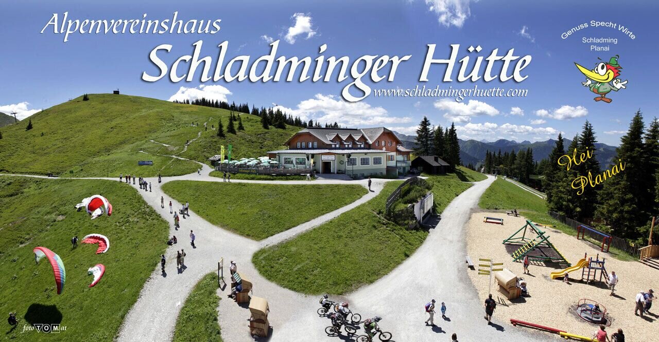
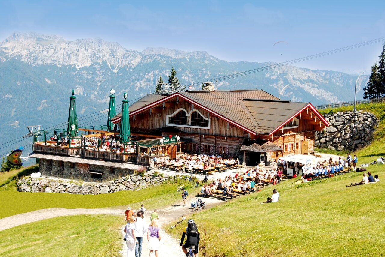
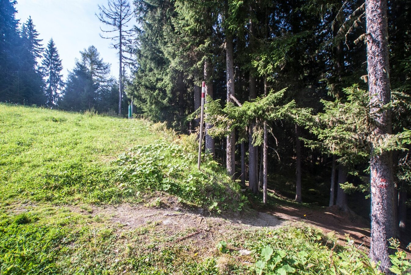
You start at the mountain terminal of Planai cable car and first folow trials n° 53 and 779 (running along each other). You pass by Schafalm Inn and descend until you reach the hut of the Mountain Rescue where trail n° 53 branches off to Lärchkogelhütte Inn.
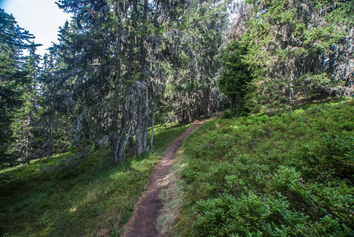
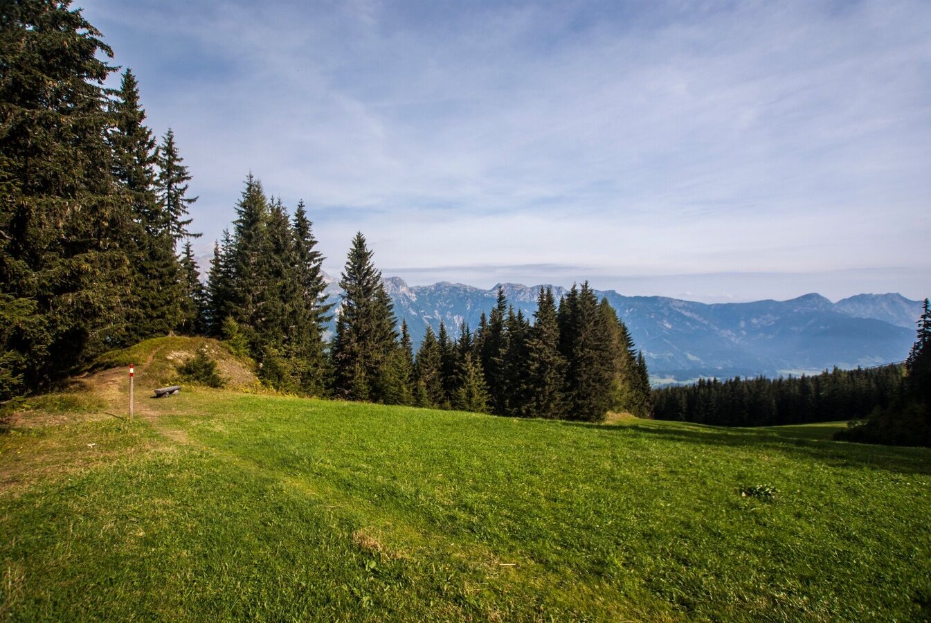
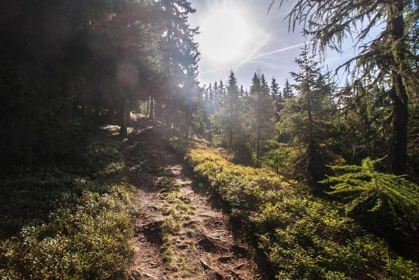
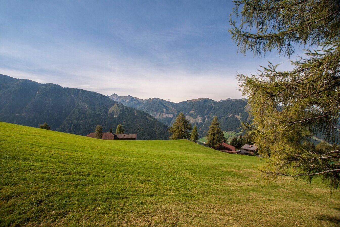
Via a scenic forest trail - and at first through "Hopsiland" you reach the side summit of Lärchkogel with the Lärchkogelhütte Inn. Through some forest sections and over meadows you continue your descent on trail n° 53 to Schladming, crossing Planaistraße road several times. About half the way Jager Mountain Inn is another refreshment stop.
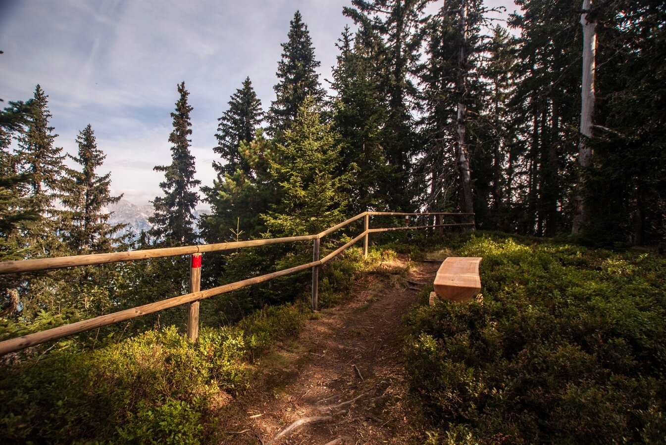
The trail now descends steeper, and you pass by Mitterwallnerhof on your way to Talbachklamm gorge. When the roaring sounds of the Talbach creek get louder and the towers of the churches get closer, Schladming is not far anymore. After about 2 hours you reach the town at the entrance to Talbachklamm gorge.
In the town of Schladming you can take the Citybus. From Rohrmoos take the Planai buses to Planet Planai, from Ramsau take the buses of Ramsauer Verkehrsbetriebe.
- Citybus and buses from Rohrmoos - www.planaibus.at
- Buses from Ramsau - www.rvb.at
Then take Planai cable car to the top of the mountain.
Changes in weather patterns, quick falls in temperature, thunderstorms, wind, fog and snow are some of the dangers that can be encountered on a hiking tour. Hosts of alpine huts and mountain refuges have a lot of experience in the mountains and can give good advice about weather and the trails. Poor equipment, overestimation of one's own capabilities, carelessness, poor personal constitution and/or wrong judgement can lead to critical situations. In case of thunderstorms: avoid summits, ridges and steel ropes.
GPS data and orienteering
Available GPS data - just like hiking maps - is only a guidance for orientation and can never depict a trail exactly with all its details. Especially at dangerous spots it is essential to judge on site how to proceed.
In an emergency please call:
- 140 - for Alpine emergencies (all over Austria)
- 112 - European GSM emergency number
Tourist information: www.schladming.com
Information about bus schedules: www.planaibus.at
Information about cable-car hours: www.planai.at
- Hiking map ‘Hiking WEST’ available at the information offices in the region.
- Schladming hiking map, 1:25,000, available at the Schladming information office.
- Hiking map Schladming-Dachstein, 1:50,000, available at the information offices in the region.
- Hiking guide Schladming-Dachstein by Herbert Raffalt, available at the information offices in the region.


