

The Hochwildstelle - 2.747m via the Preintalerhütte

Tour description
The tour
Map, elevation profile & further information
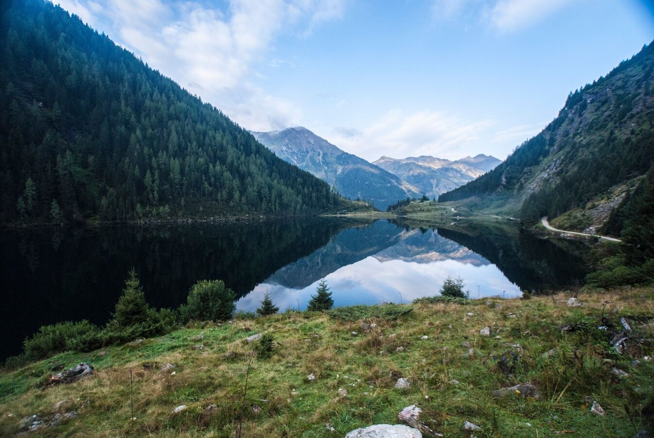
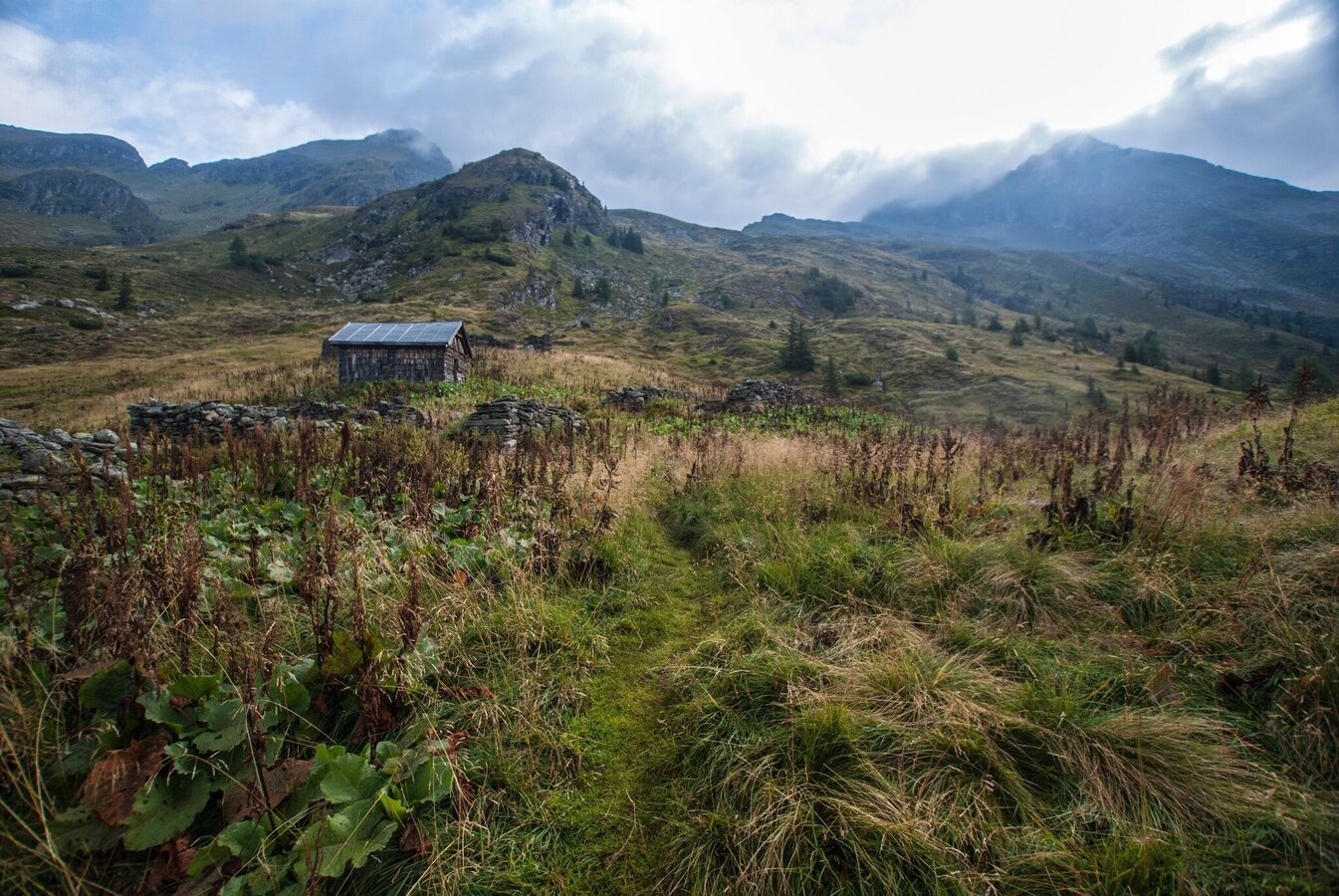
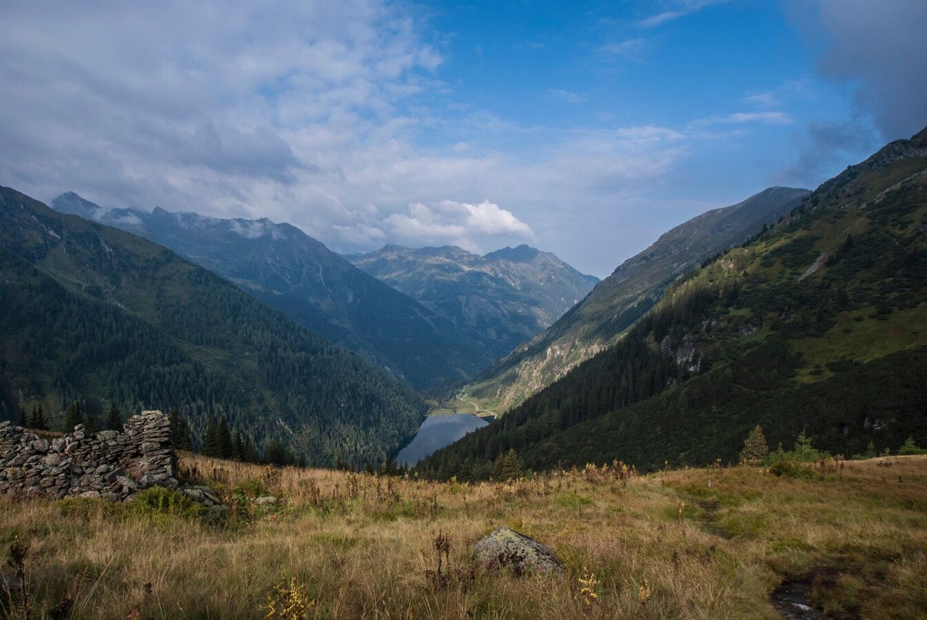
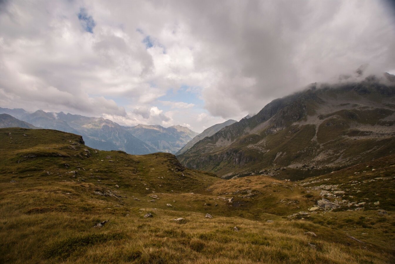
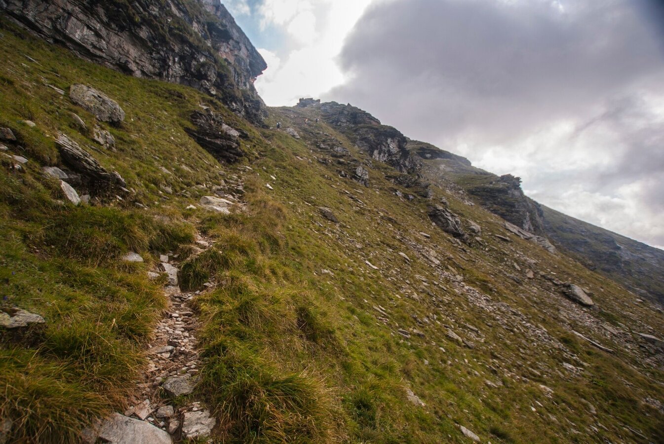
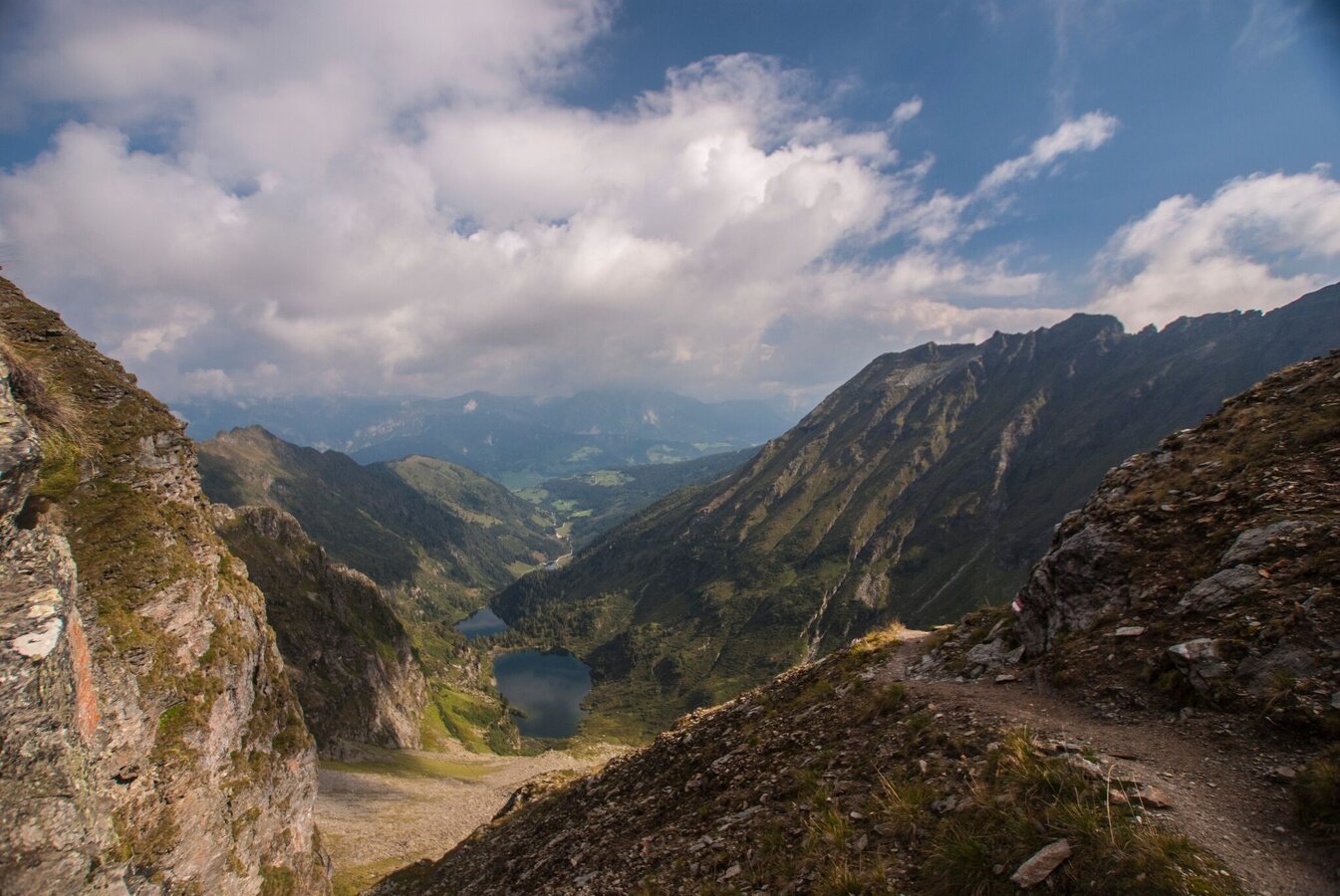
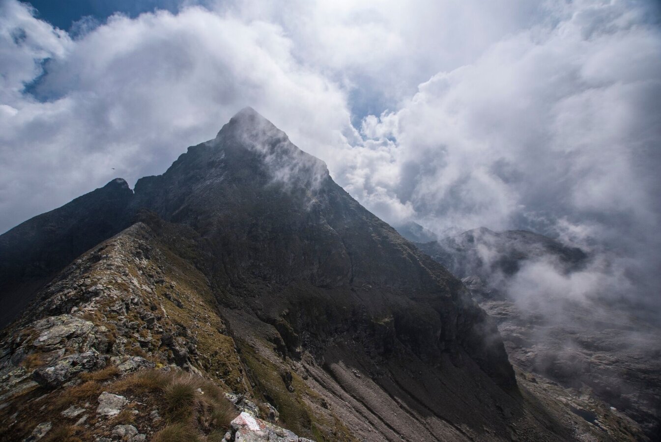
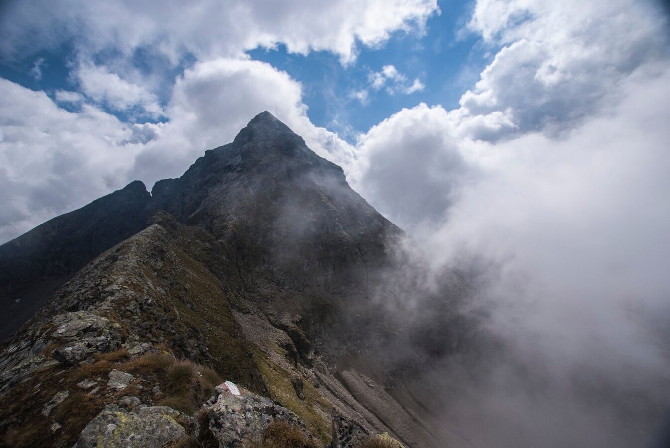
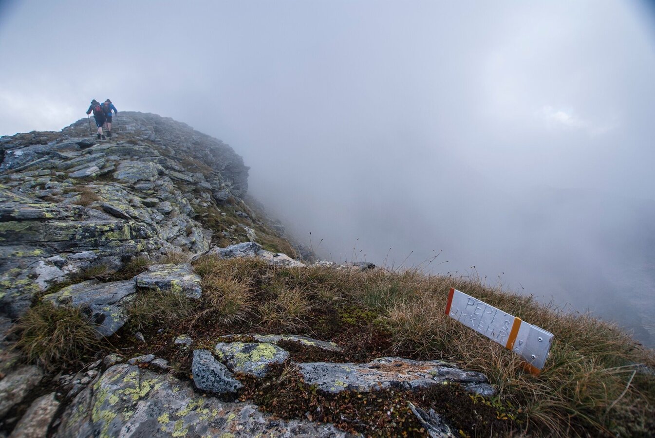
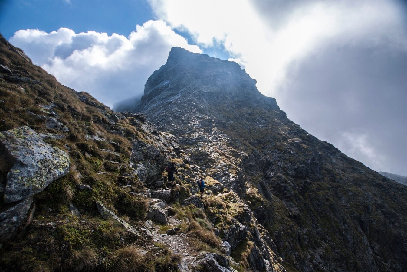
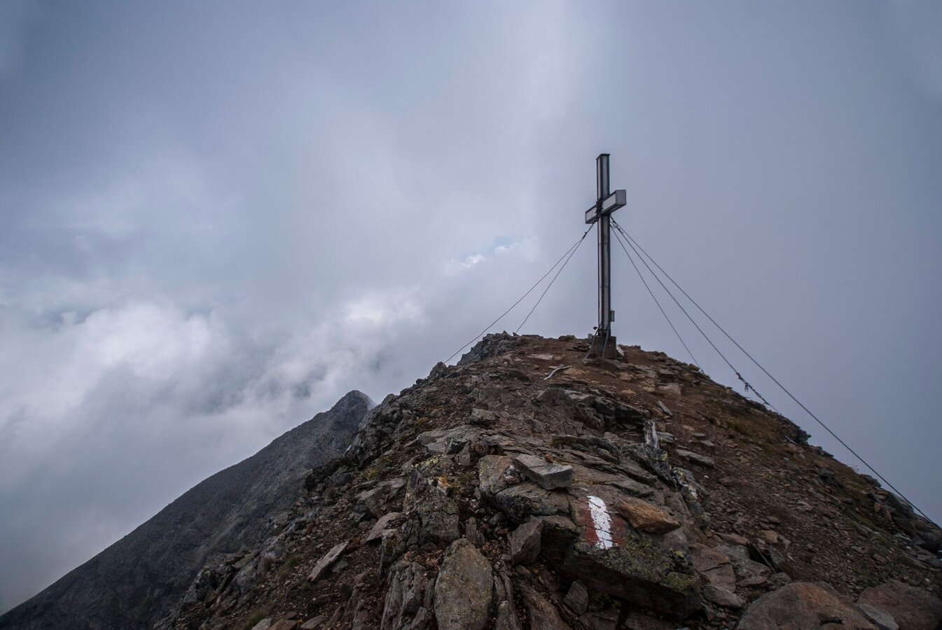
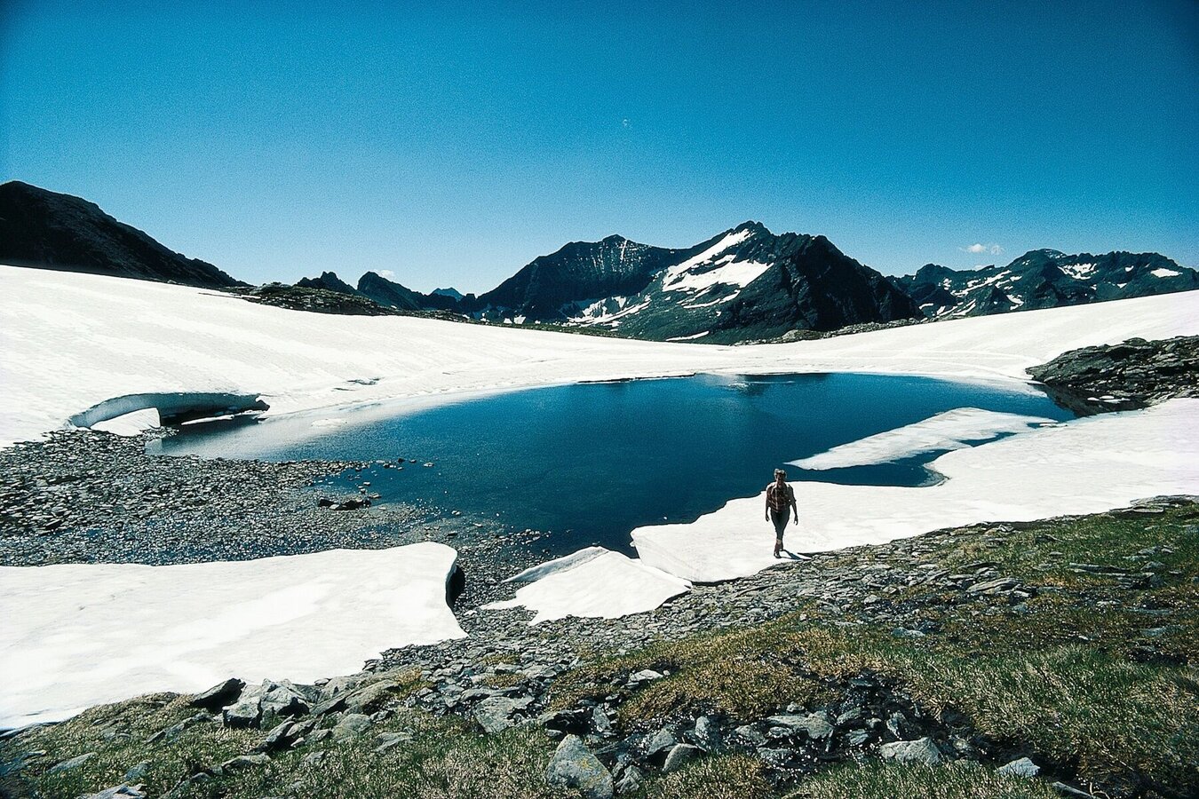
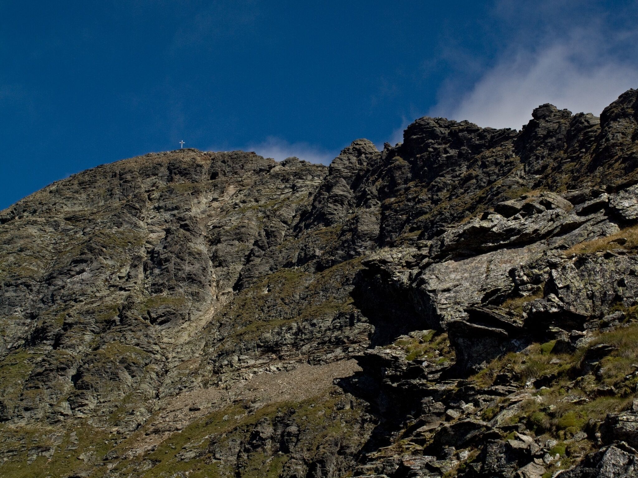
Several ascents to the highest, pure styrian summit are existing – but this one across the south ridge counts to the most beautiful ones. The ascent from the Preintaler hut through the Trattenkar and the Himmelreich is, especially in early summer, very attractive, because of the alpine roses and the several little streams. After the wayside cross at the Wildloch Scharte the rocky steps begin and later on the scree ridge. The trail leads across narrow bands around the various buttes to the summit, with its magnificent panorama. The ascent leads across the easier north ridge to the Kleine Wildstelle and the Neualmscharte. From there across the way no. 782 back to the Preintaler hut.
Variant: For those who might be afraid of the airy passage at the south ridge, we recommend to choose the descent described above as the ascent. Take care at the transition from the Niedere Wildstelle to the summit ridge.
Variant across the Hans Wödl hut and the Neualmscharte
For those who don’t stay overnight at the Preintaler hut, can start the tour also straight at the parking area Riesach (Rohrmoos-Untertal). Duration for the ascent to the Preintaler hut: 2,5 hours.
Safety informationSafety on the mountainside: changes in the weather, sudden fall in temperature, thunder storms, wind, fog and snow fields are all objective dangers and require the correct behaviour whilst underway. The landlords of the huts are all very knowledgeable about the mountains and can give you good tips about the weather and the routes. Insufficient equipment, exaggerated opinion of ones capabilities, frivolousness, poor health condition and a false evaluation of the situation can lead to a critical situation. In thunder storms: summits, crest-sites and safety rope aids are to be avoided.
If something should happen call following emergency numbers: No. 140 - the number for all Alpine Emergencies in all of Austria No. 112 - European emergency call GSM emergency-call-service
Summer Recreation Map WEST - available in all Information Offices in the region Schladming-Dachstein
Wanderführer - Herbert Raffalt
Here you will find all hiking maps and important brochures to download.
- Hiking map ‘Hiking WEST’ available at the information offices in the region.
- Schladming hiking map, 1:25,000, available at the Schladming information office.
- Hiking map Schladming-Dachstein, 1:50,000, available at the information offices in the region.
- Hiking guide Schladming-Dachstein by Herbert Raffalt, available at the information offices in the region.


