

Preintalerhütte - Putzentalalm | Schladminger Tauern Trail Alternative

Tour description
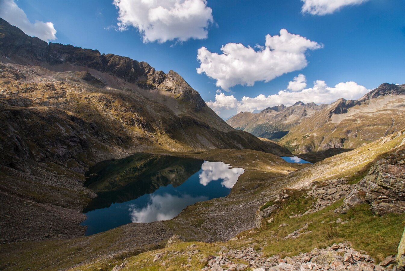
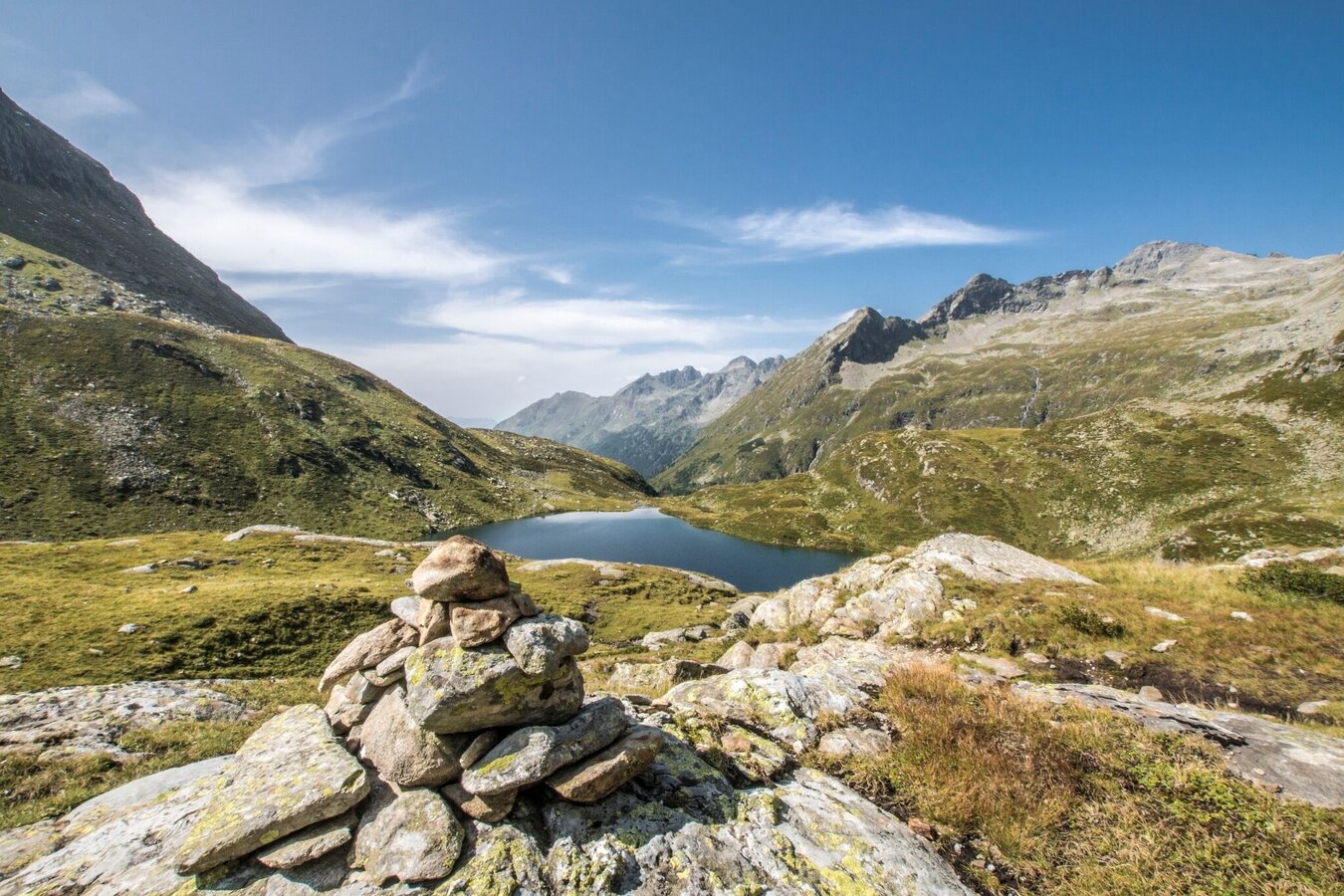
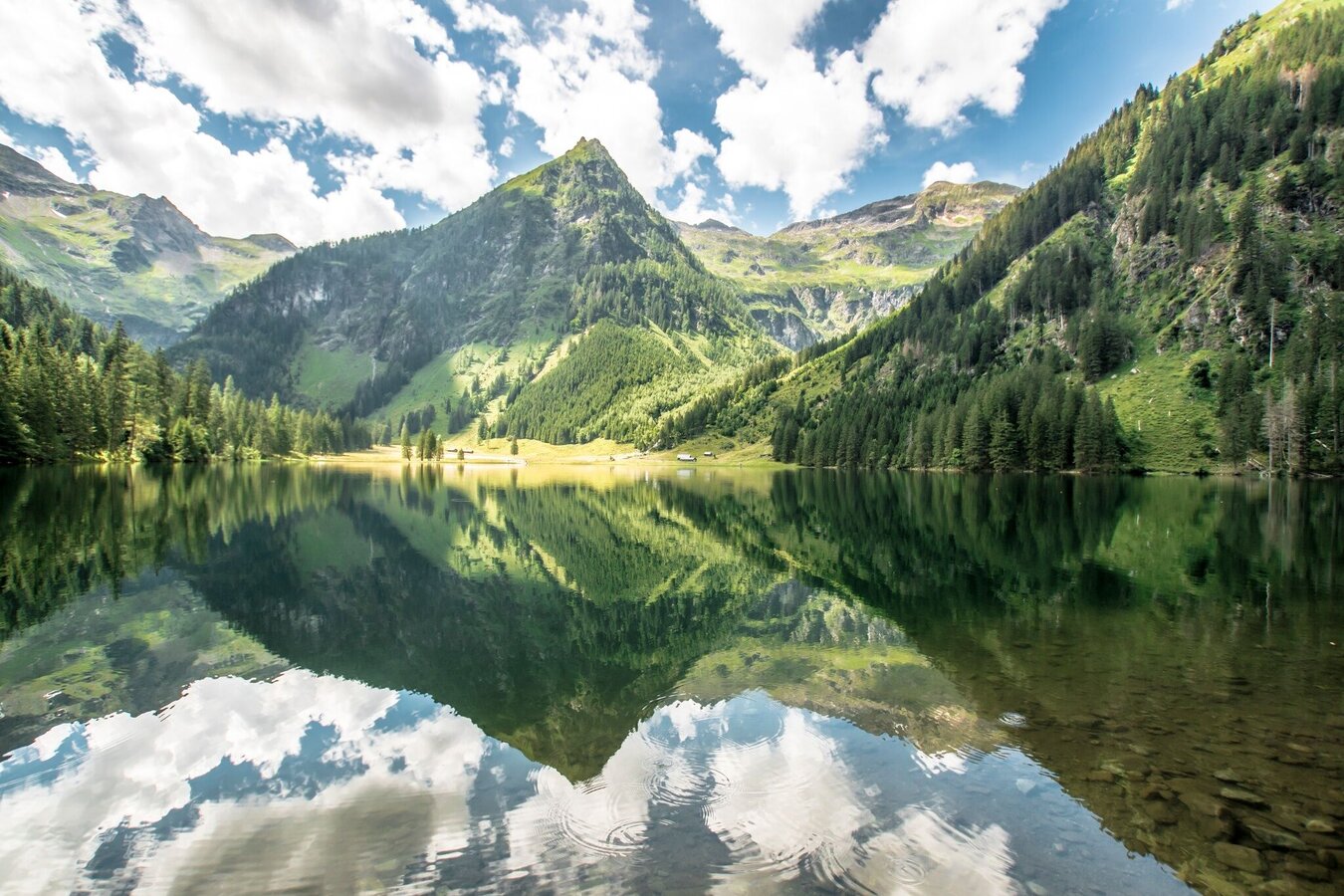
This route gives you some time to spend some time at the beautiful mountain lakes in the Schladminger Tauern. The Sonntagskarseen invite you to take your first long break with the spectacular surrounding mountain panorama. From the Rettingscharte you have a great view of the Schwarzensee and once you get there you can let time stand still for a bit and enjoy the wonderful mountain lake landscape.
The tour
Map, elevation profile & further information
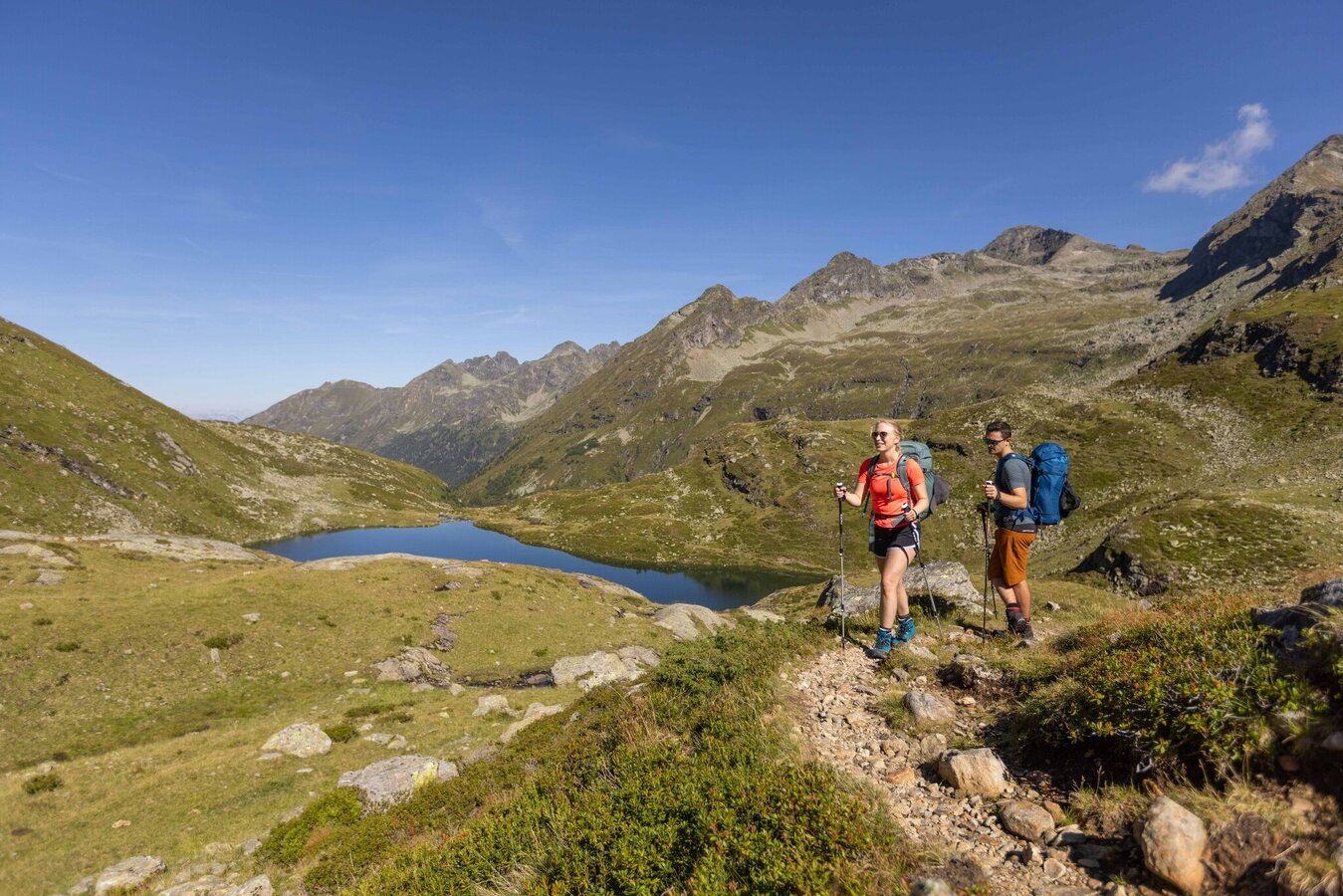
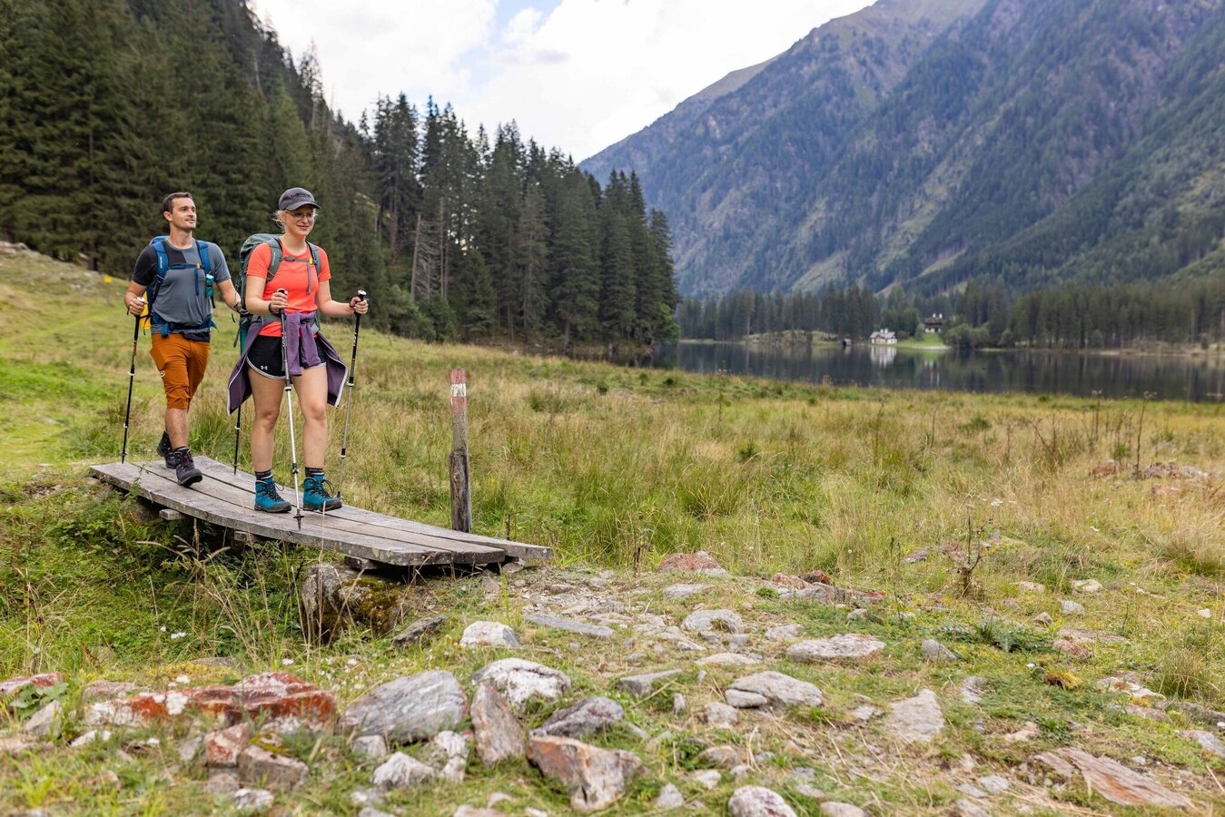
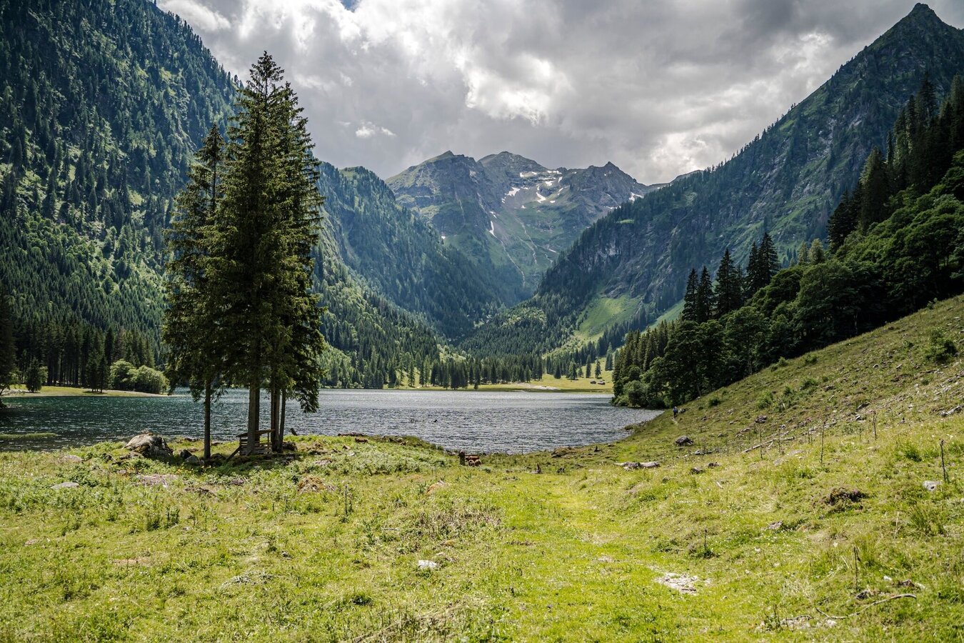
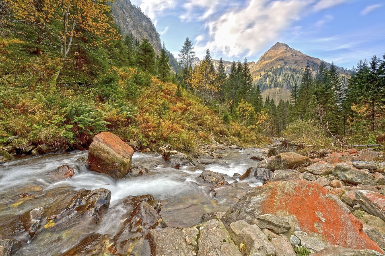
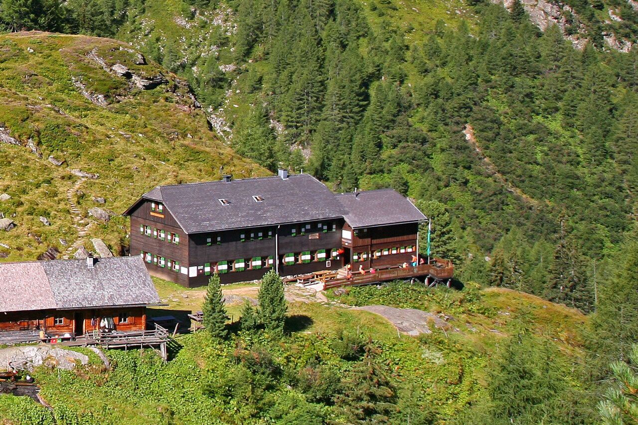
From the Preintalerhütte and Waldhornalm you follow path #784 to the Sonntagskarseen. After just over an hour you will reach the lower of the two lakes, which lie in the middle of an impressive mountain basin. The path continues on the north bank of the lake and a good half an hour later you reach the Oberer Sonntagskarsee. From there, past the east bank, you climb the gravelly path to the striking cut of the Rettingscharte. The view down to the Schwarzensee in the Kleinsölktal is magnificent. Now it goes downhill into the Steinigboden until you finally reach the Schwarzensee at the waterfall near the Schwabalm.
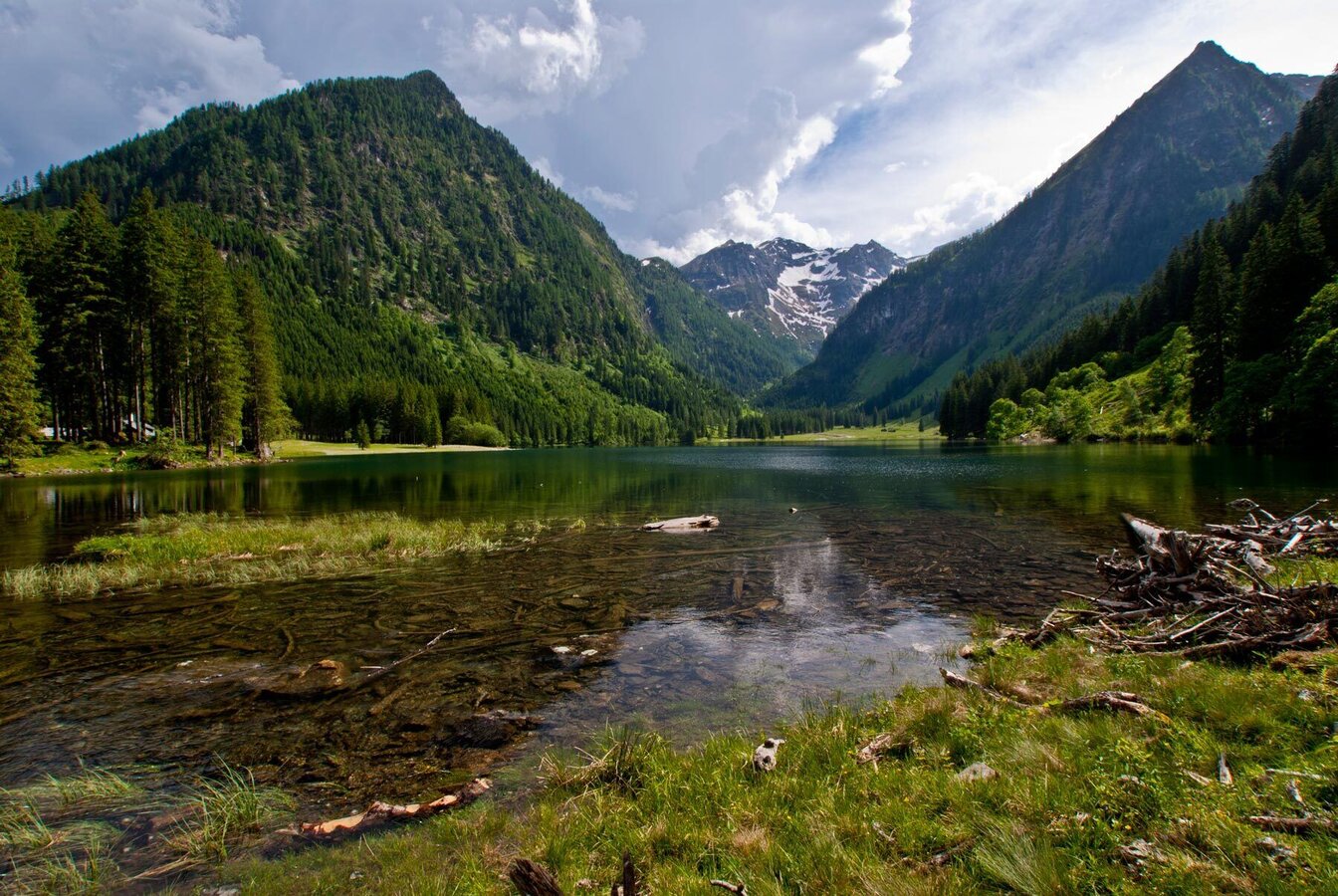
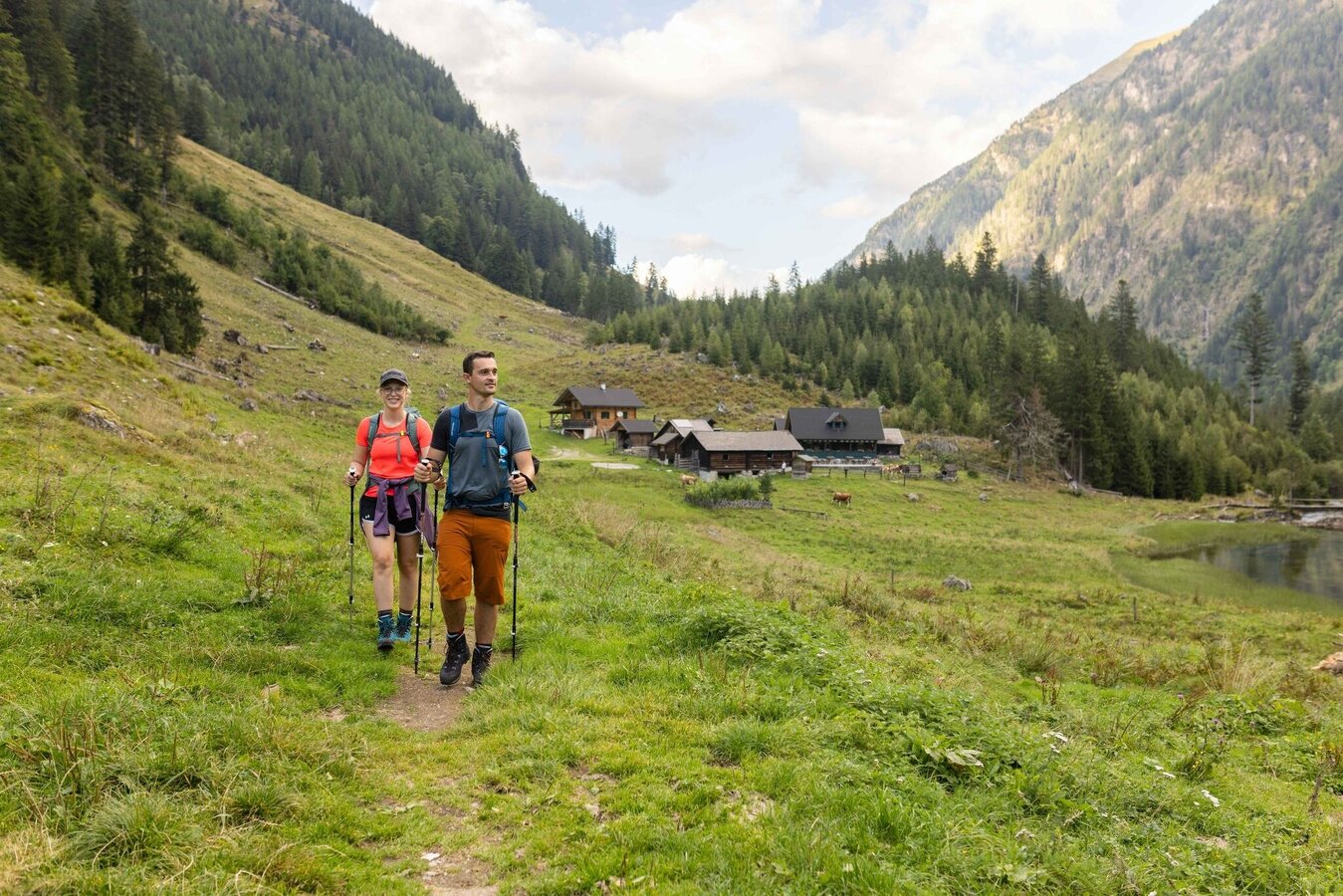
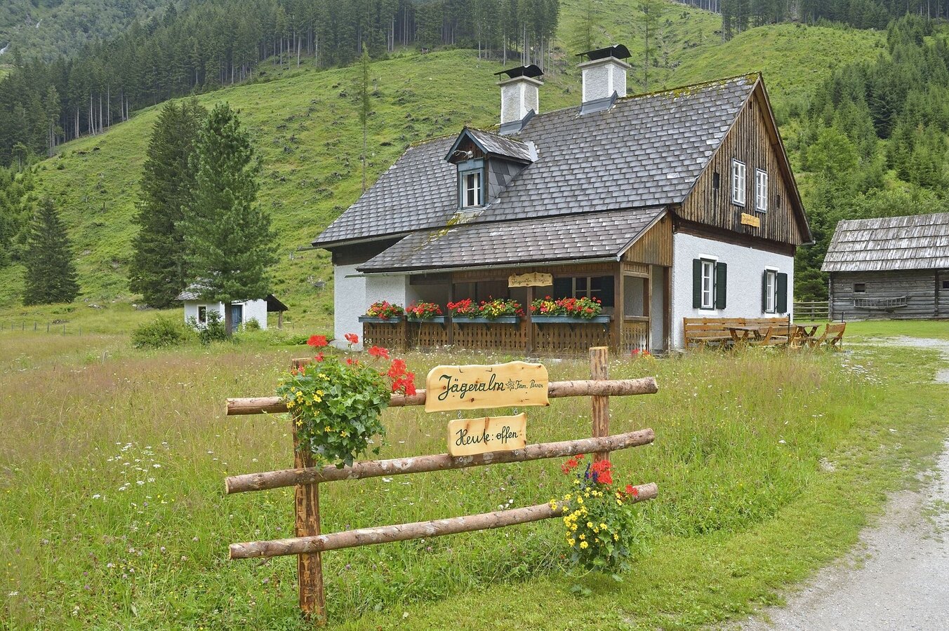
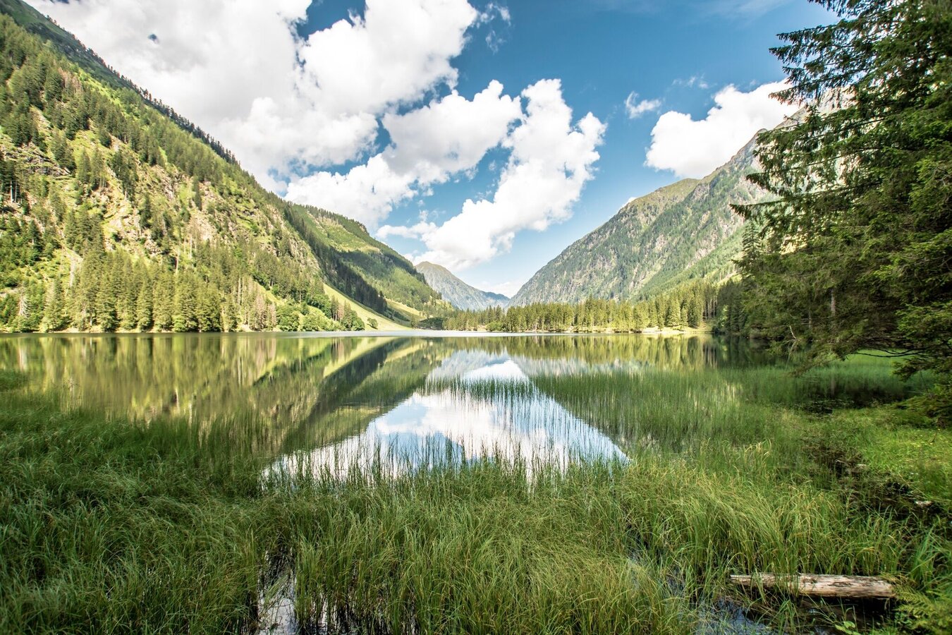
At the southern tip of the Schwarzensee, the forest path branches off to the right to the Putzentalalm. If you want, you can hike there directly. In any case, we recommend that you spend a while at the lake and take a walk around the lake, past the Harmeralm and the Jägeralm. Great photo opportunities included! Along the forest path you can reach the Putzentalalm from Schwarzensee in about 45 minutes.
From Schladming take provincial highway L722 (Rohrmoosstraße road) to Rohrmoos and at the roundabout continue on provincial highway L723 (Tälerstraße road) to Untertal village. At the end of the village keep left on "Untertalstraße" road and follow it to the valley head of Untertal valley at Seeleiten car park.
Seeleiten car park at the valley head of Untertal.
There is a parking fee on the public parking spaces in Untertal valley.
The starting point at the Preintalerhütte can only be reached by hiking. You can reach the Preintalerhütte in a hike of approx. 2 hours from the Seeleiten car park in Untertal. This can be reached with the valley bus number 974 of the Planai buses: www.planaibus.at
Changes in weather patterns, quick falls in temperature, thunderstorms, wind, fog and snow are some of the dangers that can be encountered on a hiking tour. Hosts of alpine huts and mountain refuges have a lot of experience in the mountains and can give good advice about weather and the trails. Poor equipment, overestimation of one's own capabilities, carelessness, poor personal constitution and/or wrong judgement can lead to critical situations. In case of thunderstorms: avoid summits, ridges and steel ropes.
- Plan your tour in advance, taking into account walking time, route length, altitude difference, danger spots and weather forecast.
- Together is much more beautiful and at the same time safer in the mountains. Do not go alone, if possible, and adapt the tour to the ability of your group.
- Let them know where you are going and when you want to be back. Also sign hut or summit books.
GPS data and orienteering
Available GPS data - just like hiking maps - is only a guidance for orientation and can never depict a trail exactly with all its details. Especially at dangerous spots it is essential to judge on site how to proceed.
In an emergency please call:
- 140 - for Alpine emergencies (all over Austria)
- 112 - European GSM emergency number
A well-packed backpack is helpful and especially when touring Alpine terrain a tuque, gloves, a windproof jacket and pants are standard equipment. Good, waterproof shoes, sun glasses, sun cream and sufficient beverages are essential too. Torch light, a map of the area, knie and a small first-aid kit should also be in the backpack.
Depending on where you stay overnight - Breitlahnhütte or Putzentalalm - there are alternative transition options from the Preintalerhütte to Kleinsölktal.
Hiking map 1:50,000 Schladming-Dachstein, available from the Schladming-Dachstein Tourism Association and its information offices.


