

Preintalerhütte chalet via Alpine Trail through "Höll" gorge
Tour description
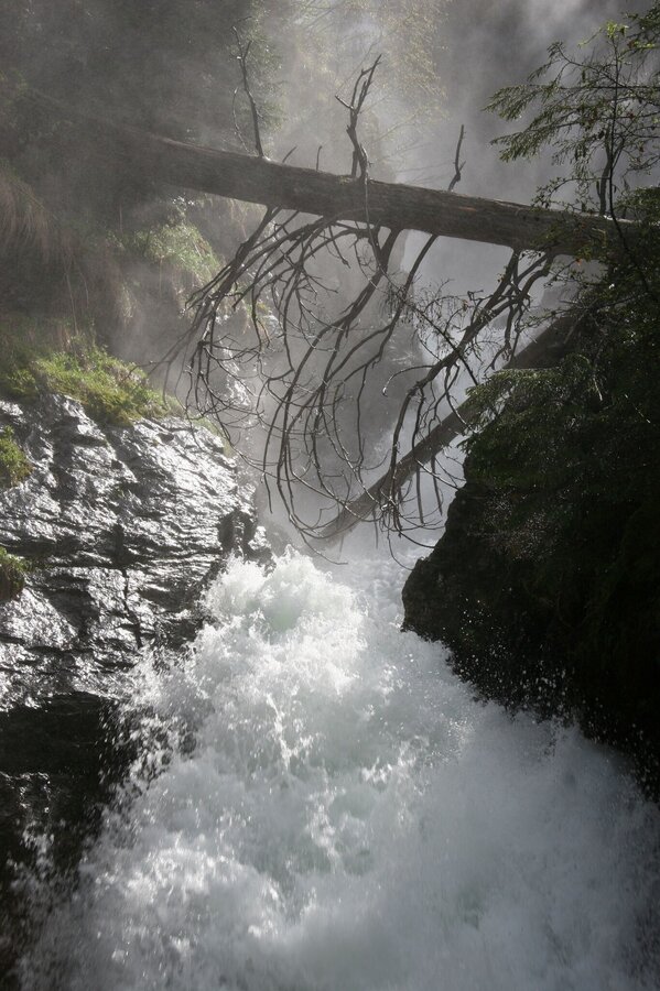
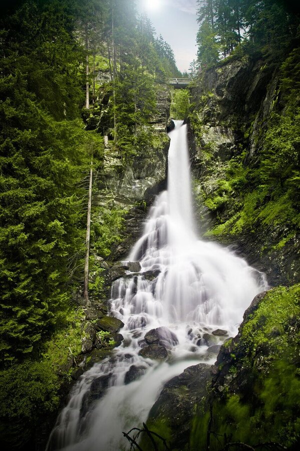
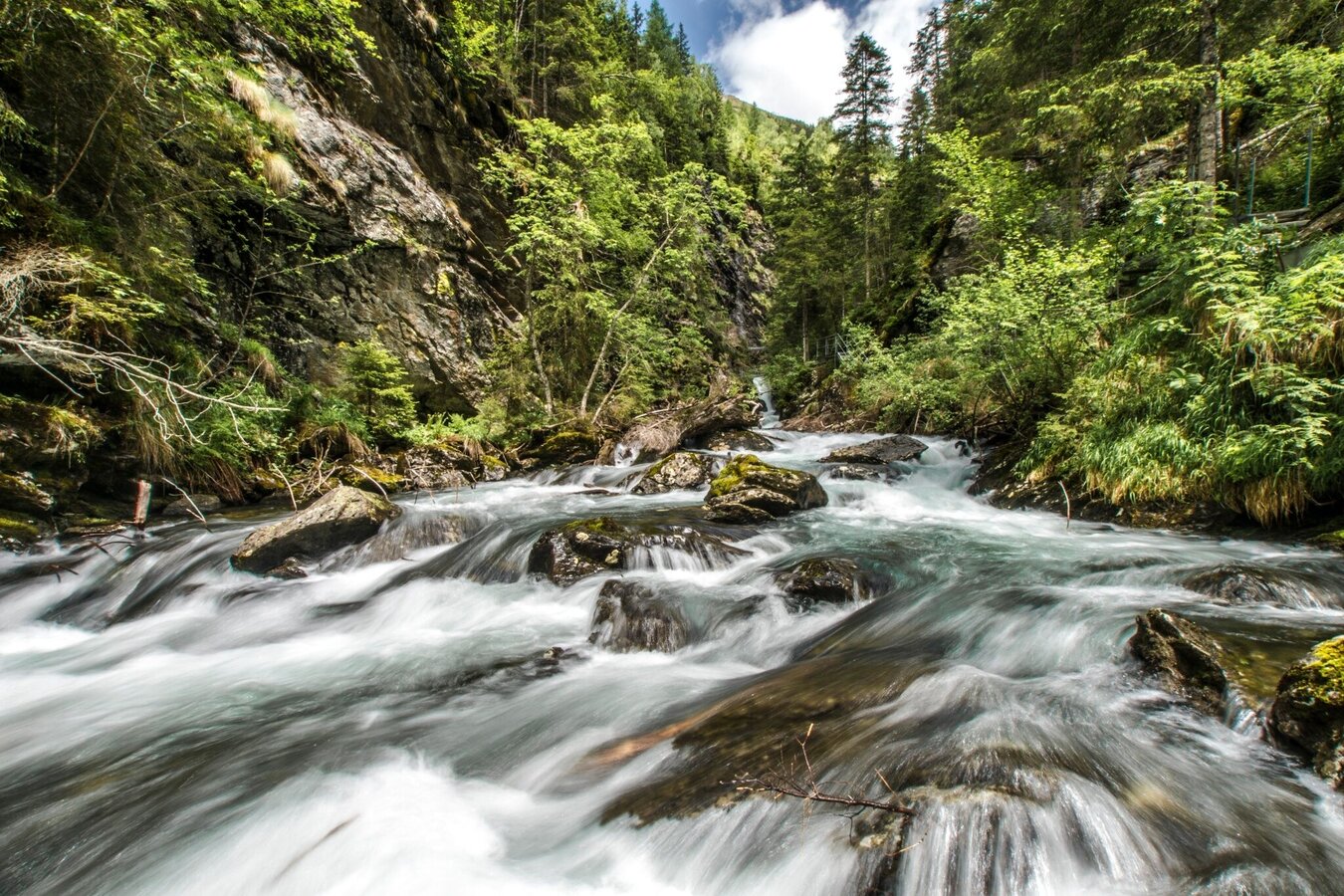
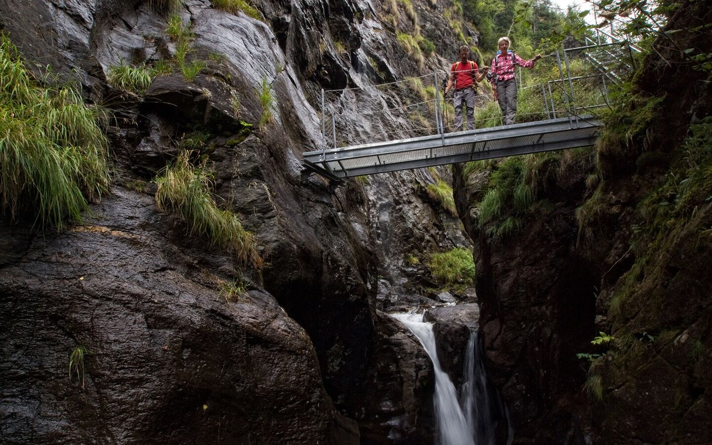
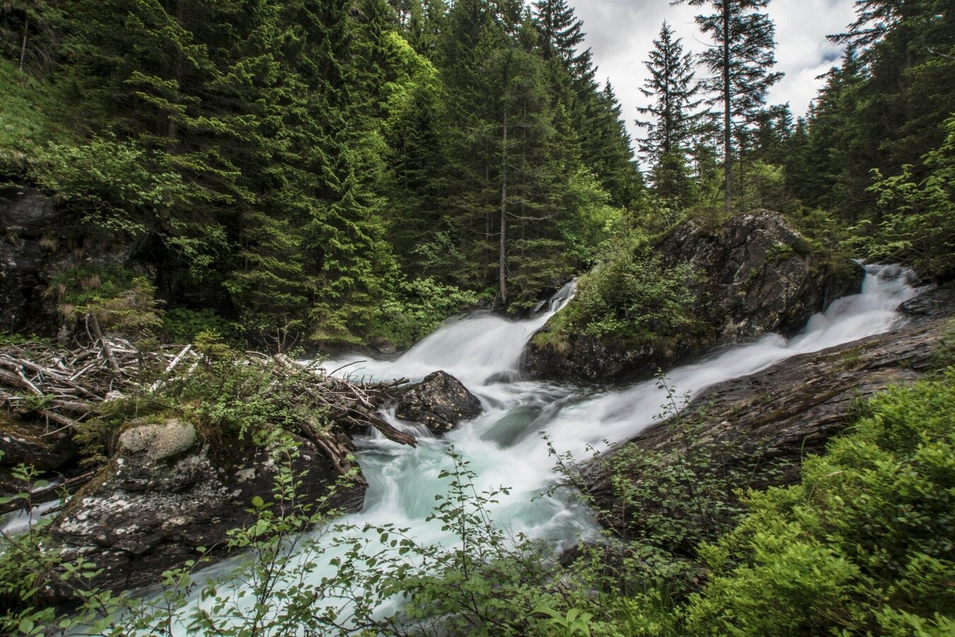
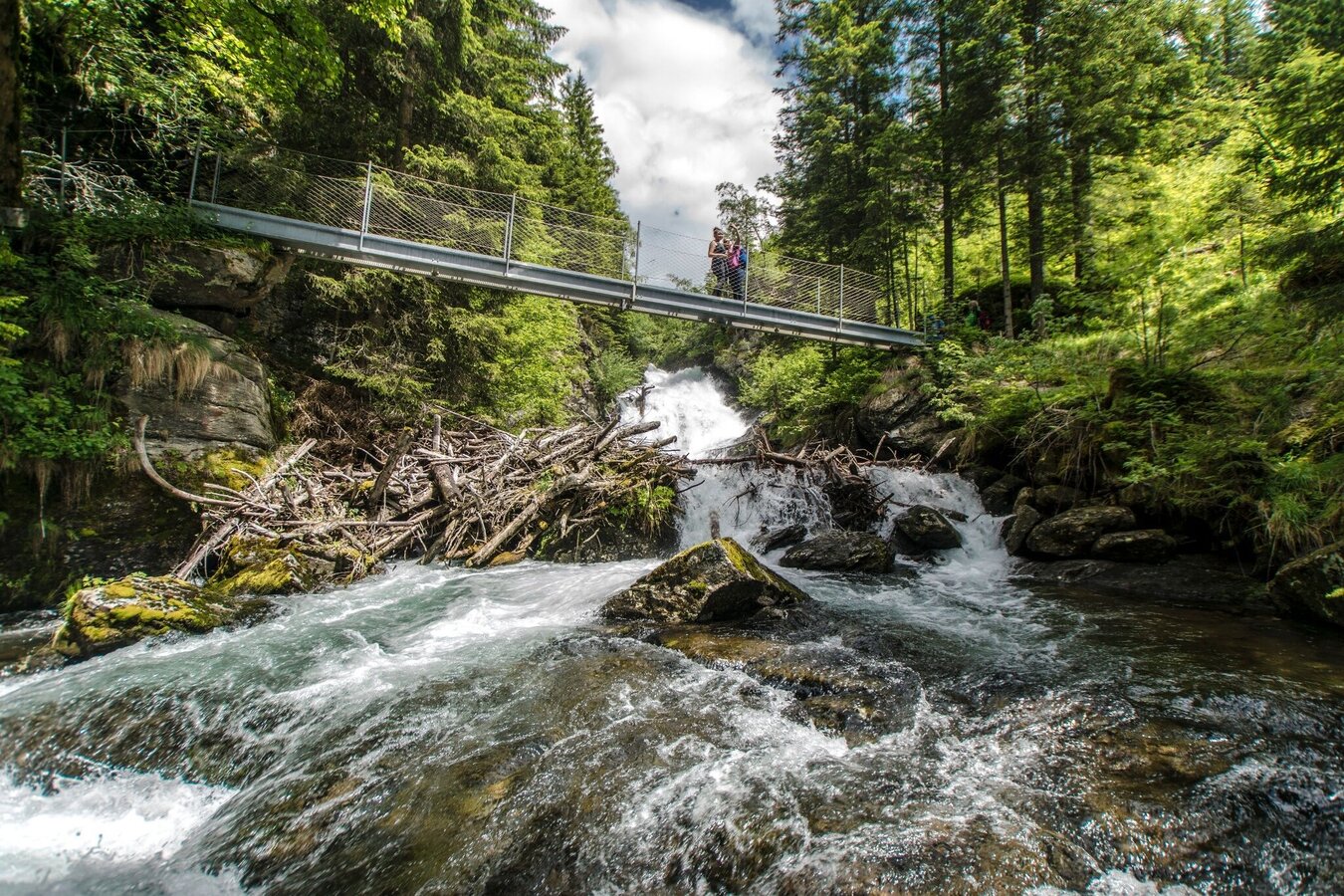
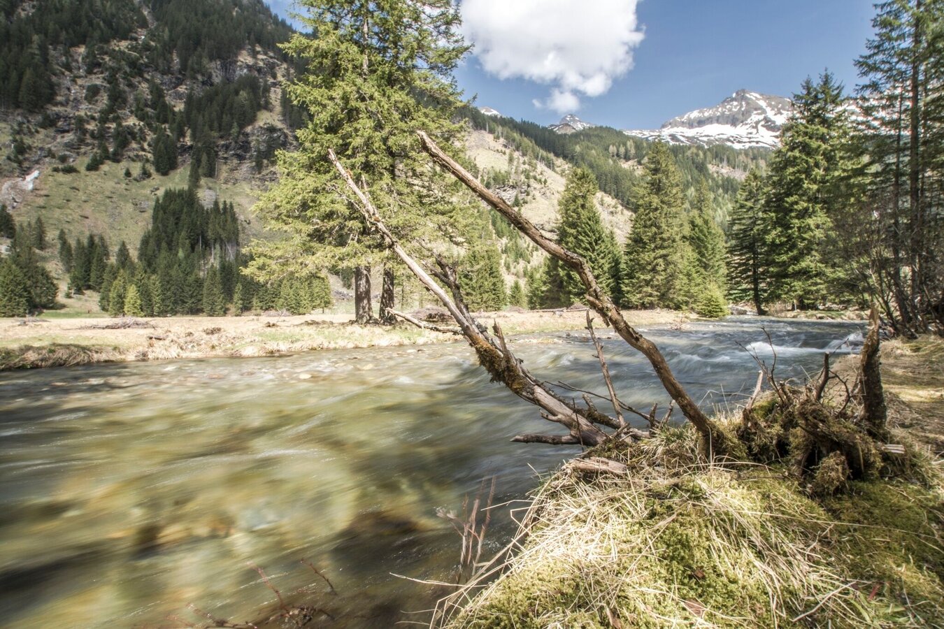
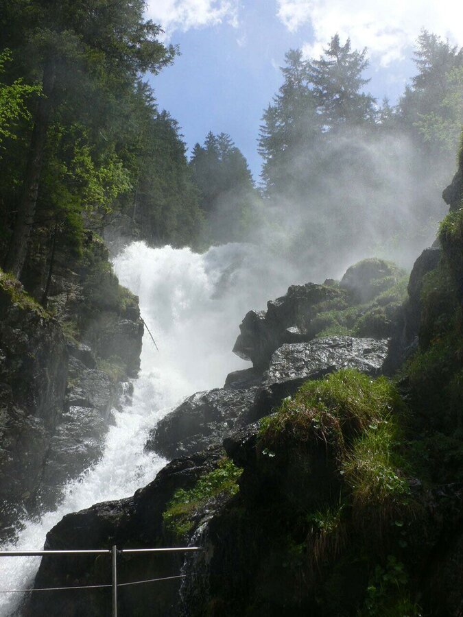
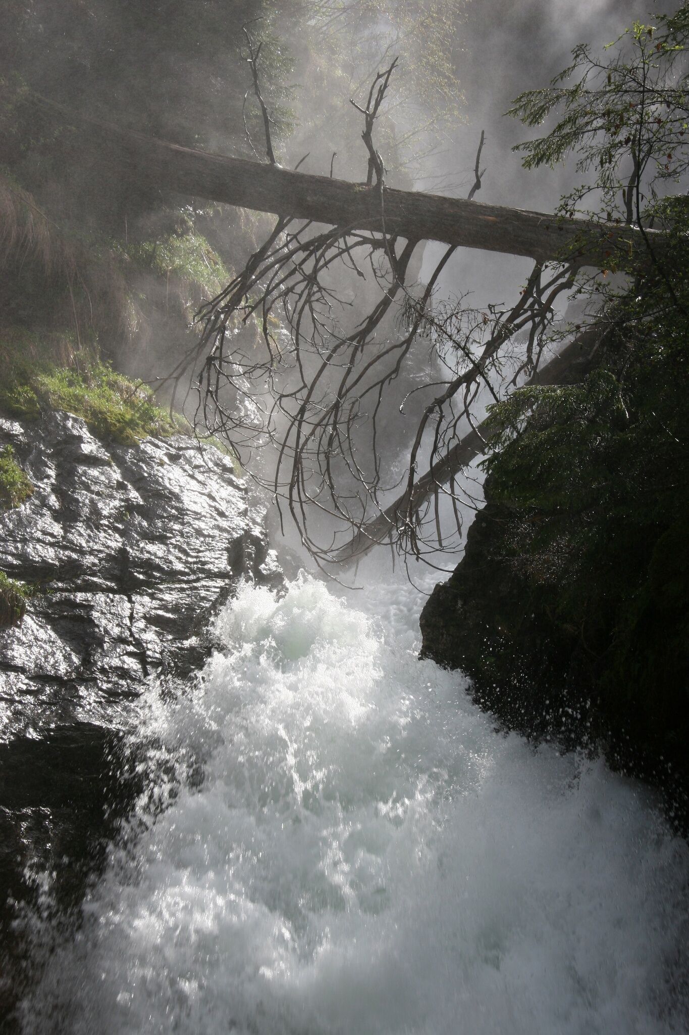
„Wild Waters“ – this is obviously the right title for this hiking tour. Just after 5 minutes you reach the first viewing platform and are welcomed by the noisy water. Along the Alpine trail you cross the imposing 50 m cable footbridge, at the 70m high Riesach waterfall and you come across several viewing platforms, which grant magnificent views along the “Höll”. The cable footbridge, which is the absolute highlight of this tour, and the viewing platforms grant truly memorable experiences.
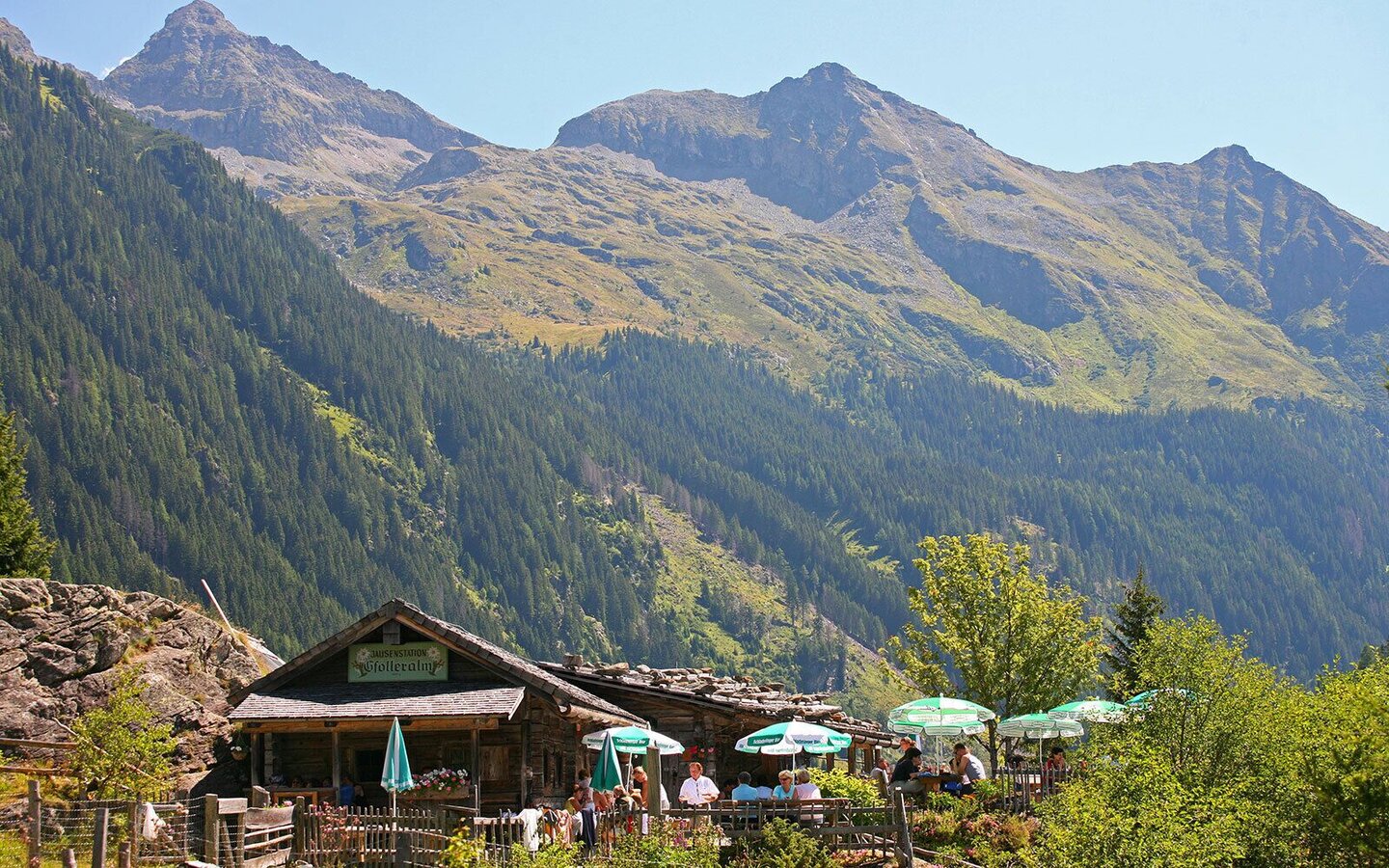
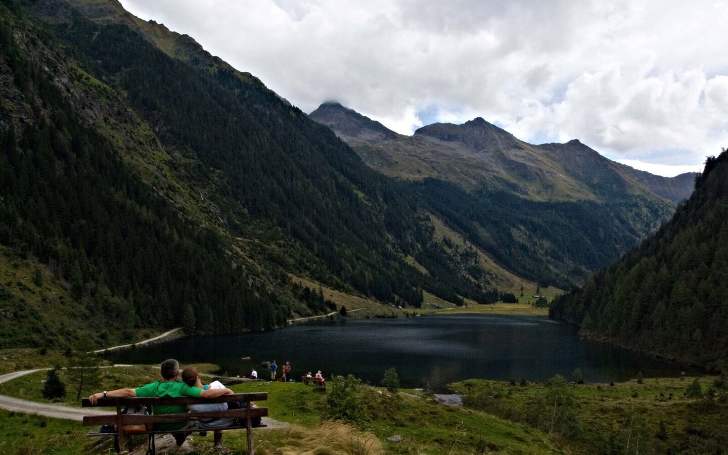
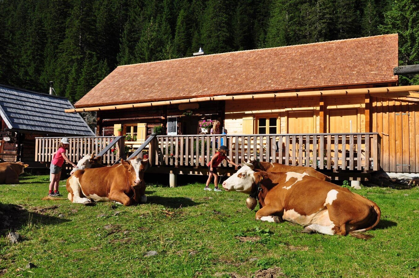
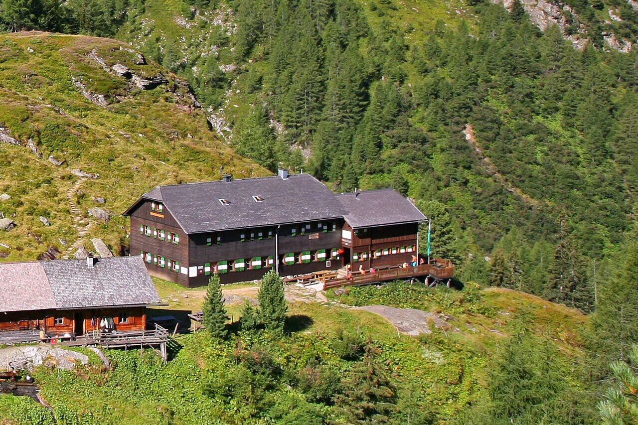
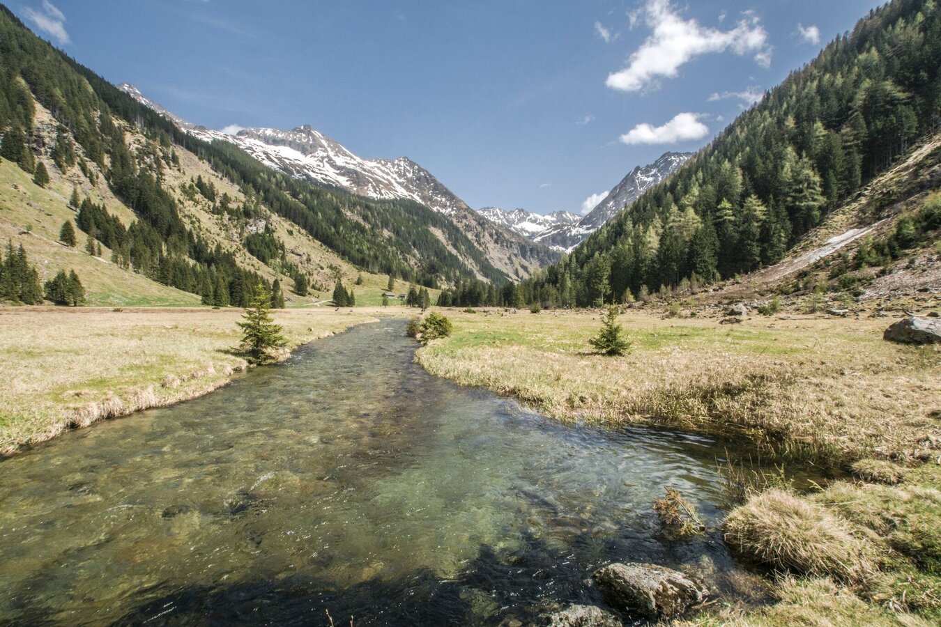
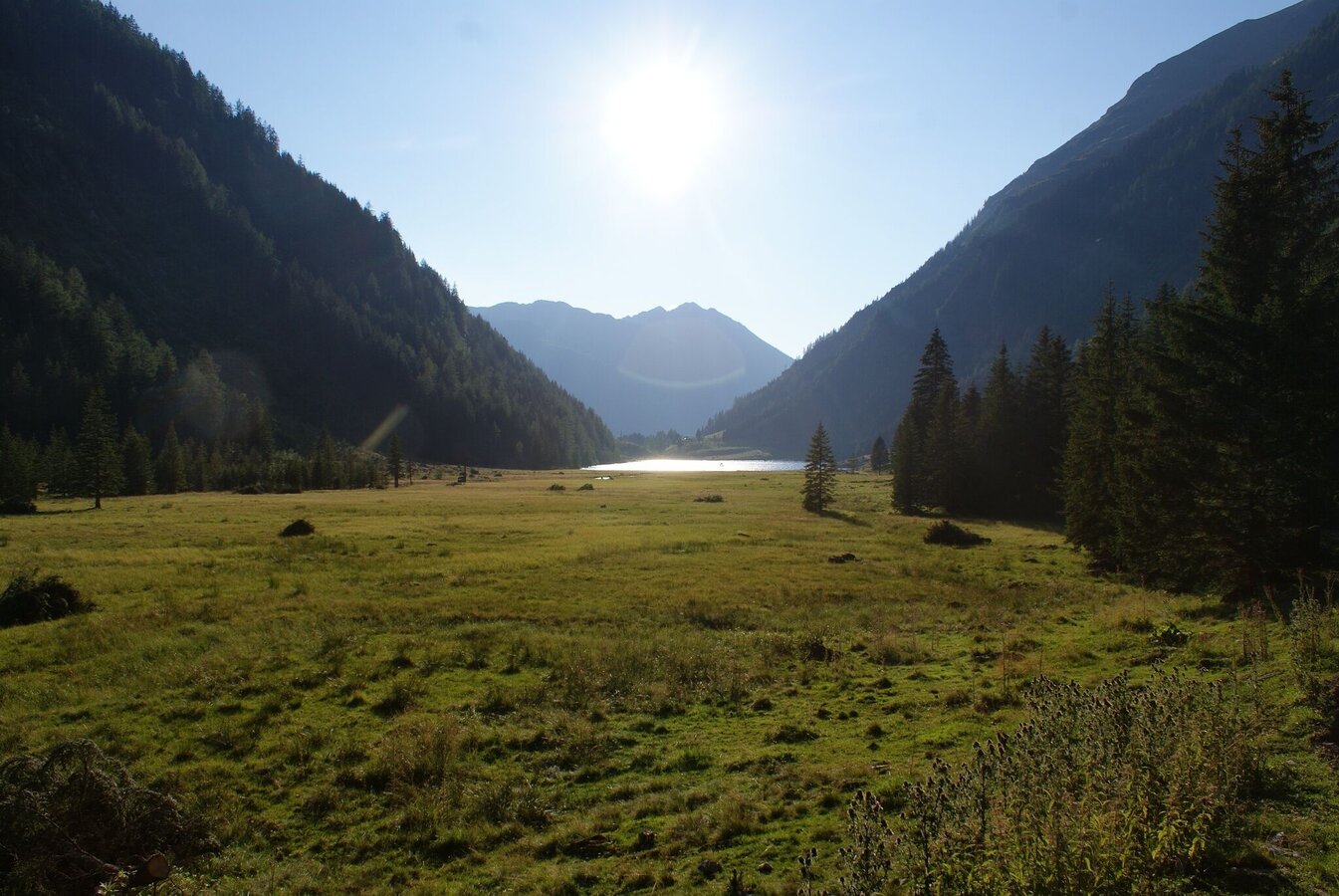
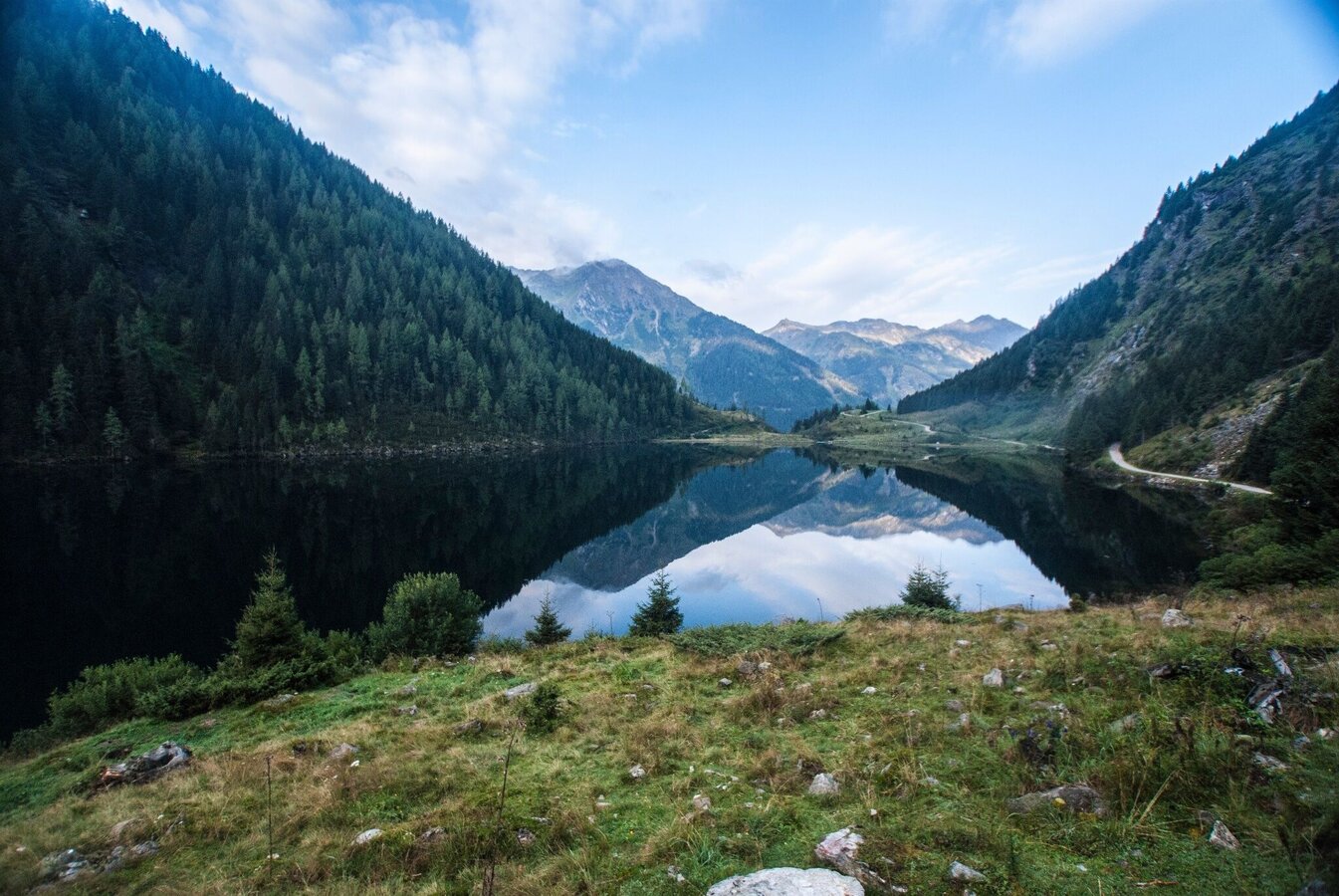
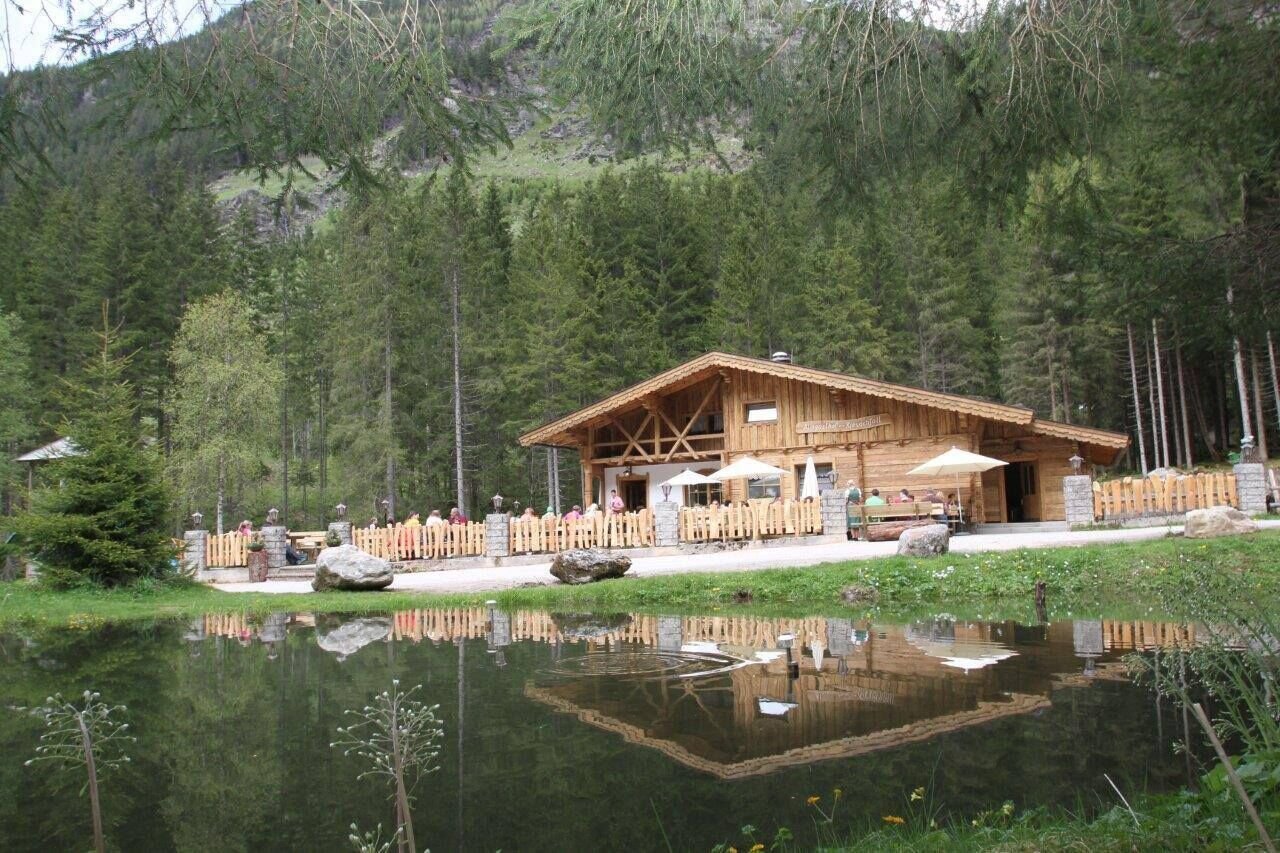
After you have mastered the alpine trail, you reach the romantic Gfölleralm chalet, with the deep green Riesachsee Lake in the backdrop. At Preintalerhütte chalet you have truly deserved a break.
The tour
Map, elevation profile & further information
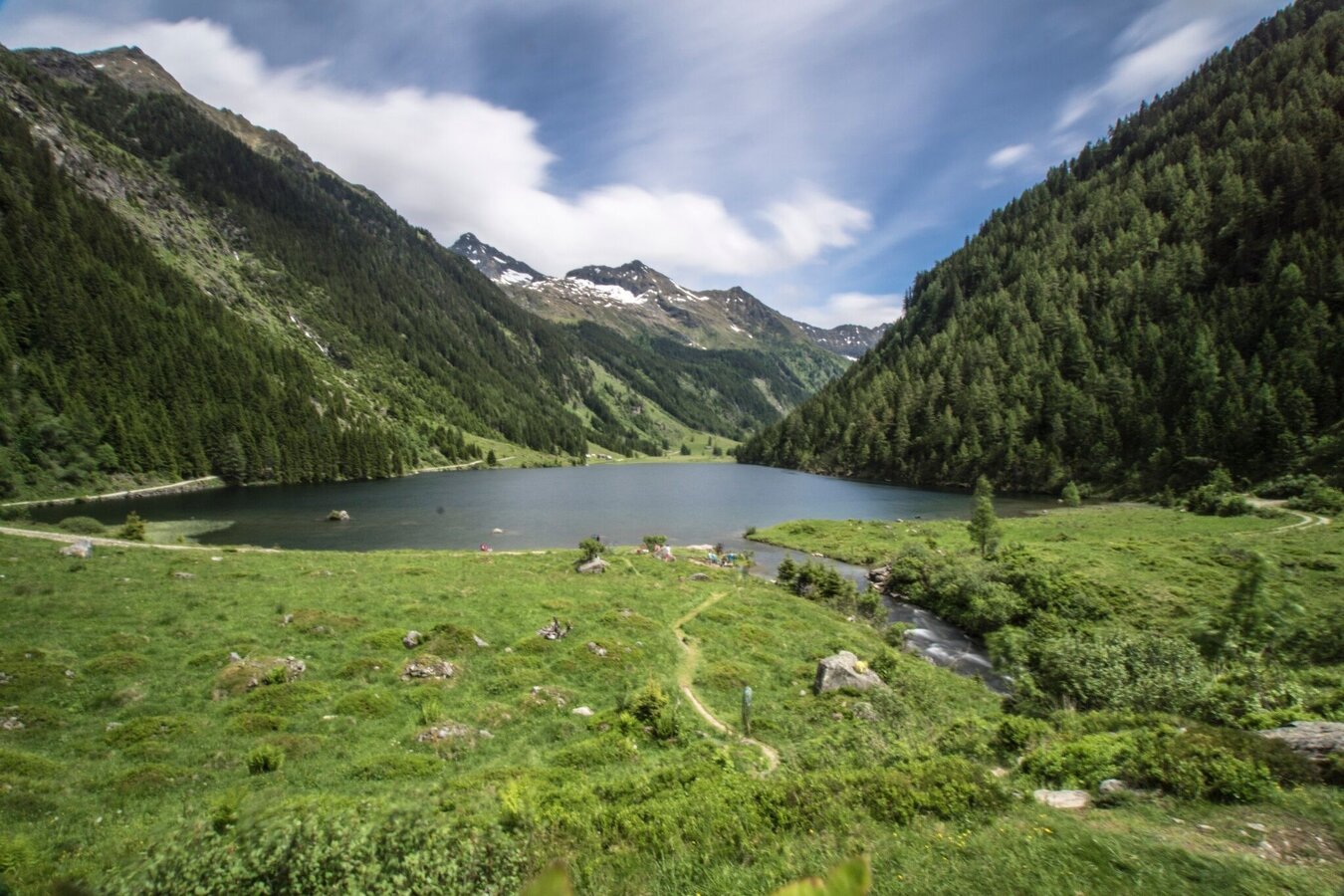
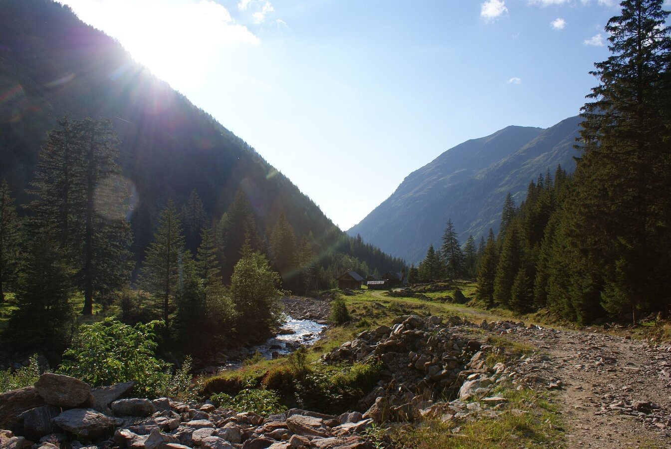
You start your hiking tour at Almgasthaus Riesachfall inn. Already at the beginning of the tour you are welcomed by the noisy water. The Alpine trail “durch die Höll” (through hell) with countless steps and stairs, located close to the rapid, untamed waters of the stream, requires surefootedness. Especially when crossing the imposing 50 m cable footbridge you should be free from giddiness. Afterwards you continue via steps and ladders to Gfölleralm chalet. From here on the path no. 777 leads you along the bank of the Riesachsee Lake to several alpine chalets.
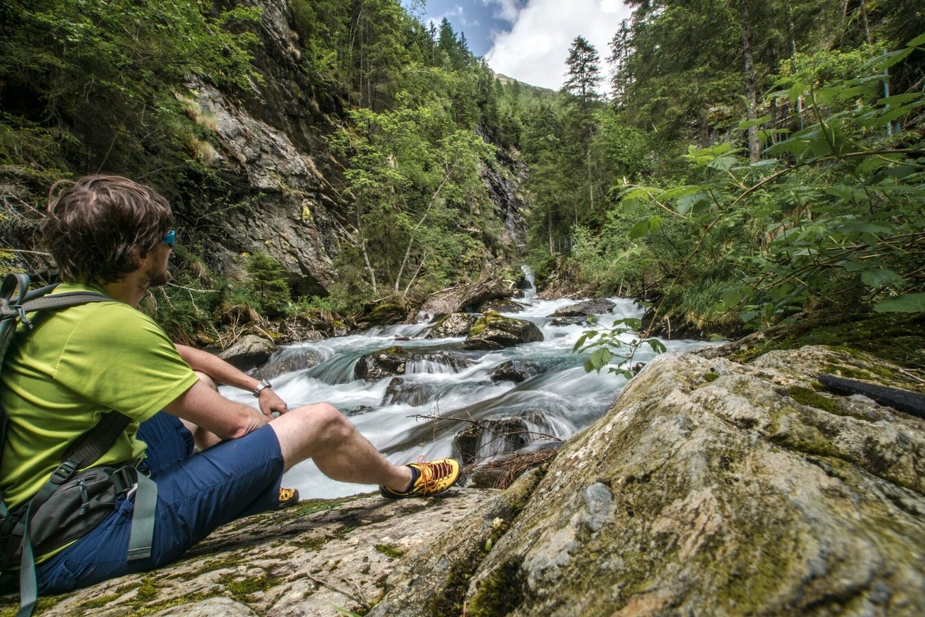
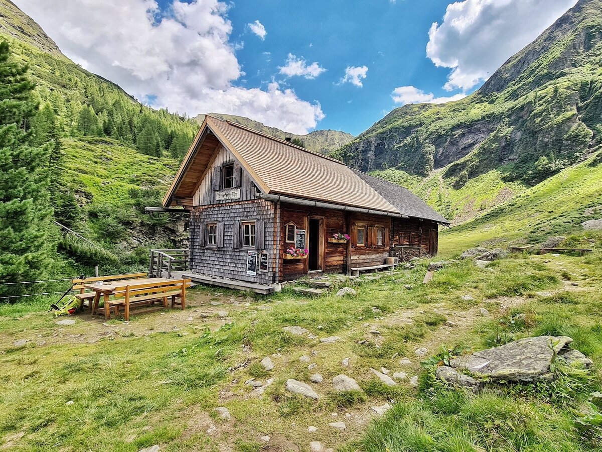
Shortly after Berallerhütte chalet at Kotalm a moderately steep ascent along the wild rushing stream takes you to Preintalerhütte and Waldhornalm chalets, which are situated at an intersection of many hiking trails. The return route is the same way.
If the alpine trail “durch die Höll” sounds a little too adventurous for you, we recommend to hike to Riesachsee Lake along the forest lane.
There is a parking fee on the public parking spaces in Untertal valley.
- Buses of Planai-Hochwurzen-Bahnen: www.planaibus.at
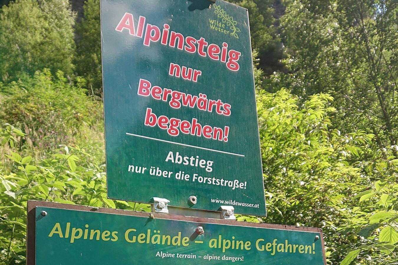
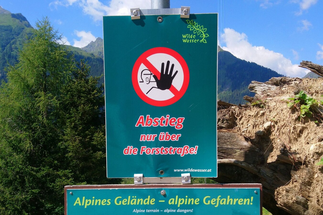
Take care at the alpine path - due to wetnes the steps can be very slippery.
dangers that can be encountered on a hiking tour. Hosts of alpine huts and mountain refuges have a lot of experience in the mountains and can give good advice about weather and the trails. Poor equipment, overestimation of one's own capabilities, carelessness, poor personal constitution and/or wrong judgement can lead to critical situations. In case of thunderstorms: avoid summits, ridges and steel ropes.
GPS data and orienteering
Available GPS data - just like hiking maps - is only a guidance for orientation and can never depict a trail exactly with all its details. Especially at dangerous spots it is essential to judge on site how to proceed.
In an emergency please call:
- 140 - for Alpine emergencies (all over Austria)
- 112 - European GSM emergency number
- For those who still have enough time and stamina, we recommend the ascent to the two Sonntagskarseen Lakes. Duration: approximately 2 hours roundtrip.
Tourist information: www.schladming.com
Information about bus schedules: www.planaibus.at
Information about the water trails "Wild Waters": www.wildewasser.com
360° drone images
Get yourself an overview with our 360° drone images:
- Ascent to Preintalerhütte: https://vonoben.schladming-dachstein.at/sommer/index.php?S=317
- View over Riesachsee Lake: https://vonoben.schladming-dachstein.at/sommer/index.php?S=318
- Hiking map ‘Hiking WEST’ available at the information offices in the region.
- Schladming hiking map, 1:25,000, available at the Schladming information office.
- Hiking map Schladming-Dachstein, 1:50,000, available at the information offices in the region.
- Hiking guide Schladming-Dachstein by Herbert Raffalt, available at the information offices in the region.


