

Schladming
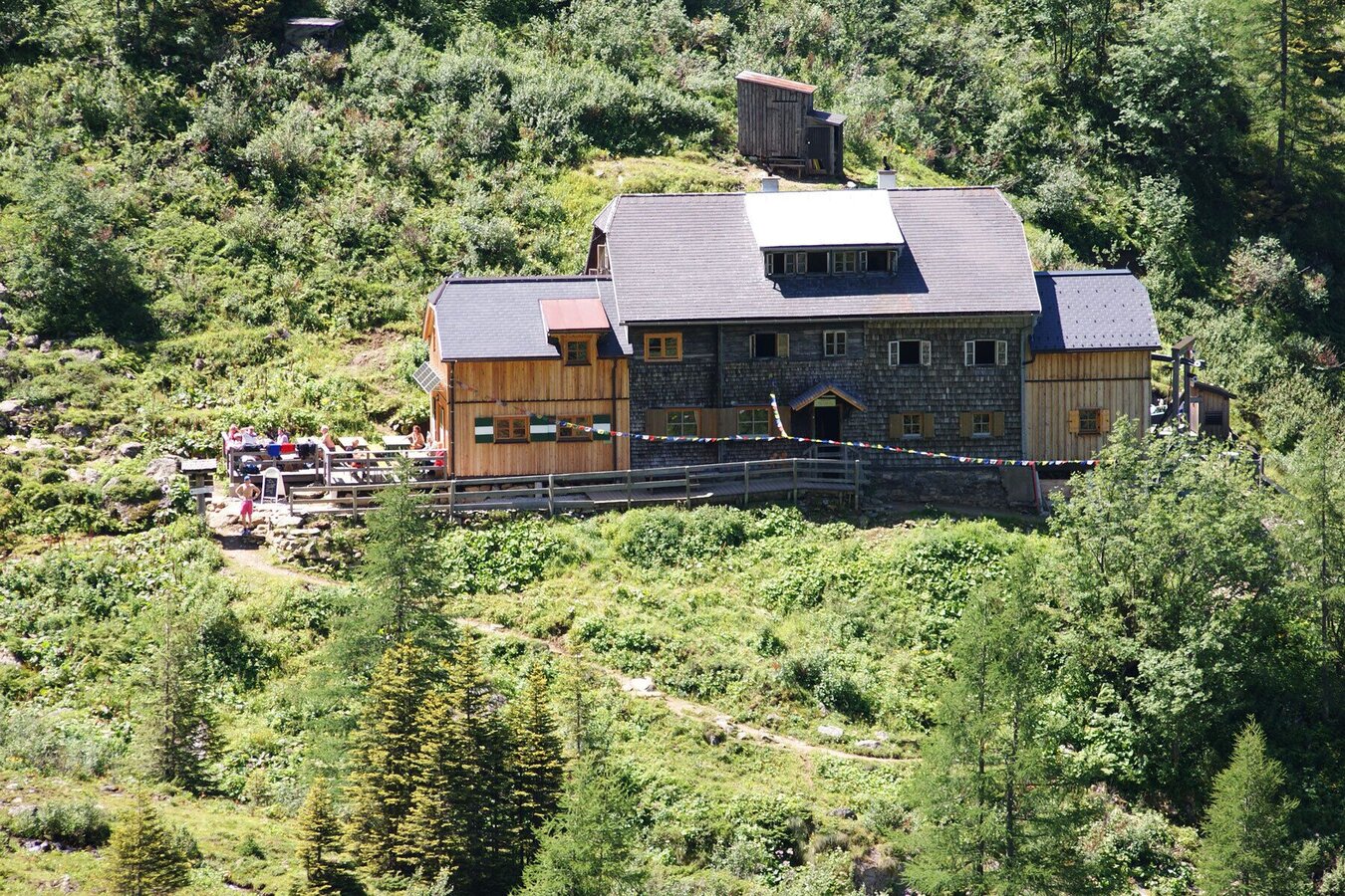
Gollinghütte chalet and Gollingwinkel in Steinriesental valley
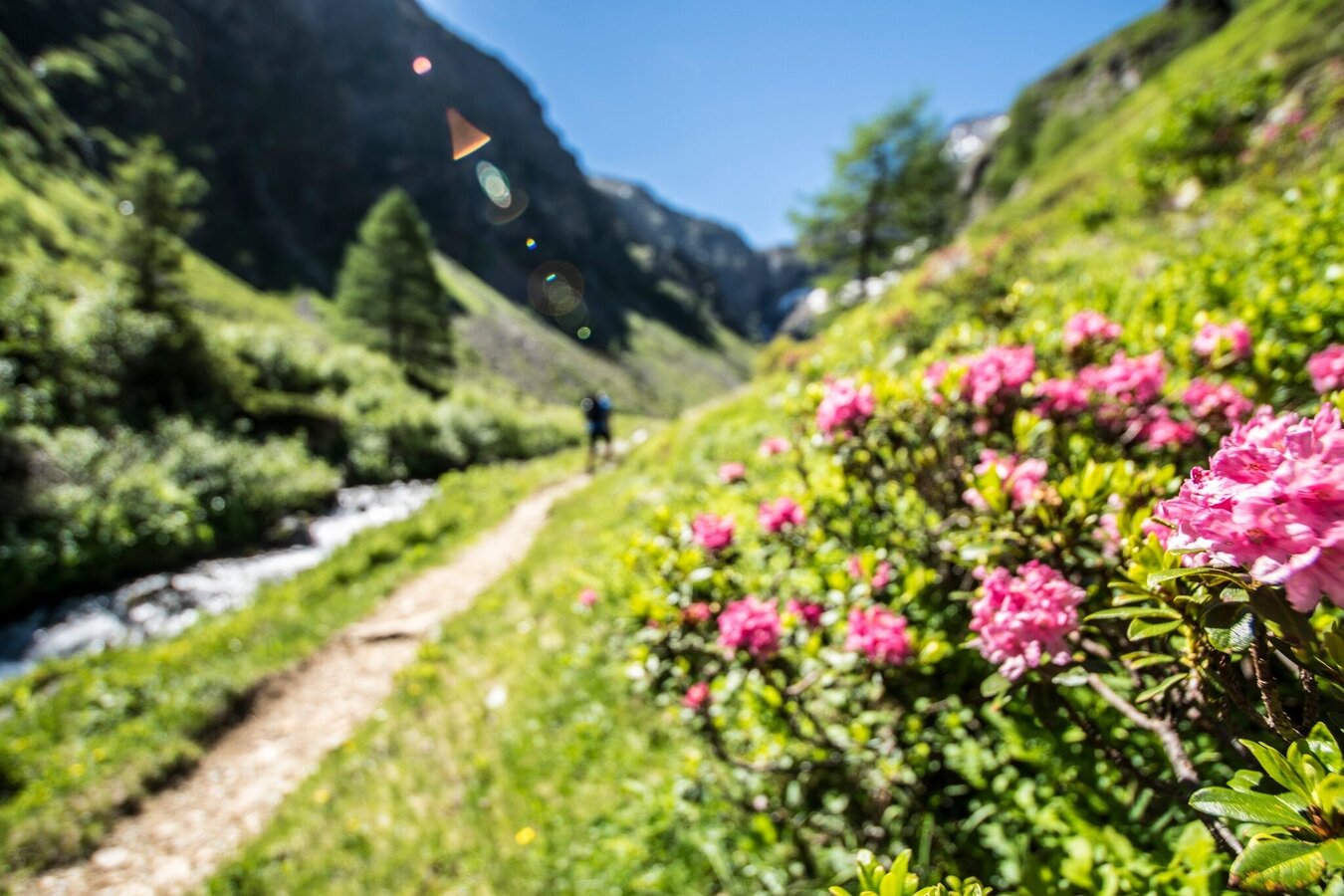
Hiking trail
Data:
Tour description
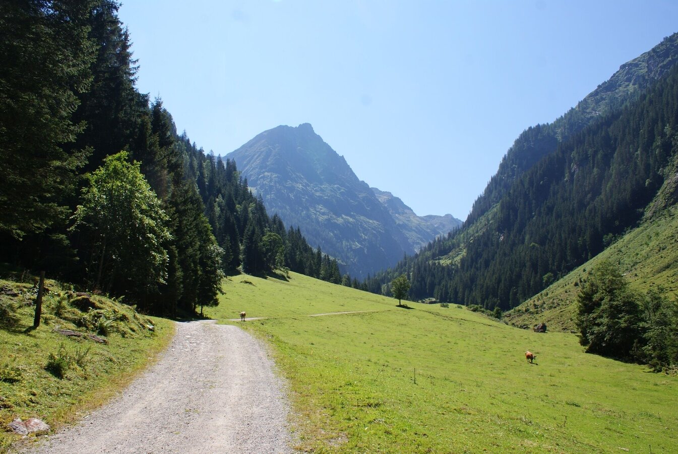
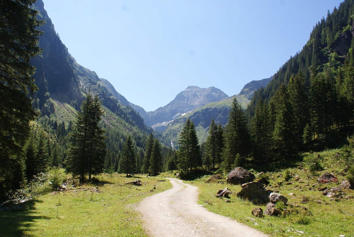
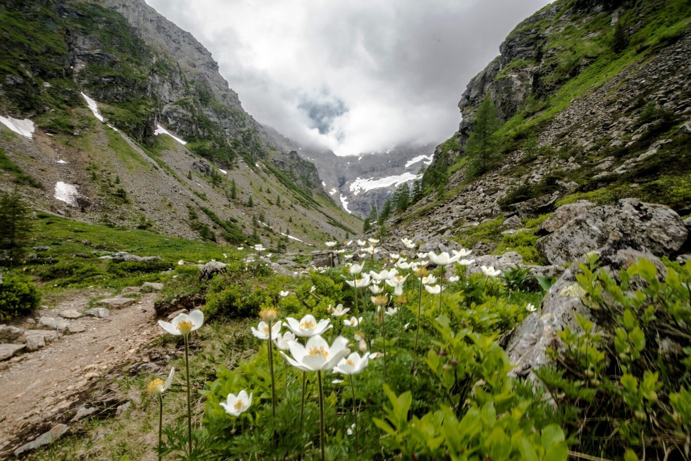
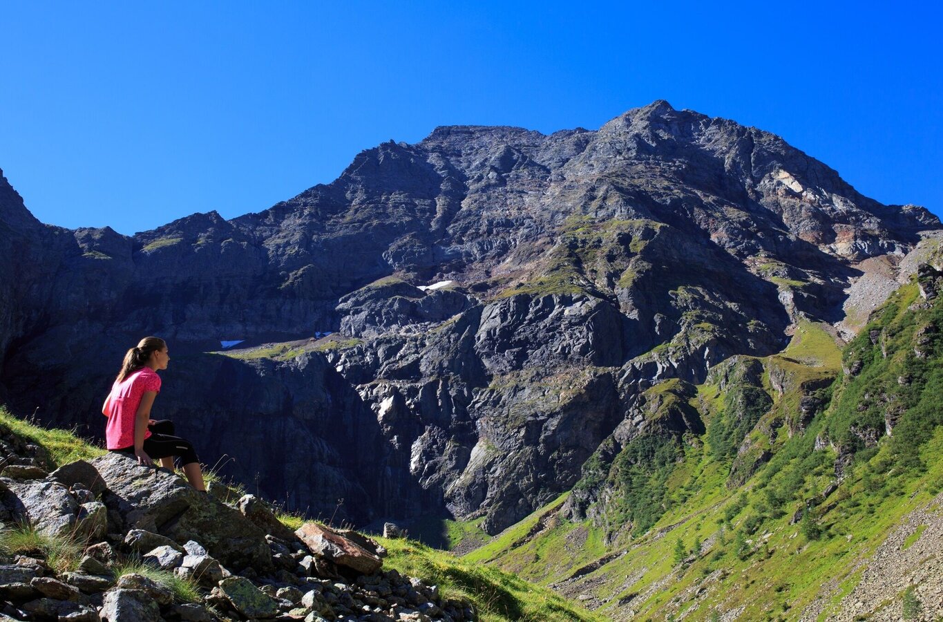
Gollinghütte chalet and Gollingwinkel are 2 hiking destinations that can be reached relatively easy. Situated at the foot of the impressive North face of Hochgolling, Gollingwinkel is a cirque similar to an amphitheatre. The trail ascends moderately through the Steinriesental valley - if you look up to the right and left, you know where it got its name.
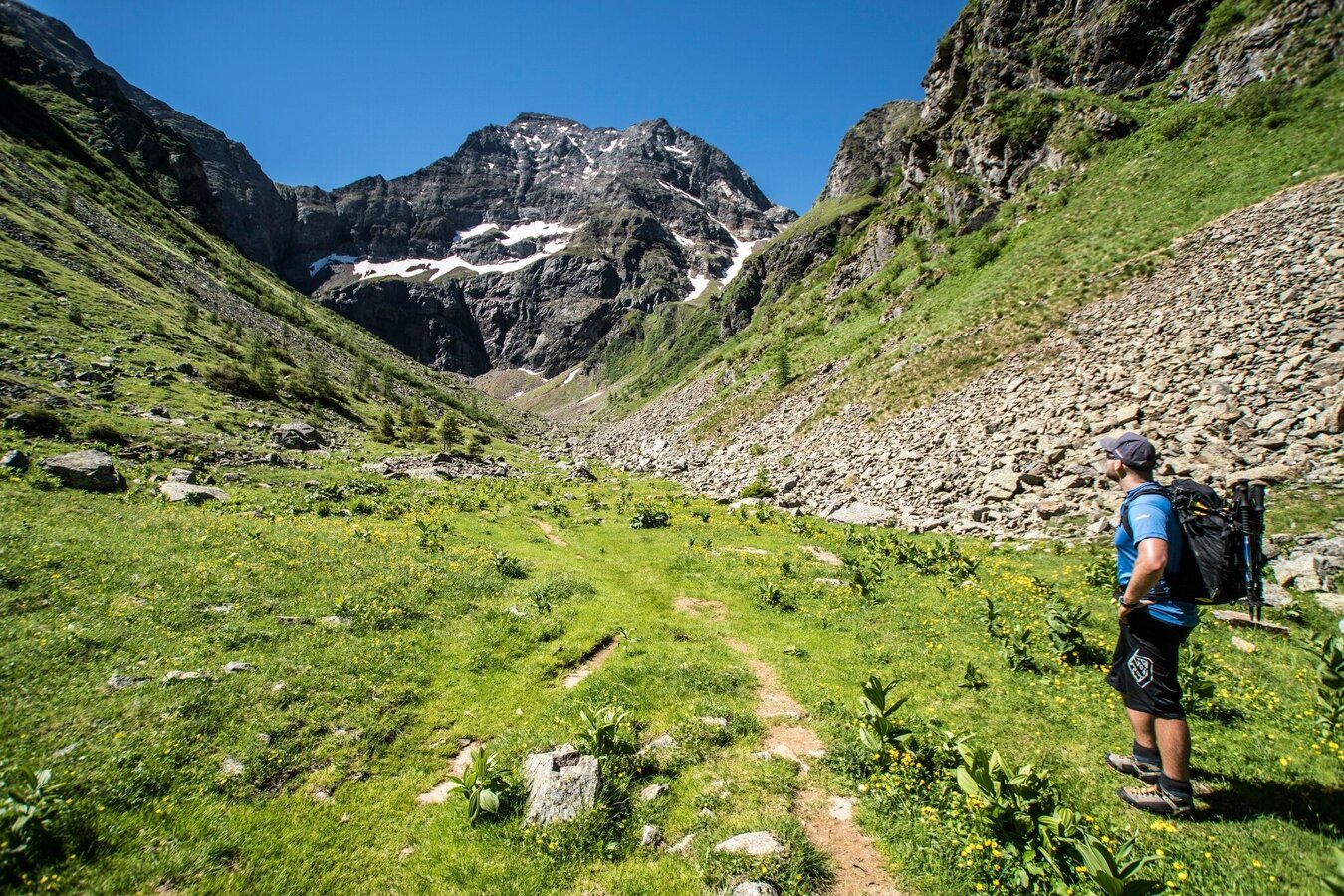
The tour
moderate
Starting point
Hiking trail head Seeleiten car park, Untertal
Destination
Gollingwinkel
Tour characteristics
Fitness (3/6)
Skills (2/6)
Information
Distance: 13.16 km
Duration:
4 h 33 min
Ascent: 700 m
Descent: 700 m
highest point: 1723 m
Best season
Jan
Feb
Mar
Apr
May
Jun
Jul
Aug
Sep
Oct
Nov
Dec
Map, elevation profile & further information
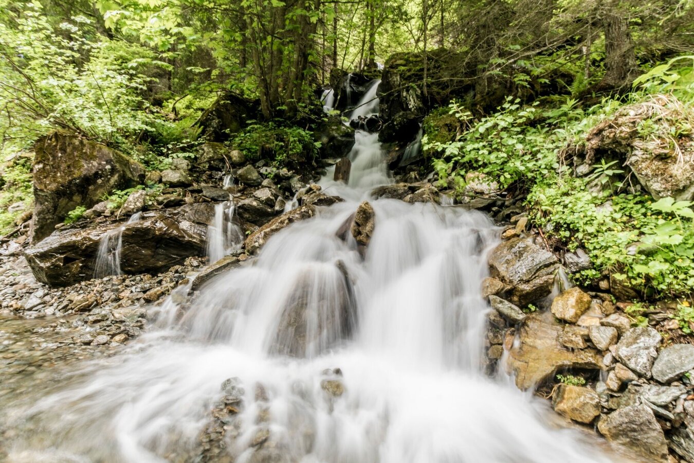
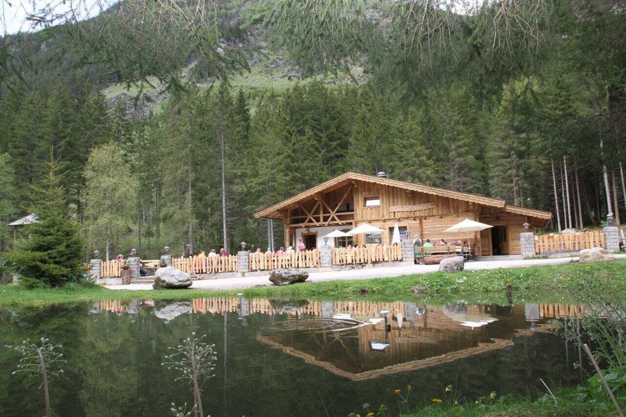
From Seeleiten car park you follow the forest lane towards "Untere Steinwendalm" chalets and to Laberer Boden. In the small pond at Laberer Boden you can see a nice reflection of Hochgolling summit. You continue along the forestry lane to the ropeway for material transport to Gollinghütte chalet. From here a trail ascends to Gollinghütte chalet near the waterfall. Gollinghütte is used for overnight stays by many hikers who are on their way along the Schladminger Tauern High Trail or make the "Klafferkessel" tour. From the chalet it takes you about 15 minutes to reach the romantic Gollingwinkel at the foot of the Hochgolling North face.
From Schladming take provincial highway L722 (Rohrmoosstraße road) to Rohrmoos and at the roundabout continue on provincial highway L723 (Tälerstraße road) towards Untertal. In the village of Untertal continue on "Untertalstraße" road to the valley head at Seeleiten car park.Parking is available at Seeleiten car park (parking fee!)
With the Planai buses from Schladming (Planet-Planai, Lendplatz) or Rohrmoos (Rohrmoos-Zentrum) to Untertal - bus stop "Riesachwasserfall".
- Buses of Planai-Hochwurzen-Bahnen: www.planaibus.at
Changes in weather patterns, quick falls in temperature, thunderstorms, wind, fog and snow are some of the dangers that can be encountered on a hiking tour. Hosts of alpine huts and mountain refuges have a lot of experience in the mountains and can give good advice about weather and the trails. Poor equipment, overestimation of one's own capabilities, carelessness, poor personal constitution and/or wrong judgement can lead to critical situations. In case of thunderstorms: avoid summits, ridges and steel ropes.
GPS data and orientation
Available GPS data - just like hiking maps - is only a guidance for orientation and can never depict a trail exactly with all its details. Especially at dangerous spots it is essential to judge on site how to proceed.
In an emergency please call:
- 140 - for Alpine emergencies (all over Austria)
- 112 - European GSM emergency number
Auf dem Rückweg empfiehlt sich ein Abstecher über die Große Riesachfallrunde zu den Riesach Wasserfällen.
Tourist information: www.schladming.comInformation about bus schedules: www.planaibus.at
- Hiking map ‘Hiking WEST’ available at the information offices in the region.
- Schladming hiking map, 1:25,000, available at the Schladming information office.
- Hiking map Schladming-Dachstein, 1:50,000, available at the information offices in the region.
- Hiking guide Schladming-Dachstein by Herbert Raffalt, available at the information offices in the region.


