

Panorama Trail 100 - stages north of the River Enns

Eisenbahnkreuzung Öblarn
Tour description
The tour
Map, elevation profile & further information
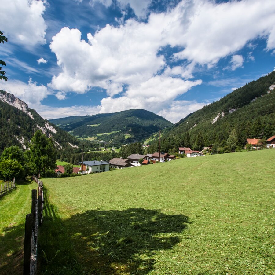
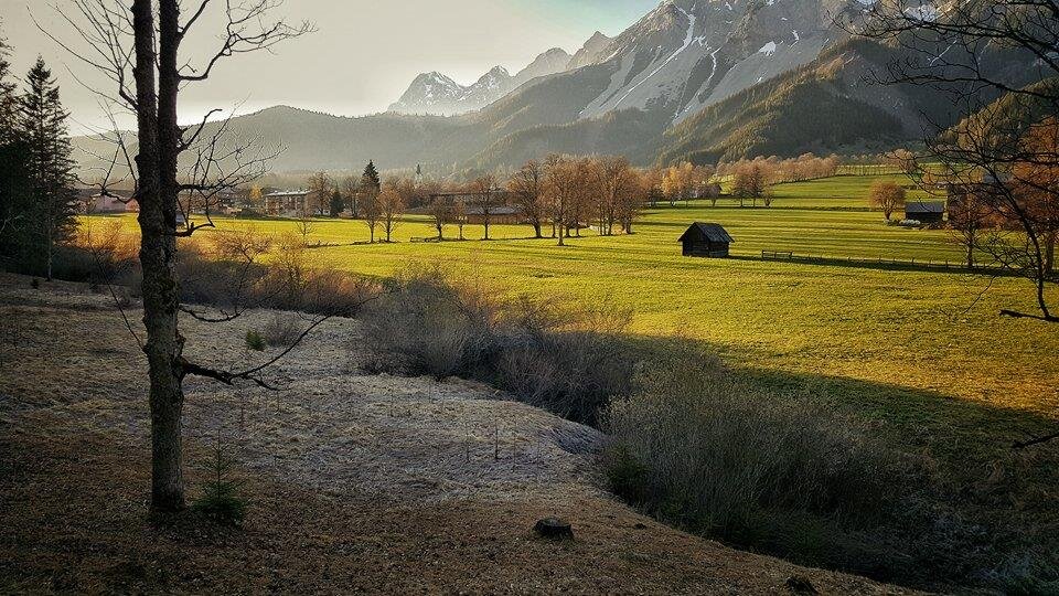
Stage 1 - easy - 5 hours - From Mandling via Vorberg to Ramsau
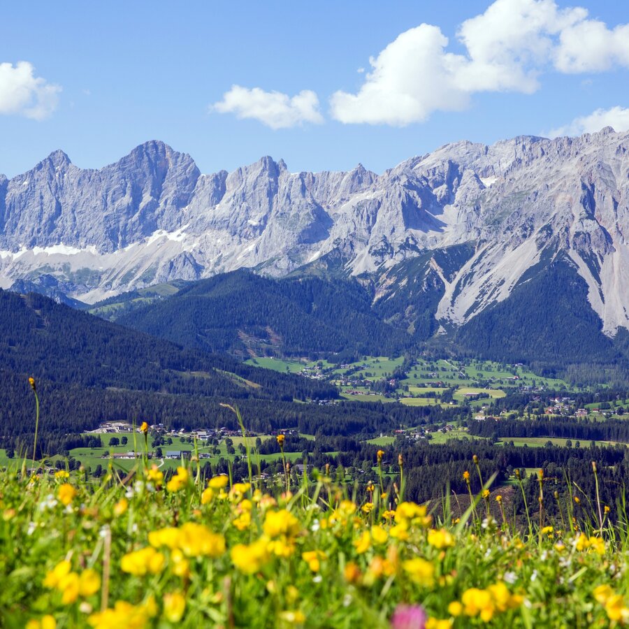
Setting out from Mandling, the first day of this trail begins on the right of the River Enns with an easier tour. We will hike in a relatively brief period of time from Mandling over the Vorberg and out onto the broad high plateau known as the Ramsau. We head east with views of the mighty rock walls of the Dachstein massif and the countless peaks of the Schladminger Tauern range.
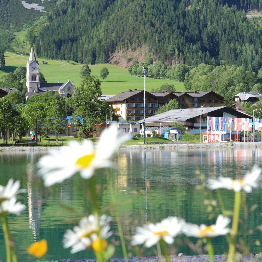
Stage 2 - easy - 5.5 to 6 hours - From Ramsau to Pruggern
After a day on the "philospher's path", today is one of leisurely walks and a day for the kids. And if this day's ration seems a little short, there are numerous attractive detours and variants available to you if you wish to extend your hike.
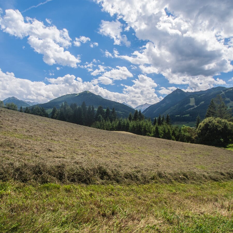
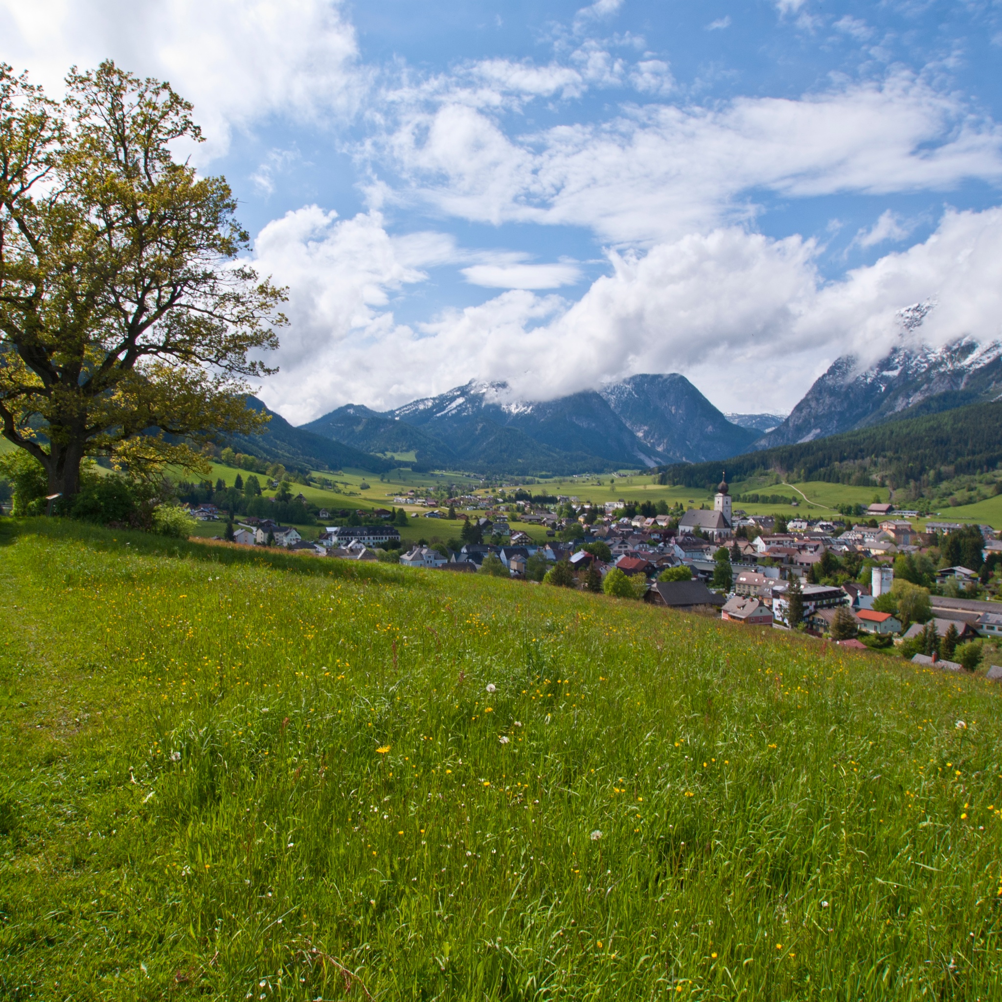
Stage 3 - challenging - 7 hours - Via Kunagrünberg to Gröbming and via Mitterberg to Öblarn
On the concluding day of the northern Panoramaweg, we experience three completely different stages : We follow a steep route leading over the Kunagrünberg into the broad valley bottom and Gröbming, circle the market town in a clockwise direction, then head out via the Mitterberg and down to Öblarn.
Note: On this stage, too, of course, there are numerous variants to choose from.
By Train: Regional train to Mandling or express train to Schladming where you change to the regional train to Mandling.Information and schedules at www.oebb.at
Changes in weather patterns, quick falls in temperature, thunderstorms, wind, fog and snow are some of the dangers that can be encountered on a hiking tour. Hosts of alpine huts and mountain refuges have a lot of experience in the mountains and can give good advice about weather and the trails. Poor equipment, overestimation of one's own capabilities, carelessness, poor personal constitution and/or wrong judgement can lead to critical situations. In case of thunderstorms: avoid summits, ridges and steel ropes.
GPS data and orienteering
Available GPS data - just like hiking maps - is only a guidance for orientation and can never depict a trail exactly with all its details. Especially at dangerous spots it is essential to judge on site how to proceed.
In an emergency please call:
- 140 - for Alpine emergencies (all over Austria)
- 112 - European GSM emergency number
Information about bus schedules: www.postbus.at, www.rvb.at oder www.planaibus.at
- Hiking map ‘Hiking WEST’ available at the information offices in the region.
- Schladming hiking map, 1:25,000, available at the Schladming information office.
- Hiking map Schladming-Dachstein, 1:50,000, available at the information offices in the region.
- Hiking guide Schladming-Dachstein by Herbert Raffalt, available at the information offices in the region.


