

Miners' Trail - Short Variant via Johannahöhe
Tour description
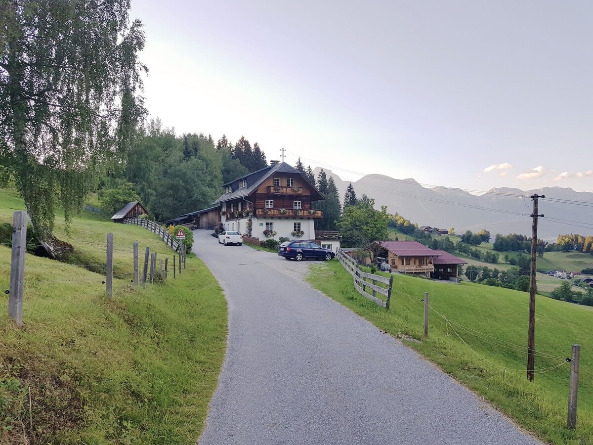
Short alternative to the Miners Trail to Hopfriesen. This tour takes you half-way to Obertal and loops back to Rohrmoos via a nice trail through the forest.
- Characteristics:
alpine pasture
- Restaurants:
Rohrmooser Erlebniswelt, ARX Guesthouse & Restaurant
- POIs:
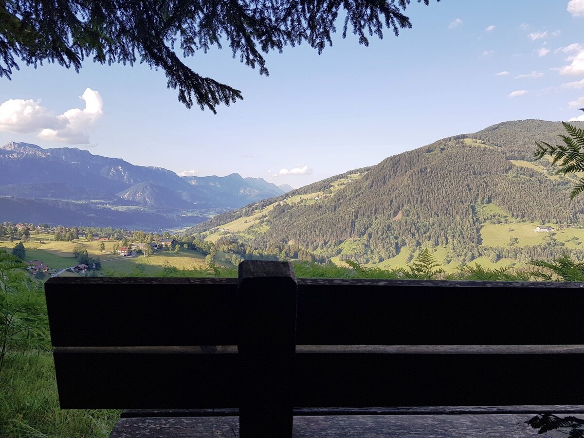
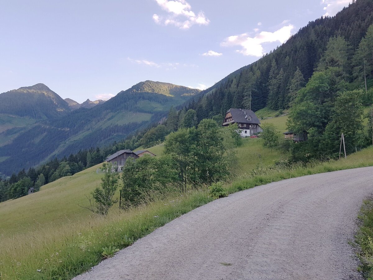
Johanna Höhe with beautiful view to the Obertal
- Alternative:
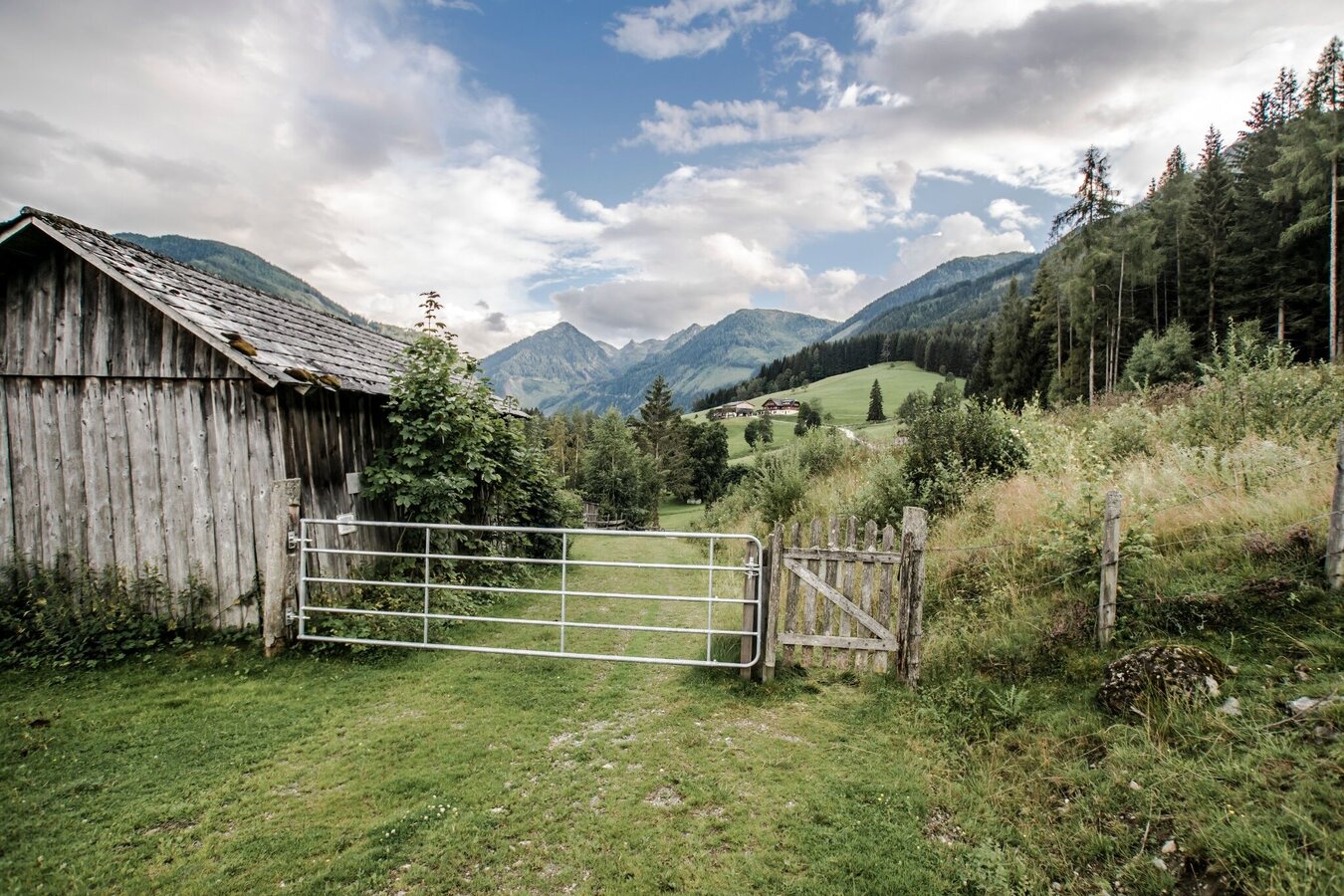
A somewhat longer (approx. +45 min.) variant of the tour is possible via Ahornweg road, the forestry lane Royer Ötz and the Schlapfer farm.
The tour
Map, elevation profile & further information
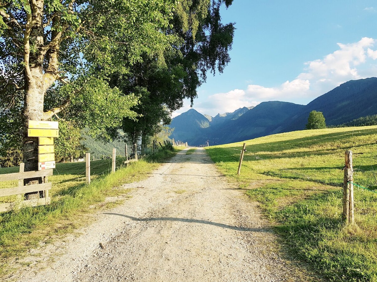
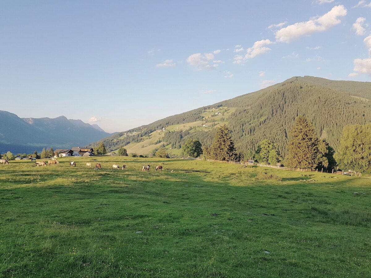
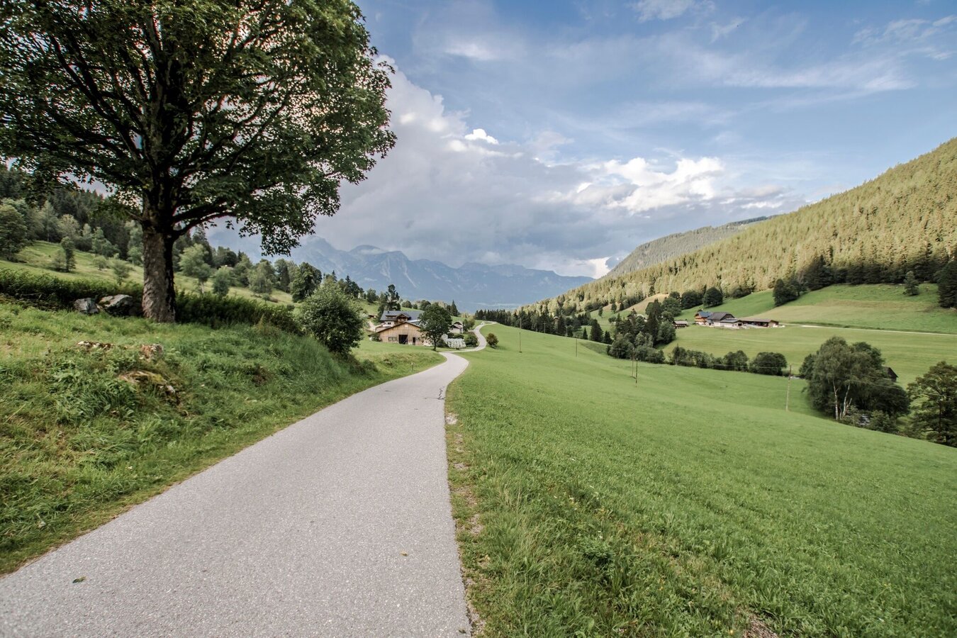
From the centre of Rohrmoos, walk uphill along the pavement for approx. 300 m until the Knappenweg branches off to the left. Just a few metres further on at the Schußbühel, you feel as if you have been transported to a different landscape: a wide alpine pasture area opens up to the south and the meadow path leads through the middle of the lush pastures of the Rohrmooser Frei.
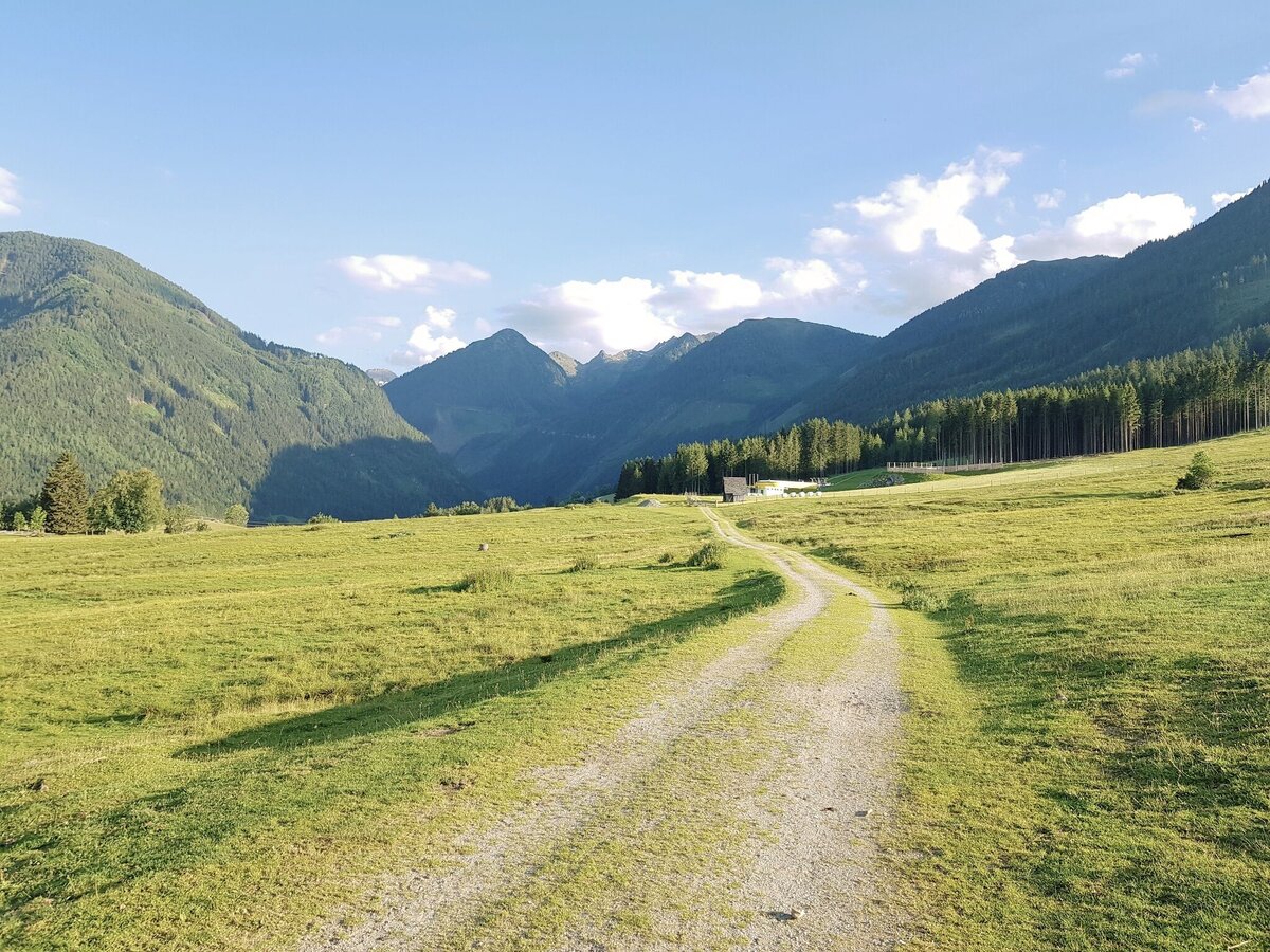
As you walk gently downhill towards the Obertal valley, you should enjoy the beautiful views of both the Untertal and Obertal valleys. At the vlg. Sonnleitner estate, you reach the Rohrmoos-Südweg/Knappenweg crossroads and hike uphill along the road to the vlg. Pocher where you reach the Johannahöhe and the Schwammerlweg.
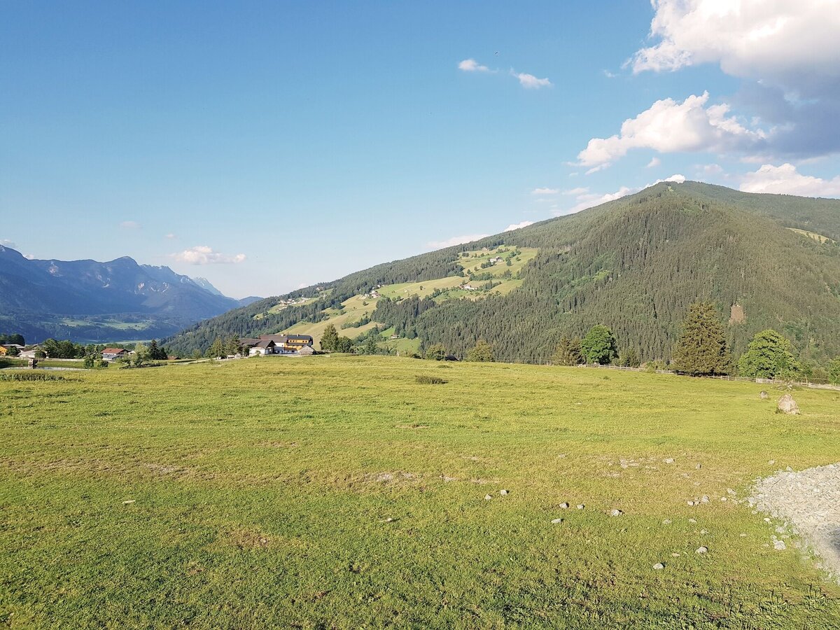
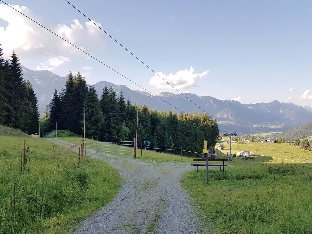
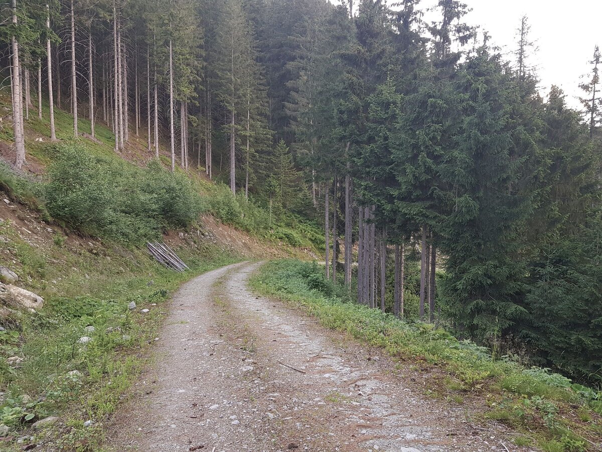
The ascent to Johannahöhe leads a short distance across a meadow quite steeply uphill. After another 100 metres on a forest path, you reach the beautiful forest path with the start of the very beautiful Schwammerlweg trail. The forest path then leads slightly downhill in 20 to 25 minutes back to Rohrmoos.
- Buses of Planai-Hochwurzen-Bahnen: www.planaibus.at
Changes in weather patterns, quick falls in temperature, thunderstorms, wind, fog and snow are some of the dangers that can be encountered on a hiking tour. Hosts of alpine huts and mountain refuges have a lot of experience in the mountains and can give good advice about weather and the trails. Poor equipment, overestimation of one's own capabilities, carelessness, poor personal constitution and/or wrong judgement can lead to critical situations. In case of thunderstorms: avoid summits, ridges and steel ropes.
GPS data and orienteering
Available GPS data - just like hiking maps - is only a guidance for orientation and can never depict a trail exactly with all its details. Especially at dangerous spots it is essential to judge on site how to proceed.
In an emergency please call:
- 140 - for Alpine emergencies (all over Austria)
- 112 - European GSM emergency number
Tourist information: www.schladming.com
Information about bus schedules: www.planaibus.at
- Hiking map ‘Hiking WEST’ available at the information offices in the region.
- Schladming hiking map, 1:25,000, available at the Schladming information office.
- Hiking map Schladming-Dachstein, 1:50,000, available at the information offices in the region.
- Hiking guide Schladming-Dachstein by Herbert Raffalt, available at the information offices in the region.


