

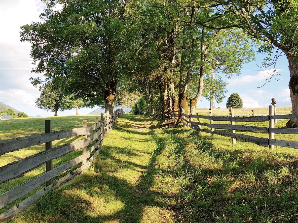
Meadow Trail Rohrmoos
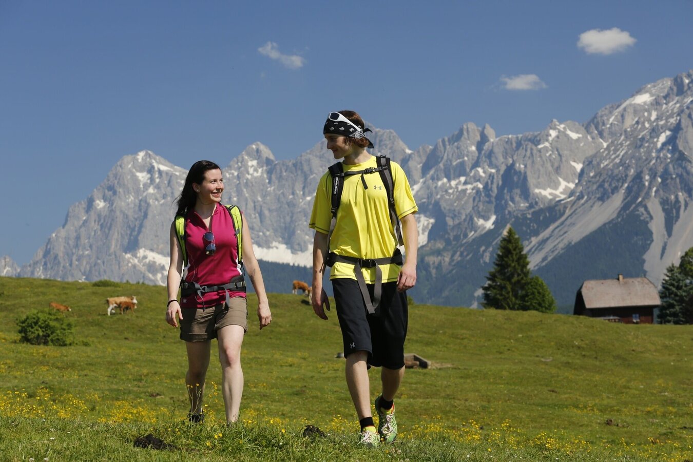
Tour description
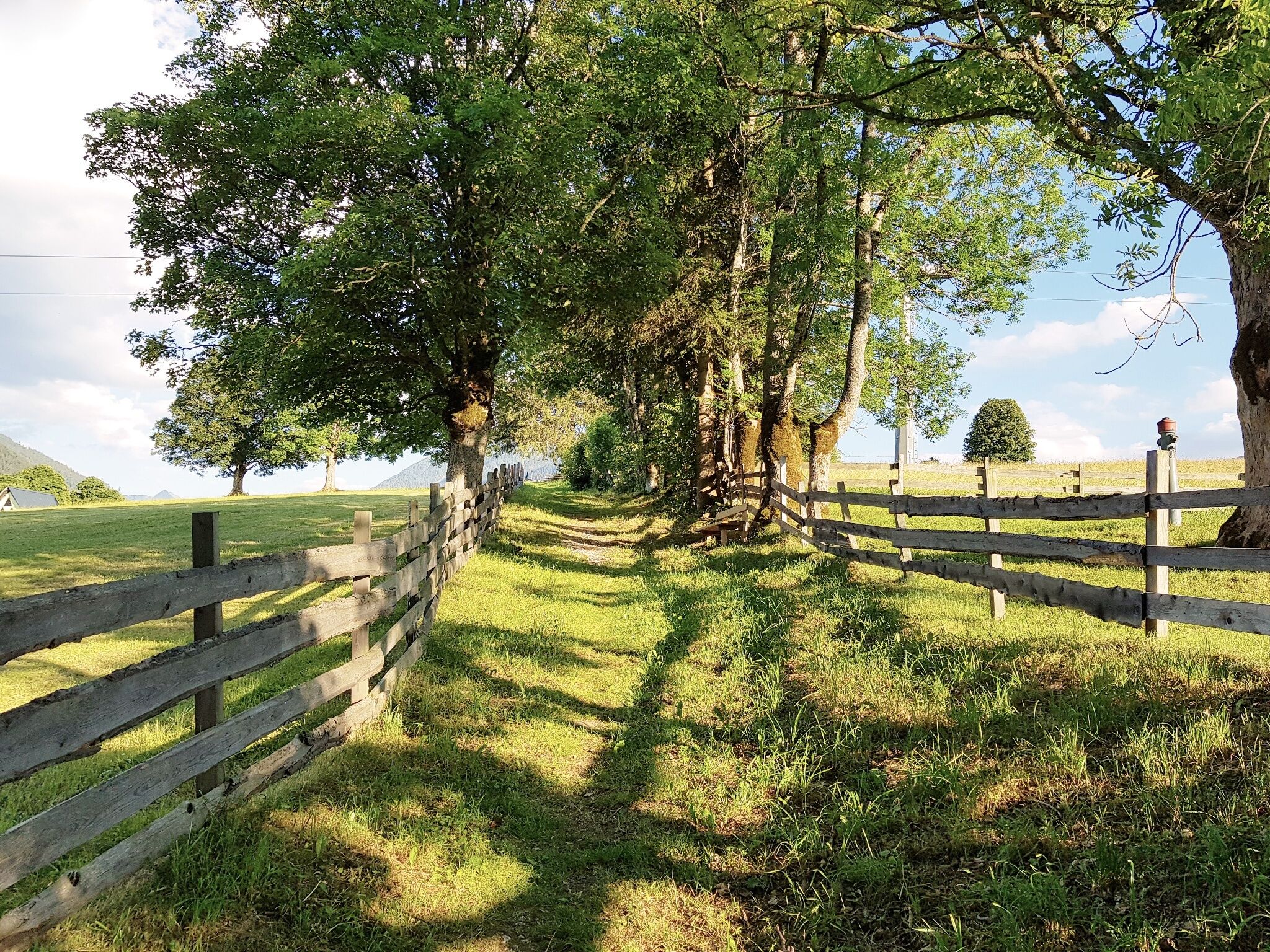
The tour
Map, elevation profile & further information
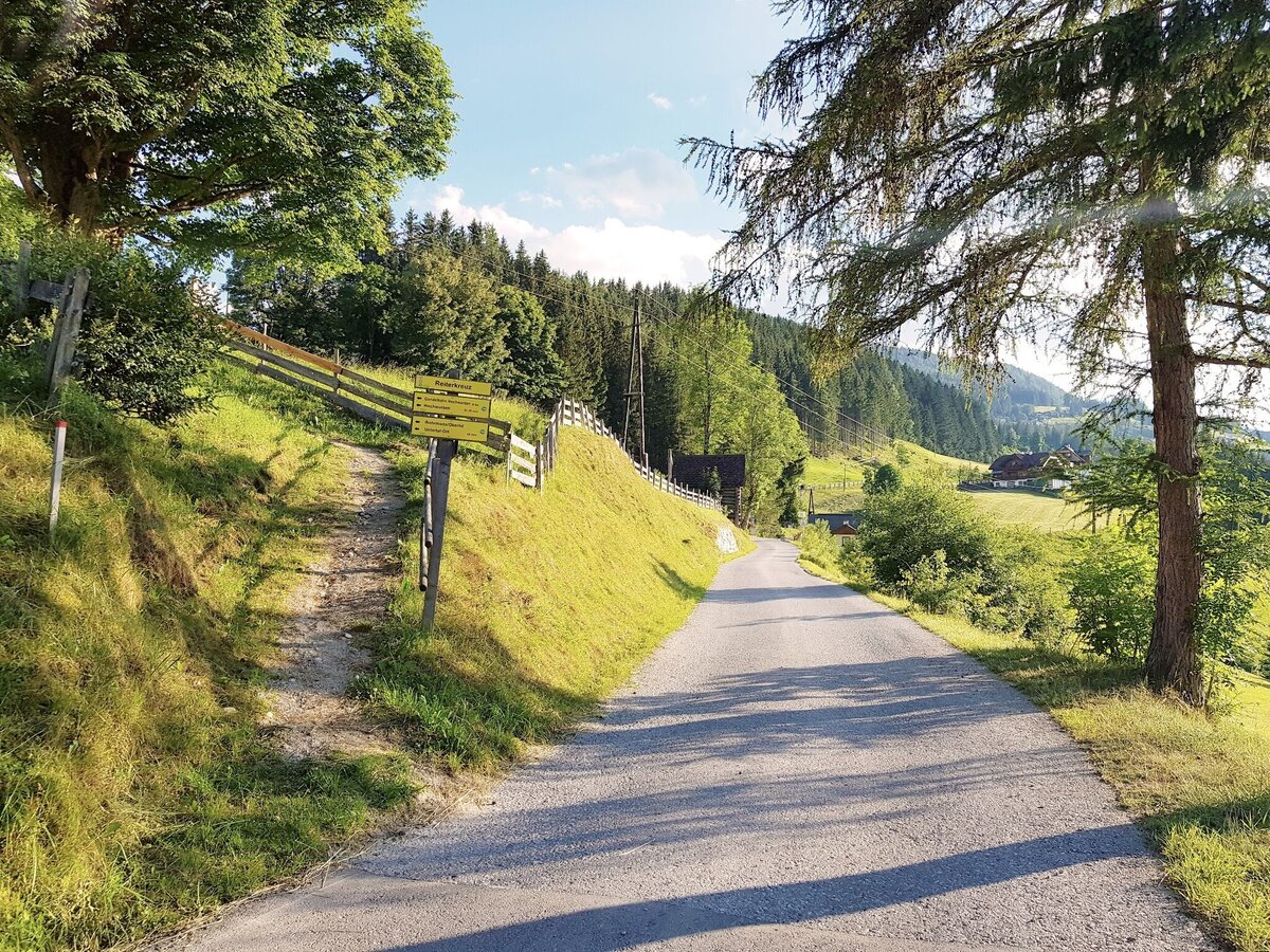
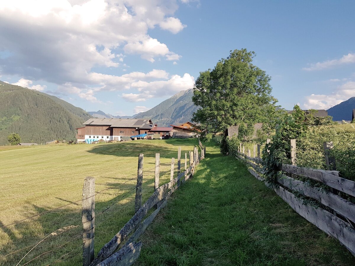
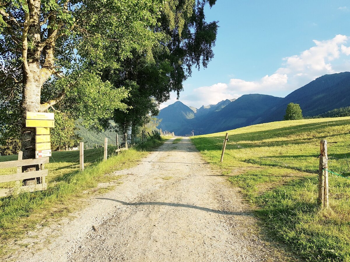
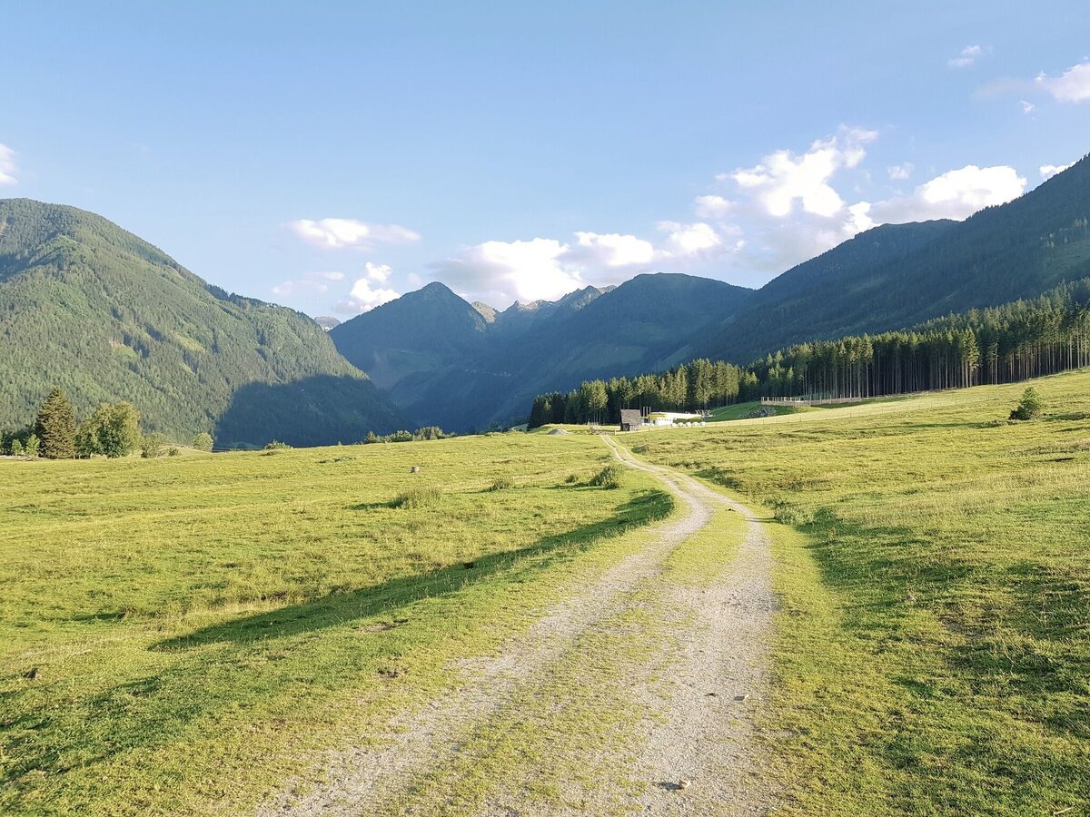
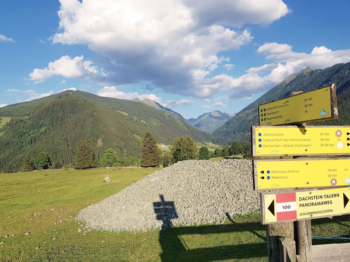
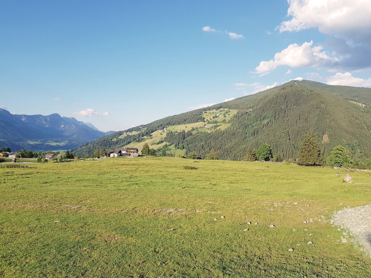
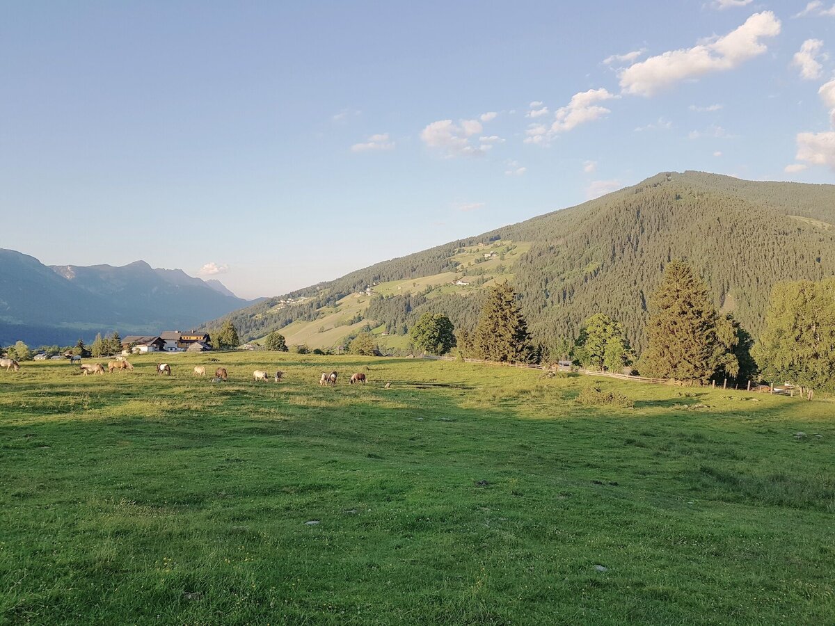
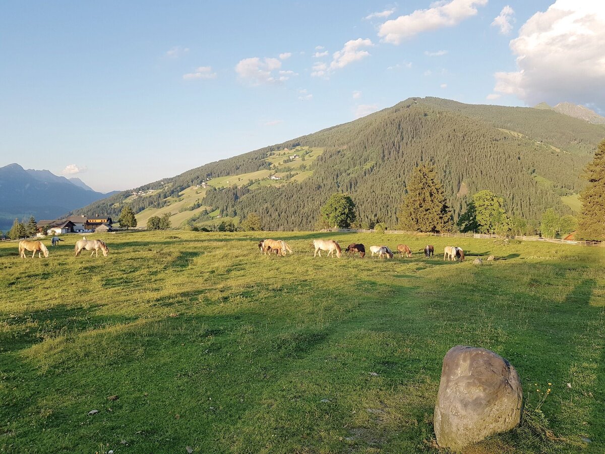
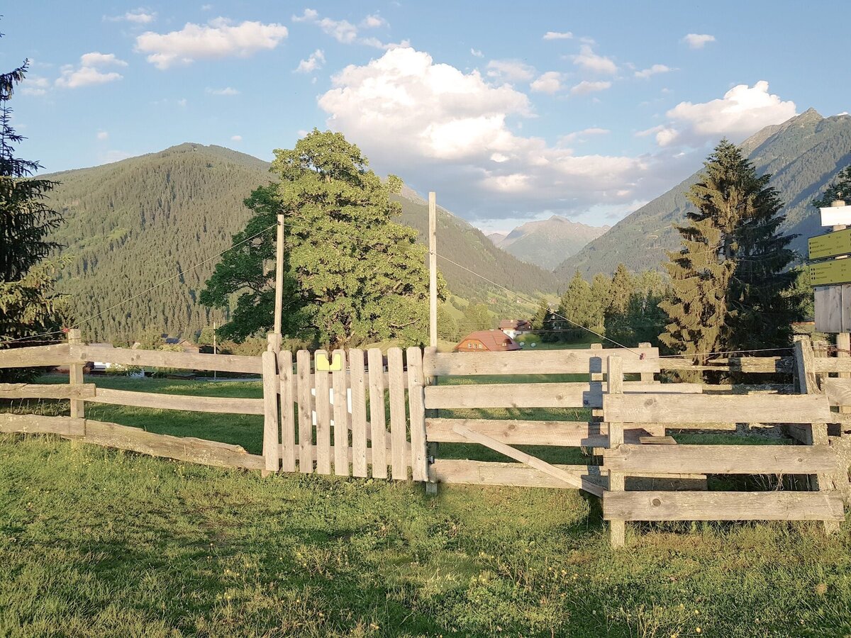
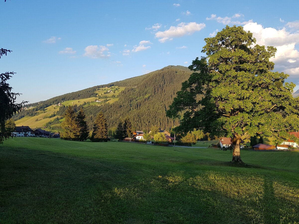
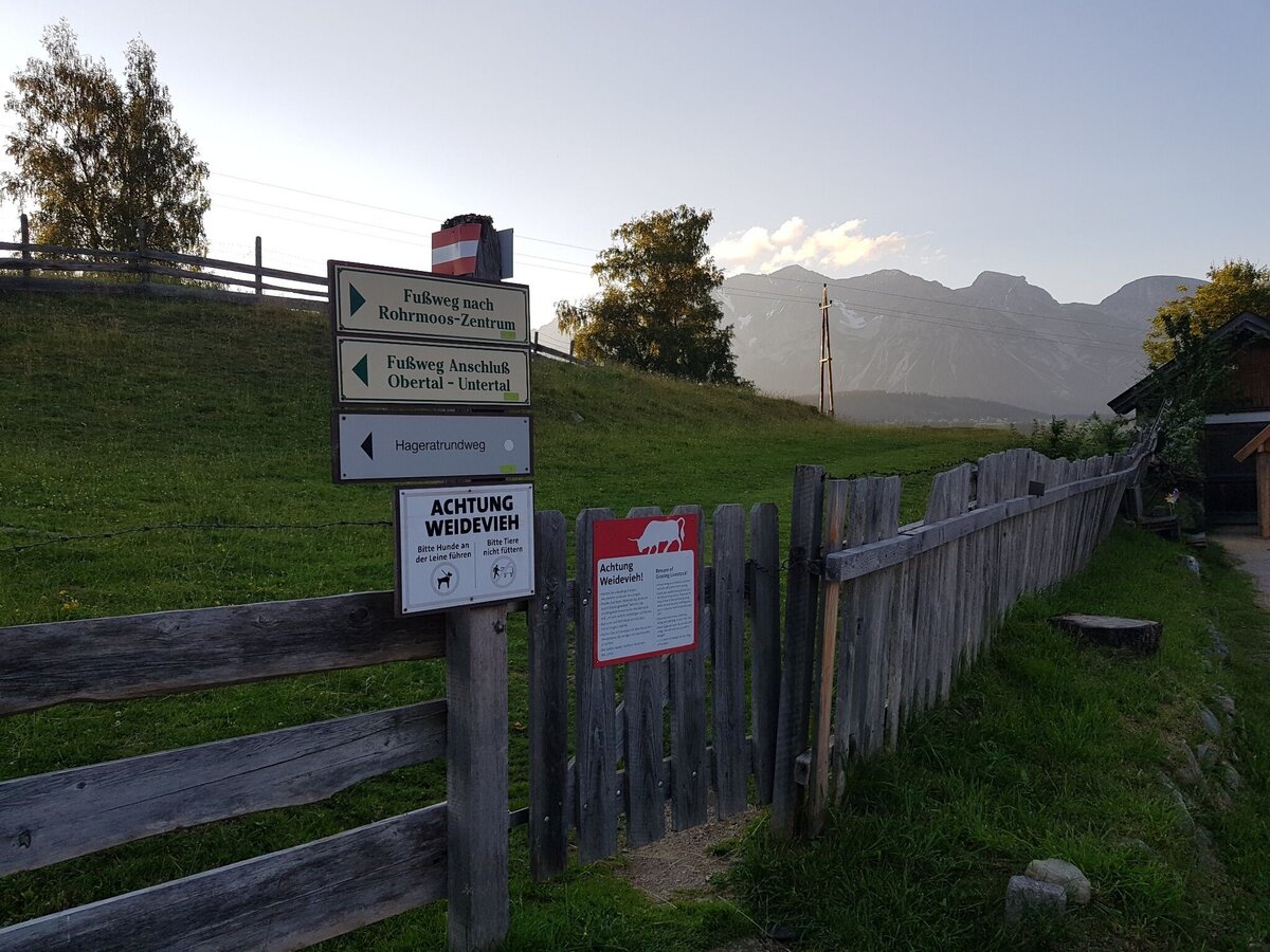
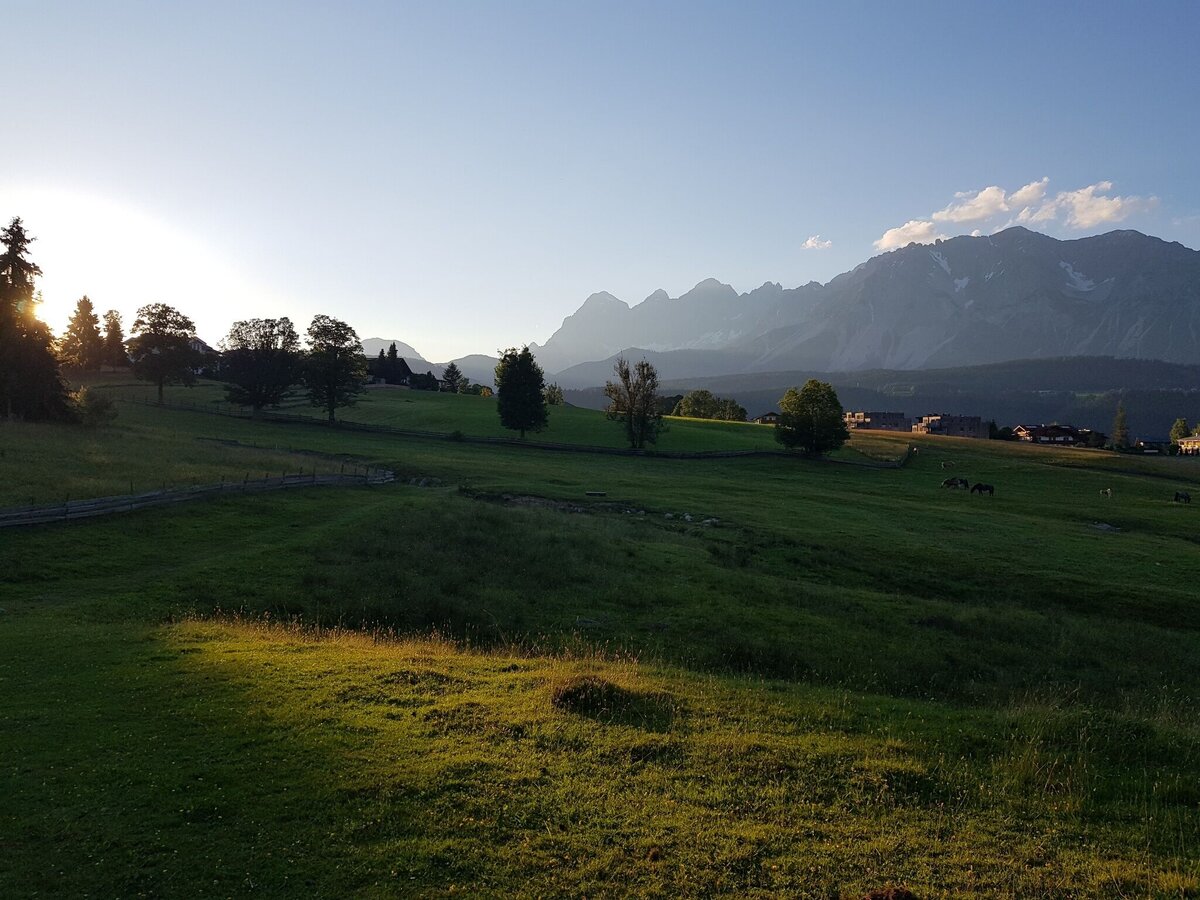
You start your walk towards West via Reiterkreuzweg road until you reach the trail junction "Reiterkreuz" after about 10 minutes. Here you make a left towards "Schußbühel" and walk on to Rohrmoosstraße road. You walk across the road to "Schußbühel" and then continue on across the meadows of "Rohrmooser Frei" to the corner of the second fence (near the valley terminal of Obertalbahn lift). Make a left at the fence corner and walk downhill to the trail junction "Rohrmoos-Süd". Just before you reach the road, make a left at the corner and walk to restaurant Braunhofer's. Passing bei the "Braunhofteich" pond you then make a right and walk the meadow trail downhill to the kindergarden. Here you make a left and walk back to the village center of Rohrmoos.
- Buses of Planai-Hochwurzen-Bahnen: www.planaibus.at
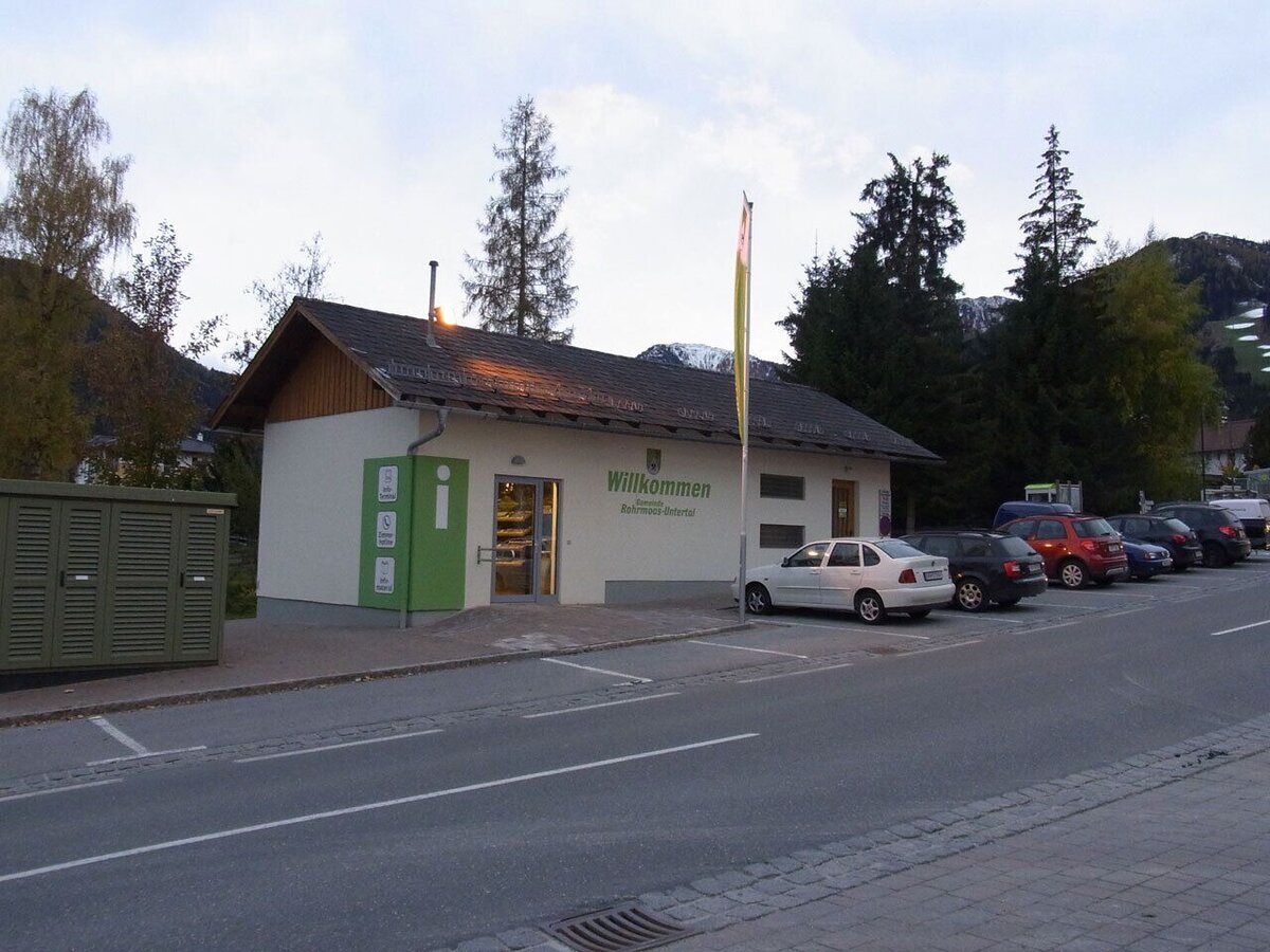
Information about bus schedules: www.planaibus.at
360° drone images
Get yourself an overview with our 360° drone images:
- View over the Western part of Rohrmoos: https://vonoben.schladming-dachstein.at/sommer/index.php?S=61
- Hiking map ‘Hiking WEST’ available at the information offices in the region.
- Schladming hiking map, 1:25,000, available at the Schladming information office.
- Hiking map Schladming-Dachstein, 1:50,000, available at the information offices in the region.
- Hiking guide Schladming-Dachstein by Herbert Raffalt, available at the information offices in the region.


