

Gröbminger Land
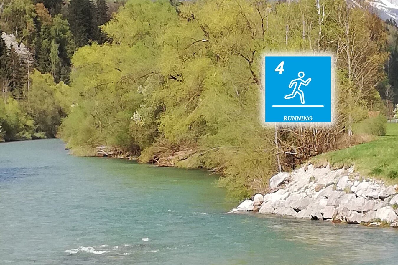
Ennswiesn-Trail (Number 4)
Trailrunning
Data:
Gröbming: Umleitung Spitalsgraben - Route G8
The G8 route of the Gröbminger Movement Arena through the Spitalsgraben is currently closed.
Tour description
A round with little ascent and hardly any technical difficulties. A 'pleasure round for everyone. Starting point is Gröbming. The trail leads through the "Spitalgraben" down to the Ennsboden. Along the Enns in western direction you reach the turning point in Pruggern and on the other side in eastern direction to Moosheim and Tunzendorf. From there you cross over the Enns and take the path back over the Spitalgraben.
The tour
easy
Starting and end point
Gröbming - Parkplatz gegenüber der Polizei
Tour characteristics
Fitness (2/6)
Information
Distance: 10.7 km
Duration:
1 h
Ascent: 210 m
Descent: 210 m
highest point: 769 m
Best season
Jan
Feb
Mar
Apr
May
Jun
Jul
Aug
Sep
Oct
Nov
Dec
Map, elevation profile & further information
A round with little ascent and hardly any technical difficulties. A 'pleasure round for everyone. Starting point is Gröbming. The trail leads through the "Spitalgraben" down to the Ennsboden. Along the Enns in western direction you reach the turning point in Pruggern and on the other side in eastern direction to Moosheim and Tunzendorf. From there you cross over the Enns and take the path back over the Spitalgraben.
From Salzburg: A 10 Tauernautobahn to Altenmarkt/Pongau junction - B 320 Ennstalbundesstraße - Gröbming
From Graz: A 9 Phyrn Motorway to St. Michael junction - Liezen B 320 to Gröbming
From Linz: A 9 Phyrnautobahn to Liezen (Bosrucktunnel MAUT!! or Phyrnpass) - B 320 to Gröbming
public parking places towards the police-station in Gröbming
suitable footwear, weatherproof clothing


