

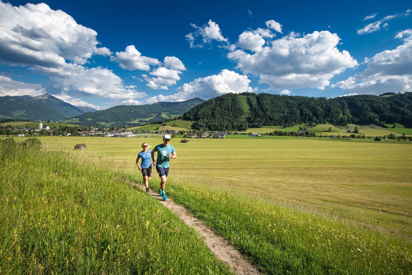
Gröbminger Land
Krahbergrunde
Nordic walking
Data:
Tour description
This shorter and leisurely loop also starts in the centre of Grömbing. The route heads slightly uphill to the east via the Thoma farmstead to the Krahberg settlement before returning to Grömbming along the Ennstal main road.
The tour
moderate
Starting and end point
Gröbming town centre
Tour characteristics
Fitness (2/6)
Information
Distance: 4.8 km
Duration:
1 h 15 min
Ascent: 52 m
Descent: 52 m
highest point: 799 m
Best season
Jan
Feb
Mar
Apr
May
Jun
Jul
Aug
Sep
Oct
Nov
Dec
Map, elevation profile & further information
From Salzburg: A 10 Tauernautobahn to Altenmarkt/Pongau junction - B 320 Ennstalbundesstraße - Gröbming
From Graz: A 9 Phyrn Motorway to St. Michael junction - Liezen B 320 to Gröbming
From Linz: A 9 Phyrnautobahn to Liezen (Bosrucktunnel MAUT!! or Phyrnpass) - B 320 to Gröbming
suitable footwear, weatherproof clothing


