

Haus-Aich-Gössenberg
Au-Runde
Hiking trail
Data:
Tour description
Walkable way all year round, on asphalt und low-traffic roads that can be used at any time of the year. In winter the roads are cleared.
The tour
easy
Starting and end point
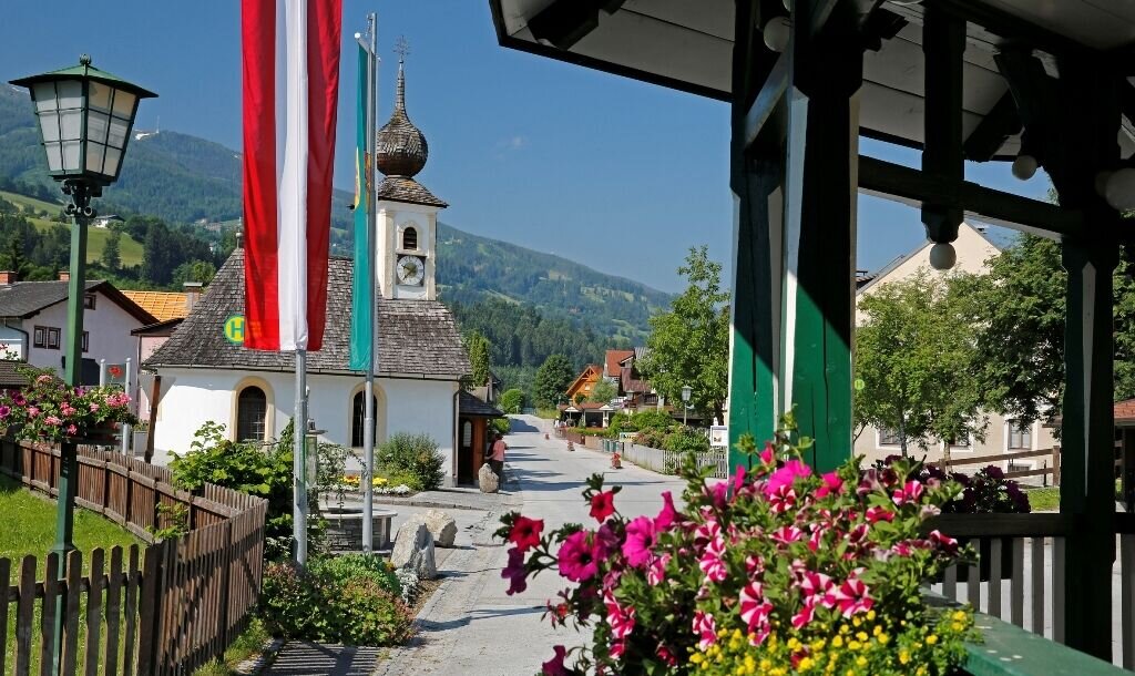
village square/Restaurant "Zum Grafenwirt" in Aich
Tour characteristics
Fitness (2/6)
Information
Distance: 4.94 km
Duration:
1 h 25 min
Ascent: 77 m
Descent: 77 m
highest point: 765 m
Best season
Jan
Feb
Mar
Apr
May
Jun
Jul
Aug
Sep
Oct
Nov
Dec
Map, elevation profile & further information
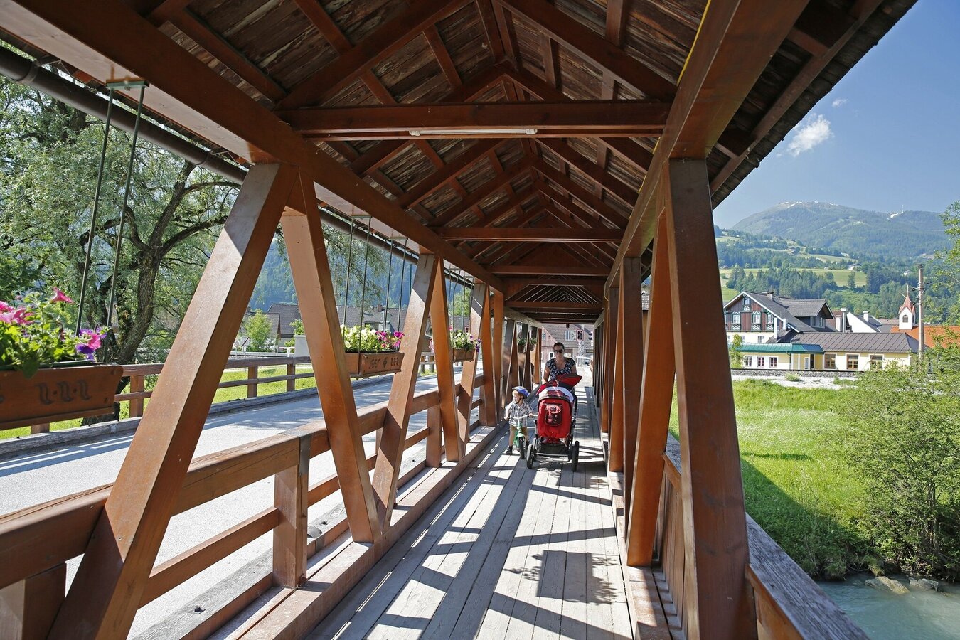
From the village square Aich go over the railroad crossing and then (still before the Enns bridge) immediately turn right. In eastern direction along the Enns into the so-called "Au". Continue to a wooden bridge over the Enns, cross it, go under the federal highway underpass and slightly uphill to the village of Assach. From there, return in a westerly direction to Aich.
Ennstalbundesstraße (B320) until AichVillage square / parking area next to the GrafenWirt.
Postbus (L900) - Exit: Aich or Aich Bundesstraße
- Sturdy shoes
- Rain protection
- Here are all the hiking maps and important brochures to download
Easy walk for the whole family, which you can also walk with a stroller.Tour at your own risk! No liability is accepted for any alpine dangers (weather, etc.) that may occur. Weather changes, rapid drops in temperature, thunderstorms, wind, fog and snow fields are objective dangers and require the correct behaviour on the way. In an emergency, please dial the following emergency numbers:
No. 140 - for alpine emergencies - Austria-wide
No. 112 - Euro emergency call GSM emergency call service
No. 140 - for alpine emergencies - Austria-wide
No. 112 - Euro emergency call GSM emergency call service


