Rohrmoos Tour
Tour description
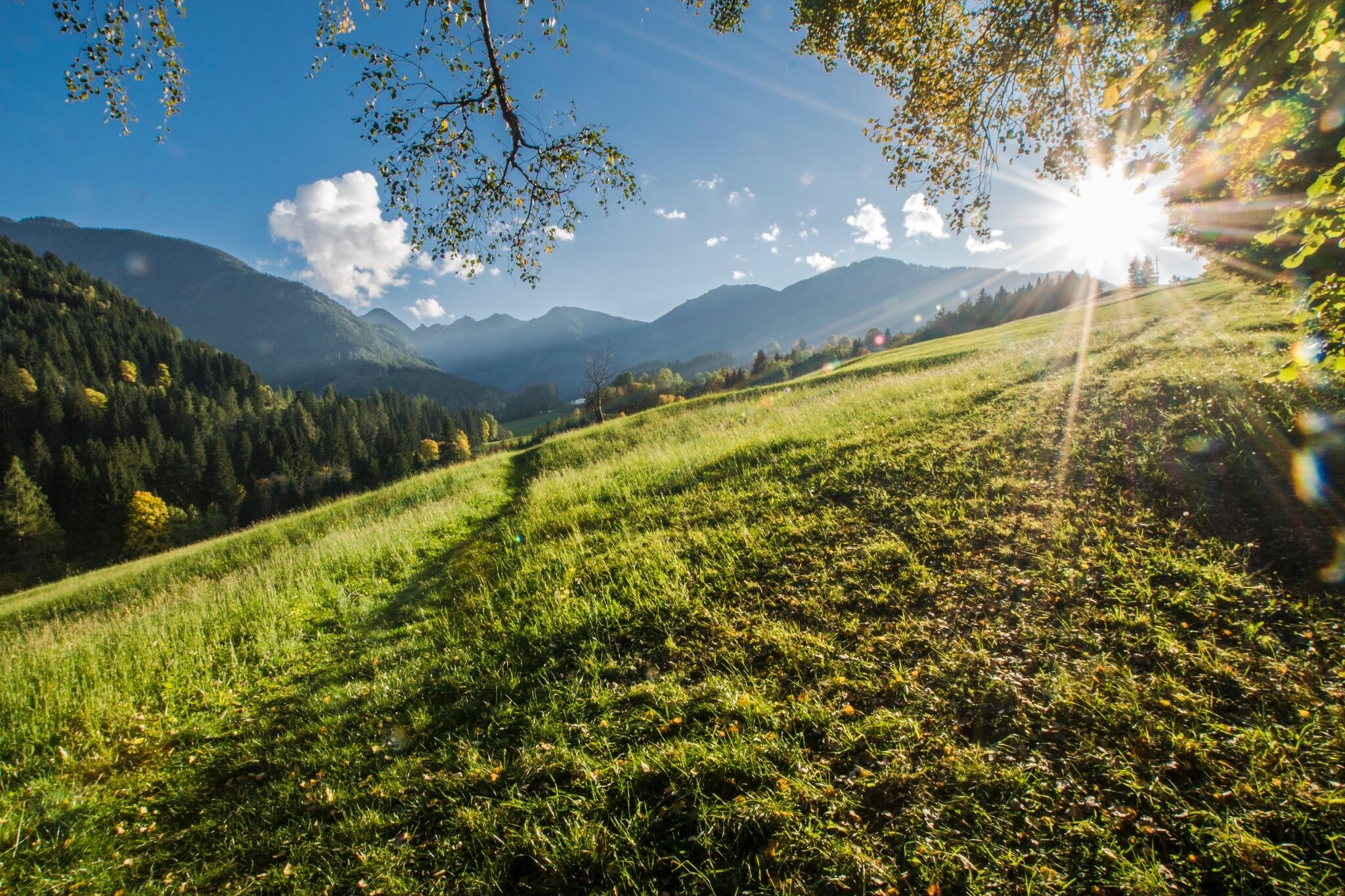
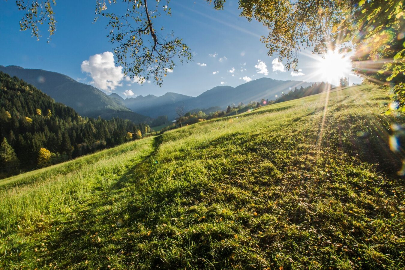
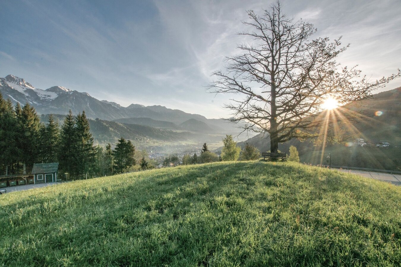
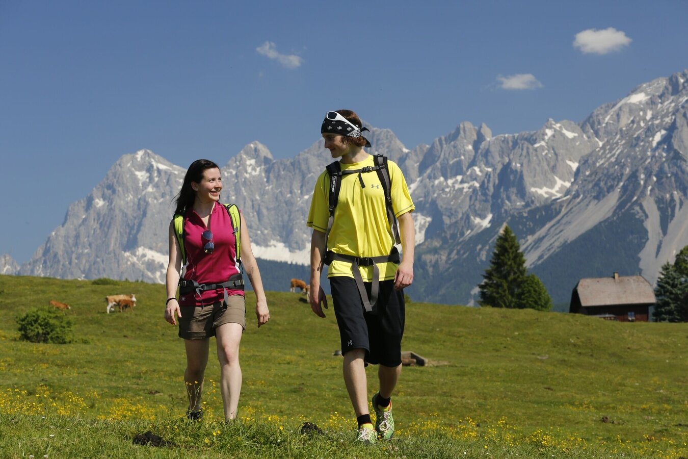
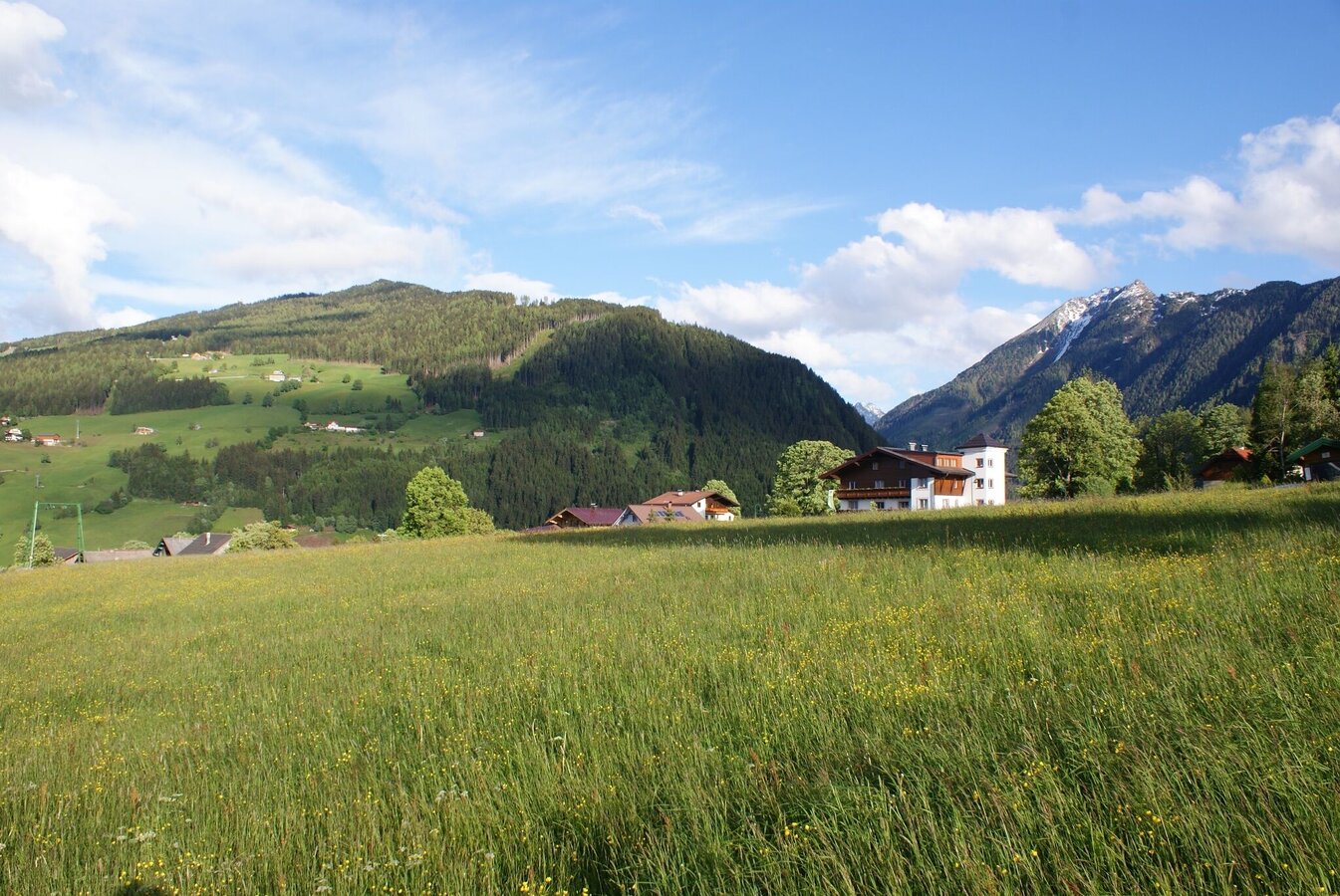
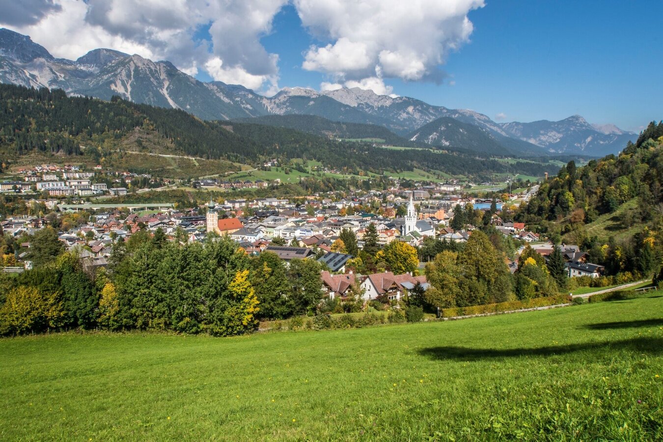
A tour through Rohrmoos means sauntering across alpine pastures, wending your way through forests and, in between, strolling a bit, too! The route runs along forest and meadow paths, with occasional paved footpaths. Along the route you have several opportunities for a refreshment stop: Landalm inn at the very beginning/end, directly in Untertal village. In the village of Rohrmoos Braunhofer inn, arx restaurant, Erlebniswelt with Dorfstöckl restaurant, and Pariente restaurant are inviting for a stop. Also, you can grab a snack at Kaufhaus Sieder grocery store in Rohrmoos village center.
The highlights along the route include the beautiful farm houses of Andenbacher and Holzbacher farms, the "Rohrmooser Frei" meadows, and the Upper Talbach trail - a beautiful meadow and forest trail - taking you back to the village of Untertal where you can get lost in the waters of Obertalbach and Untertalbach creeks joining to form the Talbach river from thereon.
The tour
Map, elevation profile & further information
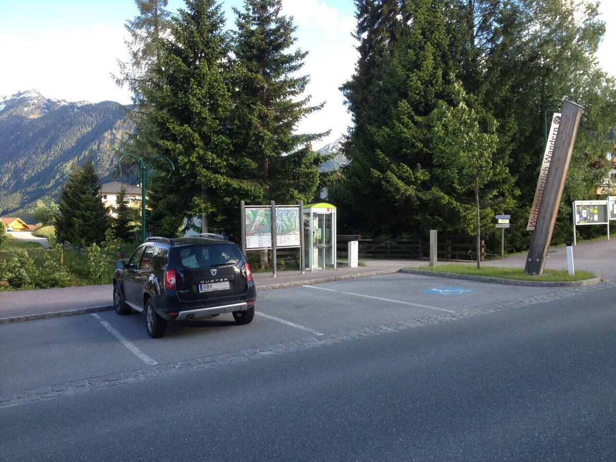
From the trail head walk towards restaurant Landalm and make a right onto "Fuchslochweg" road. Follow the yellow trail signs towards Obertal and you will reach Ahornweg road, on which you continue your walk to the Andenbacher farm. Along path No. 773 to the Knappenweg, which you follow to the Rohrmooser Frei and the Schussbühel – an alpine grazing area in the middle of Rohrmoos.
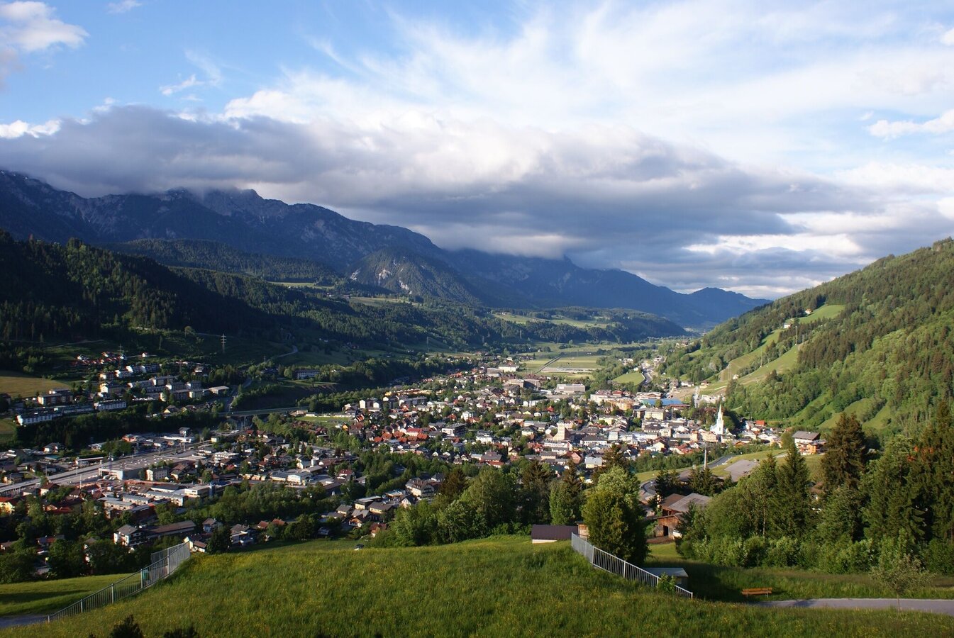
A little further downhill on a footpath taking you to the centre of Rohrmoos itself. Here you'll find a small supermarket (Kaufhaus Sieder) and a couple of refreshment stops. On the opposite side of the street, continue along Mosergasse to Hotel Schütterhof. Downhill now to the hairpin where Hintereggweg road turns off. Follow it for about 5 minutes as far as the Oberer Talbachweg. Now across green meadows, you again walk uphill back to Untertal and your original starting point.
- Buses of Planai-Hochwurzen-Bahnen: www.planaibus.at
Take caution along the Upper Talbach trail - partially the slopes beneath the trail fall steeply into Talbachklamm gorge.
Changes in weather patterns, quick falls in temperature, thunderstorms, wind, fog and snow are some of the dangers that can be encountered on a hiking tour. Hosts of alpine huts and mountain refuges have a lot of experience in the mountains and can give good advice about weather and the trails. Poor equipment, overestimation of one's own capabilities, carelessness, poor personal constitution and/or wrong judgement can lead to critical situations. In case of thunderstorms: avoid summits, ridges and steel ropes.
GPS data and orienteering
Available GPS data - just like hiking maps - is only a guidance for orientation and can never depict a trail exactly with all its details. Especially at dangerous spots it is essential to judge on site how to proceed.
In an emergency please call:
- 140 - for Alpine emergencies (all over Austria)
- 112 - European GSM emergency number
Tourist information: www.schladming.com
Information about bus schedules: www.planaibus.at
- Hiking map ‘Hiking WEST’ available at the information offices in the region.
- Schladming hiking map, 1:25,000, available at the Schladming information office.
- Hiking map Schladming-Dachstein, 1:50,000, available at the information offices in the region.
- Hiking guide Schladming-Dachstein by Herbert Raffalt, available at the information offices in the region.