

Waldhorn - 2,702 m

Tour description
The summit of Waldhorn is at an altitude of 2,702 above Adriatic sea-leval and thus one of the highest peaks in the Niedere Tauern mountain range. Moreover the mountain is marked by its massive characteristics and therefore one of the most impressive in the Schladminger Tauern range. The tour is definitely one for passionate hikers and those with experience in Alpine terrain. If you don't have experience in such areas you might want to join a mountain guide for the ascent to the summit.
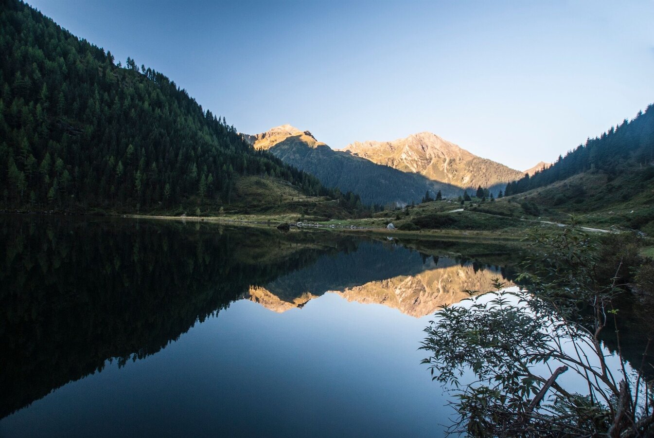
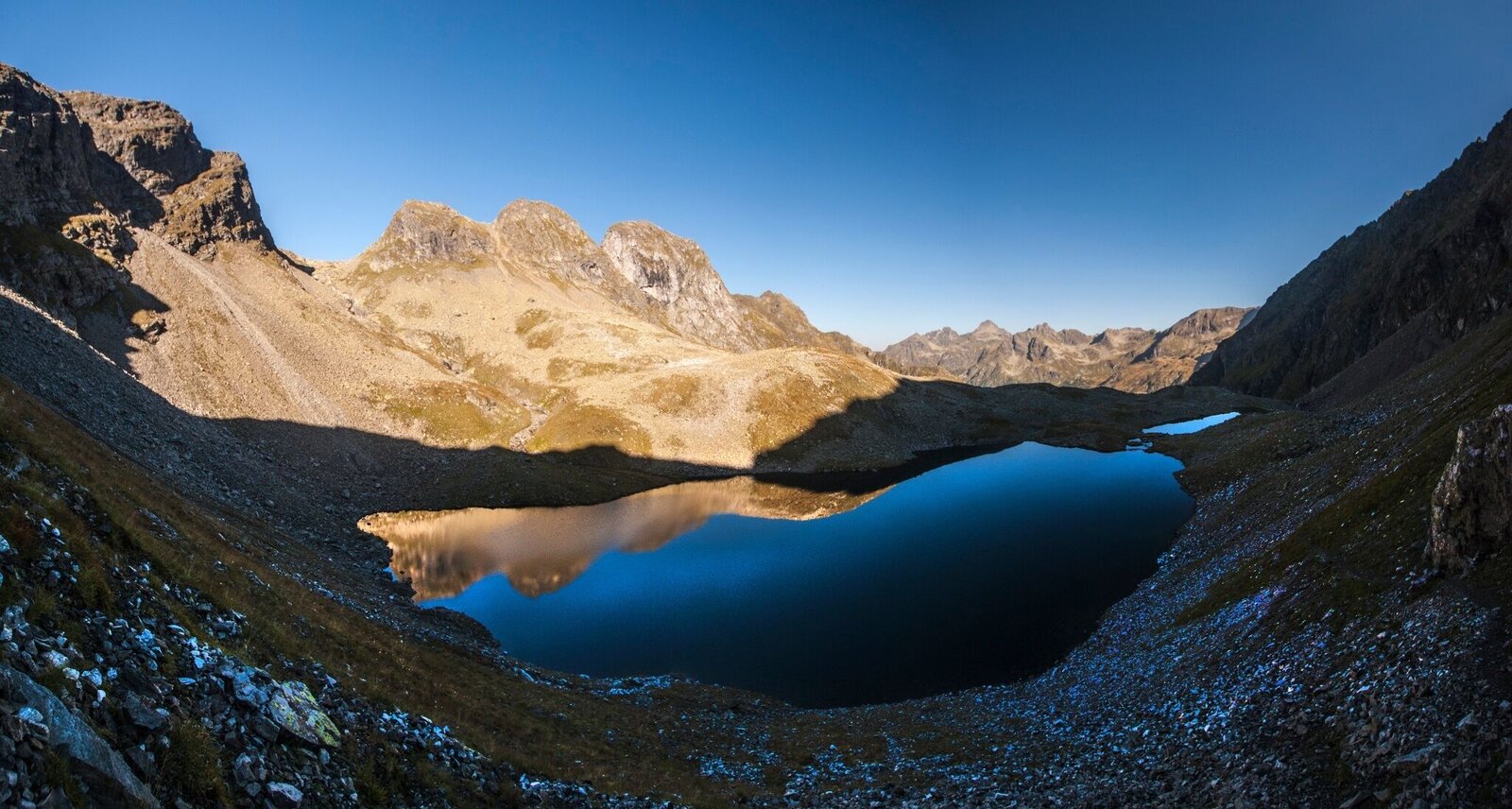
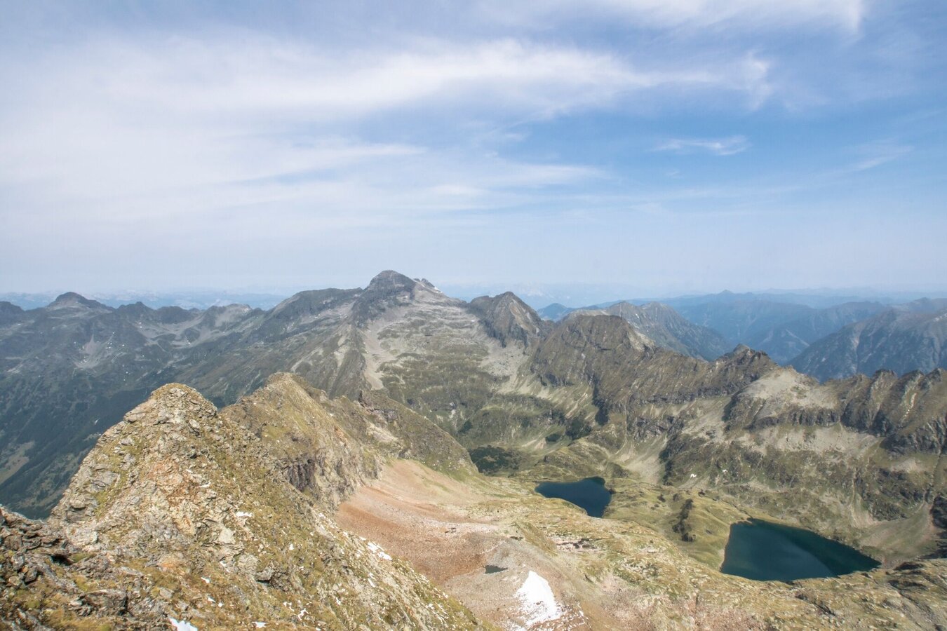
Especially the West face of Waldhorn is really impressive - dropping around 800 m into the Innere Lämmerkar cirque. The ascent to the summit comes with a number of real gems - be it Riesachsee Lake in the early morning or the breathaking beauty of Kapuzinersee Lake below Waldhorntörl ridge.
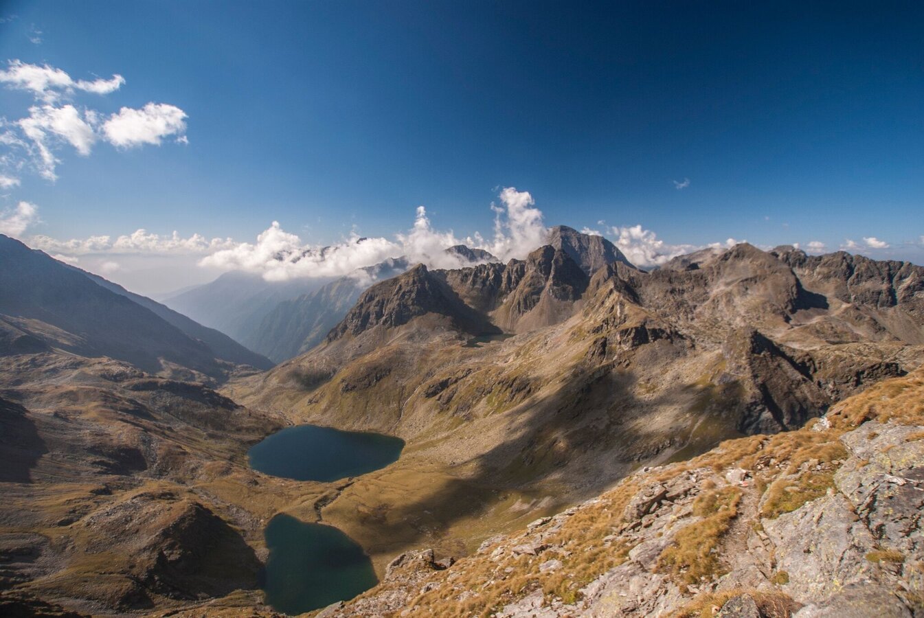
The descent can be done via the same route, though we recommend a small detour via Breite Scharte ridge and Klafferkessel, which is an Alpine plateau with smaller and bigger tarns.
The tour
Map, elevation profile & further information
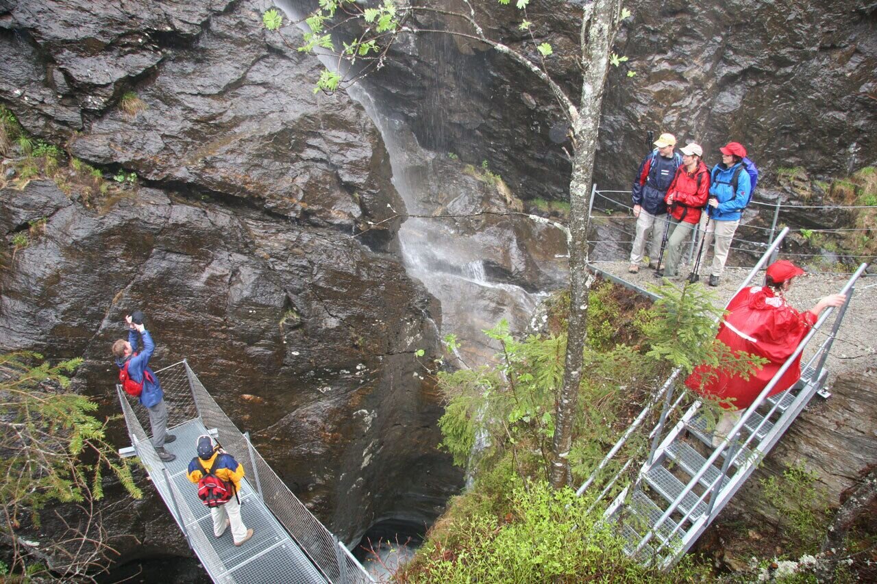
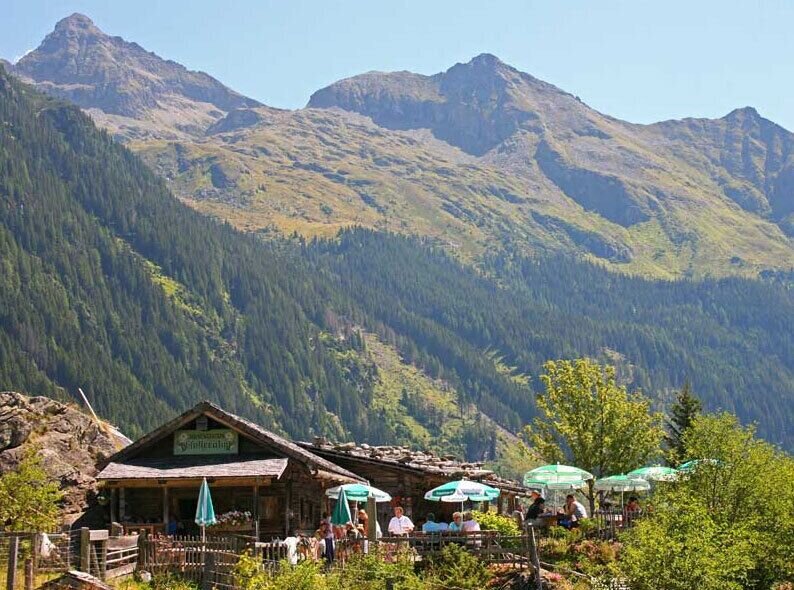
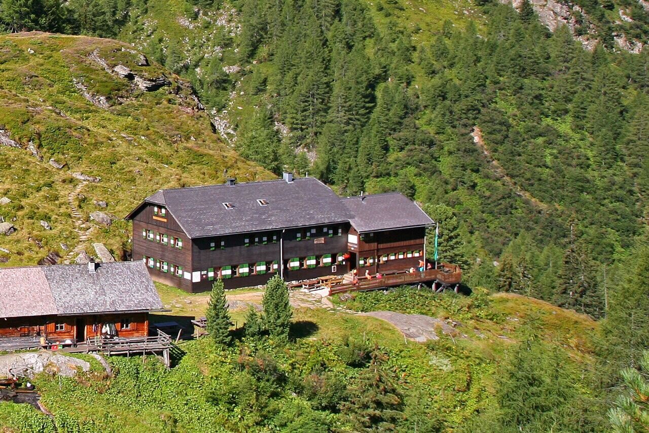
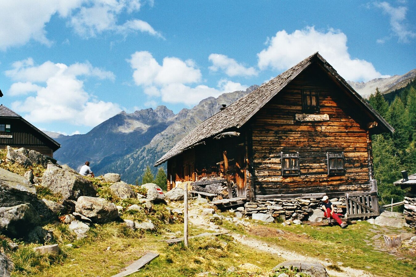
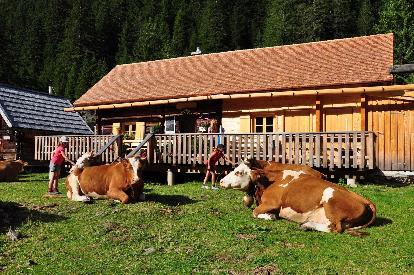
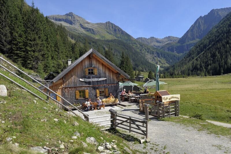
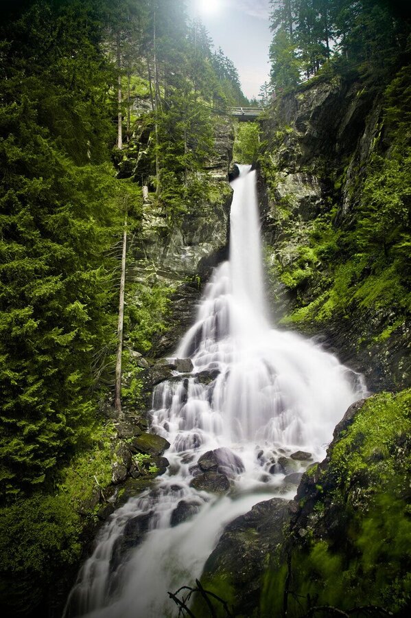
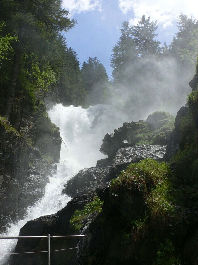
From Seeleiten car park at Riesach waterfall you ascend to Gfölleralm and Riesachsee Lake either via the alpine trail through "Höll" gorge or via a forestry road. Passing by the lake and the alpine chalets of Kaltenbachalm and Berallerhütte at Kotalm you follow trail n° 777 to Preintalerhütte and Waldhornalm mountain refuges.
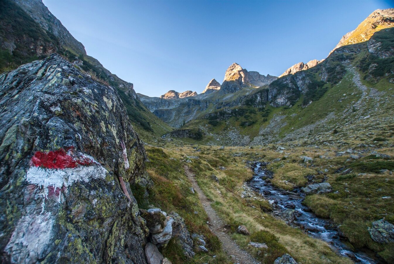
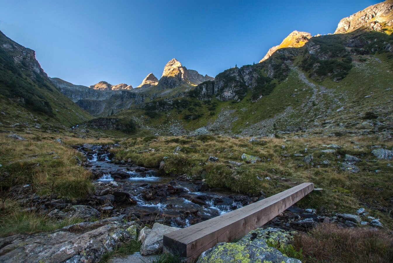
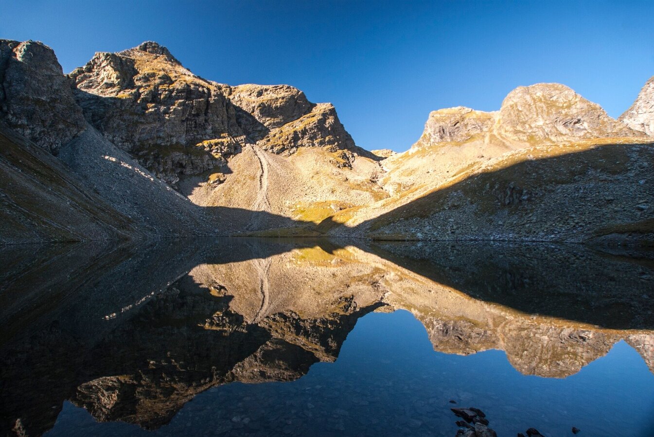
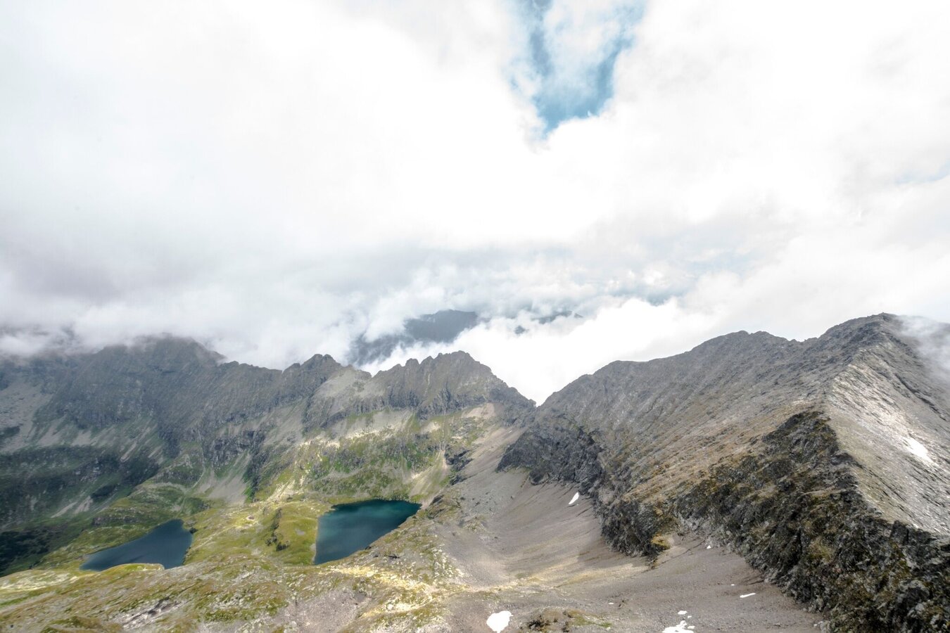
From the huts you again continue along trail n° 777 which is now also marked as trail n° 702 (Schladminger Tauern High Trail and long-distance trail 02 "Central Alps Trail"). You walk up into the "Äußere Lämmerkar" cirque where you then turn-off left and continue on trail n° 777 further uphill into the "Innere Lämmerkar" cirque. Rocky passages and partially loose rocks characterize the way and over an escarpment you ascend to Kapuzinersee Lake, which nestles inbetween an impressive mountain panorama.
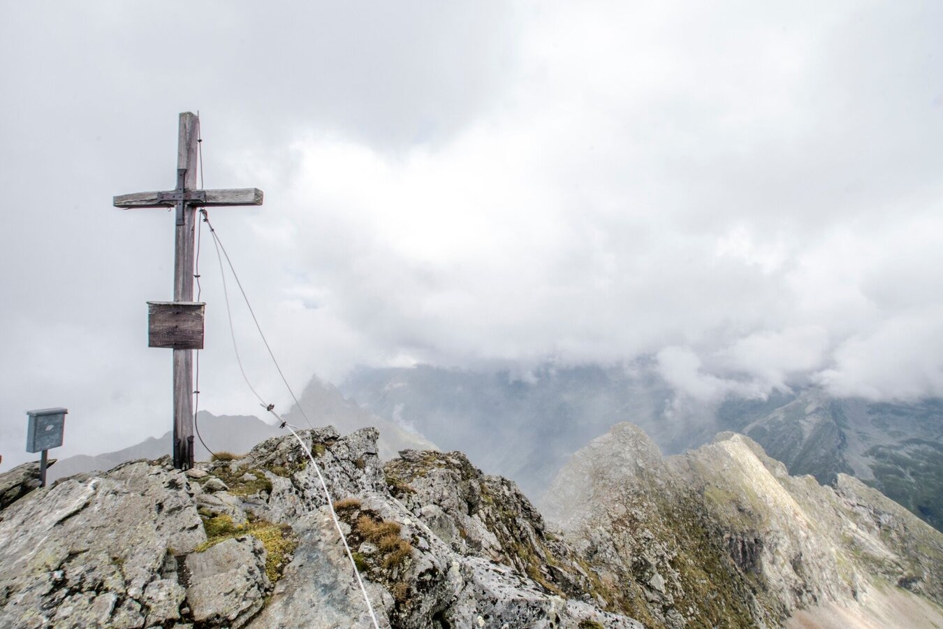
From Kapuzinersee Lake you climb up to Waldhorntörl ridge from where you can reach the neighbouring Lungau area. Directly at the ridge the trail to the summit of Waldhorn branches off left. In the beginning there are some easy climbing passages (UIAA I) up the West ridge, where the trail takes you up to the summit of Waldhorn. The view during the ascent and from the summit is terrific.
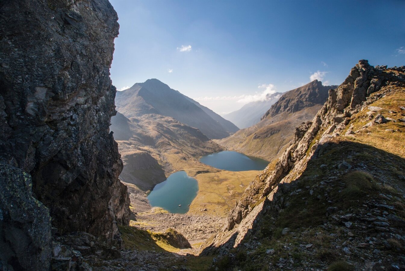
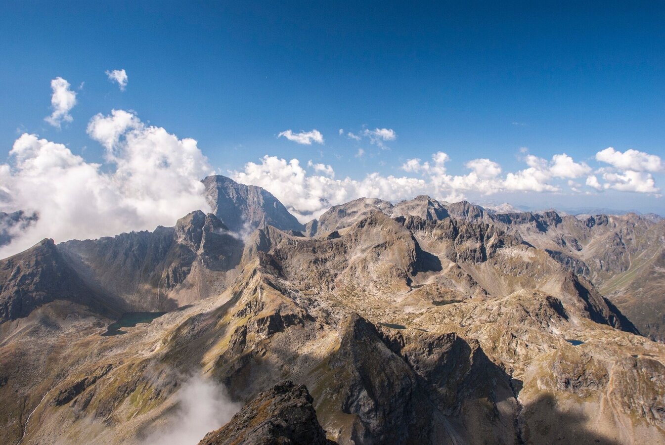
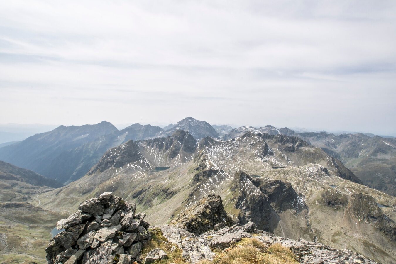
For the route back you follow the same route down to Waldhorntörl (there is a route that once was marked, taking you down via the neighbouring summit of Kieseck, which is NOT recommended!). From the ridge we recommend to make a small detour via Klafferkessel. For this purpose you walk down left of the ridge for just a bit and then take the trail over Breite Scharte into Klafferkessel. Often the lakes there are frozen into the summer, which supports the Arctic charakter of the scenery.
From the trail crossing at Klafferkessel you follow trail n° 702 back towards Preintalerhütte. Via Klafferscharte ridge you descend into Lämmerkar ciqures again. Again, the trail leads you through terrain with quite loose surface. Once down in the "Äußere Lämmerkar" cirque you reach the trail crossing 777/702 where you join the route of your ascent earlier that day. From here, take the known route back to Seeleiten car park in Untertal.
With the Planai buses from Schladming (Planet-Planai, Lendplatz) or Rohrmoos (Rohrmoos-Zentrum) to Untertal valley - bus stop "Riesach- Wasserfall" at Seeleiten car park.
- Buses of Planai-Hochwurzen-Bahnen: www.planaibus.at
Changes in weather patterns, quick falls in temperature, thunderstorms, wind, fog and snow are some of the dangers that can be encountered on a hiking tour. Hosts of alpine huts and mountain refuges have a lot of experience in the mountains and can give good advice about weather and the trails. Poor equipment, overestimation of one's own capabilities, carelessness, poor personal constitution and/or wrong judgement can lead to critical situations. In case of thunderstorms: avoid summits, ridges and steel ropes.
GPS data and orienteering
Available GPS data - just like hiking maps - is only a guidance for orientation and can never depict a trail exactly with all its details. Especially at dangerous spots it is essential to judge on site how to proceed.
In an emergency please call:
- 140 - for Alpine emergencies (all over Austria)
- 112 - European GSM emergency number
Tourist information: www.schladming.com
Information about bus schedules: www.planaibus.at
360° drone images
Get yourself an overview with our 360° drone images:
- View over Klafferkessel: https://vonoben.schladming-dachstein.at/sommer/index.php?S=315
- View into Lämmerkare cirques: https://vonoben.schladming-dachstein.at/sommer/index.php?S=316
- Descent from Preintalerhütte: https://vonoben.schladming-dachstein.at/sommer/index.php?S=317
- View over Riesachsee Lake: https://vonoben.schladming-dachstein.at/sommer/index.php?S=318
MOUNTAIN GUIDES
In case you want to join/hire a mountain guide we recommend contacting a local alpine school or mountain guide:
Alpine school Schladming | Herbert Raffalt
Certified mountain and ski guide - Alpine photographer – author +43 (0)664 8980895 | www.raffalt.com
Mountain and ski school Monte Krah | Gerhard Resch
Certified mountain and ski guide, certified skiing instructor +43(0)664 1400439 | www.monte-krah.com
Mountain and Adventure School | Heli Rettensteiner
Certified mountain and ski guide +43 (0)6454 7624 or +43 (0)664 95 05 363 | www.bergundabenteuer.at
Patrick Laszlo
Certified mountain and ski guide +43 (0)664 42 51 234 | www.bergfuehrer-schladming.at
- Hiking map ‘Hiking WEST’ available at the information offices in the region.
- Schladming hiking map, 1:25,000, available at the Schladming information office.
- Hiking map Schladming-Dachstein, 1:50,000, available at the information offices in the region.
- Hiking guide Schladming-Dachstein by Herbert Raffalt, available at the information offices in the region.


