

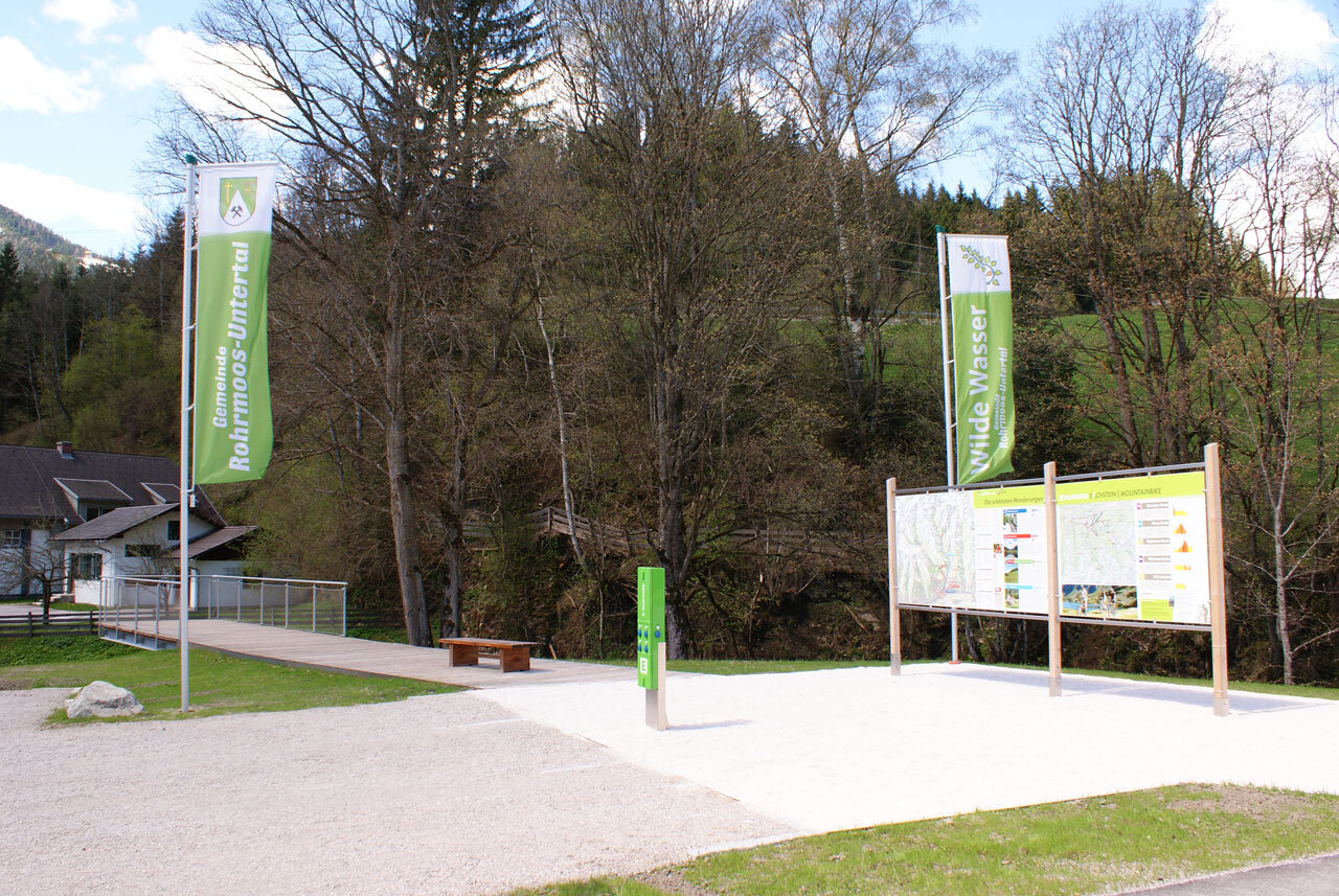
Theme trail Wild Waters
Tour description
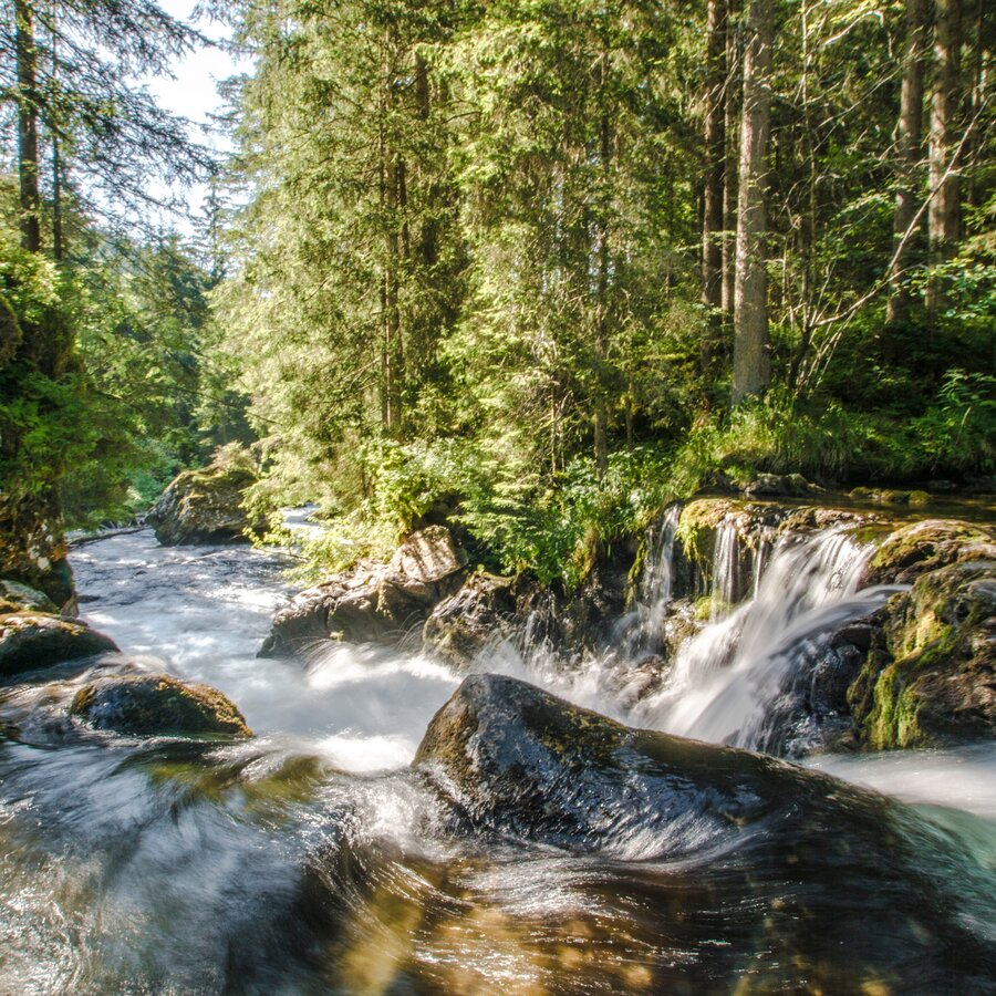
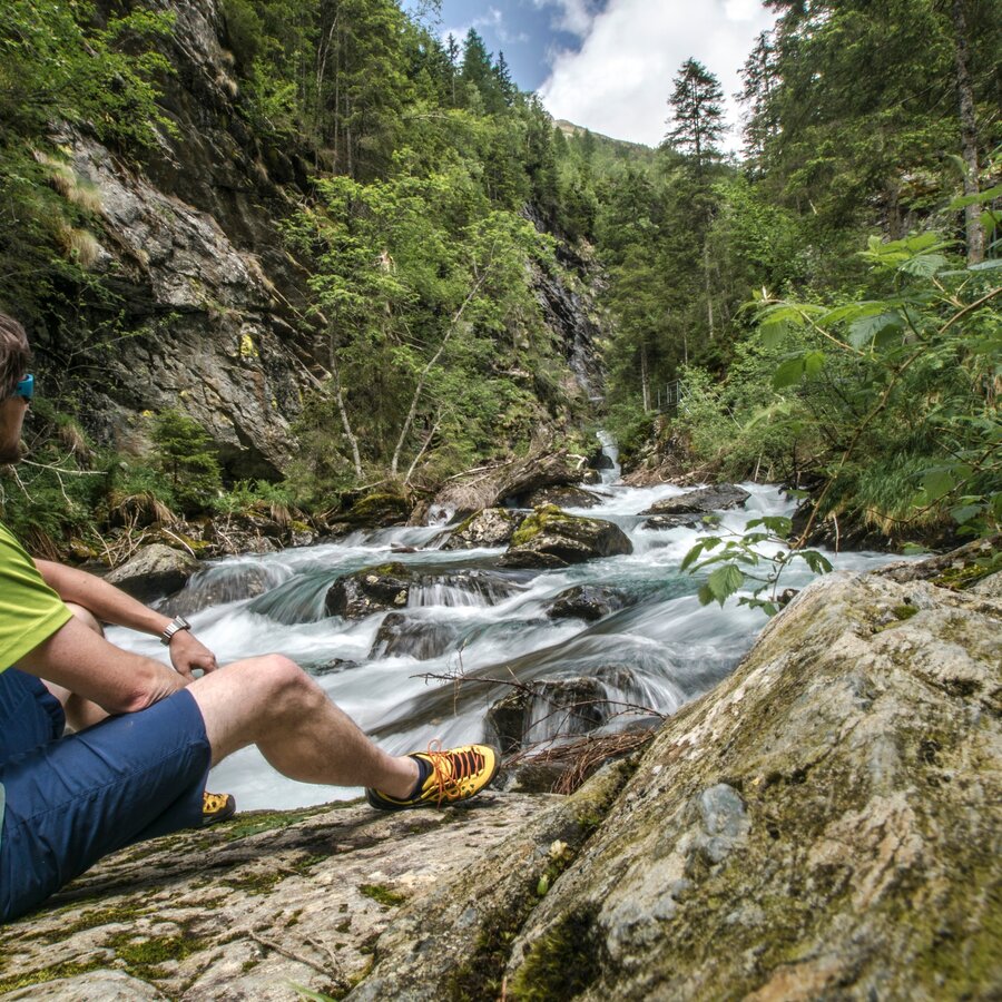
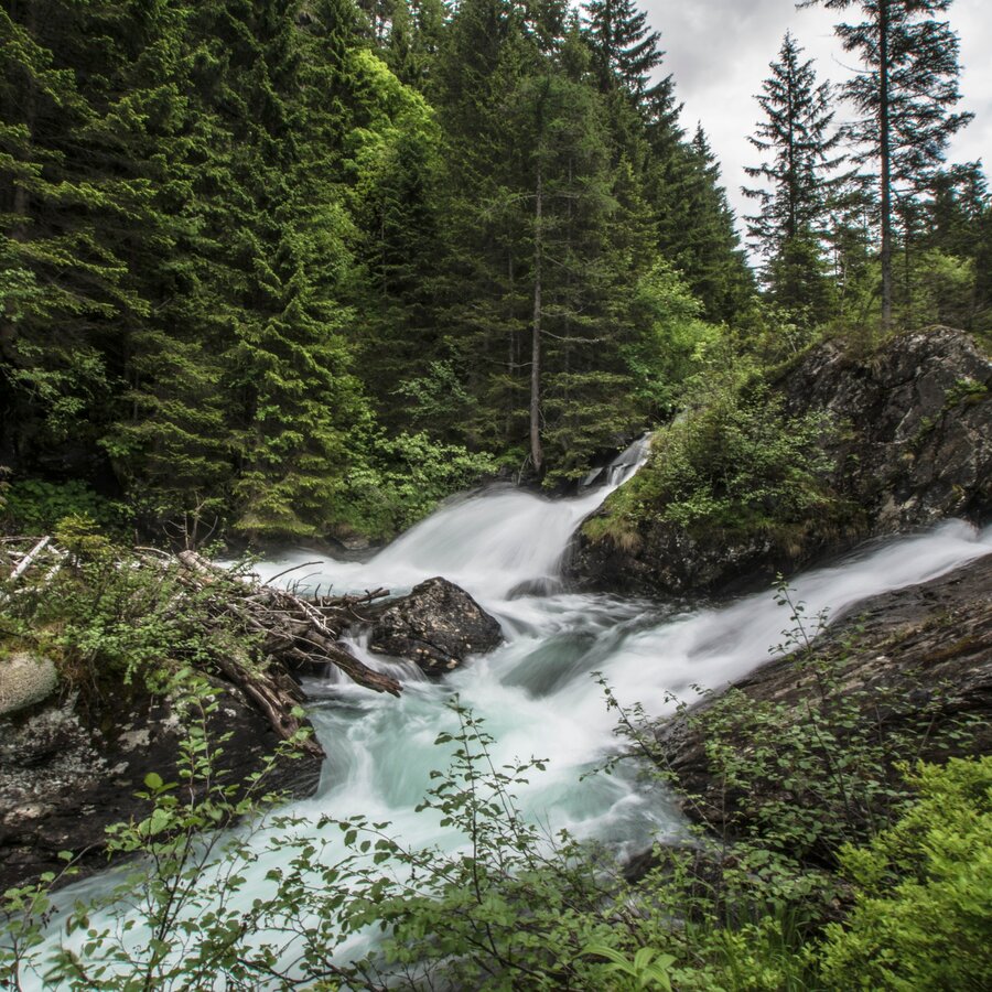
Over 16 kilometres of ‘Wild Waters’ show our most valuable asset in all its facets - from calmly glistening, crystal clear to thunderously foaming in a free fall over the rocks of the Schladminger Tauern. A unique nature experience that has been awarded the title of ‘National Geographic Hiking Trail’ and ‘most beautiful certified tour’ by the Austrian Hiking Villages.
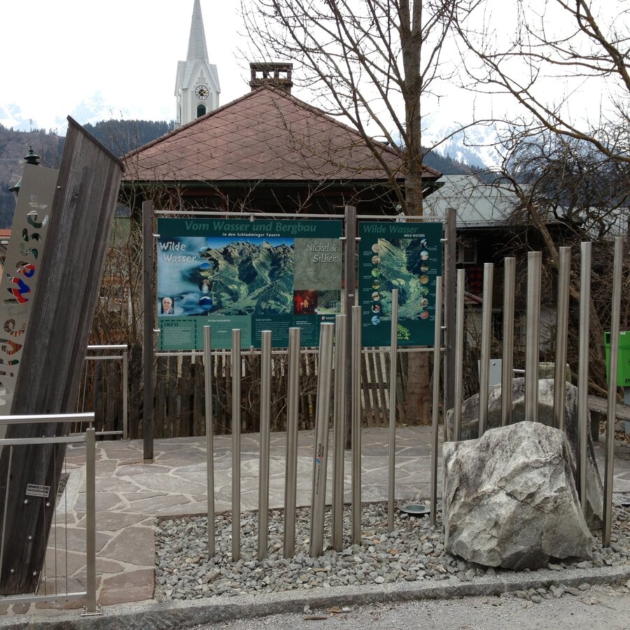
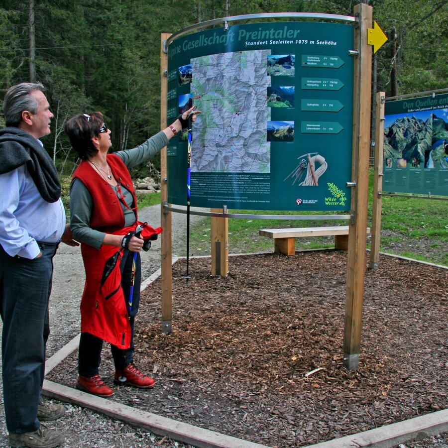
Detailed information boards in German and English provide information on the following topics:
- Route of the path with distances and bus stops,
- legends,
- drinking water,
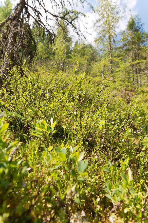
- birds, insects, rare plants, moors,
- photo motifs,
- game, fish,
- alpine pastures, alpine pasture research and
- development of the valley.
The tour
Map, elevation profile & further information
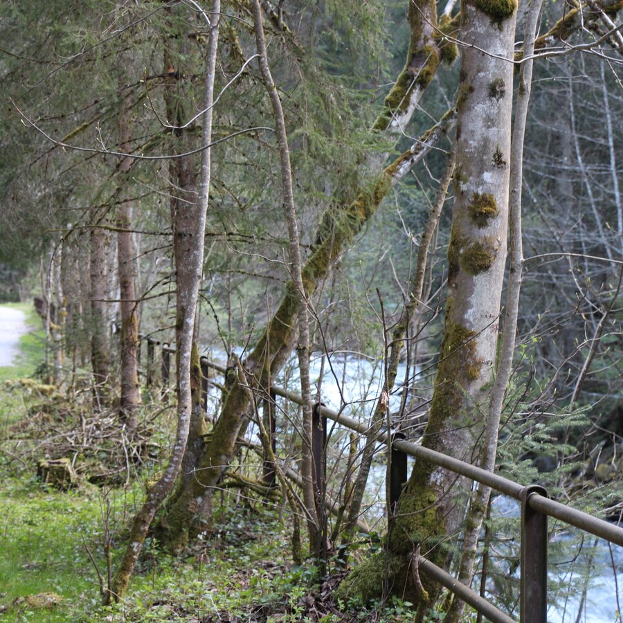
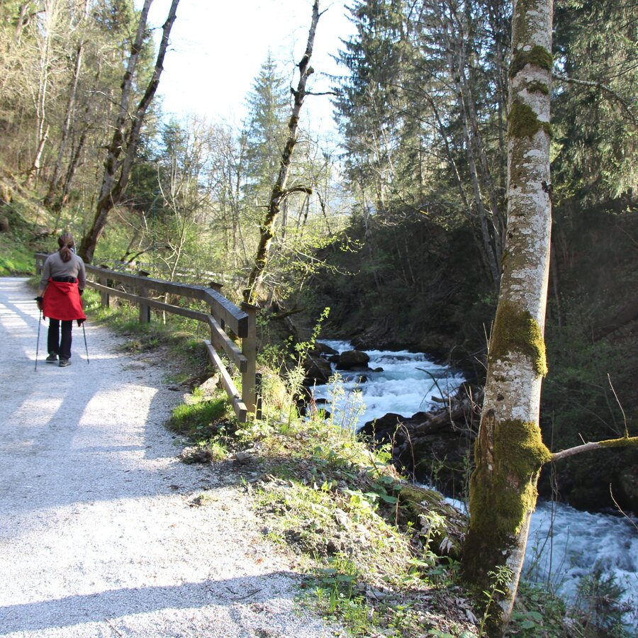
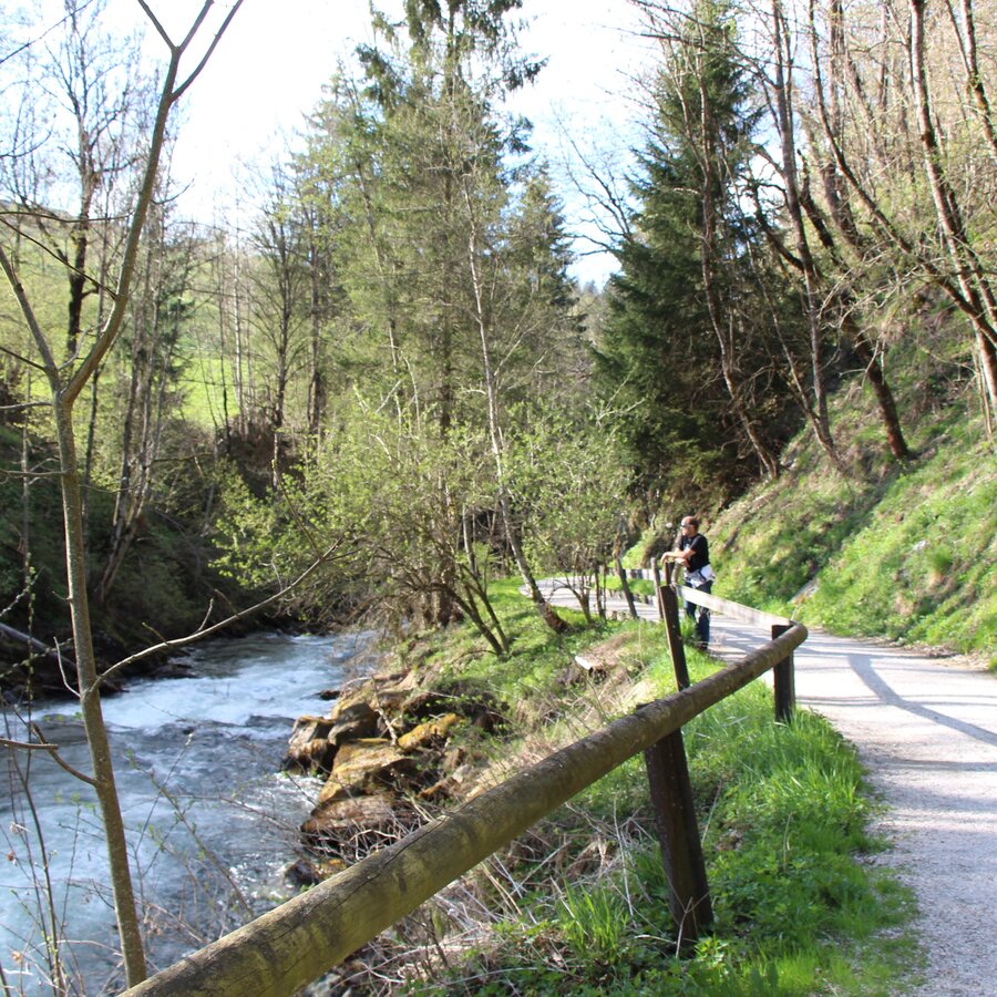
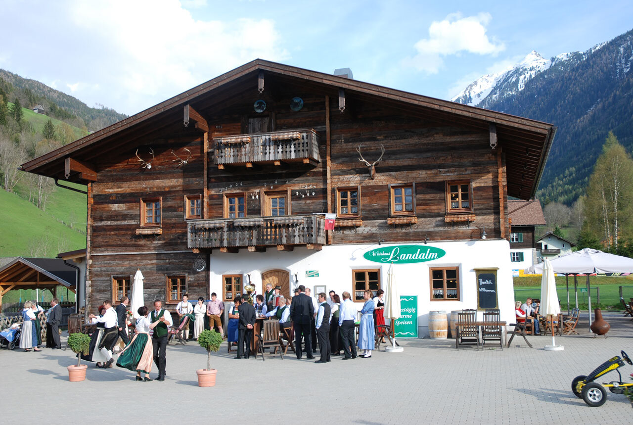
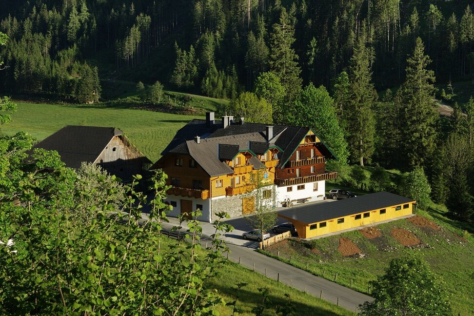
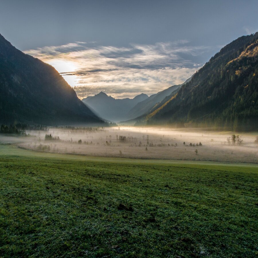
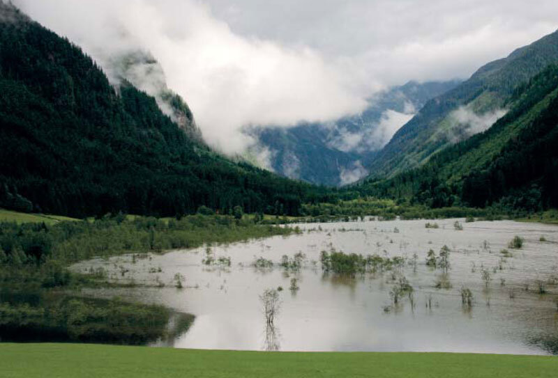
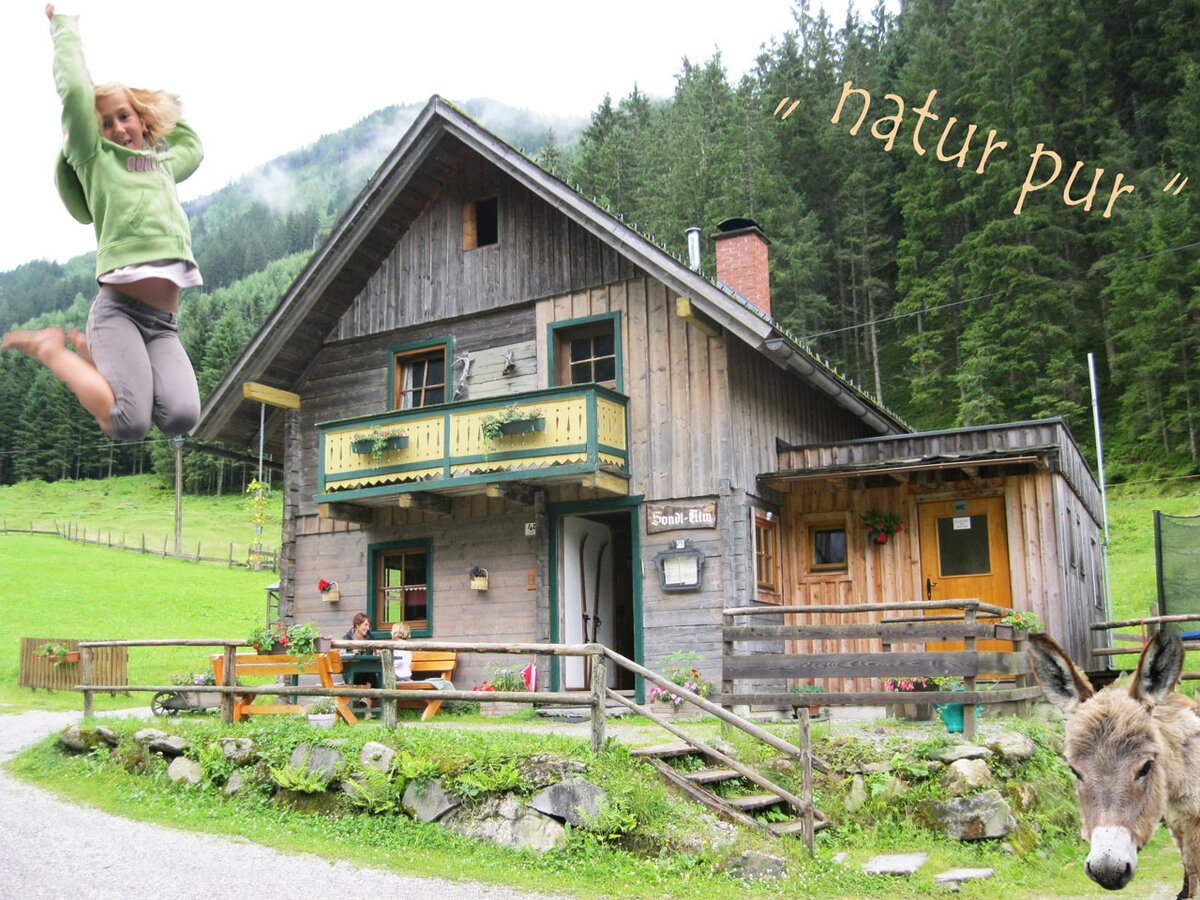
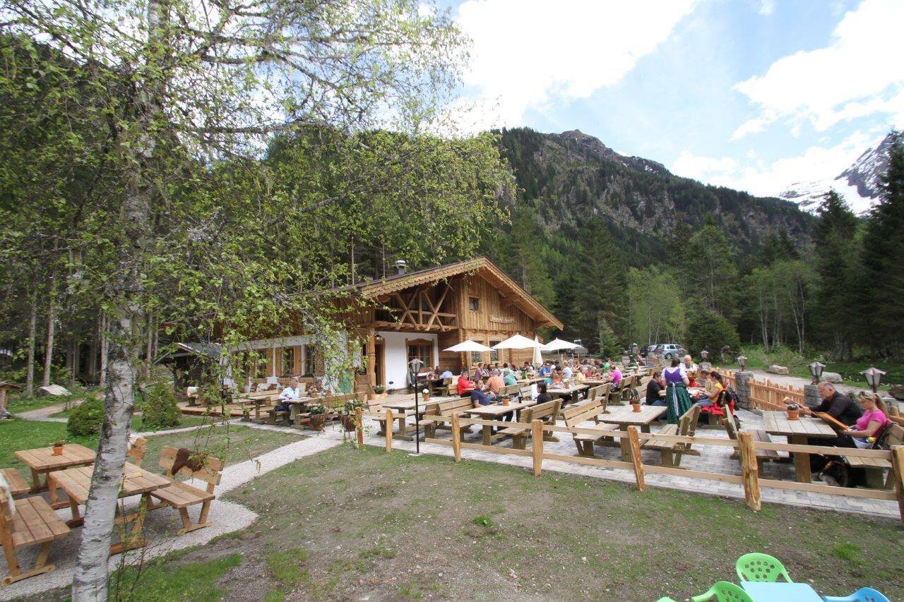
You begin this all-day Wild Waters hike in Schladming at the Kraiter car park, with your constant companion the fast, untamed torrents of the Talbach. Things become a little gentler after the village of Untertal, as you pass the old fire station and take a path across gentle meadows to Janerbrücke. After 200 m along the road, you turn off right before Hinkerbrücke bridge and soon after you will reach the Toteisboden, with its natural irrigation and ventilation system dating back to the Ice Age, providing perfect conditions for this unique world of plants. Crossing lush alpine pastures, you will arrive, at Tettermoor, an area of breathtaking beauty and tranquility, where the Talbach meanders slowly and quietly through the moor. The next section leads you across gentle meadows and through forest alongside the crystal-clear Untertalbach – with friendly inns and alpine huts inviting you to take the occasional refreshment break.
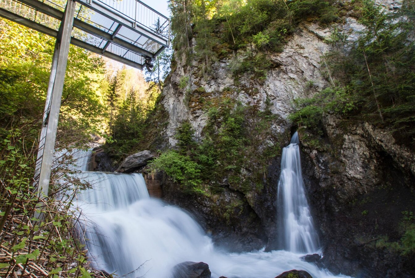
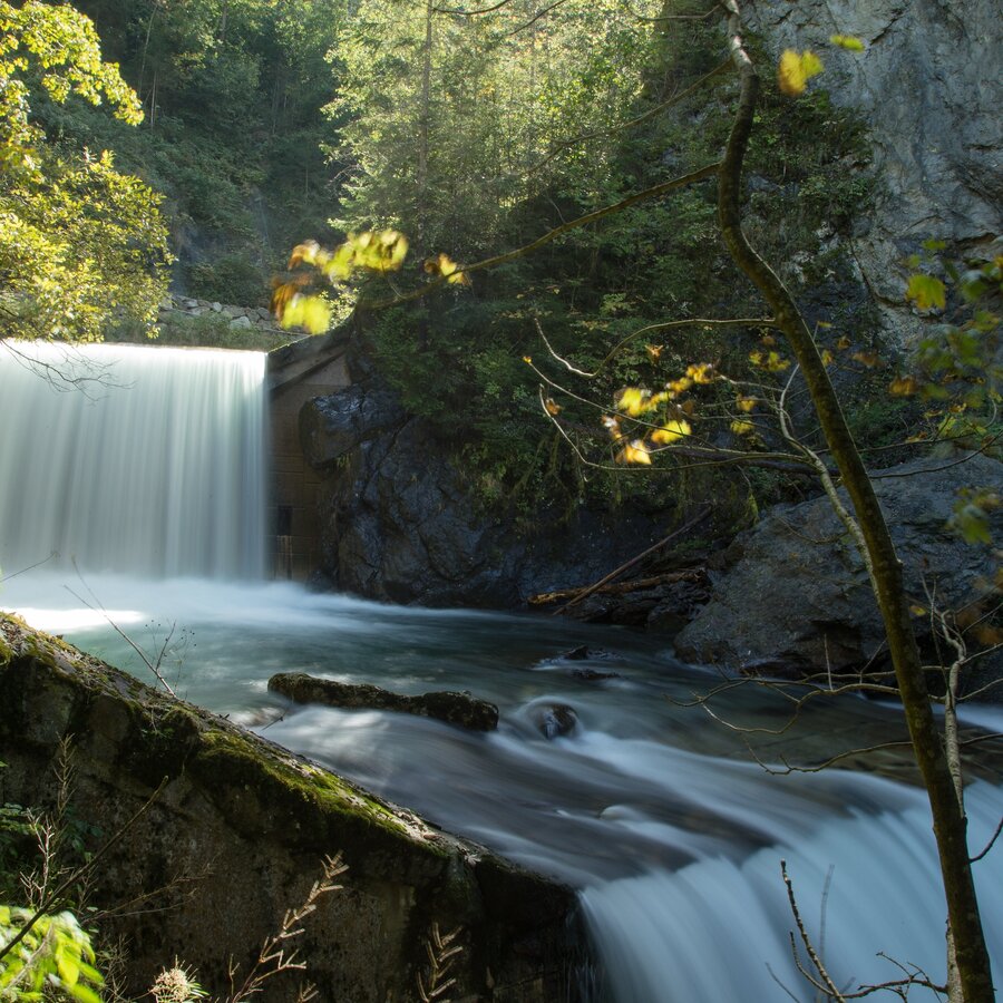
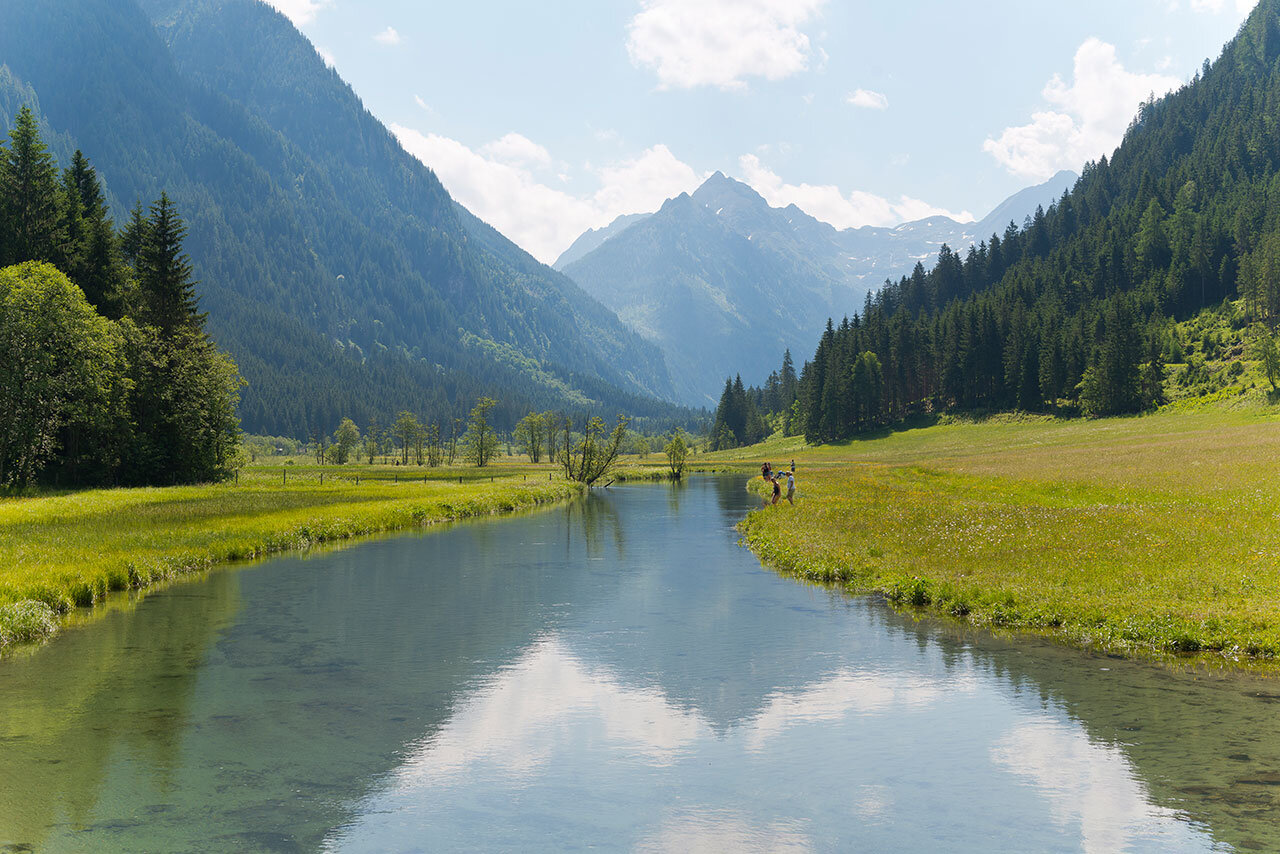
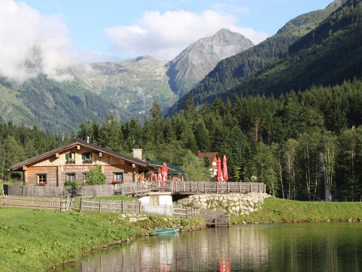
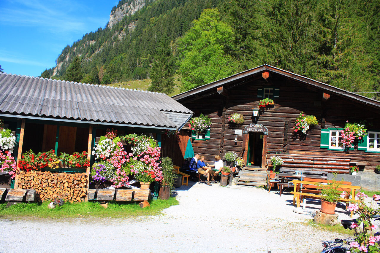
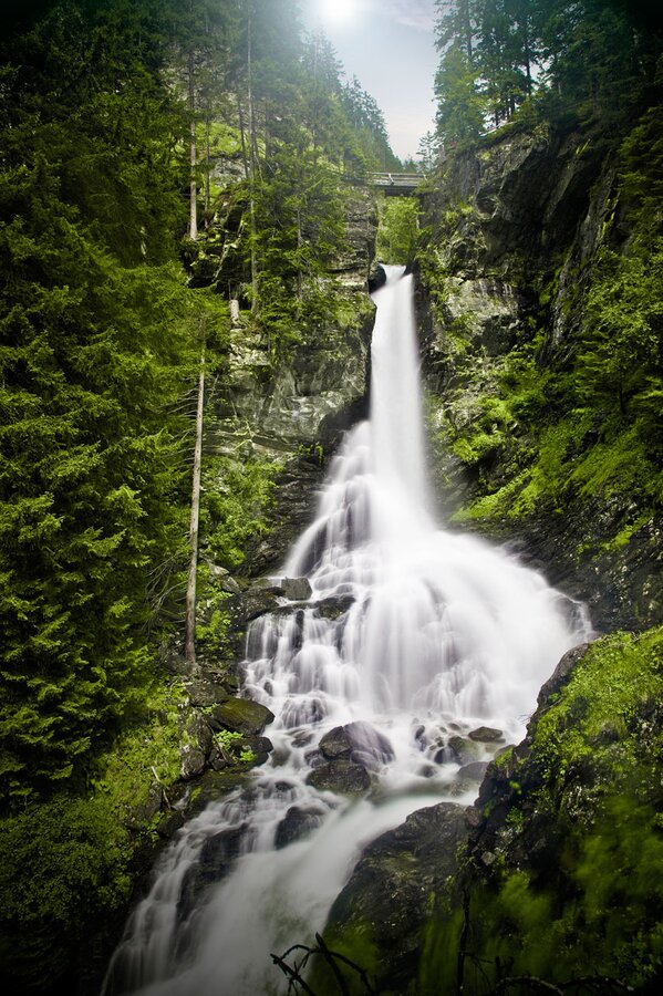
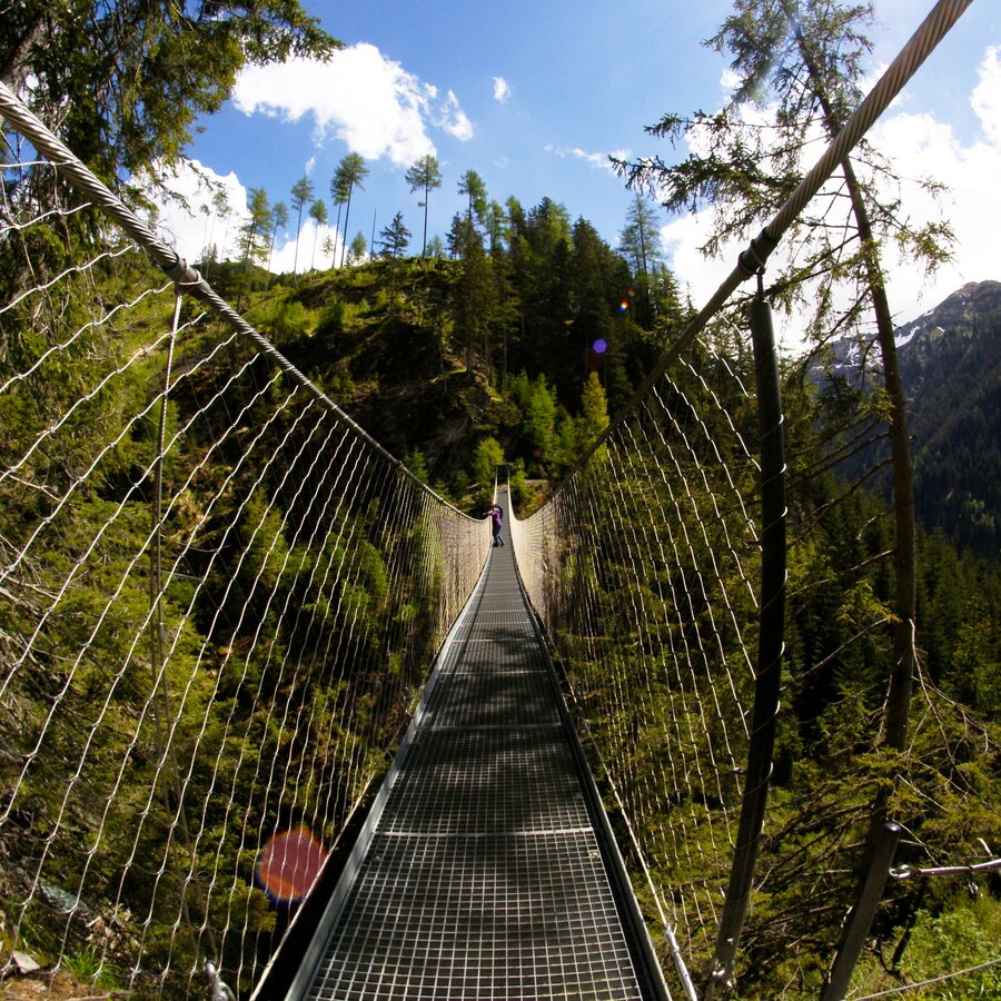
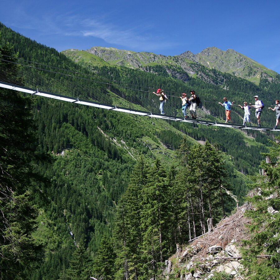
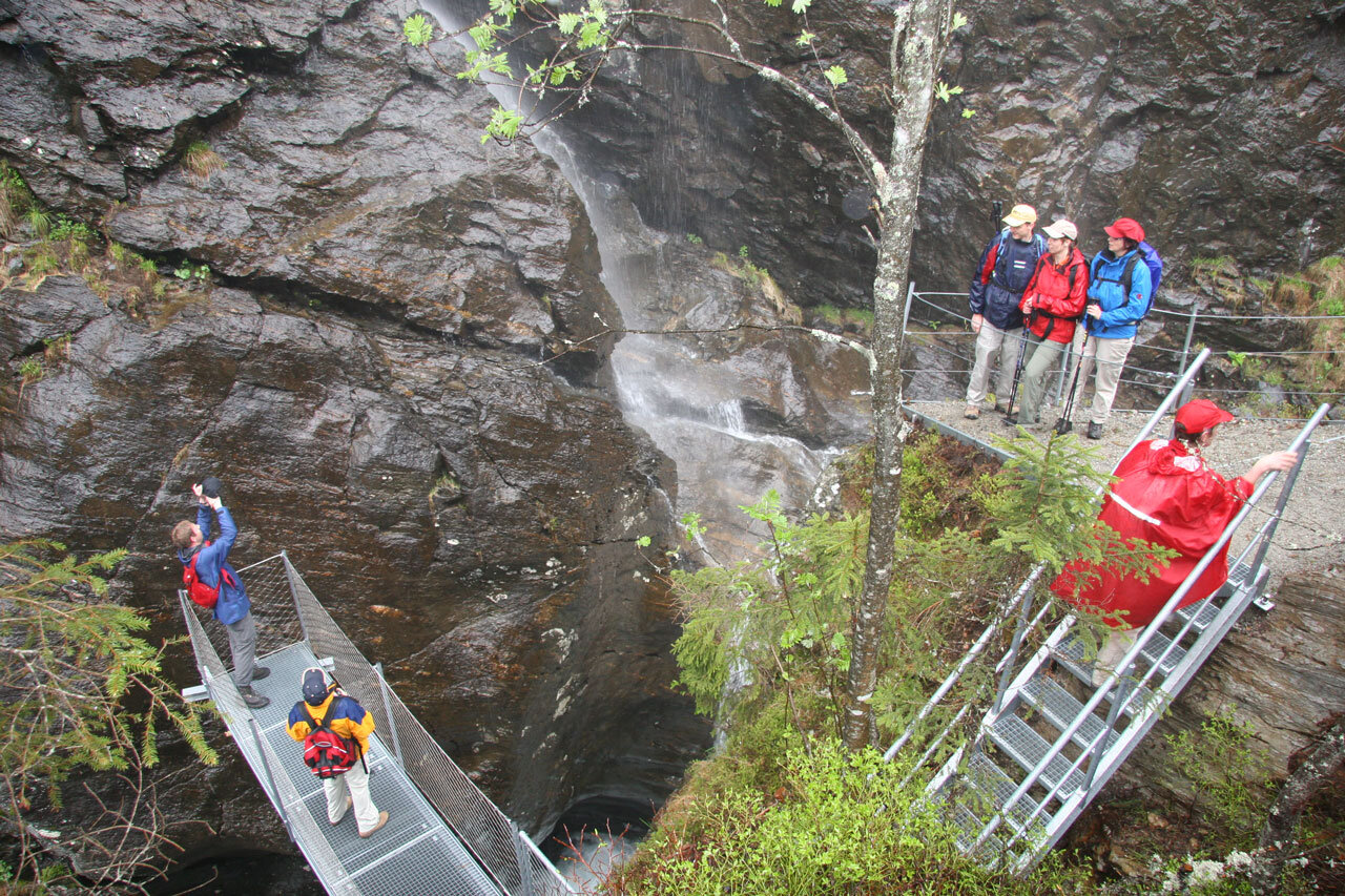
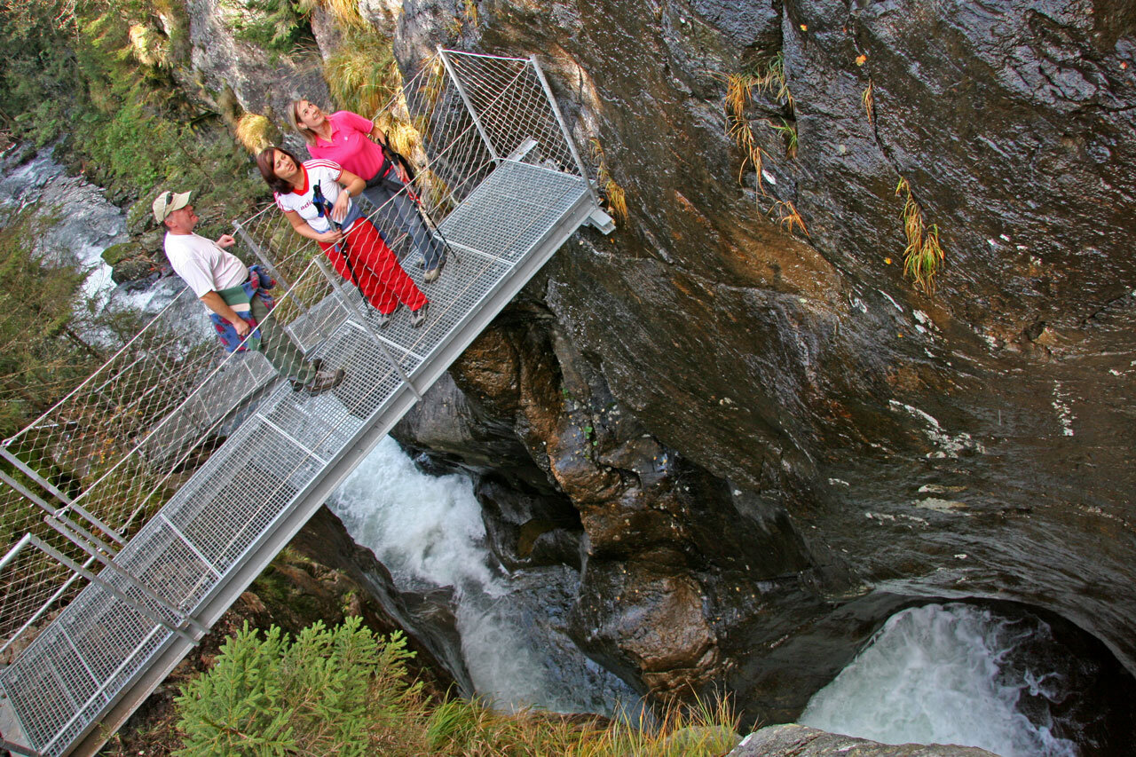
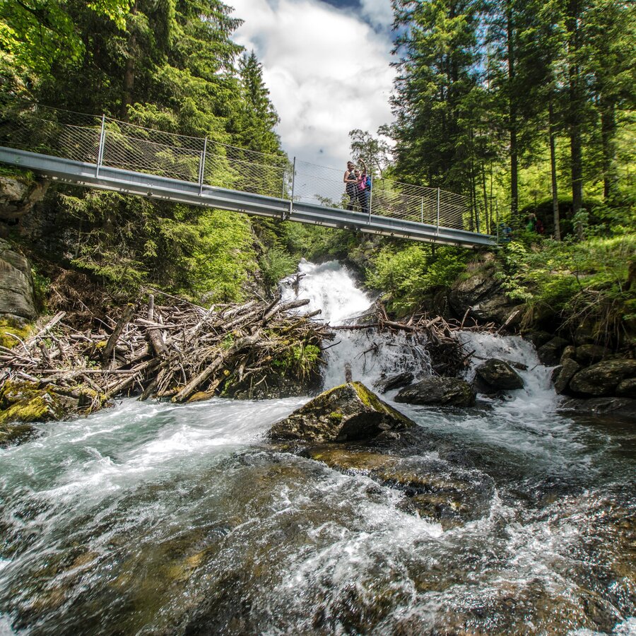
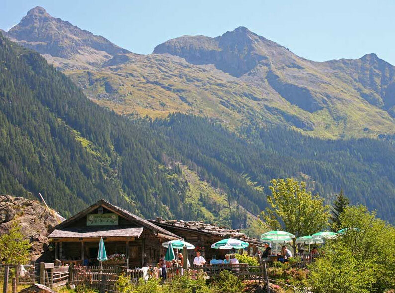
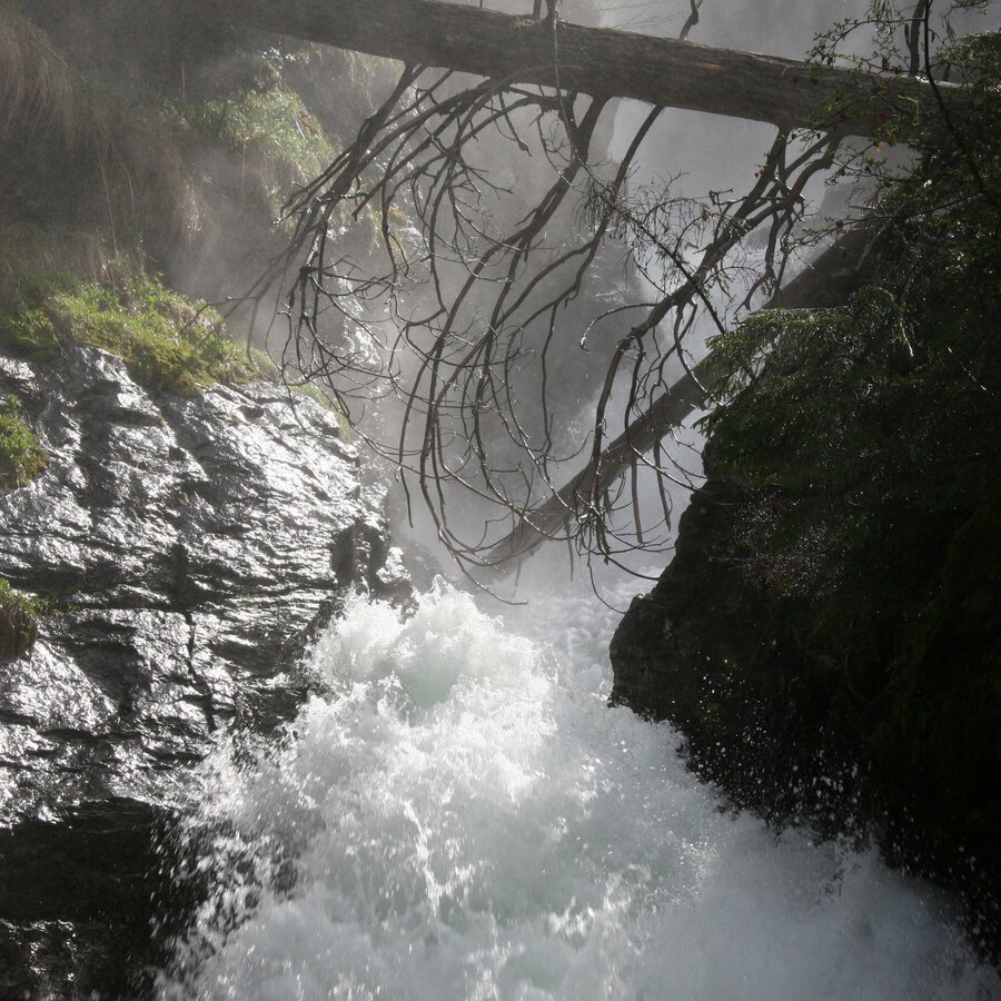
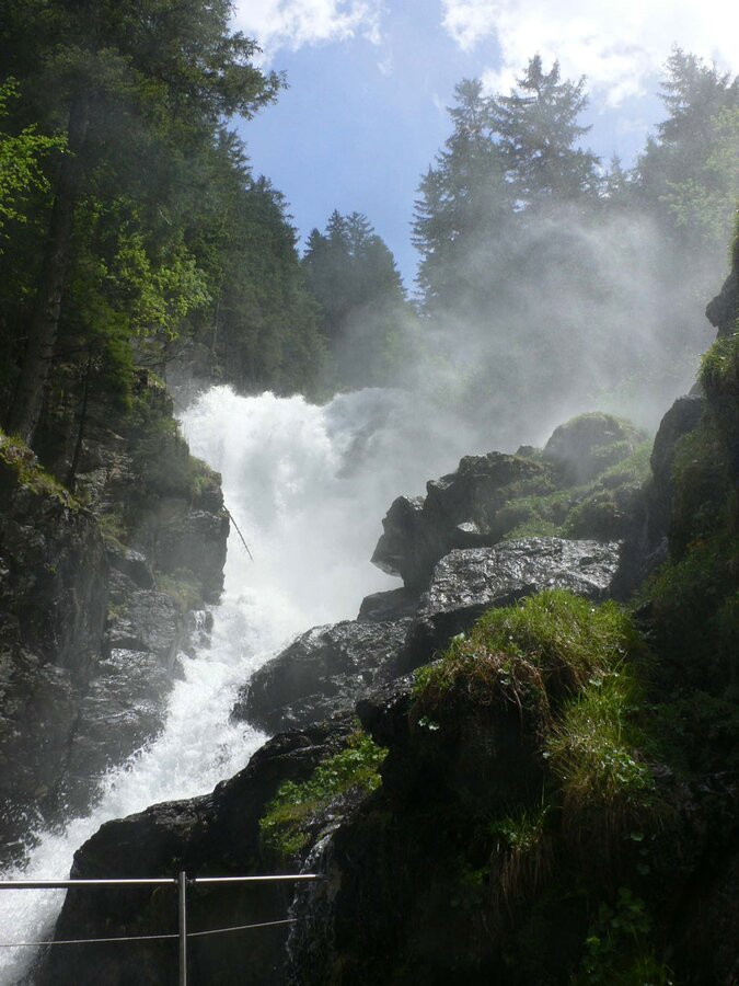
From Seeleiten car park, some very exciting stages of the Wild Waters experience begin – along the Riesach Falls Forest trail and the alpine trail "Höll" you will be able to experience the pure power of water. Magnificent Riesach Waterfalls drops a total of 140 metres in two tiers to the valley below – with viewing platforms that put this, the highest waterfall in Styria, practically within arm’s reach. A little later, you can step out onto a 50 meters-long cable footbridge, gazing from a dizzying height down on the Wildbach as it flows through Höllschlucht canyon. Afterwards, you will make your way safely via countless steps Höllschlucht canyon until you reach the Gfölleralm, then a few minutes later, the picturesque shores of the lake Riesach. On the left shore, the Kaltenbachalm invites you to take a well-earned break. For your return to the Seeleiten car park, we recommend the pleasant forest lane.
Please note: The Alpinsteig is NOT suitable for dogs - tip: bypassing on the forest road to Riesachsee
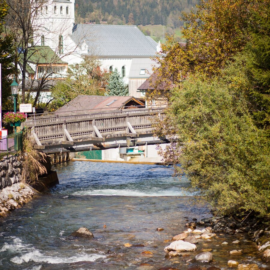
The theme trail Wild Waters starts with the Talbachklamm gorge in Schladming. The best option for parking is the parking garage at the Planai gondola (Planai stadion). From there you follow the trail signs towards Talbachklamm (passing by the white, Protestant church).
To reach the parking garage at Planai gondola you take exit "Schladming-Ost" from highway B320 at the congress center and follow the signage to the Planai gondola.
Parking is available at Kraiter car park (parking fee).The trail runs along the Untertal valley following the creek's way out of the valley. The Planai-Hochwurzen buses run between Schladming and the Seeleiten parking area at the valley head. There are several bus stops in between so you can also just take some stages of the entire trail.
Information about bus time tables at www.planaibus.at
Changes in weather patterns, quick falls in temperature, thunderstorms, wind, fog and snow are some of the dangers that can be encountered on a hiking tour. Hosts of alpine huts and mountain refuges have a lot of experience in the mountains and can give good advice about weather and the trails. Poor equipment, overestimation of one's own capabilities, carelessness, poor personal constitution and/or wrong judgement can lead to critical situations. In case of thunderstorms: avoid summits, ridges and steel ropes.
GPS data and orienteering
Available GPS data - just like hiking maps - is only a guidance for orientation and can never depict a trail exactly with all its details. Especially at dangerous spots it is essential to judge on site how to proceed.
In an emergency please call:
- 140 - for Alpine emergencies (all over Austria)
- 112 - European GSM emergency number
Tourismusinformation: www.schladming.com
Infos über Busse: www.planaibus.at
360°drone image
Get yourself an overview with our 360° drone images:
View of the lower part of Talbachklamm gorge: https://vonoben.schladming-dachstein.at/sommer/index.php?S=58
View over Riesachsee Lake: https://vonoben.schladming-dachstein.at/sommer/index.php?S=318
- Hiking map ‘Hiking WEST’ available at the information offices in the region.
- Schladming hiking map, 1:25,000, available at the Schladming information office.
- Hiking map Schladming-Dachstein, 1:50,000, available at the information offices in the region.
- Hiking guide Schladming-Dachstein by Herbert Raffalt, available at the information offices in the region.


