

Schladming
The Hochwurzen Tour
Hiking trail
Data:
Tour description
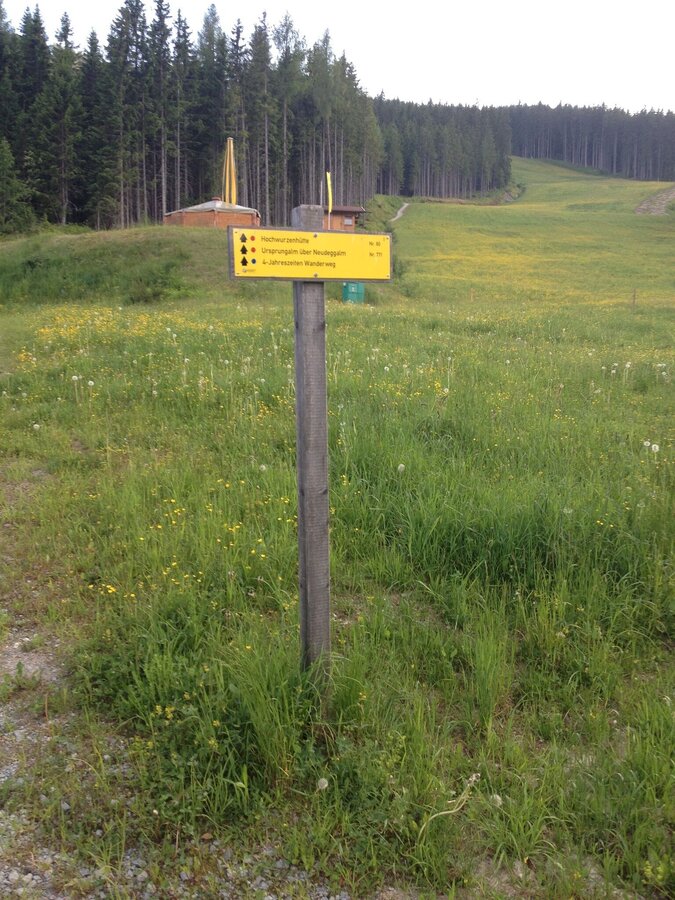
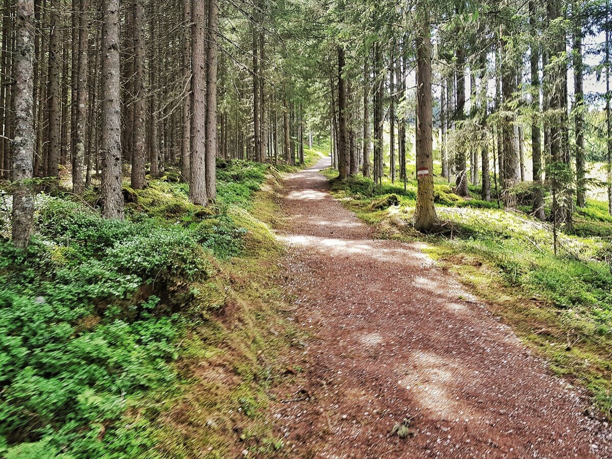
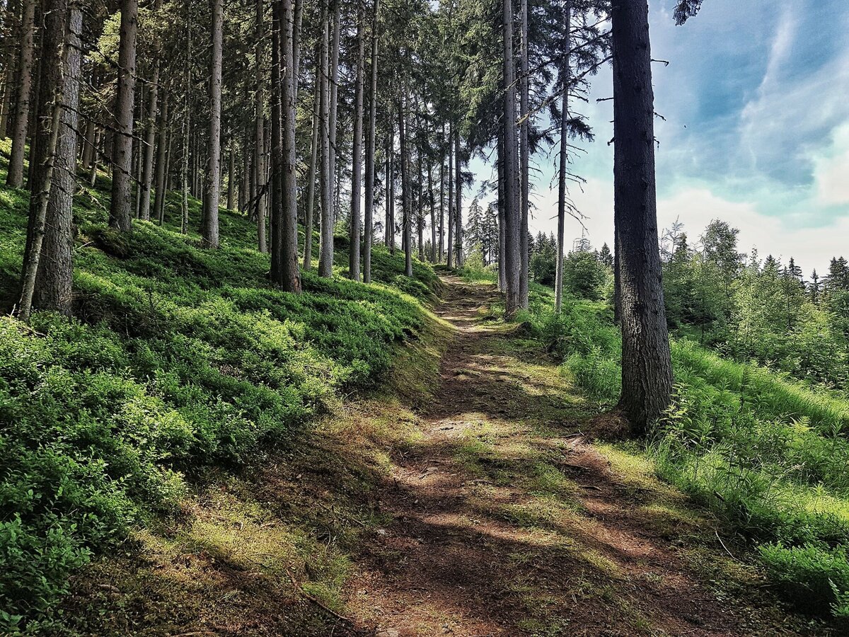
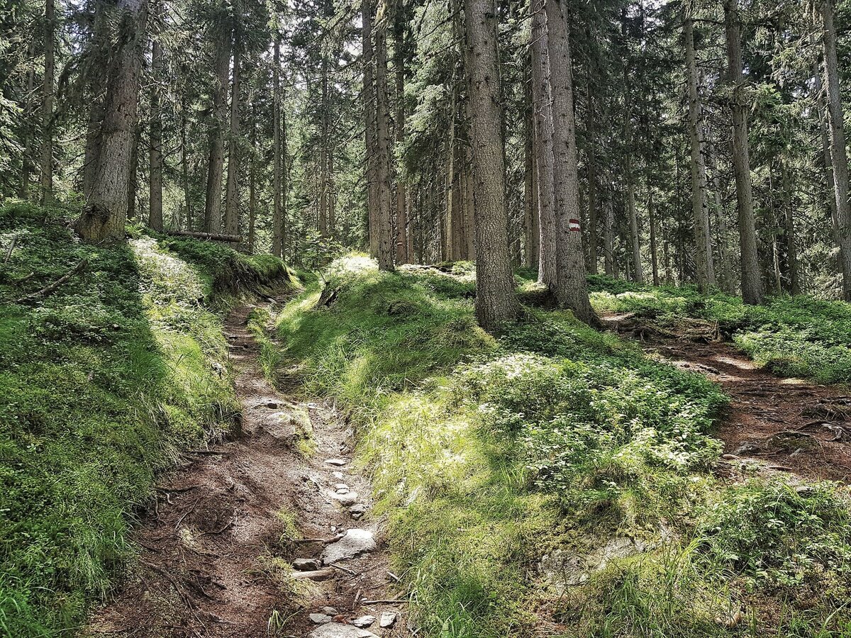
For a hike to Hochwurzen and back there a several possibilities. Probably the nicest one is trail n° 60, which is a beautiful forest and meadow trail. Trail n° 61 is a bit more direct but also steeper. For the way back into the valley we recommend the 4-seasons trail which is also suitable for prams.
The tour
moderate
Starting and end point
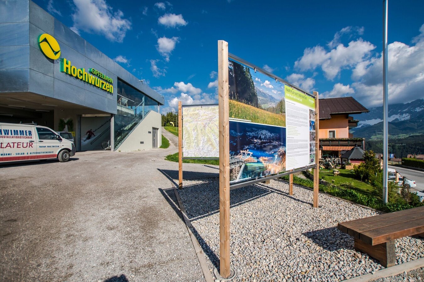
Hiking trail head, Hochwurzen valley terminal
Tour characteristics
Fitness (3/6)
Skills (2/6)
Information
Distance: 11 km
Duration:
4 h 15 min
Ascent: 725 m
Descent: 725 m
highest point: 1852 m
Best season
Jan
Feb
Mar
Apr
May
Jun
Jul
Aug
Sep
Oct
Nov
Dec
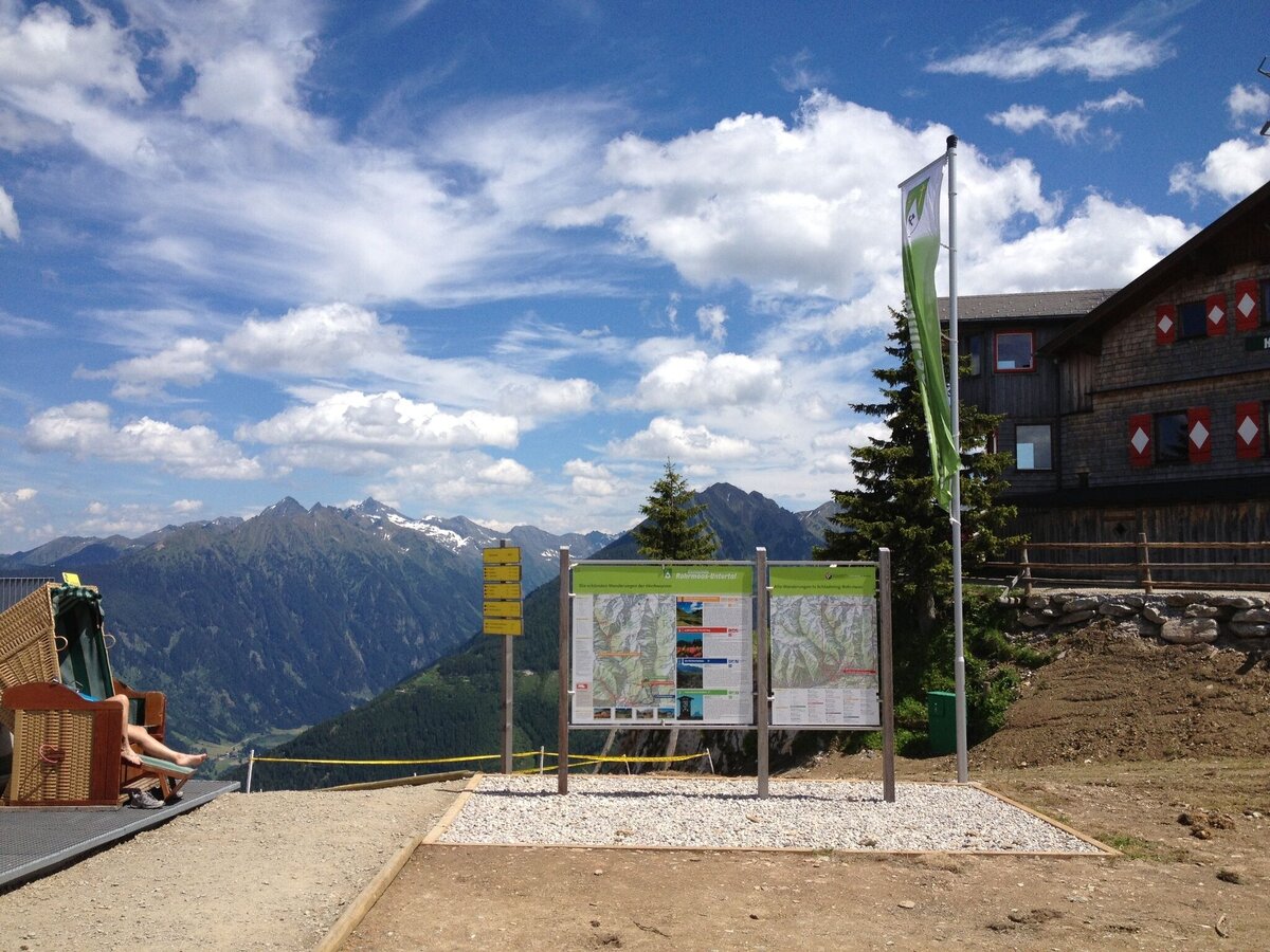
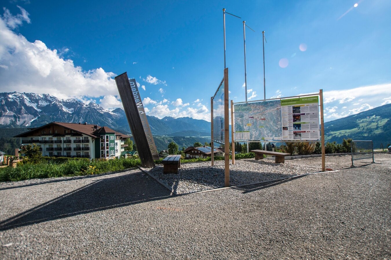
Map, elevation profile & further information
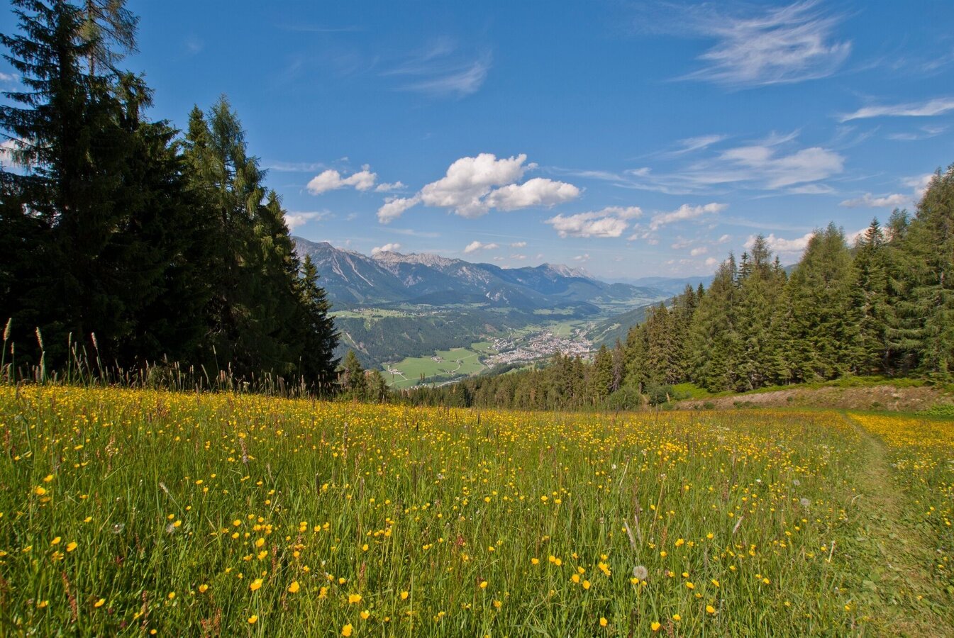
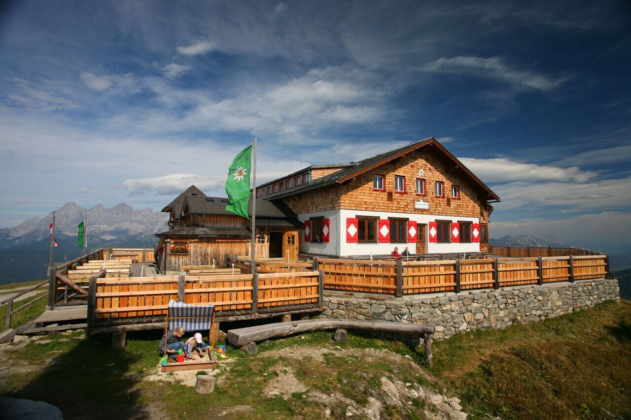
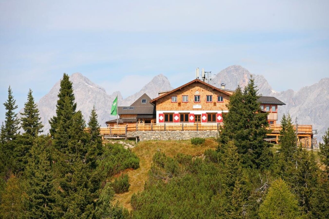
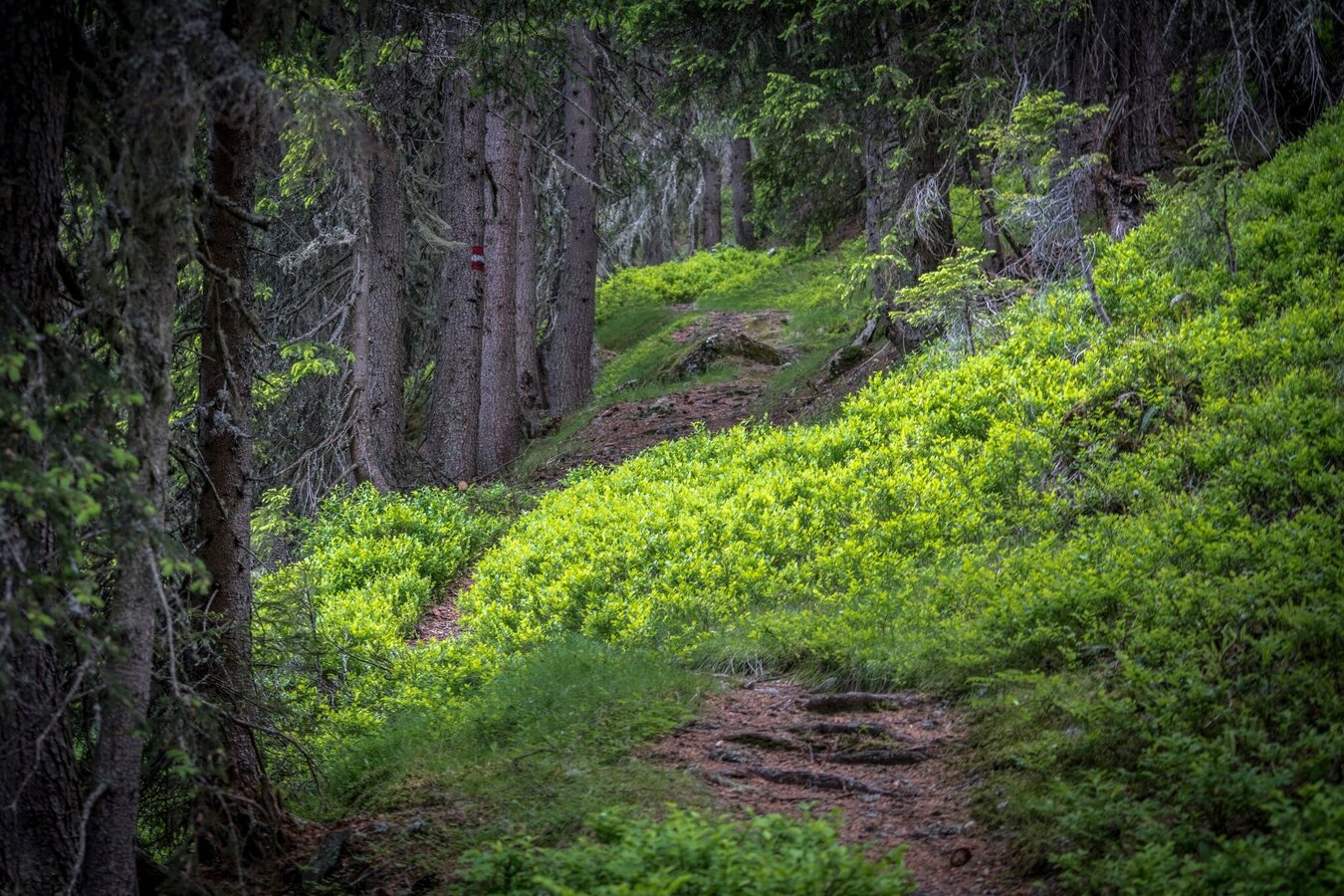
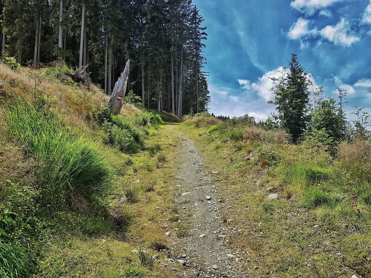
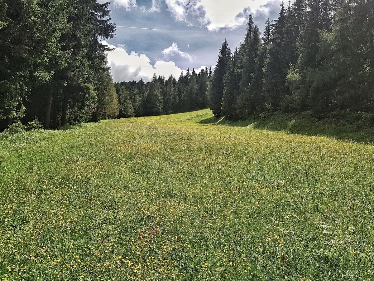
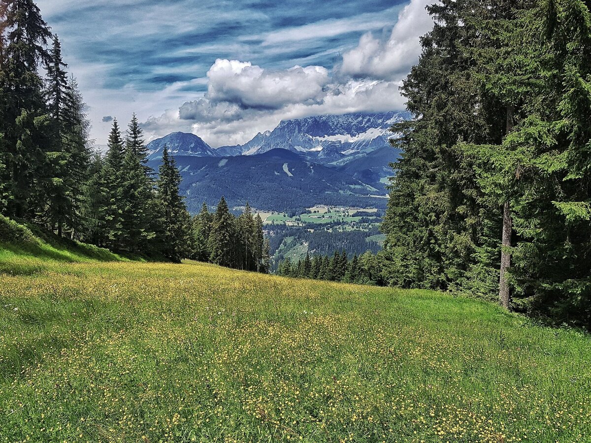
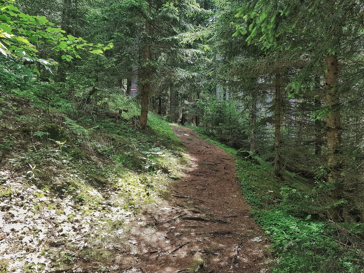
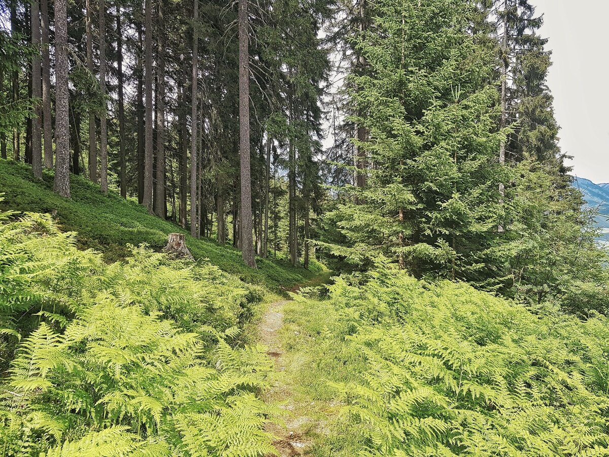
From the hiking portal, walk past the valley station of the Hochwurzen summit lift in a westerly direction. At the top station of the Rohrmoos II chairlift, trail #60 branches off onto the Hochwurzen. A good 15 minutes later, keep left at the trail crossing and continue uphill. Through beautiful forest passages, across clearings and meadows - where skiers carve down into the valley in winter - you hike towards the summit. Right at the summit is the Hochwurzenhütte, from where you can enjoy a magnificent panoramic view of the Schladminger Tauern, the Enns Valley and the Ramsau high plateau with the imposing Dachstein massif. From the summit, you can either take the cable car or return to the valley via 3 different routes:
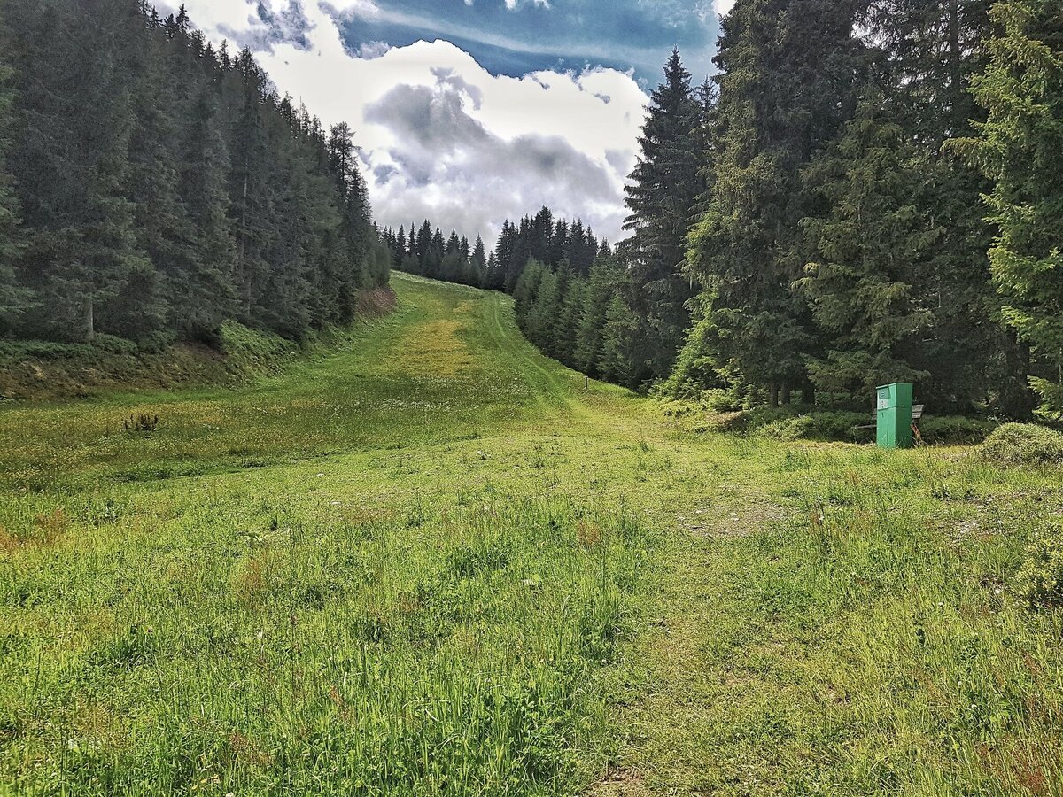
- The forest and meadow trail #60 is also recommended for the hike down to the valley.
- The 4-season trail is an easy variant suitable for pushchairs.
- Trail #61 leads from the Hüttecksattel on the Obertal side of the Hochwurzen into the valley. The moderately difficult trail also has some steeper sections, but is more direct and offers beautiful views of Rohrmoos and the Obertal valley.
From Schladming take provincial highway L722 (Rohrmoosstraße road) to Rohrmoos and at the roundabout continue straight on until you reach the valley terminal of the Gipfelbahn Hochwurzen cable-car. Here is the hiking trail head for this tour.Car parking is available at the valley terminal of the cable-car.
With the Planai buses from Schladming (Planet-Planai, Lendplatz) or Rohrmoos (Rohrmoos-Zentrum) to the valley terminal of the Hochwurzen cable-car - bus stop "Gipfelbahn Hochwurzen".
- Buses of Planai-Hochwurzen-Bahnen: www.planaibus.at
Changes in weather patterns, quick falls in temperature, thunderstorms, wind, fog and snow are some of the dangers that can be encountered on a hiking tour. Hosts of alpine huts and mountain refuges have a lot of experience in the mountains and can give good advice about weather and the trails. Poor equipment, overestimation of one's own capabilities, carelessness, poor personal constitution and/or wrong judgement can lead to critical situations. In case of thunderstorms: avoid summits, ridges and steel ropes.
GPS data and orienteering
Available GPS data - just like hiking maps - is only a guidance for orientation and can never depict a trail exactly with all its details. Especially at dangerous spots it is essential to judge on site how to proceed.
In an emergency please call:
- 140 - for Alpine emergencies (all over Austria)
- 112 - European GSM emergency number
In winter the Hochwurzenstraße road is a toboggan run, in summer you can also rent a Mountain Gokart for your way back down the mountain.
Information about bus schedules and cable-car operating times: www.planai.at
- Hiking map ‘Hiking WEST’ available at the information offices in the region.
- Schladming hiking map, 1:25,000, available at the Schladming information office.
- Hiking map Schladming-Dachstein, 1:50,000, available at the information offices in the region.
- Hiking guide Schladming-Dachstein by Herbert Raffalt, available at the information offices in the region.


