

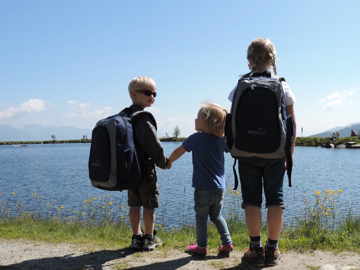
Silent Waters - Hike to Untersee Lake

Tour description
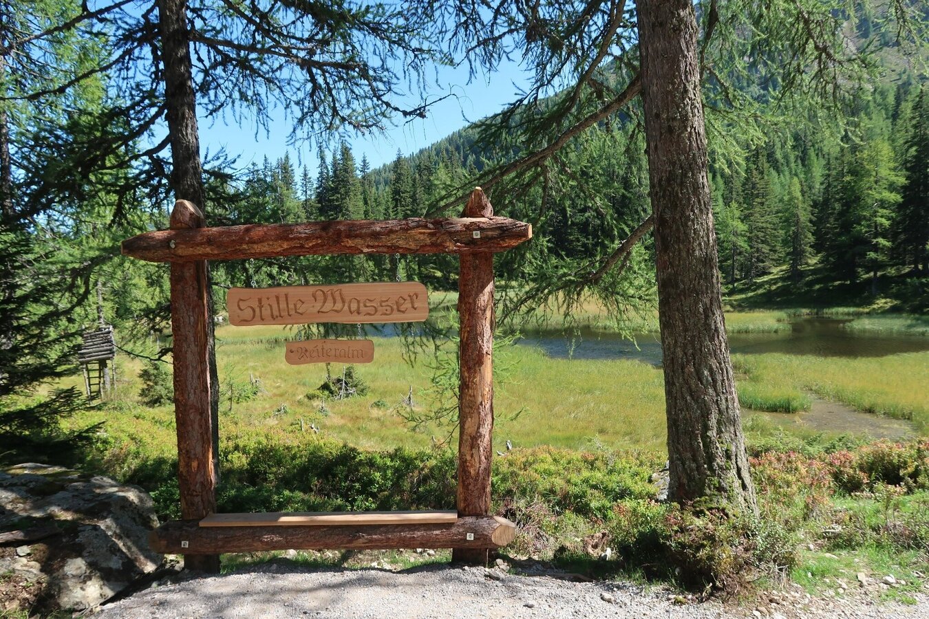
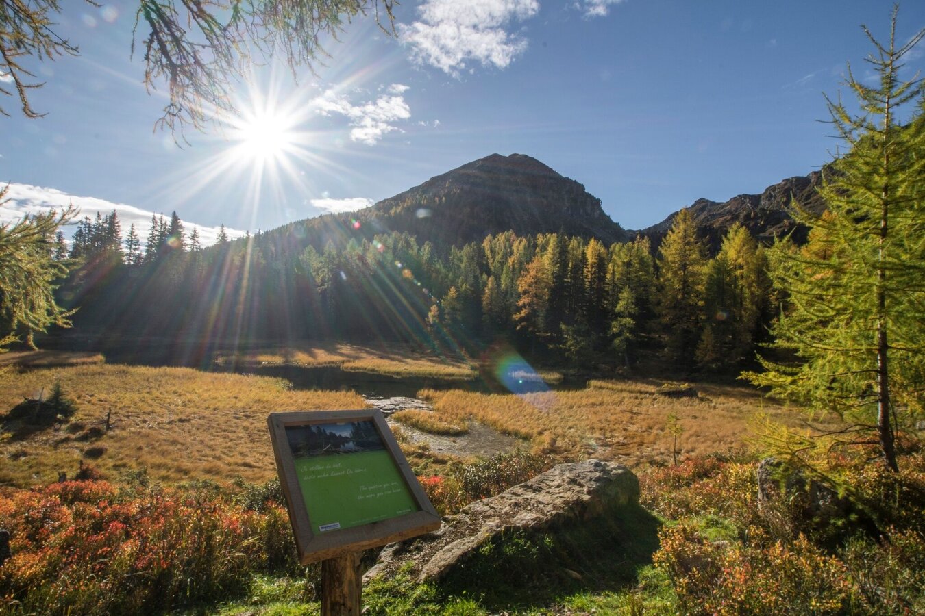
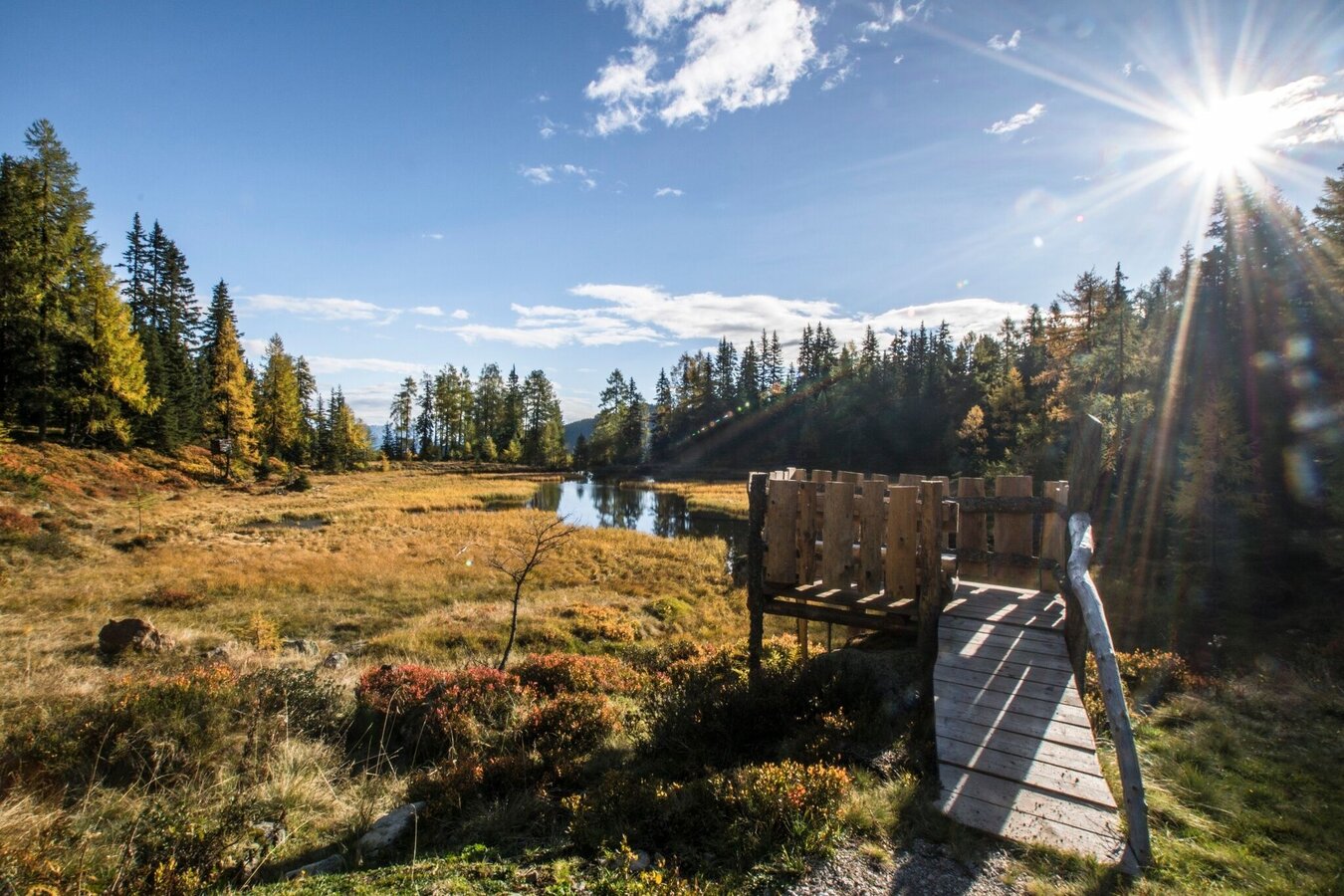
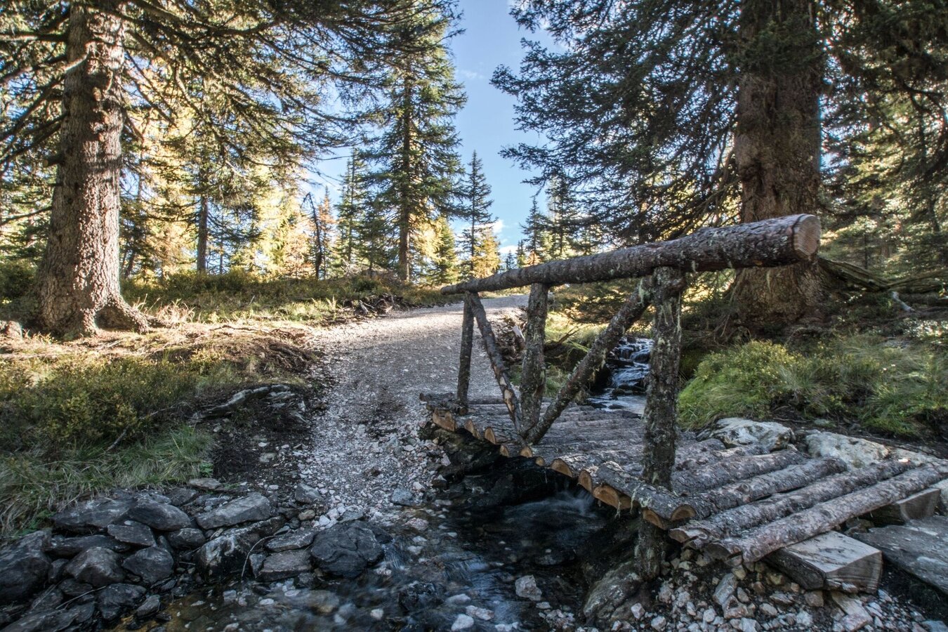
The tour
Map, elevation profile & further information
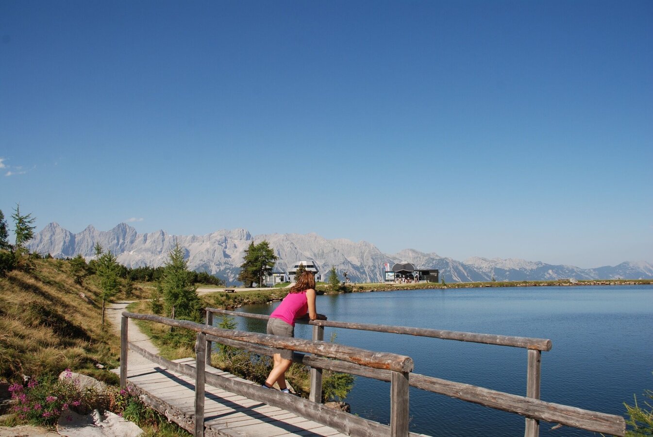
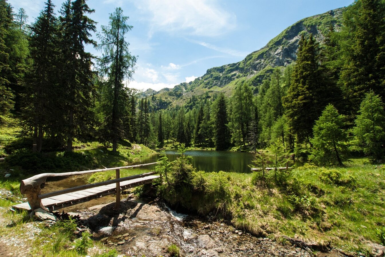
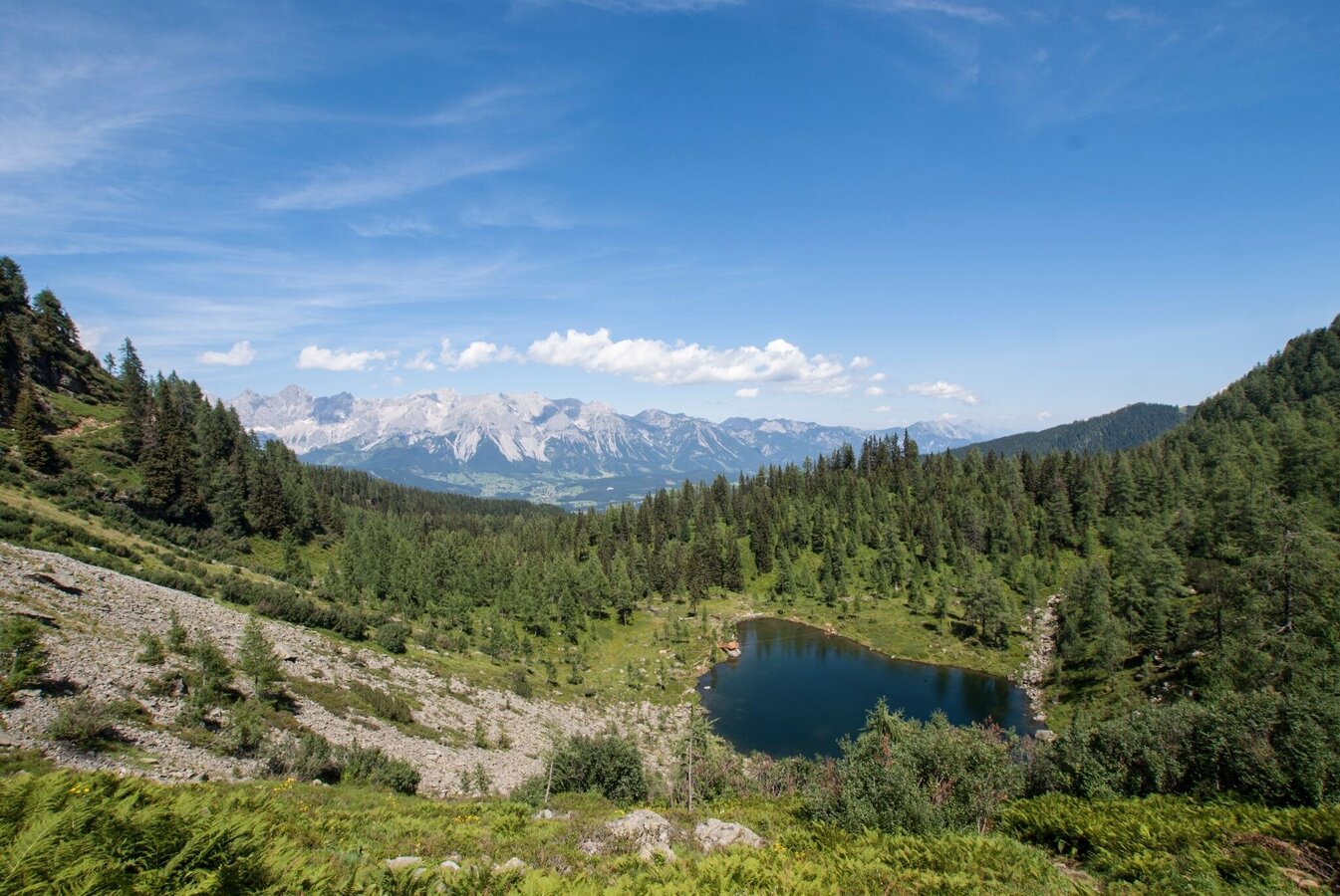
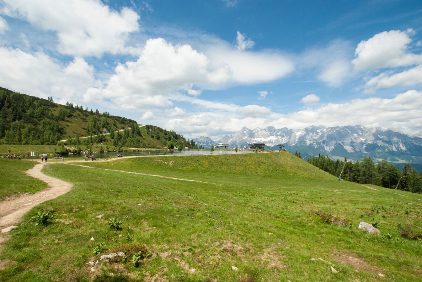
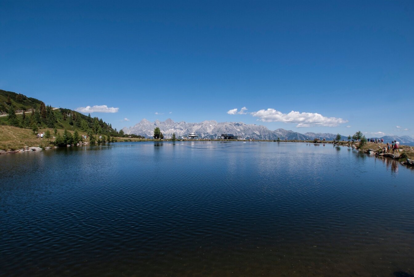
The starting point for this easy hike is at the mountain station of the Preunegg-Jet at Reiteralmsee. From there, trail no. 66 leads past the lake and then briefly across the alpine meadow. The trail then enters a sparse forest where, after a few minutes, trail no. 66a branches off to the left towards Untersee.
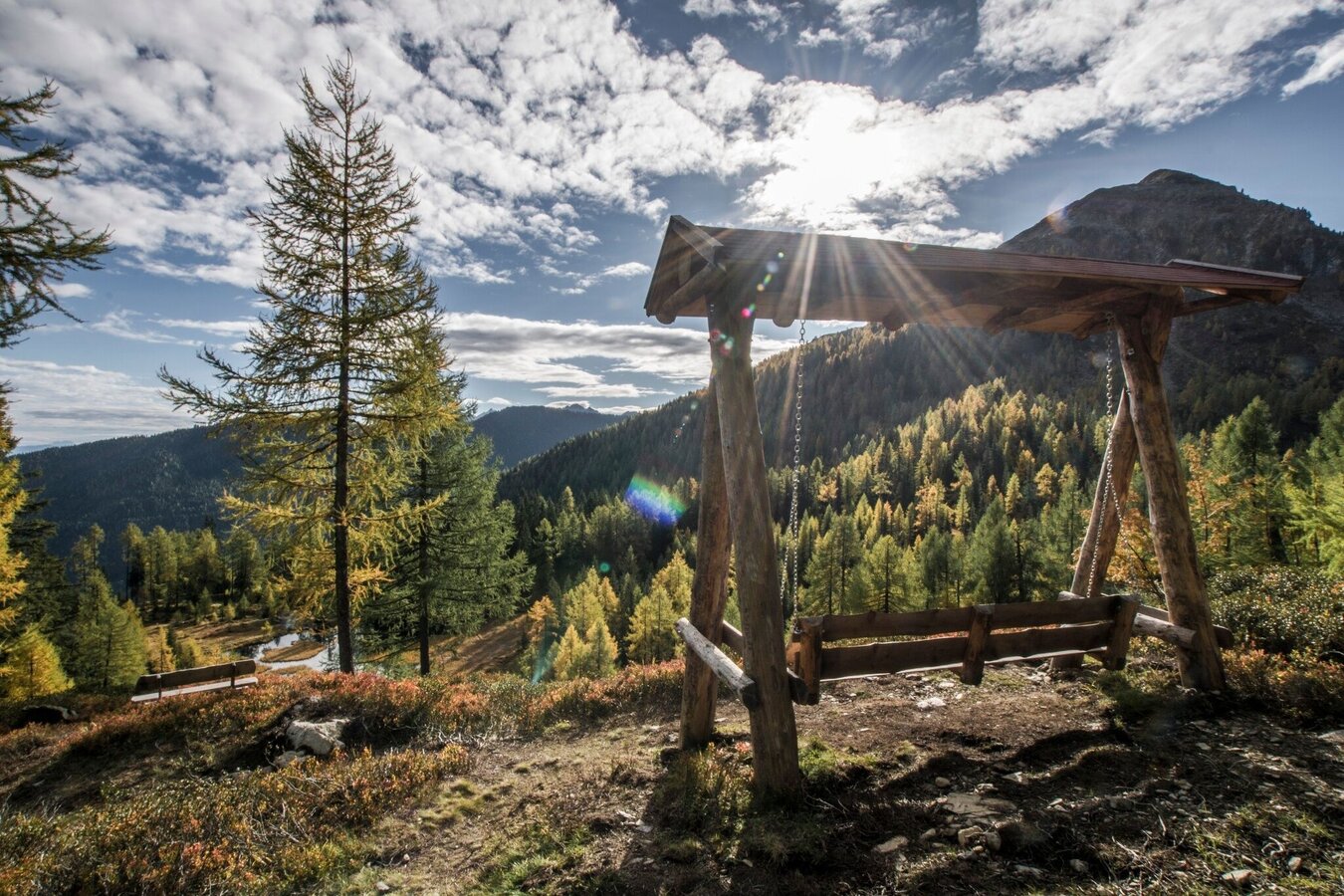
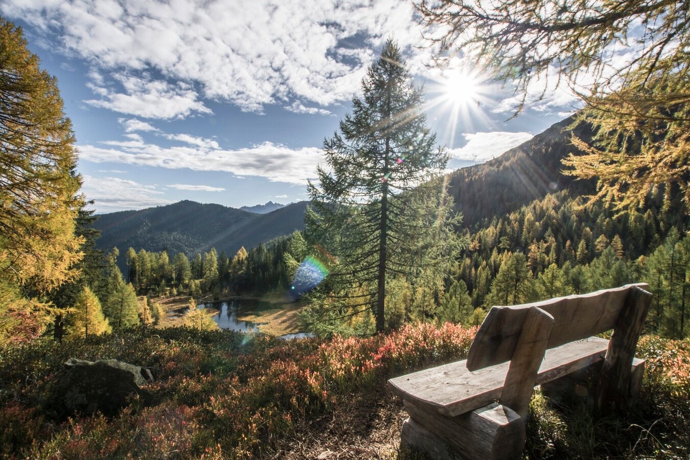
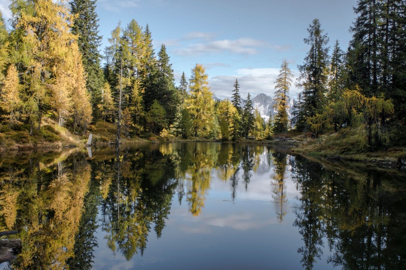
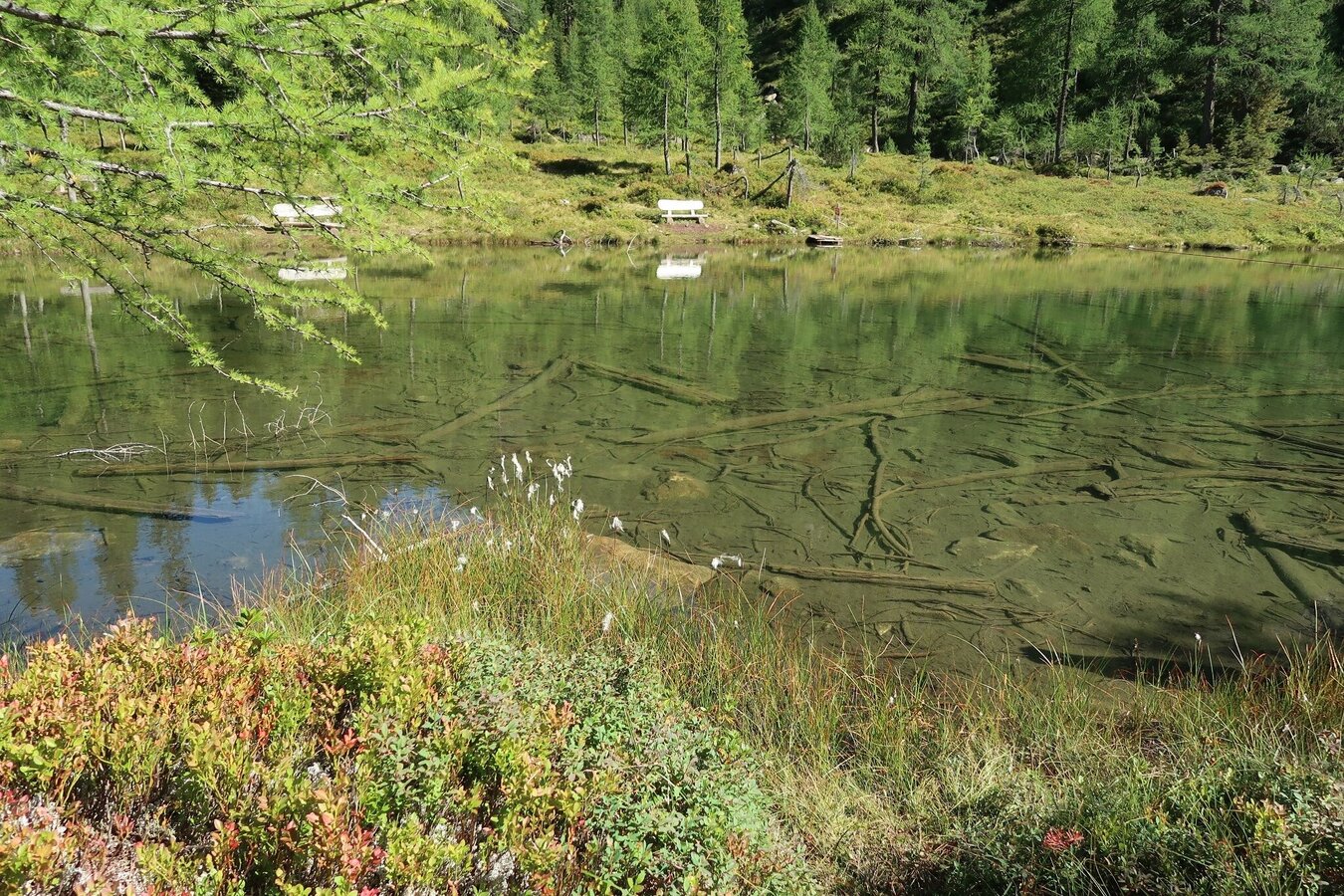
Follow the path downhill over a few hairpin bends until you reach a small lake after a short hike - affectionately called ‘Glackerch’ by the locals. Continue through the sparse forest to another small lake - the Waldsee. Here, an idyllic bench invites you to linger.
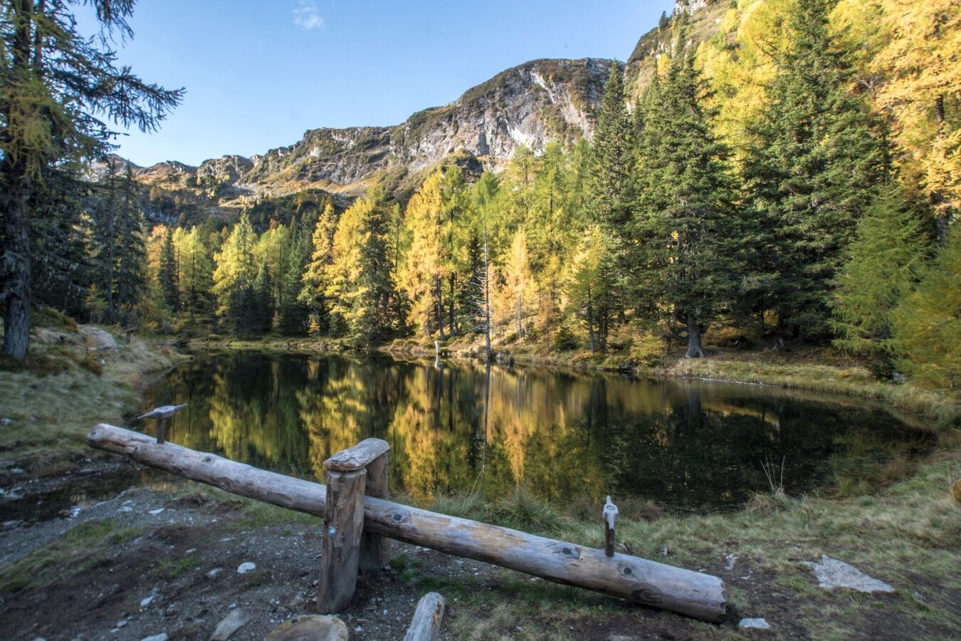
After a few minutes' hike, you will finally reach Untersee. The way back is via the same route. However, if you prefer, you can also take the Reiteralm circular route. To do this, simply walk along the shore of the Untersee and ascend the hiking trail to the Reiteralm circular trail on the western shore.
Parking lots are available at:
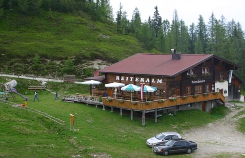
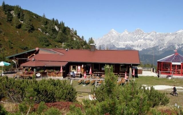
- Eiskarhütte Inn, Reiteralm
- Reiteralmhütte chalet, Reiteralm
- Gasselhöh'-Hütte chalet, Reiteralm
- valley terminal of Preunegg-Jet cable-car
Take the bus of Ramsauer Verkehrsbetriebe (Tuesday, Friday and Sunday) from Ramsau and Pichl-Vorberg to the valley terminal of Preunegg-Jet cable-car. From here continue by cable-car to Reiteralm (operating times at www.reiteralm.at).
- Bus schedule of Ramsauer Verkehrsbetriebe: www.rvb.at
Changes in weather patterns, quick falls in temperature, thunderstorms, wind, fog and snow are some of the dangers that can be encountered on a hiking tour. Hosts of alpine huts and mountain refuges have a lot of experience in the mountains and can give good advice about weather and the trails. Poor equipment, overestimation of one's own capabilities, carelessness, poor personal constitution and/or wrong judgement can lead to critical situations. In case of thunderstorms: avoid summits, ridges and steel ropes.
GPS data and orienteering
Available GPS data - just like hiking maps - is only a guidance for orientation and can never depict a trail exactly with all its details. Especially at dangerous spots it is essential to judge on site how to proceed.
In an emergency please call:
- 140 - for Alpine emergencies (all over Austria)
- 112 - European GSM emergency number
The combination of the hike to Untersee lake with the Reiteralm circular trail or the hike to Spiegelsee lake is particularly beautiful.
Tourismusinformation: www.schladming.com
Infos über Busverbindungen: www.rvb.at
Infos zu Gondelbetriebszeiten: www.reiteralm.at
- Hiking map ‘Hiking WEST’ available at the information offices in the region.
- Schladming hiking map, 1:25,000, available at the Schladming information office.
- Hiking map Schladming-Dachstein, 1:50,000, available at the information offices in the region.
- Hiking guide Schladming-Dachstein by Herbert Raffalt, available at the information offices in the region.


