

Round tour Neualm - Duisitzkarsee Lake
Tour description
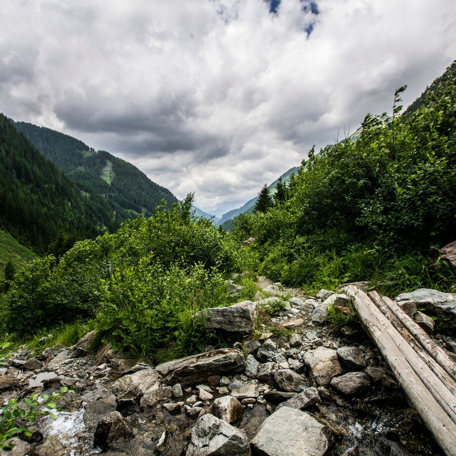
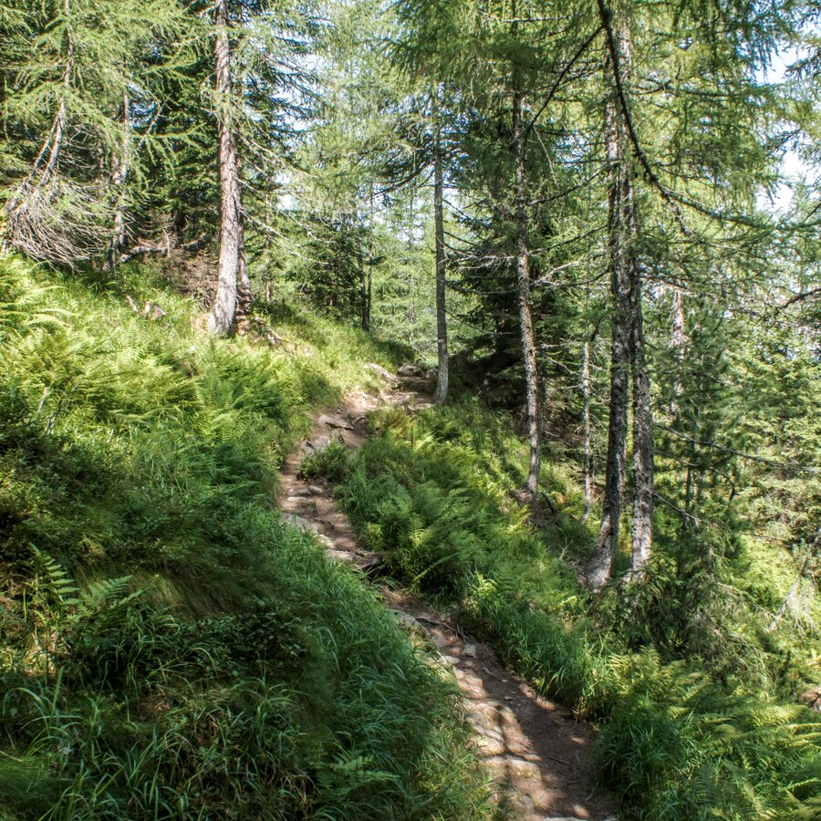
From Eschachalm to Neualm and from Duisitzkar it is possible to also walk along a logging road instead of a classic hiking trail. All other parts of the tour are classic hiking trails with tree roots and forest floor.
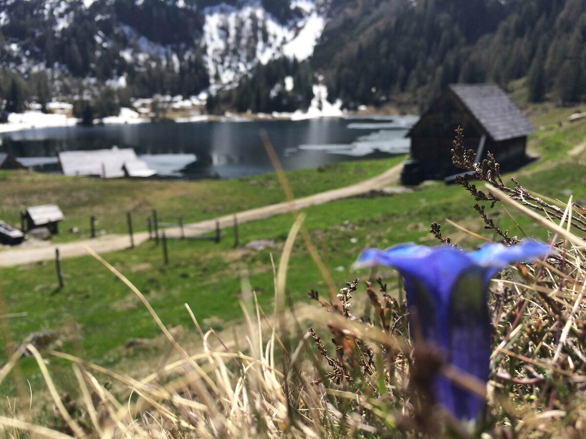
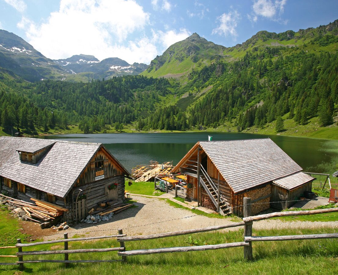
Duisitzkarsee Lake is a picturesque mountain lake framed by an impressive mountain panorama from South-East to West to North. In the warm summer months of July and August the lake often is warm enough to go for a swim. Be considerate of the fish in the lake and avoid, for example, stirring up dust. In addition, please do not go into the water with sunscreen, as this can upset the sensitive ecology of the lake.
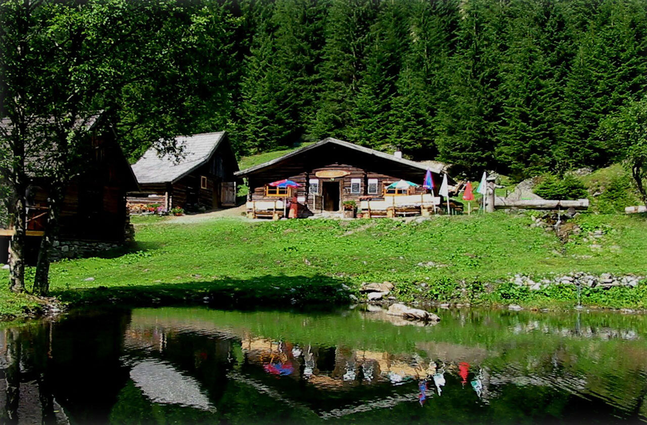
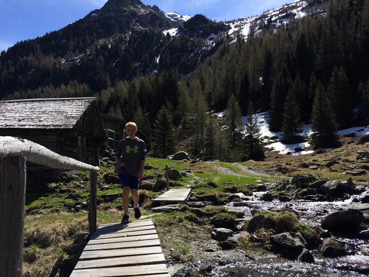
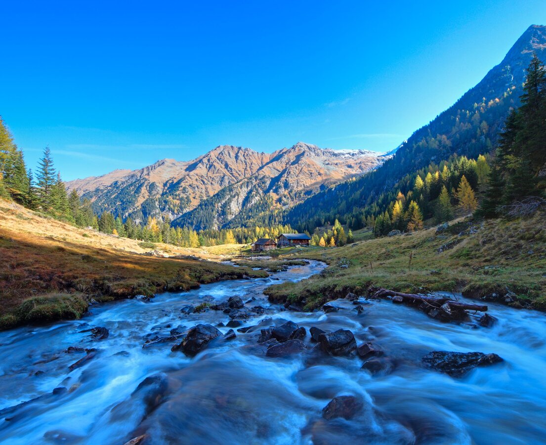
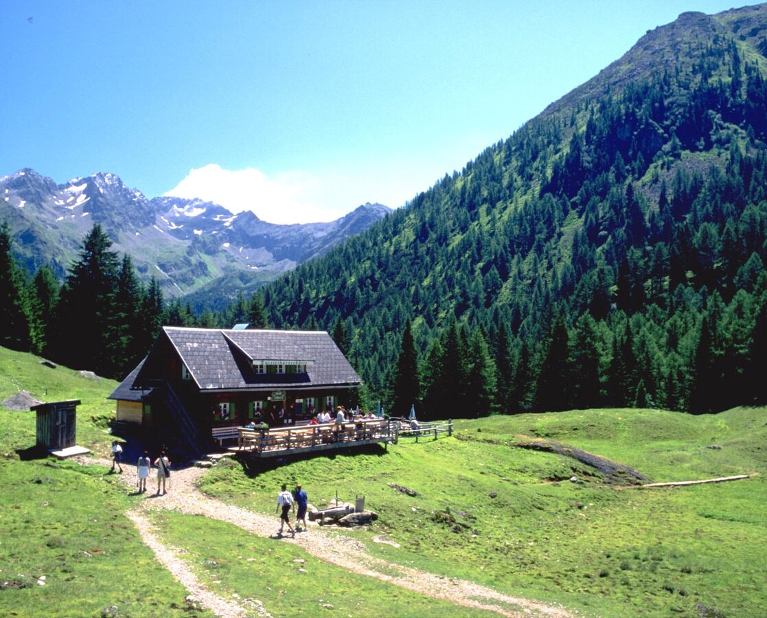
Directly at the lake the Duisitzkarseehütte and the Fahrlechhütte invite you to grab a drink and a snachk. At the hiking trail head Eschachalm there is another option for a rest - Eschachhütt'n.
The tour
Map, elevation profile & further information
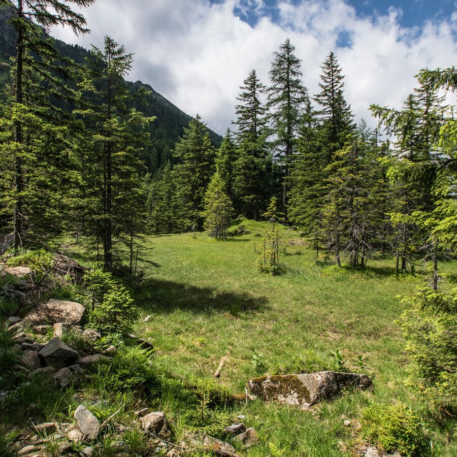
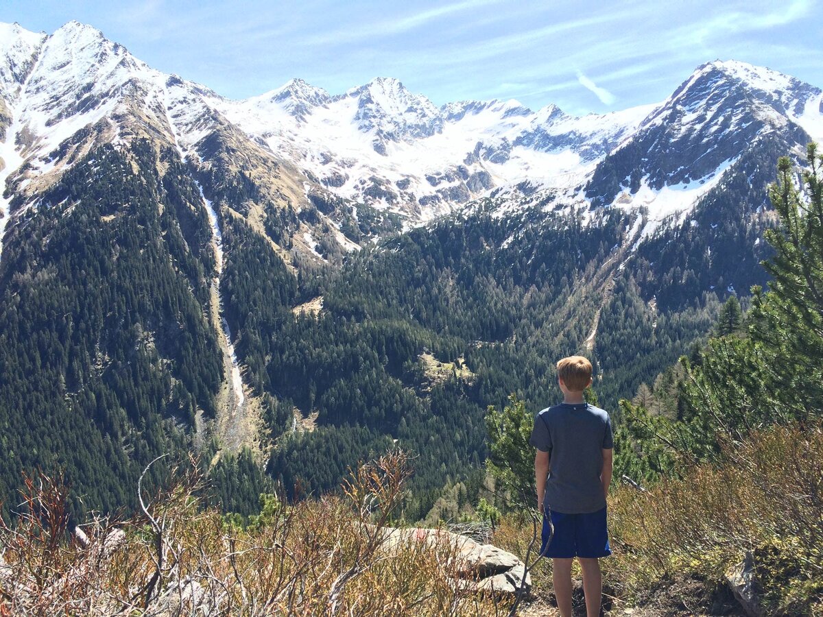
Starting point for the tour is at the hiking trail head Eschachalm in the Obertal valley (1,211 m). Either on a logging road or along a hiking trail you start your tour towards Neualm and Keinprechthütte. The trail ascends steadily but not very steep to Neualm (1,618 m), which takes about 1 1/2 hours.
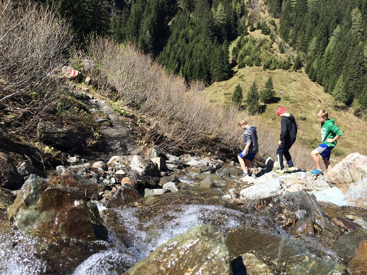
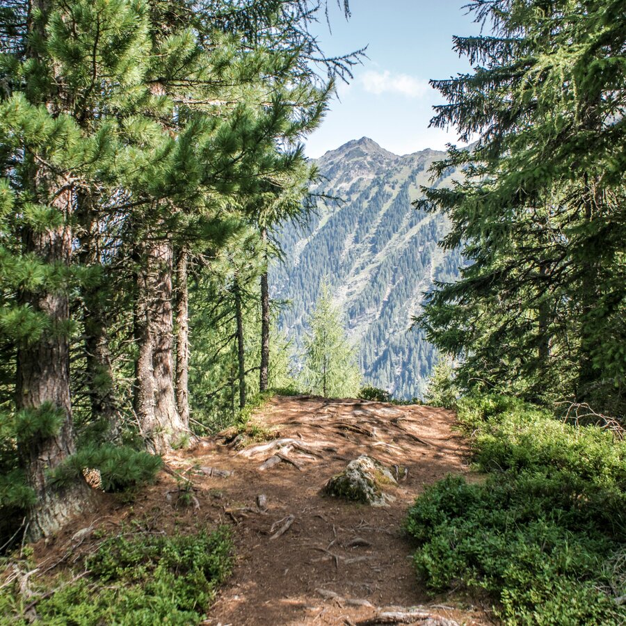
After a short break at the Obertalbach creek you turn-off right and head out of the valley again towards Duisitzkarsee Lake. The trail between Neualm and Duisitzkar demands shurefootedness due to the many tree roots crossing the trail as well as some steeper sections of the trail. Though, the trail is a steady up and down without big differences in altitude. The hiking trail nestles to the slopes of the Duisitzer Hahnkamp and takes you through a beautiful timber forest and extensive fields of dwarf pines. After another 1 1/2 hours you reach Duisitzkarsee Lake at an altitude of 1,640 m.
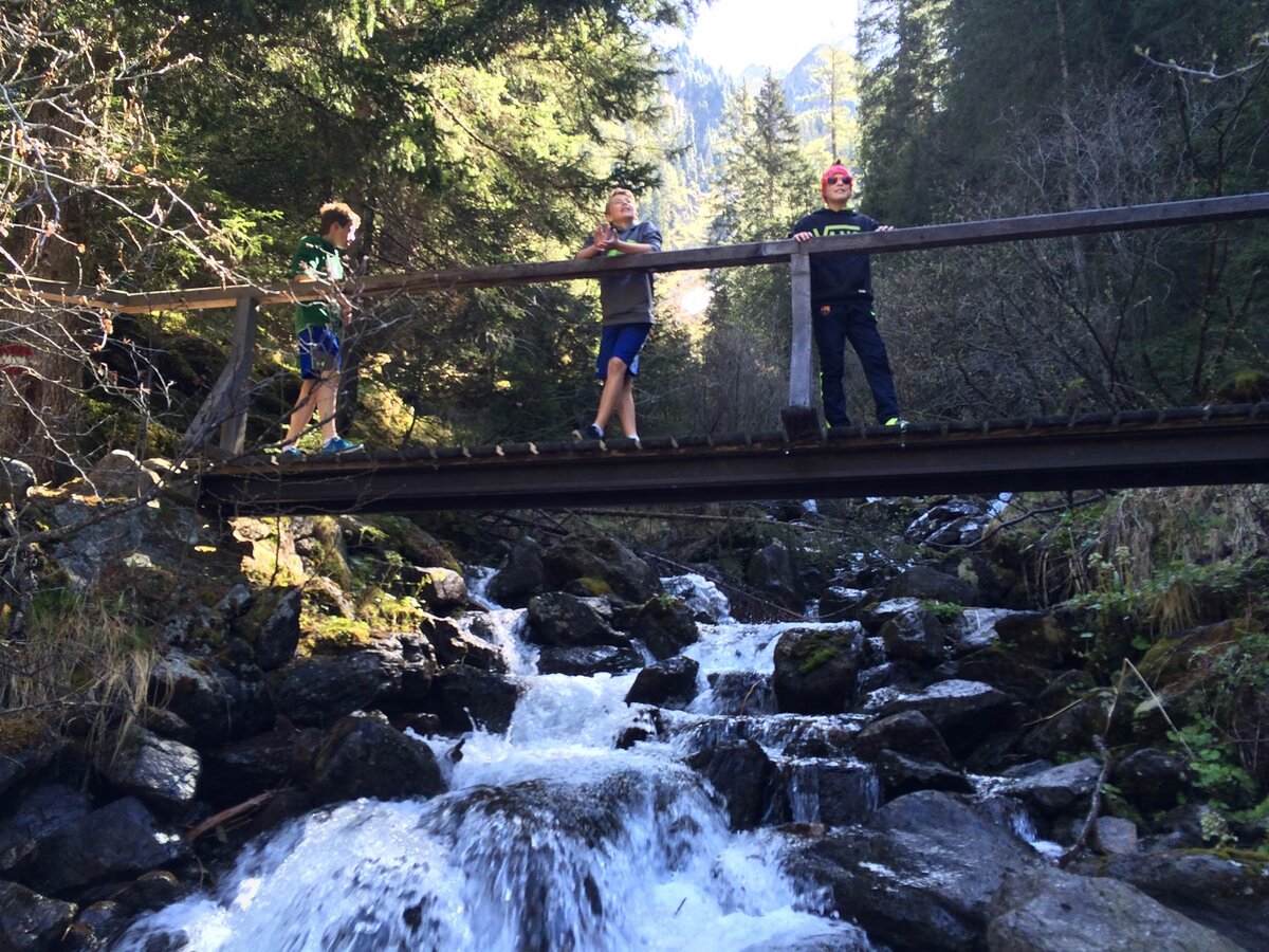
Starched by the snacks of the huts you begin the last section of the tour - the descent from Duisitzkarsee Lake back to the trail head Eschachalm. You can choose whether you want to descend via a logging road or the nice (but a little steeper) hiking trail. After another 1 1/2 hours you reach Eschachalm again.
Changes in weather patterns, quick falls in temperature, thunderstorms, wind, fog and snow are some of the dangers that can be encountered on a hiking tour. Hosts of alpine huts and mountain refuges have a lot of experience in the mountains and can give good advice about weather and the trails. Poor equipment, overestimation of one's own capabilities, carelessness, poor personal constitution and/or wrong judgement can lead to critical situations. In case of thunderstorms: avoid summits, ridges and steel ropes.
GPS data and orienteering
Available GPS data - just like hiking maps - is only a guidance for orientation and can never depict a trail exactly with all its details. Especially at dangerous spots it is essential to judge on site how to proceed.
In an emergency please call:
- 140 - for Alpine emergencies (all over Austria)
- 112 - European GSM emergency number
From the valley head at Eschachalm further into Obertal the landowners do not allow to bring along dogs.
Info about buses: www.planai.at
- Hiking map ‘Hiking WEST’ available at the information offices in the region.
- Schladming hiking map, 1:25,000, available at the Schladming information office.
- Hiking map Schladming-Dachstein, 1:50,000, available at the information offices in the region.
- Hiking guide Schladming-Dachstein by Herbert Raffalt, available at the information offices in the region.


