

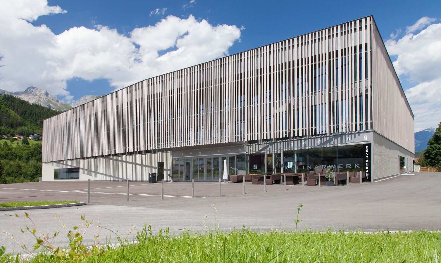
Roman Tour

Sperre Ennswegerl beim Vital
Tour description
The tour
Map, elevation profile & further information
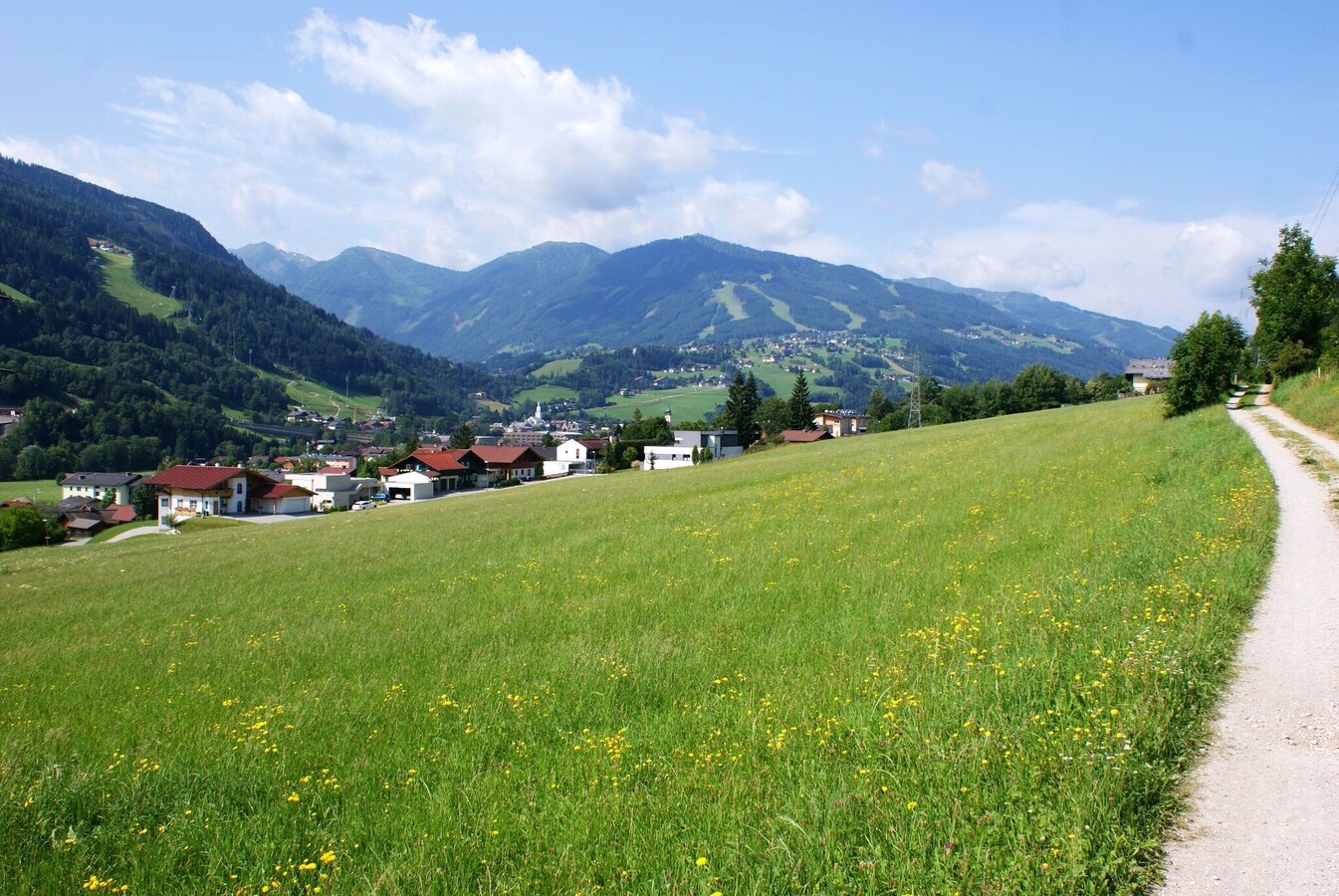
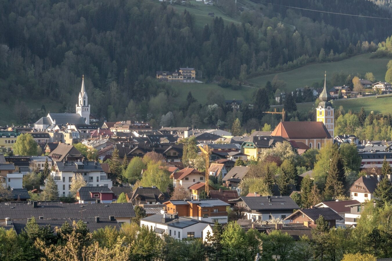
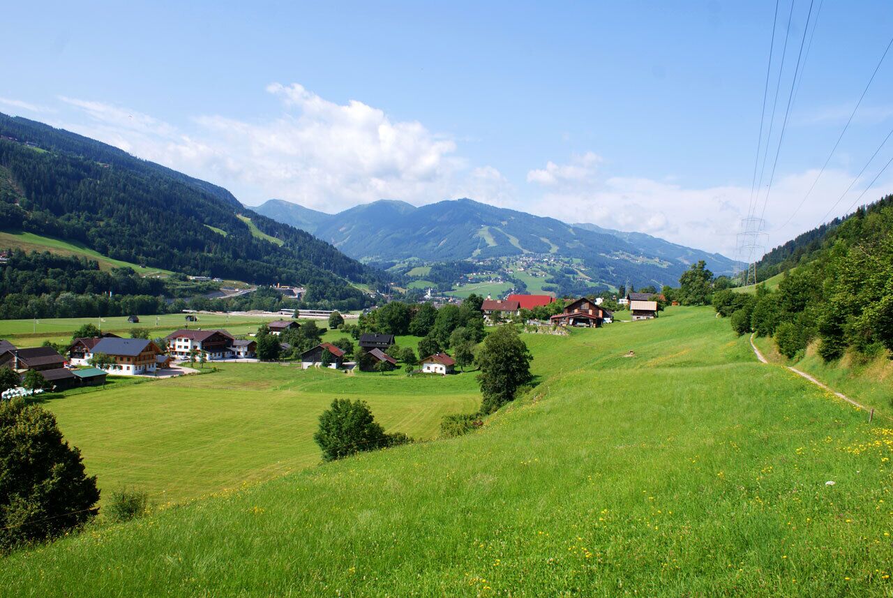
From the trail head at Planai stadium you walk towards Augasse street (past Hotel Barbara) and on to the public swimming pool Schladming. You then pass through between hotels Falkensteiner and Royer until you reach the river Enns where you make a left and follow the road to the bridge. Walk across the bridge and the rail road and then walk straight on, uphill through a short forest section. You now reach Hochstraße road, which you follow to the right towards East. You pass by nice farm houses in the suburb of Mauterndorf and walk a beautiful meadow path until you reach Moserhof. Here you walk downhill to the junction Birnberg/Haus/Schladming and from there to Lehenbrücke bridge at the river Enns. Now you can choose whether you want to walk back to Schladming on the Southern or Northern bank of the river Enns.
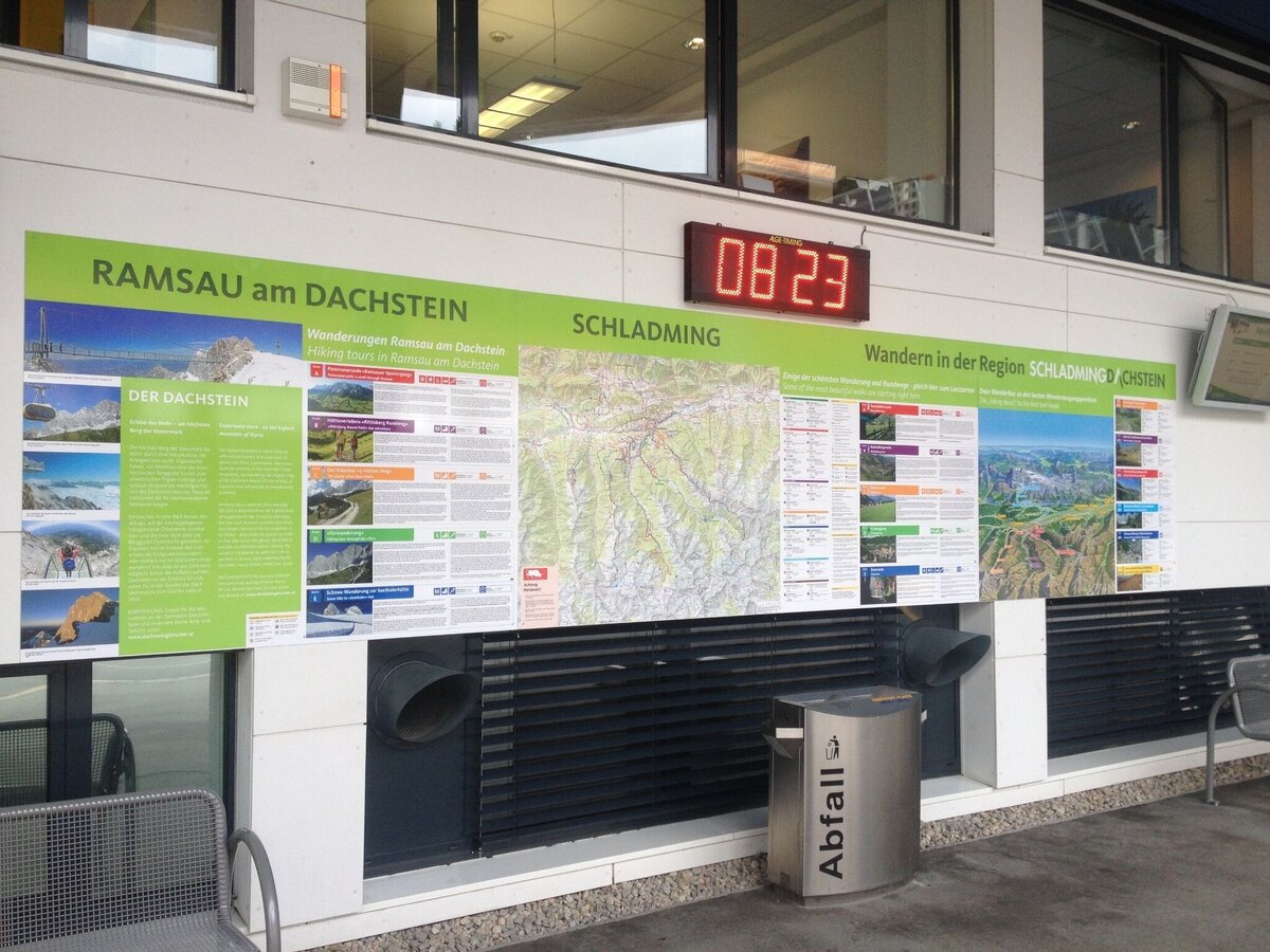
In the town of Schladming you can take the Citybus. From Rohrmoos take the Planai buses to Planet Planai, from Ramsau take the buses of Ramsauer Verkehrsbetriebe.
- Citybus and buses from Rohrmoos - www.planaibus.at
- Buses from Ramsau - www.rvb.at
Information about bus schedules: www.planaibus.at
360° drone images
Get yourself an overview with our 360° drone images:
- View over Untere Klaus: https://vonoben.schladming-dachstein.at/sommer/index.php?S=219
- Hiking map ‘Hiking WEST’ available at the information offices in the region.
- Schladming hiking map, 1:25,000, available at the Schladming information office.
- Hiking map Schladming-Dachstein, 1:50,000, available at the information offices in the region.
- Hiking guide Schladming-Dachstein by Herbert Raffalt, available at the information offices in the region.


