

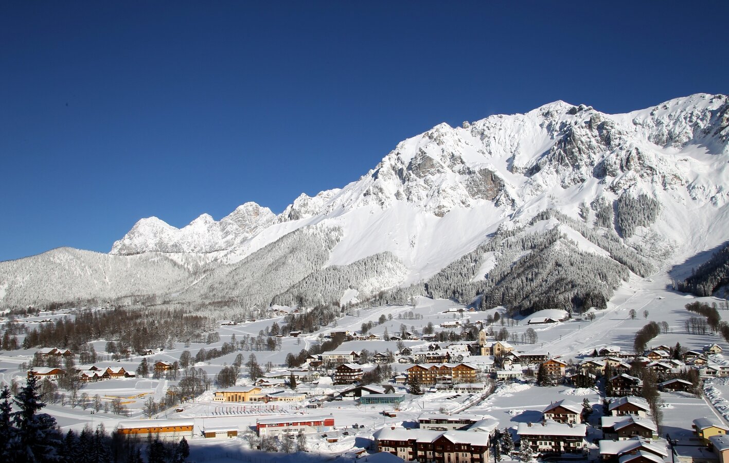
Ramsau am Dachstein
Panorama Loop Trail
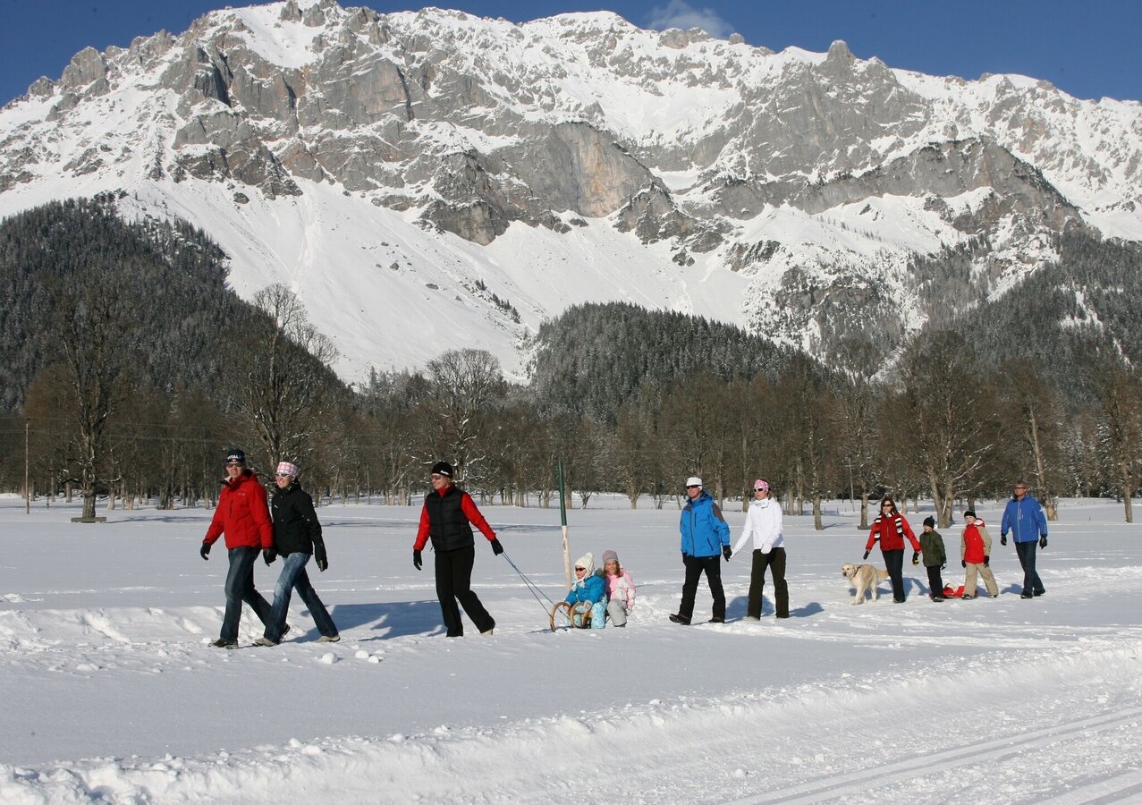
Winter walking
Data:
Tour description
Ramsau’s sun plateau offers ideal surroundings for winter walks at the foot of the Dachstein - separated into winter walking trails and paths. From the beginning of the winter season, the paths/tracks will be groomed and open to walkers as well as horse-drawn sleighs.
The tour
moderate
Starting point
Toll Station (Schildlehen/Dachsteinstr.)
Destination
Lodenwalke (Rössing)
Tour characteristics
Fitness (4/6)
Information
Distance: 16.5 km
Duration:
5 h 30 min
Ascent: 205 m
Descent: 465 m
highest point: 1214 m
Best season
Jan
Feb
Mar
Apr
May
Jun
Jul
Aug
Sep
Oct
Nov
Dec
Map, elevation profile & further information
The Panorama Loop Trail (green markings), also known as Panoramarunde, is the go-to route in Ramsau as it functions as a connecting path across Ramsau's plateau. This long walk will give you a beautiful first impression of the village as it connects Schildlehen/Dachsteinstraße (toll station), Ramsau Ort, Ramsau Kulm, Vordere Ramsau, and Rössing with one another. The walk finishes at the Lodenwalke in Rössing.
From the west:
Tauern Autobahn (A 10) to Knoten Ennstal - turnoff direction Graz/Schladming - stay on the Ennstal-Bundesstraße (B320) for approx. 20 km until Schladming - take the turnoff for Ramsau.
From the north:
Pyhrn Autobahn (A 9) direction Liezen - follow the Ennstal-Bundesstraße (B320) to Schladming - turnoff Ramsau.
Congress Centre Ramsau OrtYou can find the RVB public bus schedule here.
Hiking Attire
You can find all tours collected and described in our Winter Leisure Map West. This is available free of charge from the Ramsau information office.


