

Haus-Aich-Gössenberg
Markt Haus - Kalvarienberg - Markt Haus
Hiking trail
Data:

Tour description
Easy hike through the village of Haus im Ennstal and past numerous sacred wayside crosses and the parish church of Haus im Ennstal. Suitable as a walk for everyone.
The tour
easy
Starting and end point
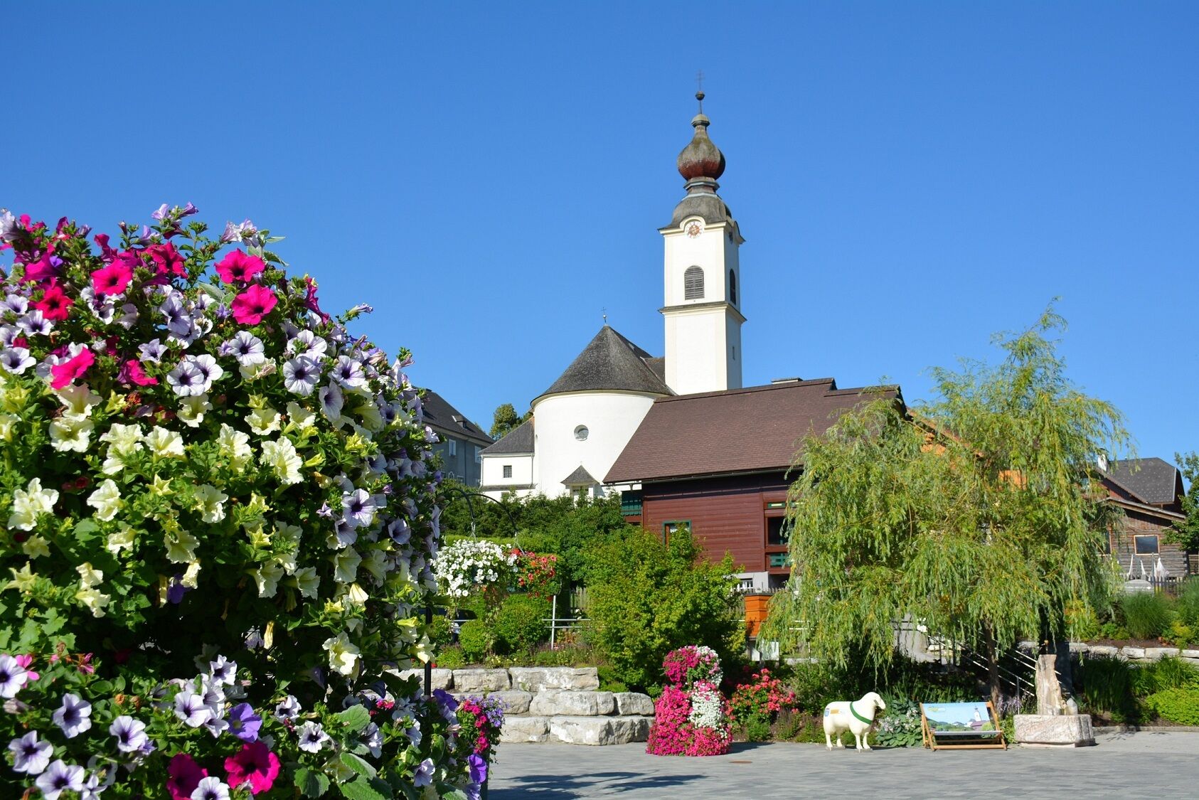
Schlossplatz in Haus
Tour characteristics
Information
Distance: 3.04 km
Duration:
50 min
Ascent: 120 m
Descent: 120 m
highest point: 860 m
Best season
Jan
Feb
Mar
Apr
May
Jun
Jul
Aug
Sep
Oct
Nov
Dec
Map, elevation profile & further information
Our short hike starts at the Schlossplatz square in the market town of Haus. From there, follow the road along the Schlossplatzweg past the Steffl Bäck coffee house. We reach Marktstraße and follow it to the first crossroads. There we turn left into Kirchengasse and follow it uphill to Kalvarienbergstraße. We follow this road until we reach the edge of a forest. The route winds uphill to Oberhausbergstraße. The way back takes us downhill along Oberhausbergstraße past the Panoramahotel Gürtel and the Haus parish church back to Schlossplatz.
Via the Ennstalbundesstraße (B320) to the market town of Haus im Ennstal
- directly at the Schlossplatz: parking garage with costs (at the city hall)
- free parking above the schools (about 200 m away)
- public bus: Postbus (L900) - Exit: Haus Ort
- End of May to mid October: Planaibus (Line: Schladming - Haus - Steirischer Bodensee)
sturdy shoes
Discover the different wayside crosses along the way.Here you will find all hiking maps and important brochures to download.


