

Haus-Aich-Gössenberg
Birnberger Sonnenweg
Winter walking
Data:

Tour description
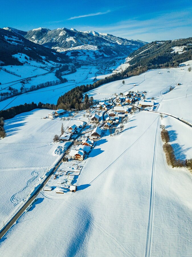
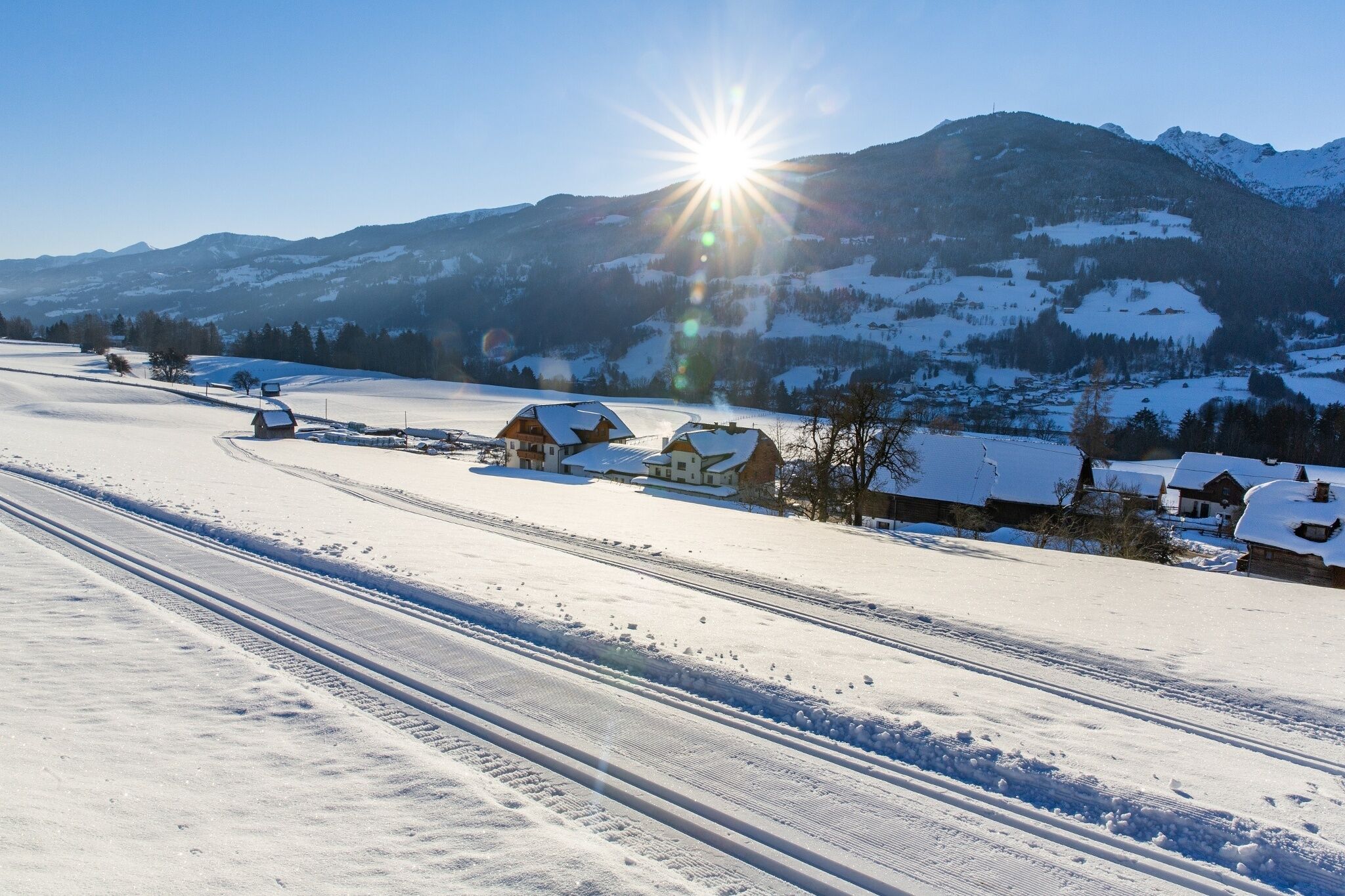
Winter hiking on the sunny Birnberg plateau with a magnificent view of the ski mountains of the Schladminger 4-mountain-skiswings.
The tour
moderate
Starting and end point
Inn Grunderhof at Birnberg
Tour characteristics
Fitness (4/6)
Skills (3/6)
Information
Distance: 7.96 km
Duration:
3 h
Ascent: 186 m
Descent: 186 m
highest point: 902 m
Best season
Jan
Feb
Mar
Apr
May
Jun
Jul
Aug
Sep
Oct
Nov
Dec
Map, elevation profile & further information
The sunny Birnberg plateau invites you to take a leisurely walk past the beautiful farmsteads. Starting point: Birnberg with the inns Grundnerhof and Zaunerhof. Continue in eastern direction until you reach the Pircherhof. Continue marching to the Flatzerhof. After the Flatzerhof, the road turns right to Weißenbach, but we keep left and hike along the Höhenweg back to Birnberg village.
From Birnberg to Ramsau Leiten Duration: approximately 1 hour starting from the center of Birnberg, follow the road up the hill to the crossroads Davidbauer towards Ramsau am Dachstein (inn Timmelbauer) to the Ramsauer "Leitengebiet".
Ennstalbundesstraße (B320) - Haus im Ennstal - BirnbergNear by inn/pension Grundnerhof
Unfortunately there is no public transport on the Birnberg.
- Sturdy shoes
- Possibly hiking poles and rain protection
- Here are all the hiking maps and important brochures to download.
Are you looking for sun, snow and peace? Up on the Birnberg!Tour at your own risk! No liability is accepted for any alpine dangers (weather, etc.) that may occur. Weather changes, rapid drops in temperature, thunderstorms, wind, fog and snow fields are objective dangers and require the correct behaviour on the way. In an emergency, please dial the following emergency numbers:
No. 140 - for alpine emergencies - Austria-wide
No. 112 - Euro emergency call GSM emergency call service
No. 140 - for alpine emergencies - Austria-wide
No. 112 - Euro emergency call GSM emergency call service


