

Around the Kampspitze
Tour description
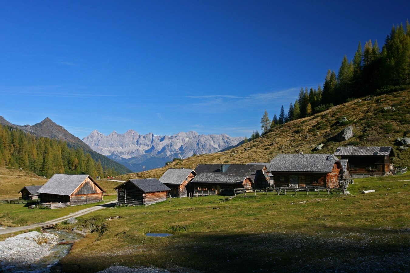
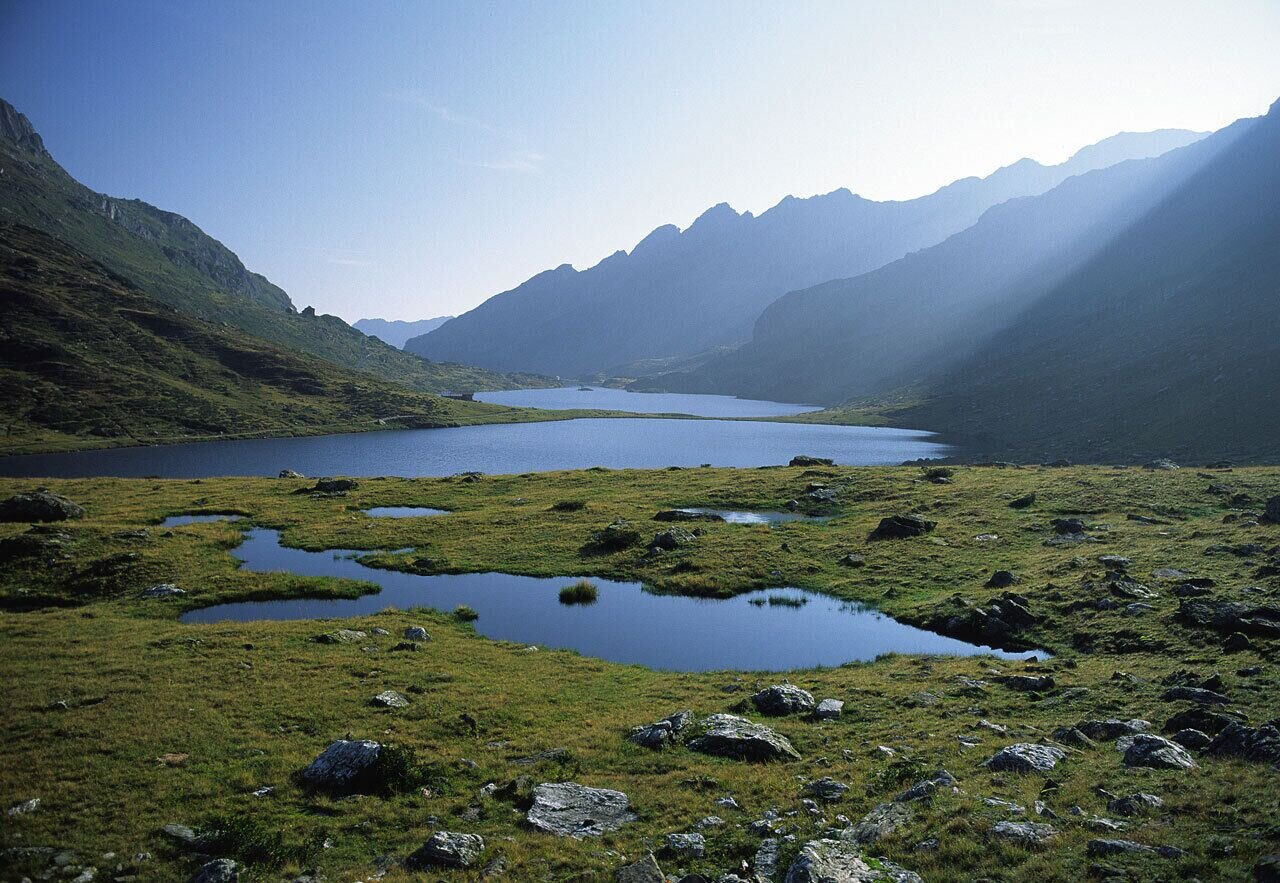
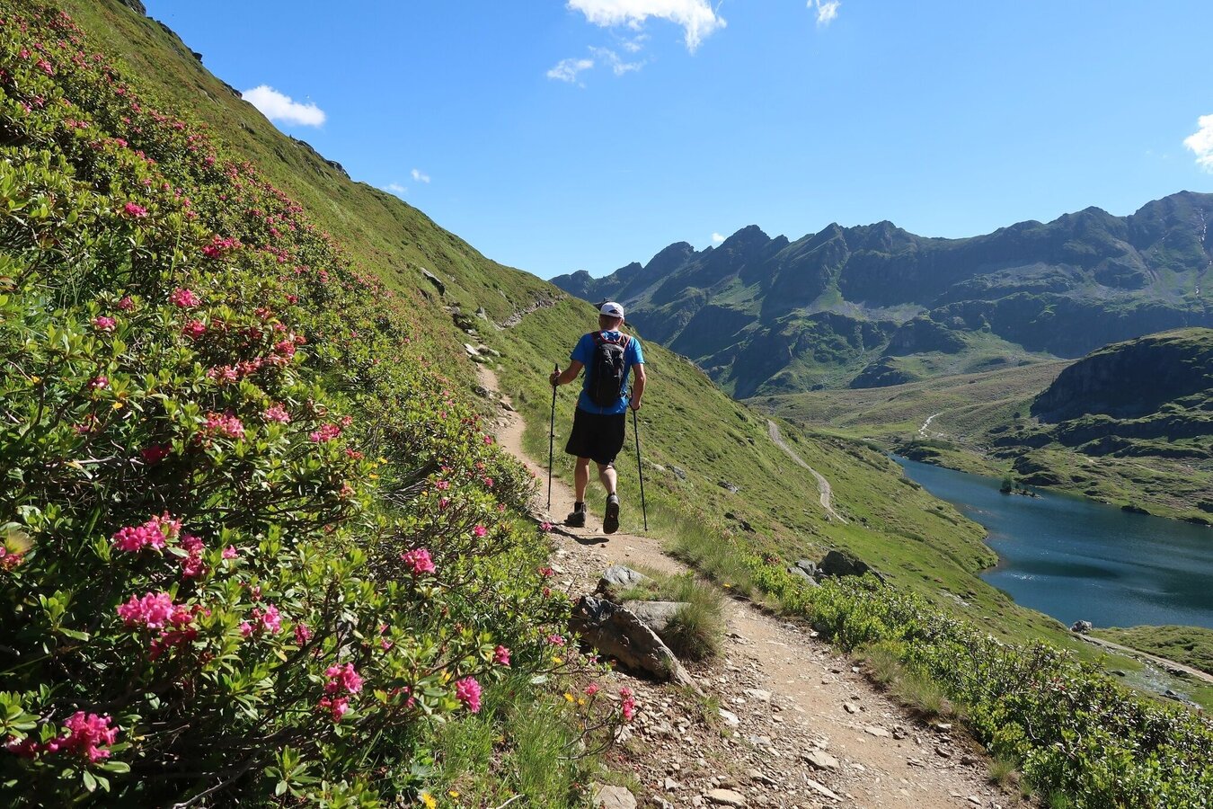
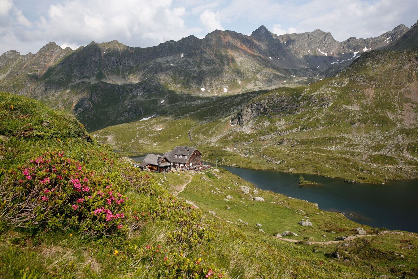
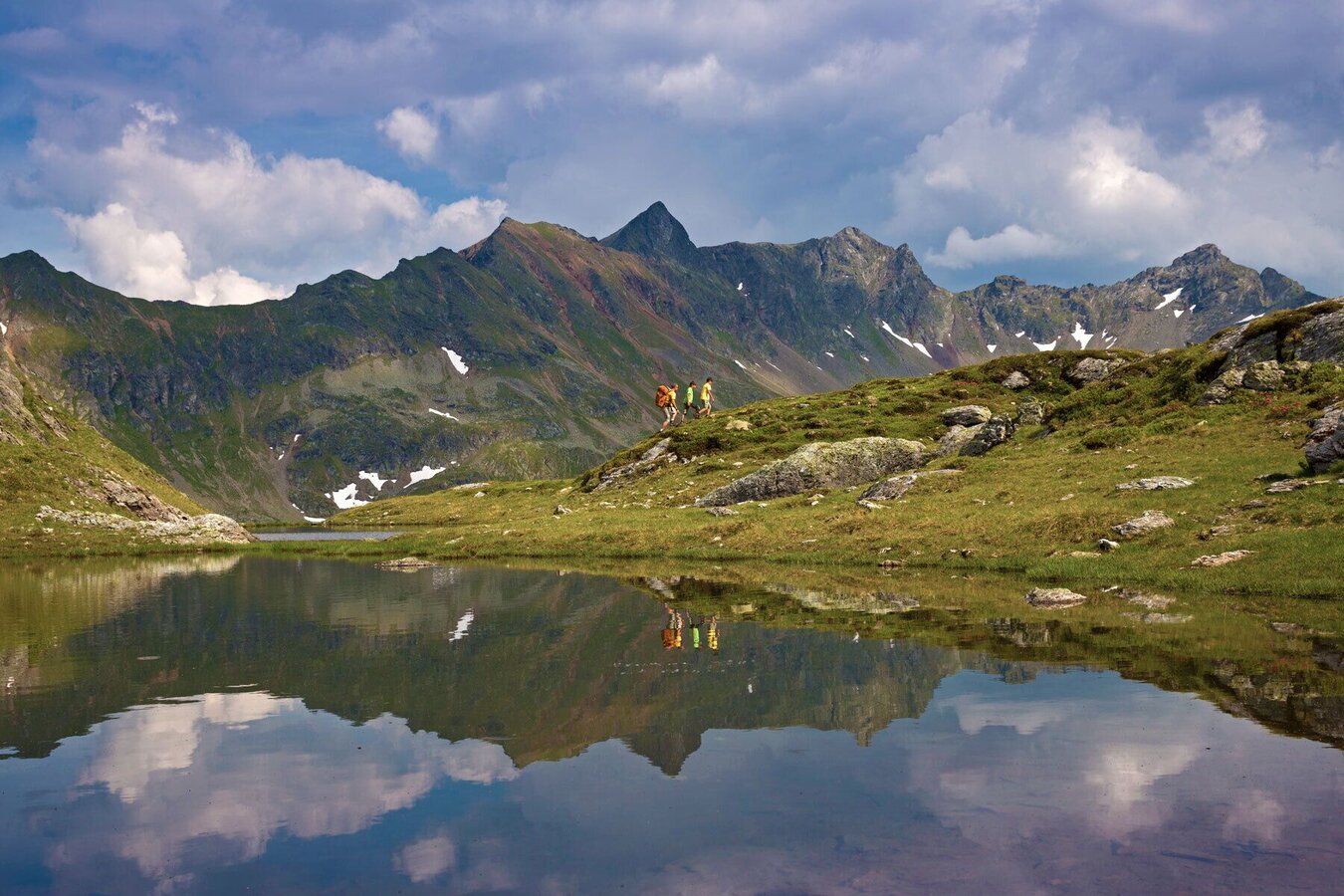
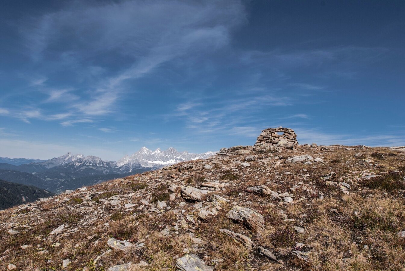
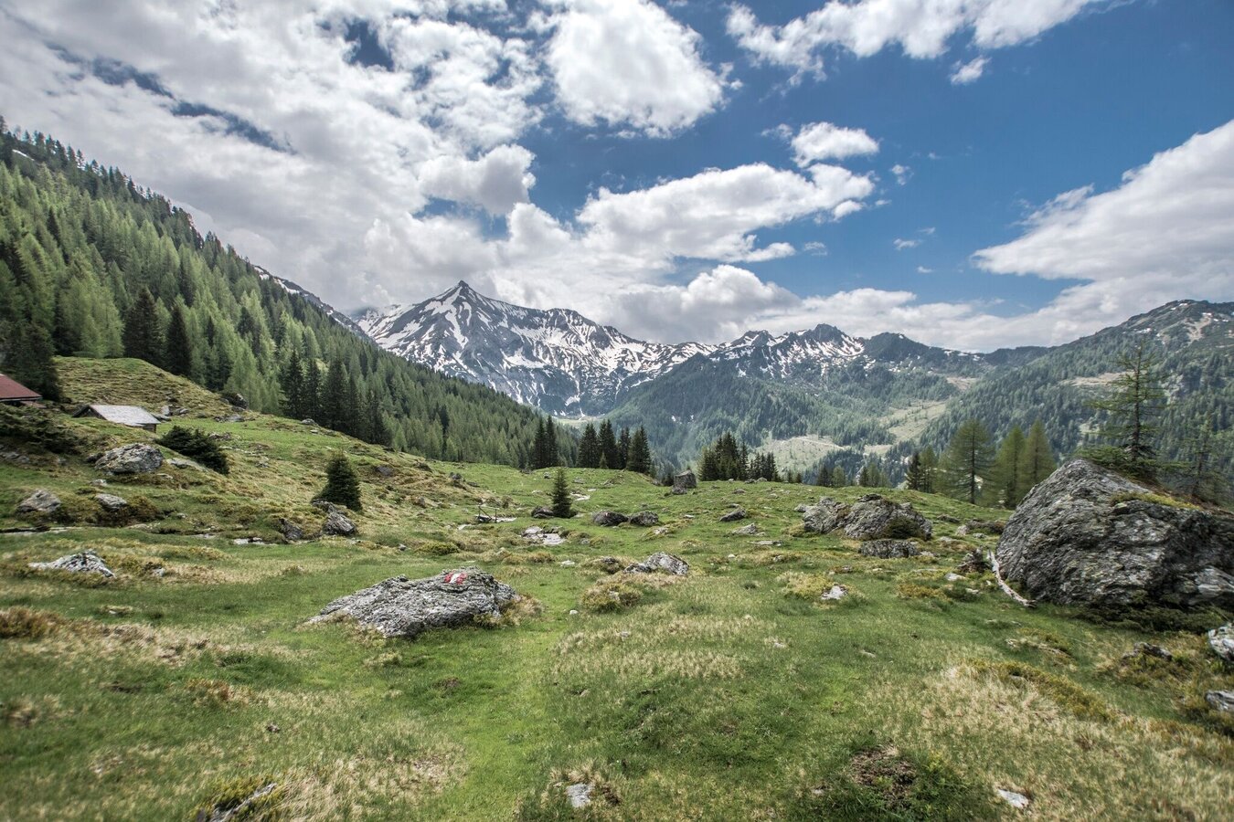
This beautiful hike takes you into Alpine grounds and passes by several crystal clear mountain lakes and tarns - the Giglachsee Lakes, the Klammsee Lake and the Brettersee Lake. Several refreshment stops are waiting along the route and you will be marvelled by the panoramic views of the Giglachkar cirque and the Obertal and Preuneggtal valleys.
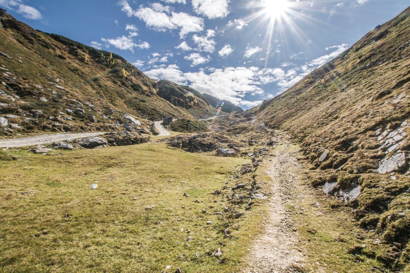
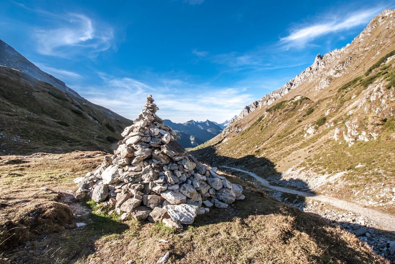
The tour
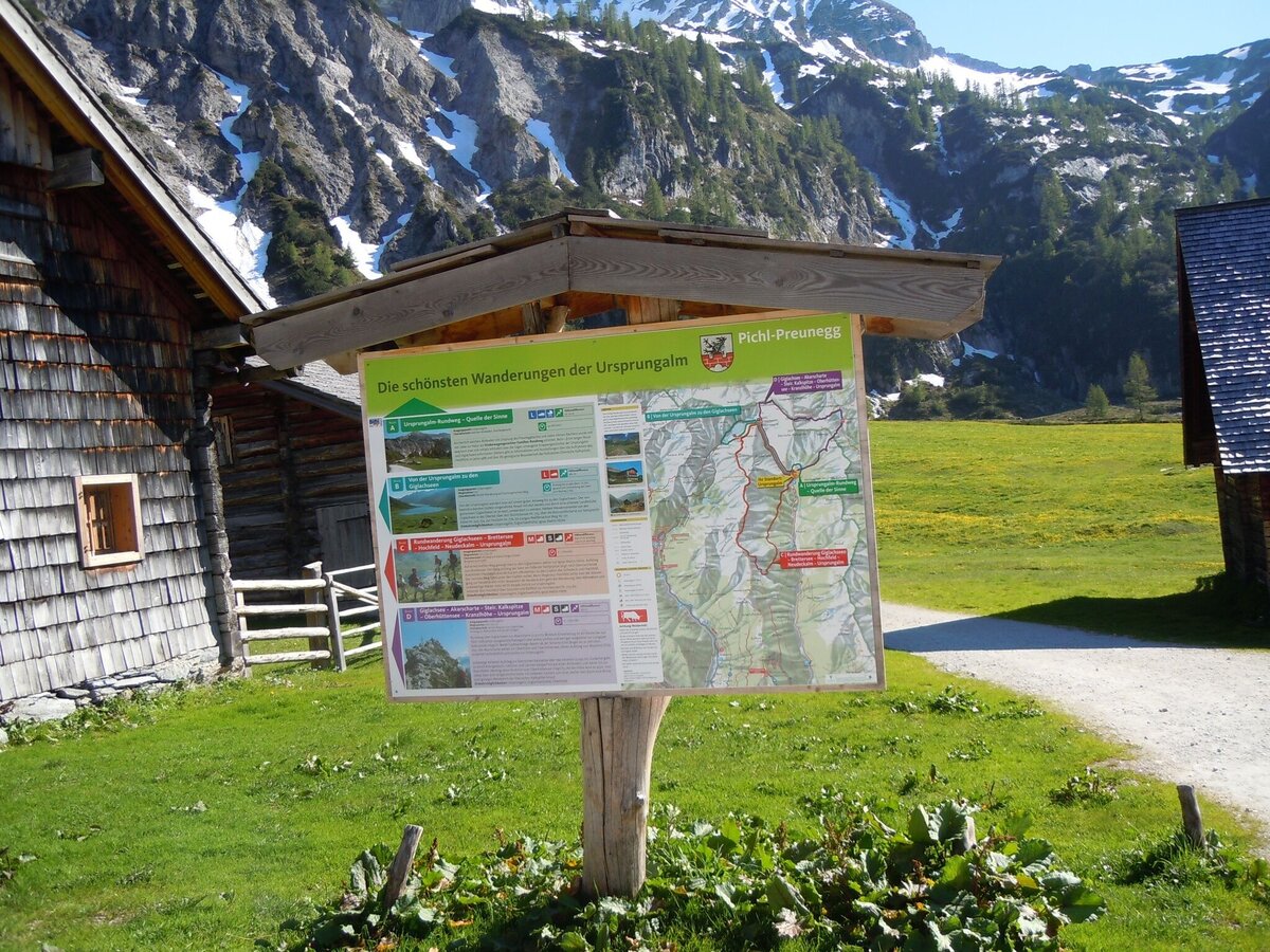
Map, elevation profile & further information
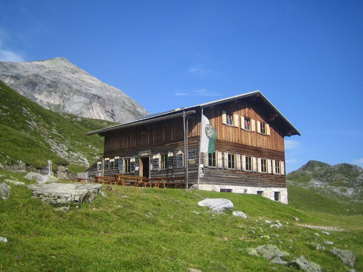
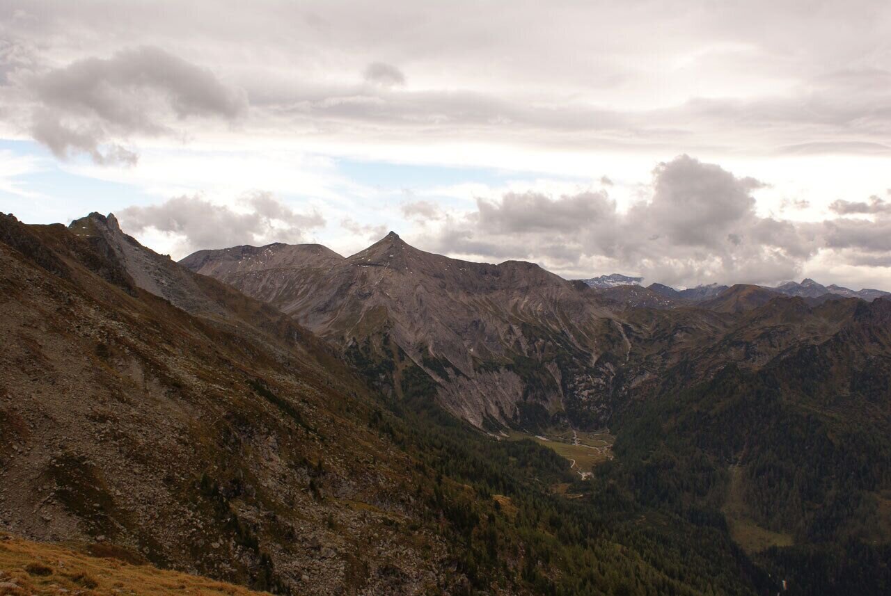
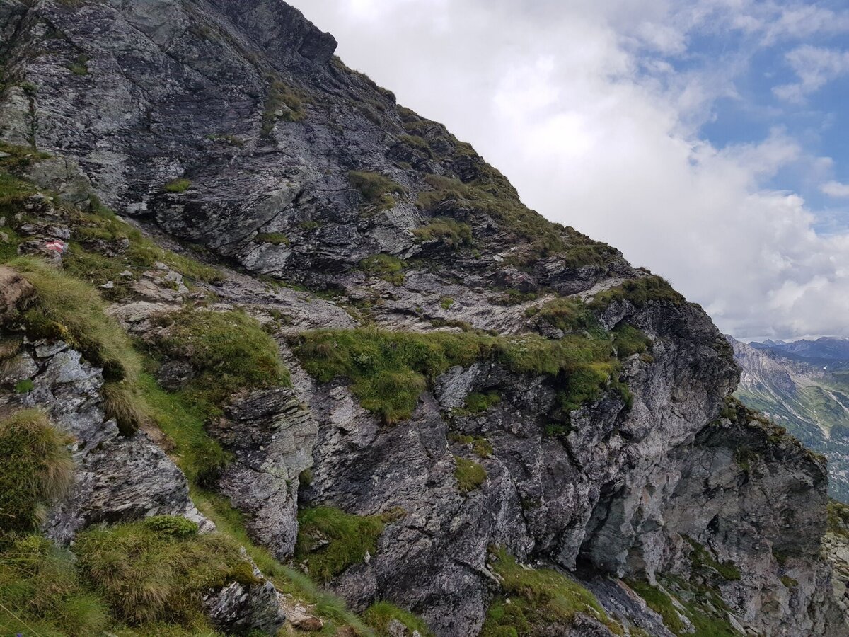
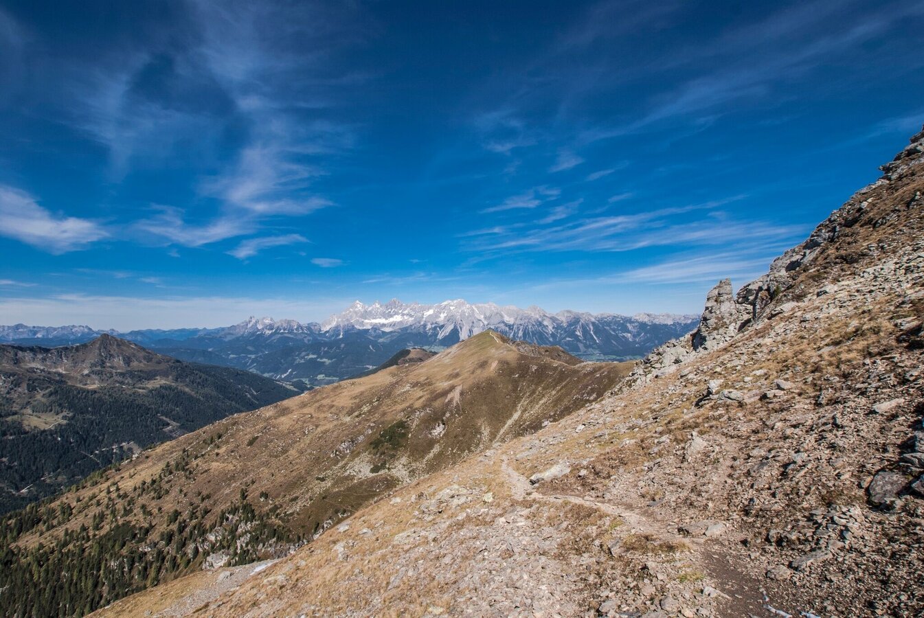
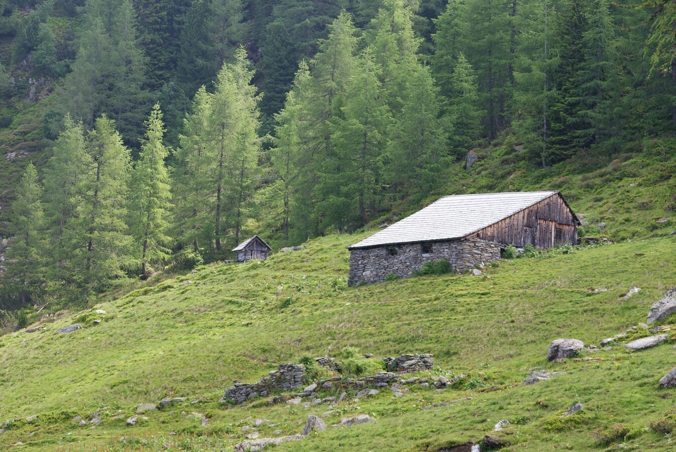
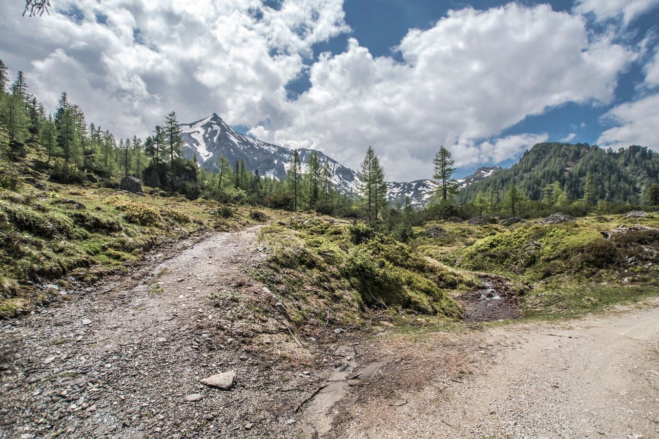
From the Ursprungalm the path ascends to Preuneggsattel, passing by Giglachseehütte chalet towards Ignaz-Matthis chalet. There you have to follow the path No. 773 upwards into the directions of the lakes Brettersee, Klammsee and - passing by below the Kampspitze - further on to Schiedeck and to Hochfeld. Before arriving at the Hochfeldmandl the trail turns off to the left and winds downwards to the upper Neudeggalm. At the upper Neudeggalm walk along the path No. 771 "Laubschachenweg" - a beautiful walk through the forest and via the upper Moarhofalm back to the starting point.
Alternatively take provincial highway L722 from Schladming into the direction of Rohrmoos, at the roundabout Rohrmoos keep going straight ahead, pass the Hochwurzen cable car and turn right after appr. 1 km onto Hohenbergstraße road into the direction of Preuneggtal valley - Ursprungalm. This road also takes you to the toll booth at Strickbrücke bridge where you follow the directions as described above.
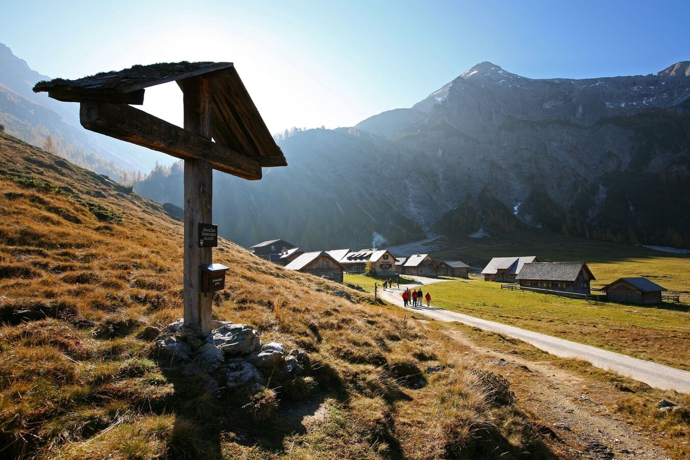
Parking is available at Ursprungalm.- Buses of Planai-Hochwurzen-Bahnen: www.planaibus.at
Changes in weather patterns, quick falls in temperature, thunderstorms, wind, fog and snow are some of the dangers that can be encountered on a hiking tour. Hosts of alpine huts and mountain refuges have a lot of experience in the mountains and can give good advice about weather and the trails. Poor equipment, overestimation of one's own capabilities, carelessness, poor personal constitution and/or wrong judgement can lead to critical situations. In case of thunderstorms: avoid summits, ridges and steel ropes.
GPS data and orienteering
Available GPS data - just like hiking maps - is only a guidance for orientation and can never depict a trail exactly with all its details. Especially at dangerous spots it is essential to judge on site how to proceed.
In an emergency please call:
- 140 - for Alpine emergencies (all over Austria)
- 112 - European GSM emergency number
Information about bus schedules: www.planaibus.at
360° drone images
Get yourself an overview with our 360° drone images:
- Hochfeld and Schiedeck: https://vonoben.schladming-dachstein.at/sommer/index.php?S=306
- View over Giglachkar cirque: https://vonoben.schladming-dachstein.at/sommer/index.php?S=307
- Giglachseen and Kalkspitzen summits: https://vonoben.schladming-dachstein.at/sommer/index.php?S=308
- Lower Giglachsee Lake and Vetternkar cirque: https://vonoben.schladming-dachstein.at/sommer/index.php?S=309
- Hiking map ‘Hiking WEST’ available at the information offices in the region.
- Schladming hiking map, 1:25,000, available at the Schladming information office.
- Hiking map Schladming-Dachstein, 1:50,000, available at the information offices in the region.
- Hiking guide Schladming-Dachstein by Herbert Raffalt, available at the information offices in the region.


