

Ramsau am Dachstein
Leiten Loop Trail
Nordic walking
Data:

copyright: Gerhard Pilz
copyright: Gerhard Pilz
copyright: Gerhard Pilz
copyright: Gerhard Pilz
copyright: Gerhard Pilz
copyright: Gerhard Pilz
copyright: Gerhard Pilz
copyright: Gerhard Pilz
copyright: Gerhard Pilz
copyright: Gerhard Pilz
copyright: Gerhard Pilz
copyright: Gerhard Pilz
copyright: Gerhard Pilz
copyright: Gerhard Pilz
copyright: Gerhard Pilz
copyright: Gerhard Pilz
copyright: Gerhard Pilz
copyright: Gerhard Pilz
copyright: Gerhard Pilz
copyright: Gerhard Pilz
copyright: Gerhard Pilz
copyright: Gerhard Pilz
Tour description
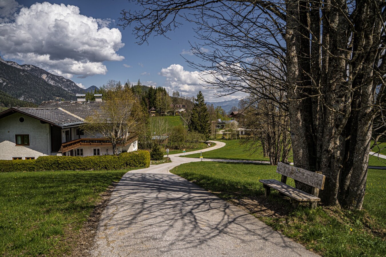
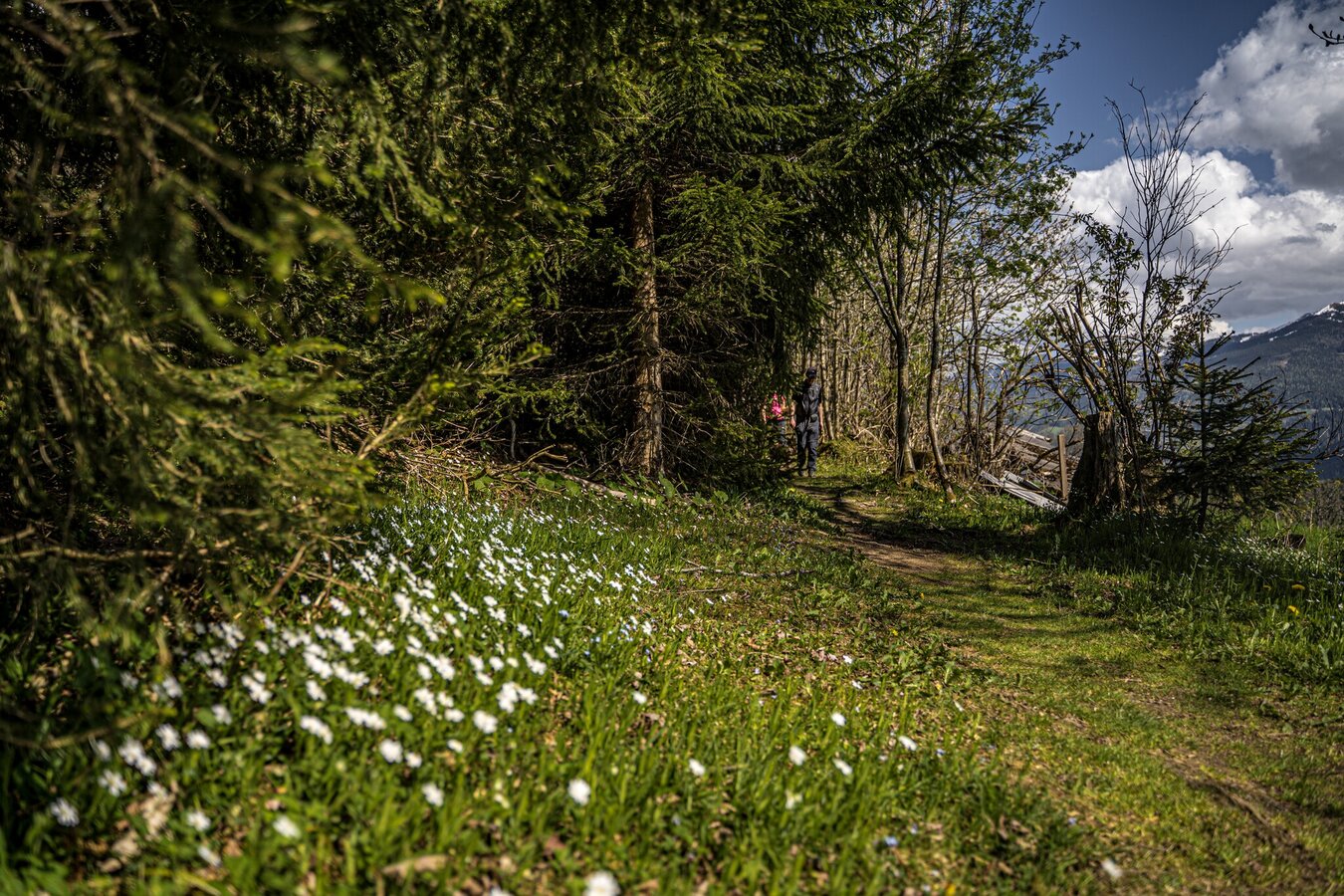
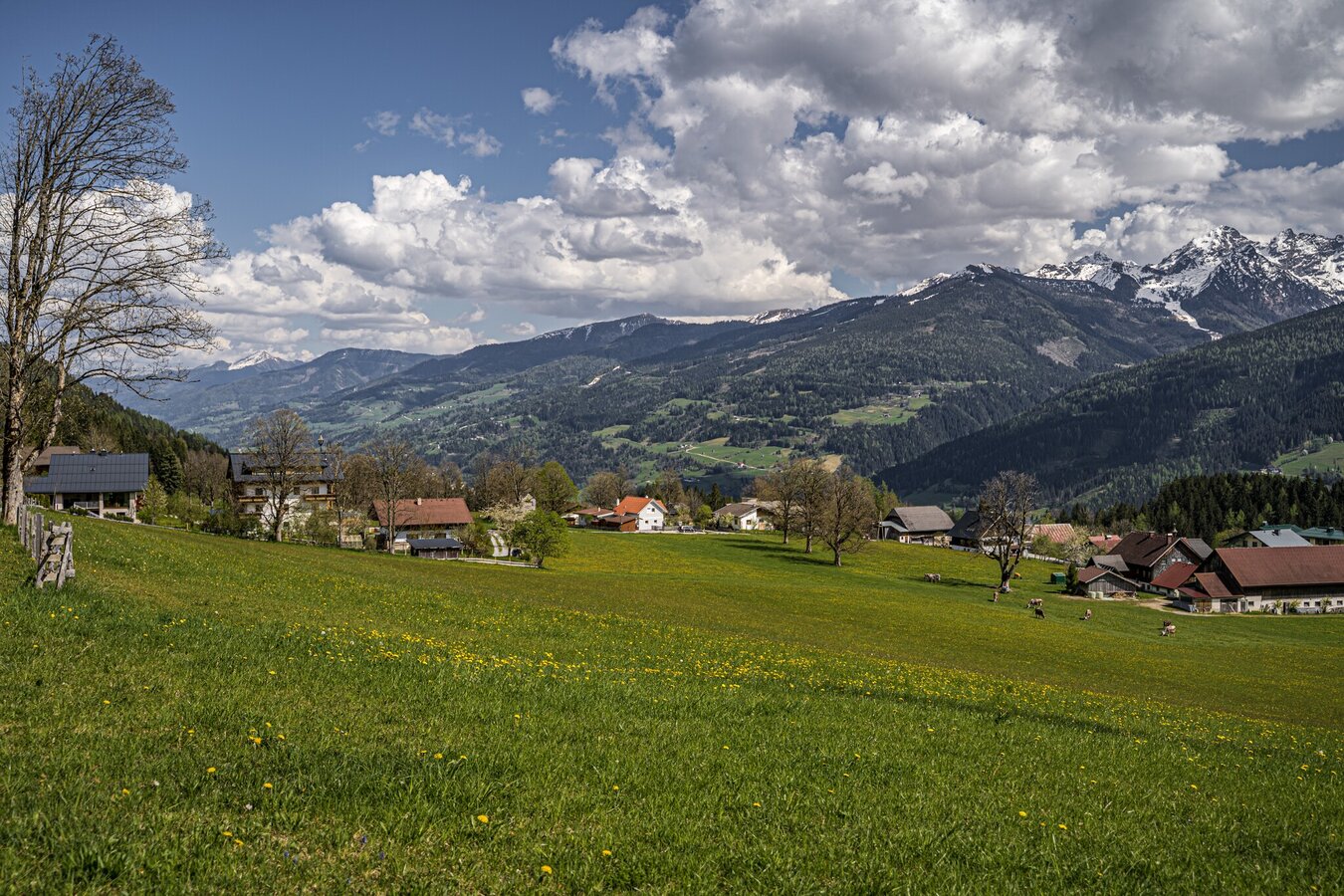
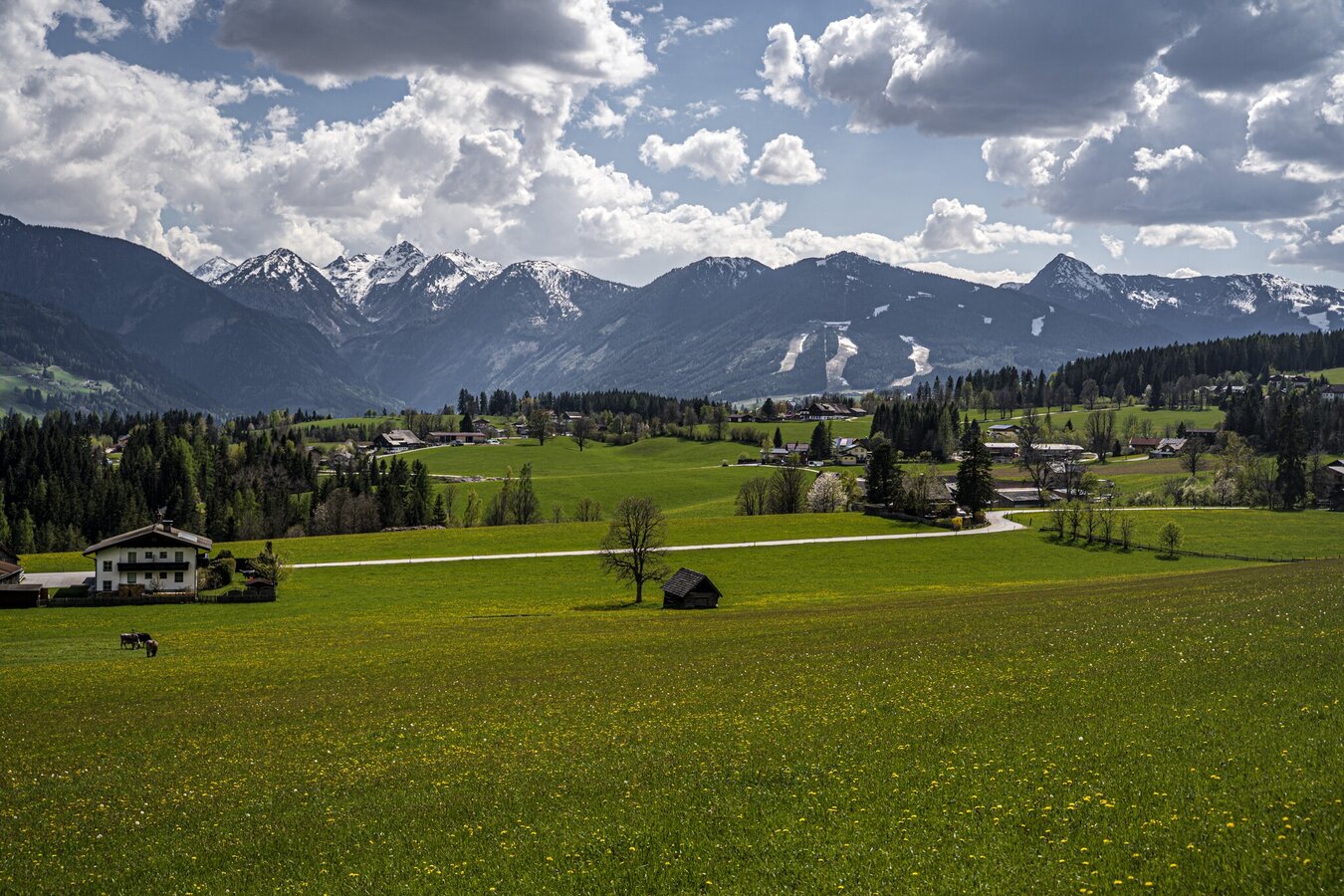
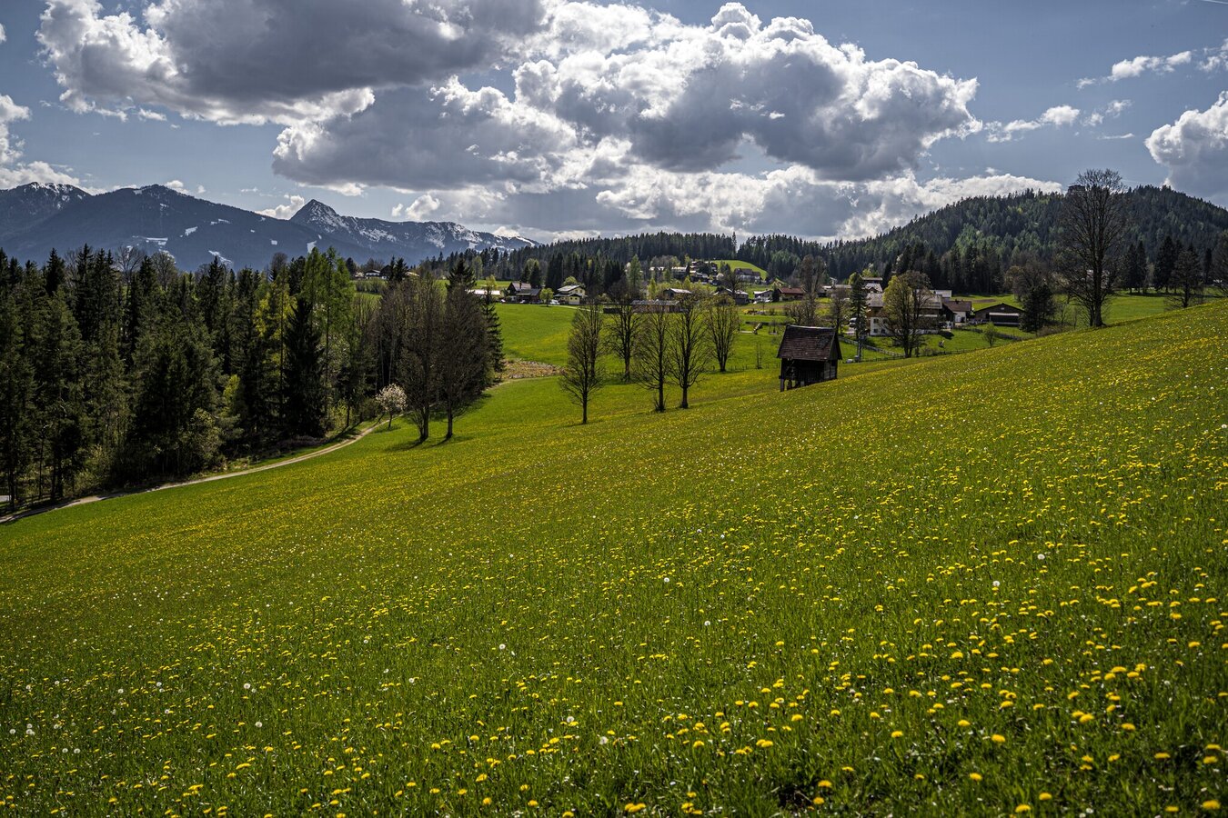
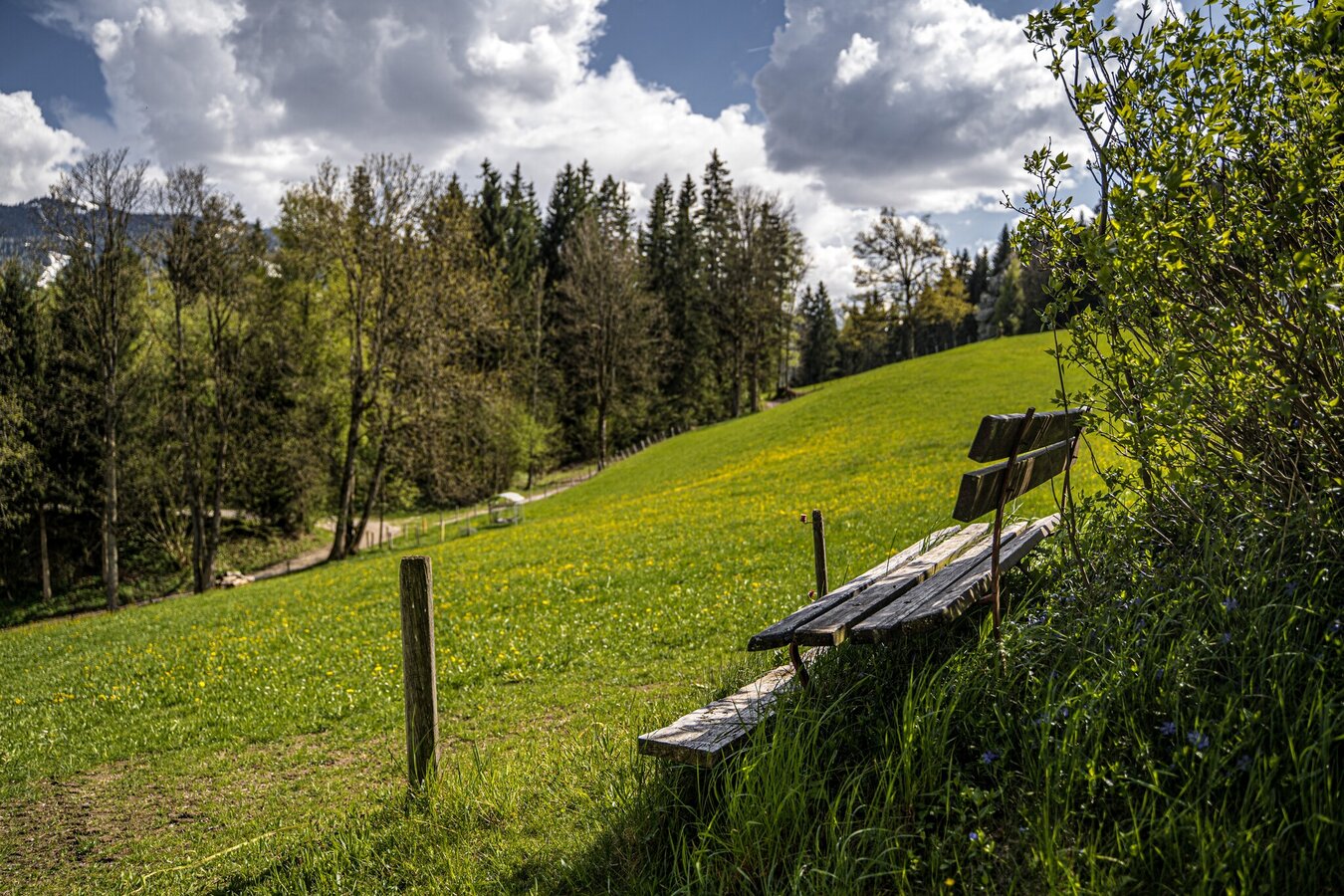
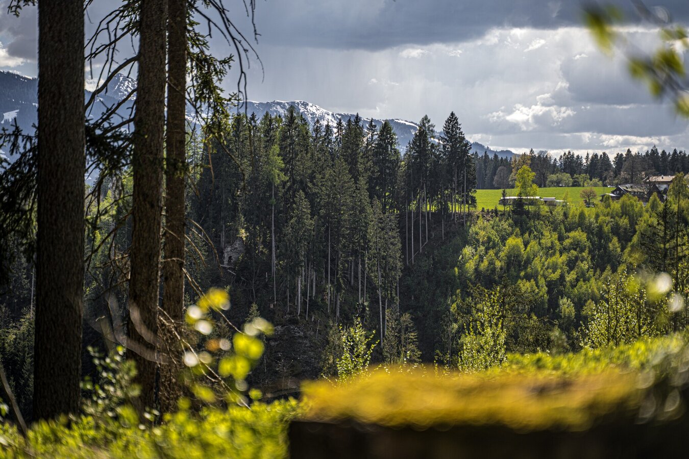
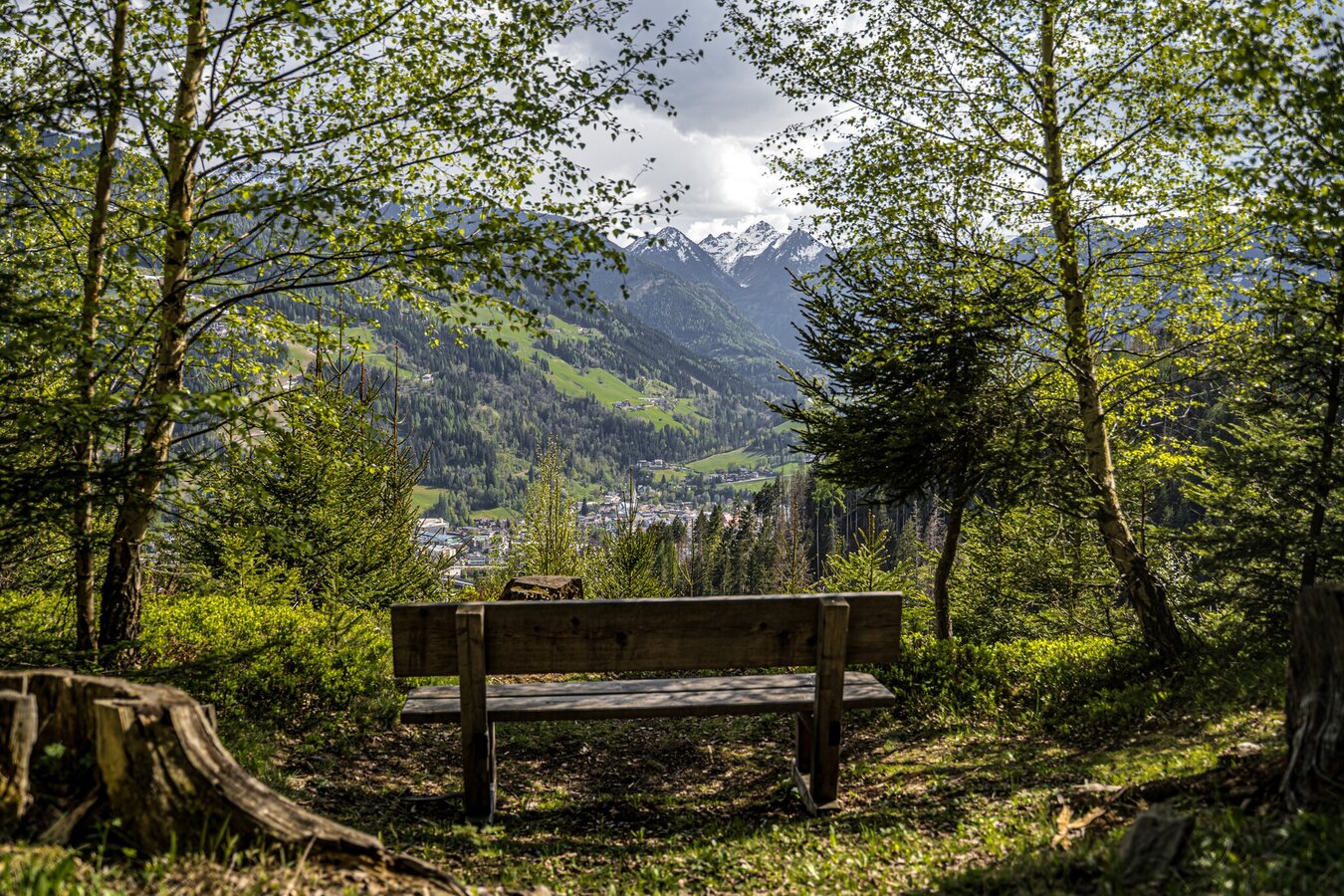
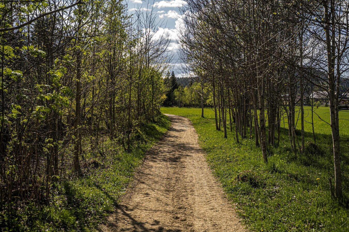
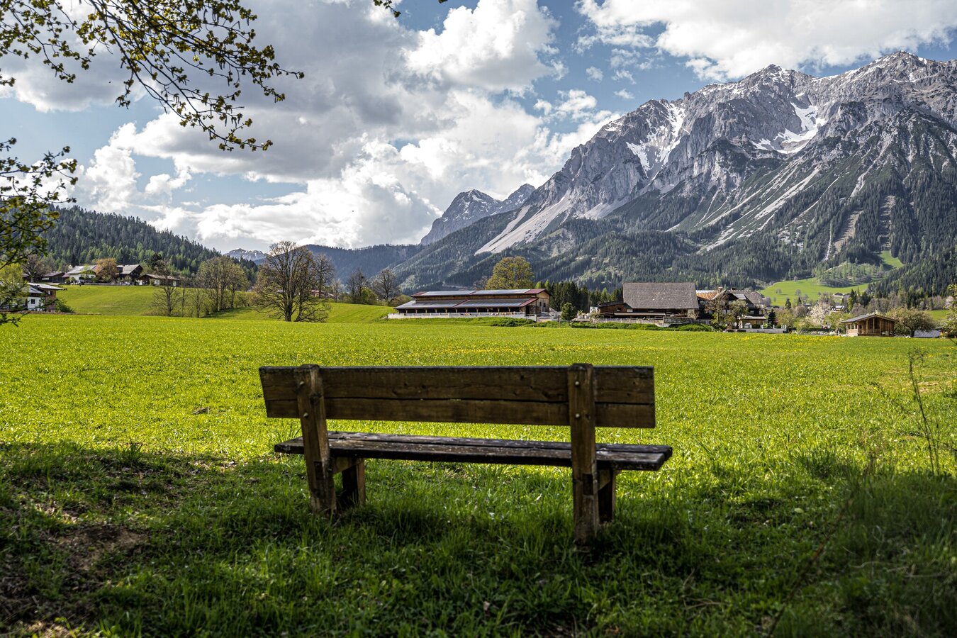
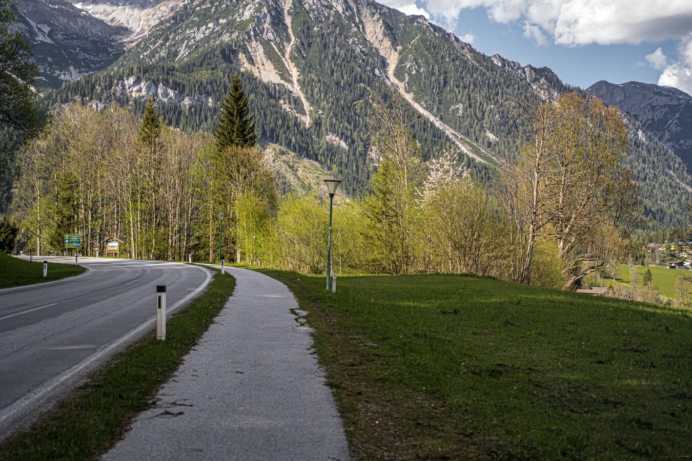
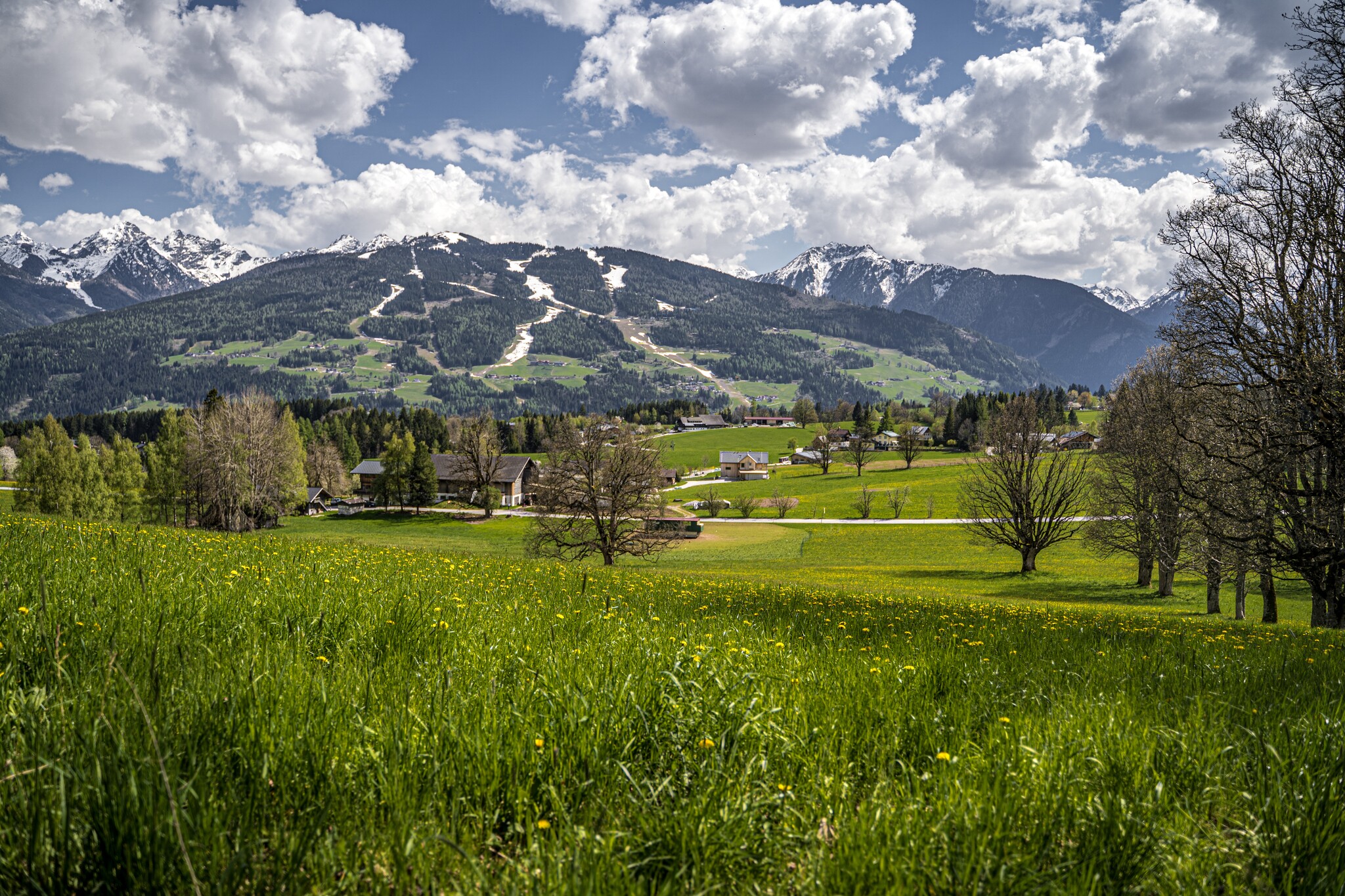
This easy-going trail in the Ramsau’s Obere (upper) and Untere (lower) Leiten quarters is suitable for families, with moderate height differences and beautiful views across the Enns valley.
The tour
easy
publicly accessible
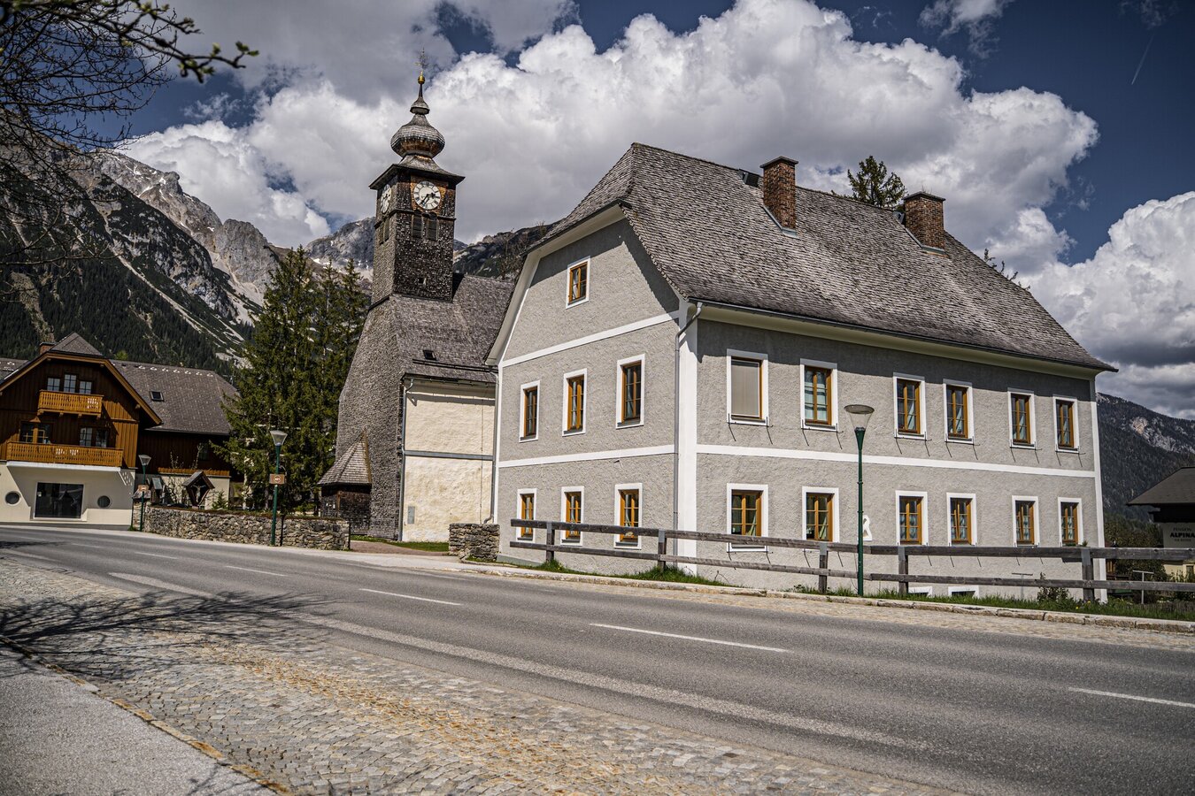
Starting and end point
Catholic Church Ramsau Kulm
Tour characteristics
Distance: 6.6 km
Fitness (2/6)
Information
Distance: 6.6 km
Duration:
1:50 h
Ascent: 145 m
Descent: 145 m
highest point: 1084 m
Best season
Jan
Feb
Mar
Apr
May
Jun
Jul
Aug
Sep
Oct
Nov
Dec
Map, elevation profile & further information
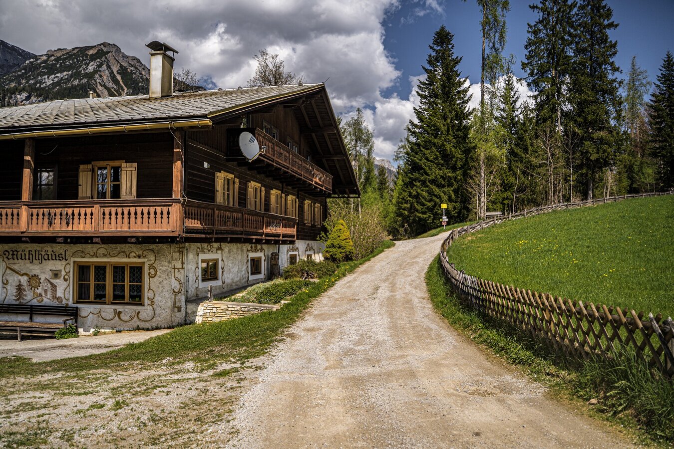
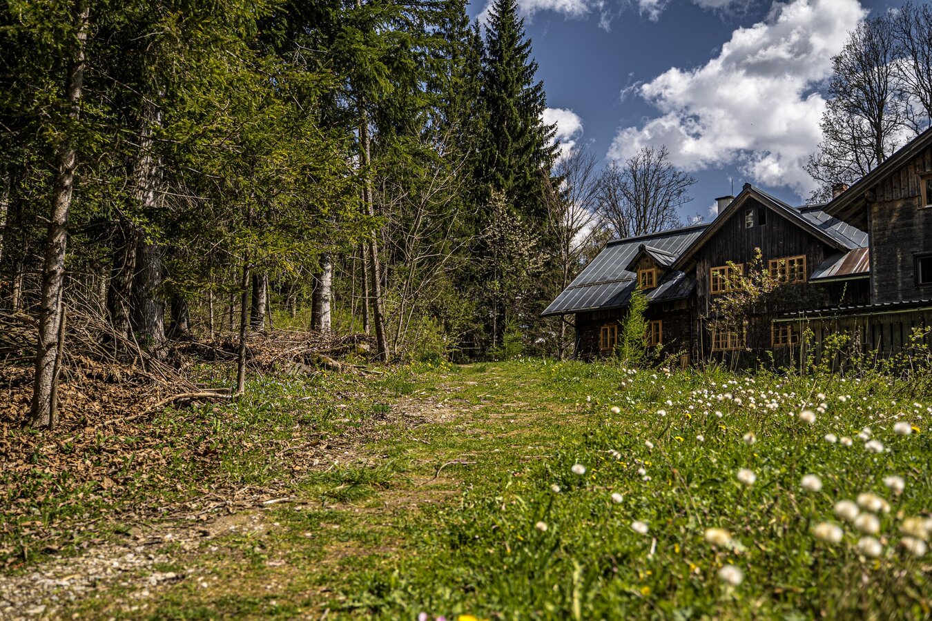
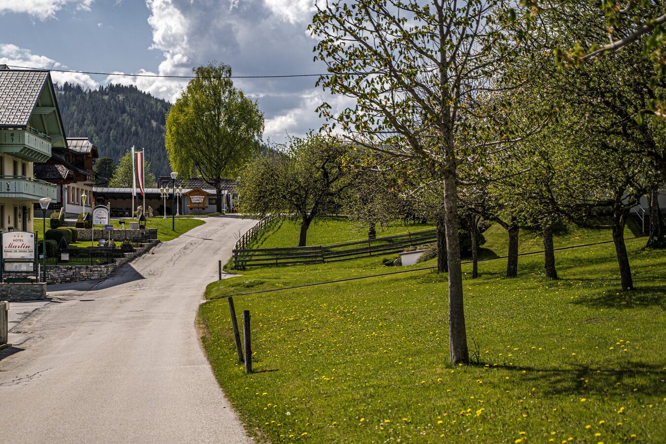
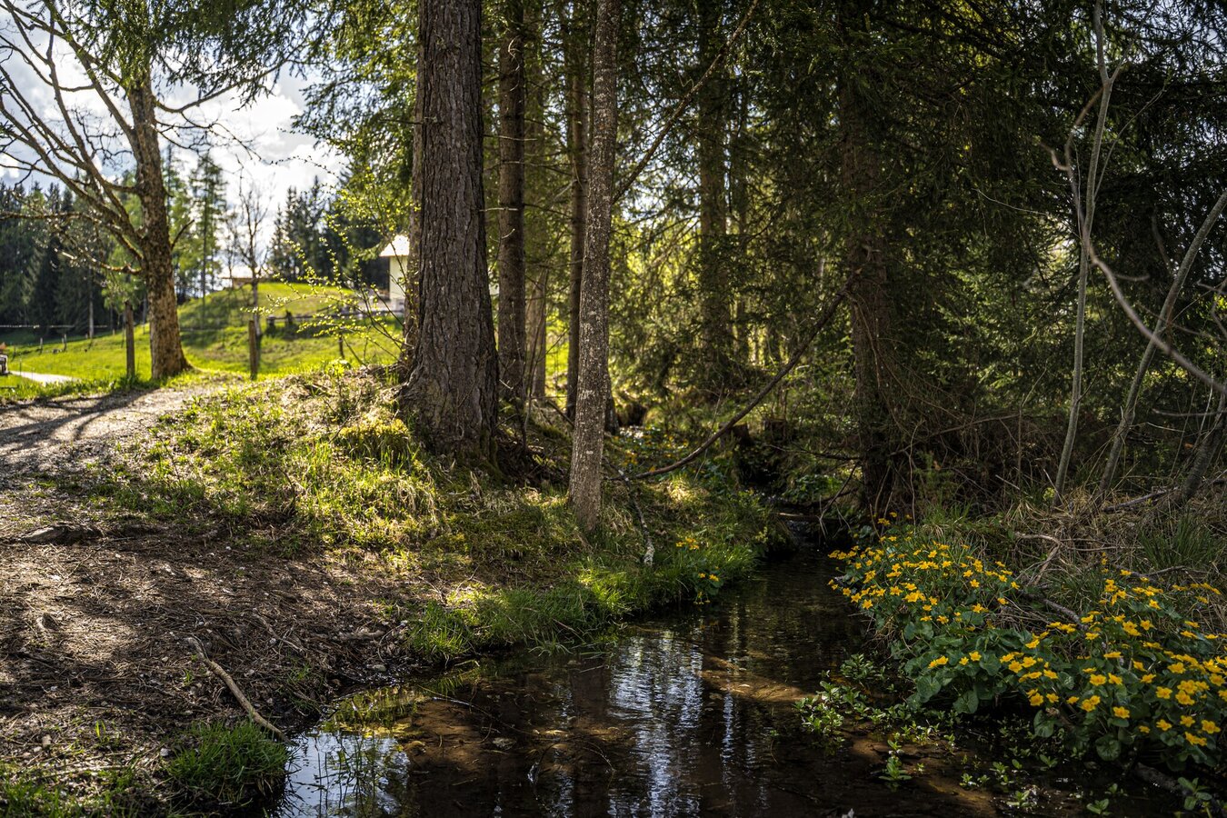
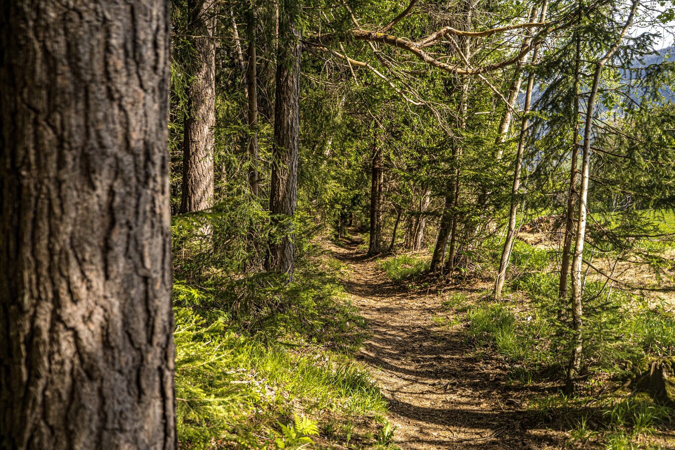
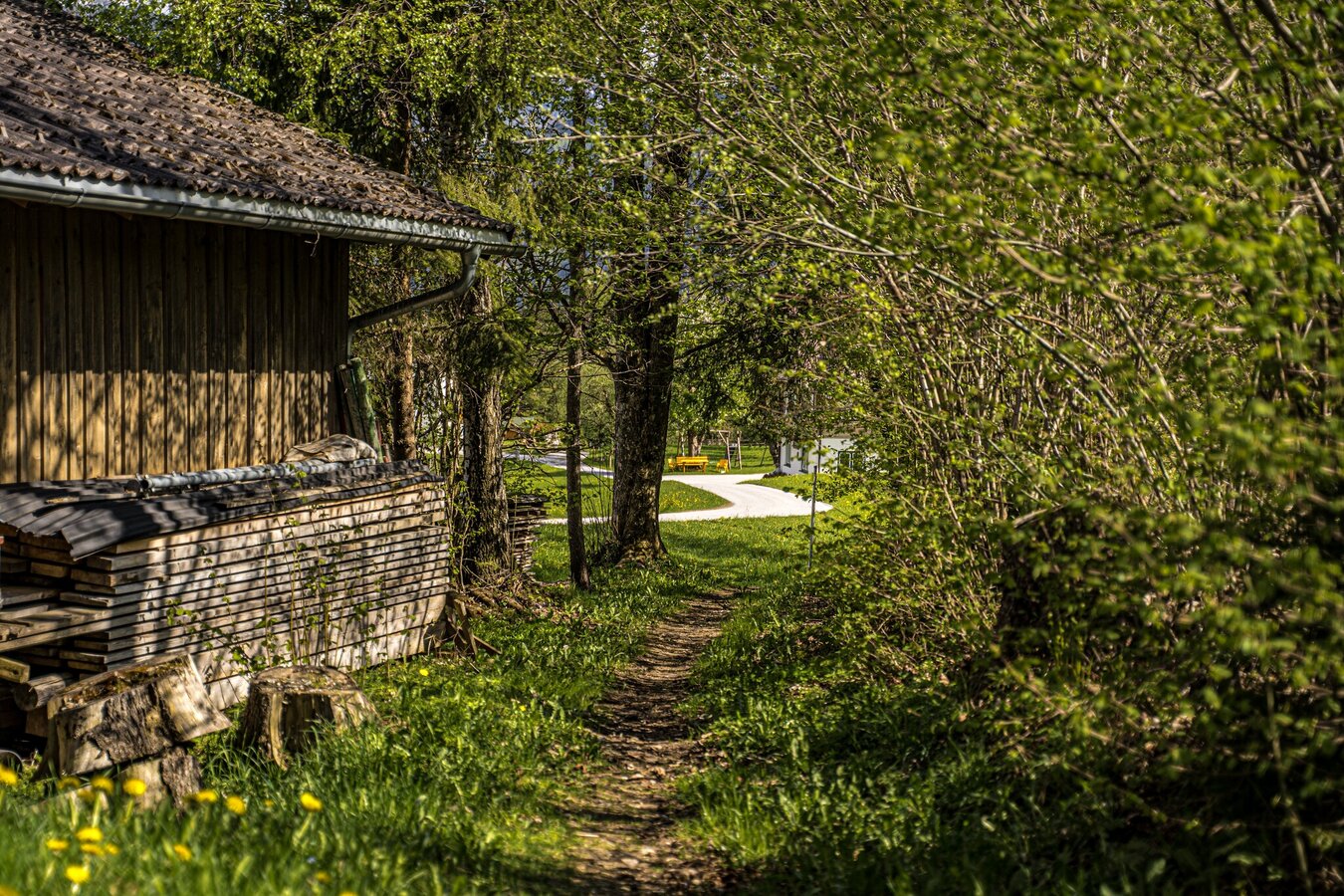
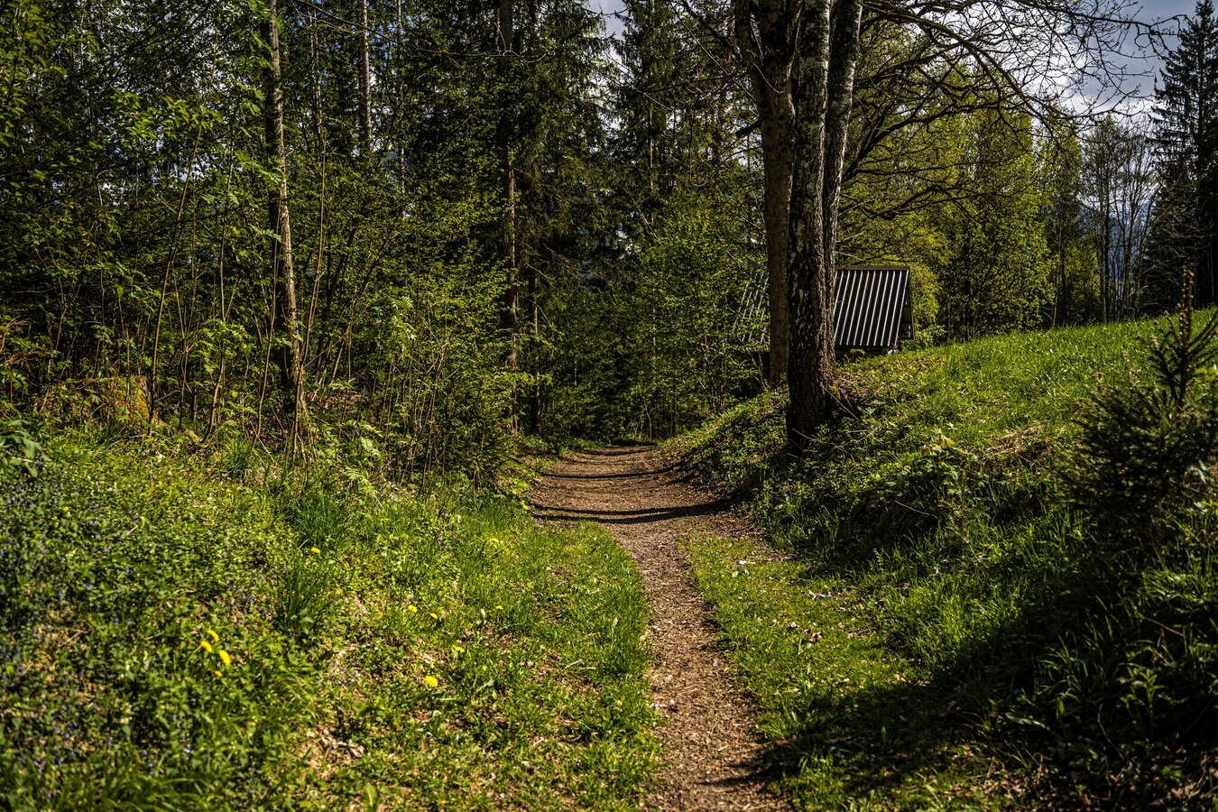
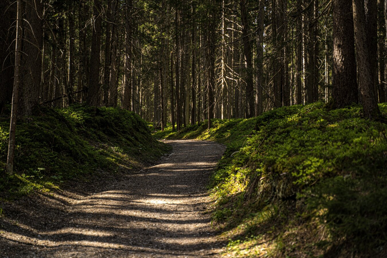
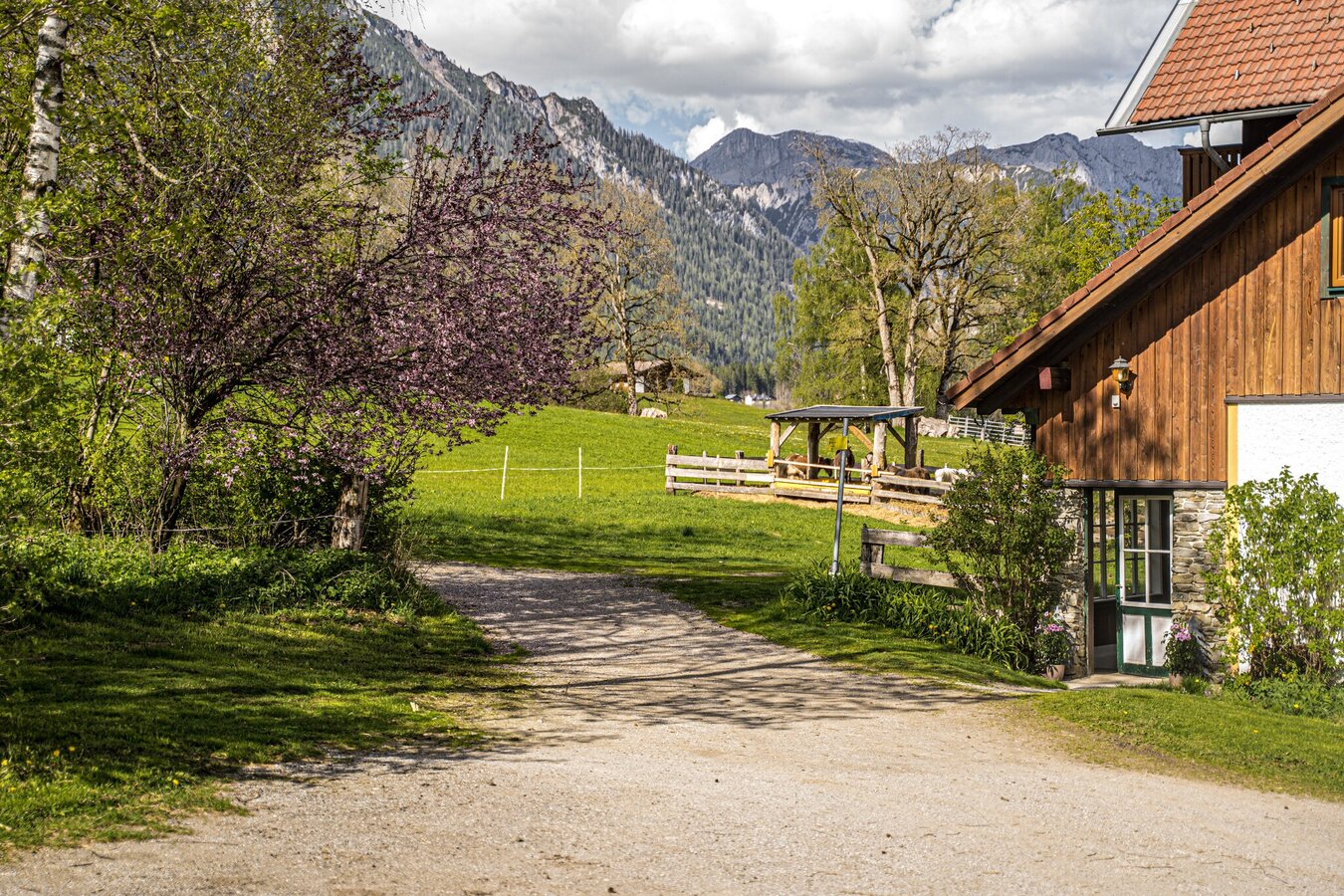
Starting point is Ramsau Kulm. Follow the path to the left next to the Catholic church in the direction of the environmental adventure trail above Hotel Almfrieden. Pass directly in front of the Waldhof, follow a path along the edge of the forest and meadows for about 300m to the fork on the right, which leads down to the organic farm Lienlhof. Cross the road, past the farm along the path to the crossroads, turn right and follow the forest path to Untere Leitenstraße. Turn left on the road, briefly along the road to the junction Haslehnerhof (turn right), past the farm continue downhill to the junction - keep right to the junction Buchenweg. Through the forest to the Brandstätter equestrian farm, directly at the farm turn left to the Eggerhof. Continue along the Ramsau road to Kulm.
From the west:
Tauern Autobahn (A 10) to Knoten Ennstal - turnoff direction Graz/Schladming - stay on the Ennstal-Bundesstraße (B320) for approx. 20 km until Schladming - take the turnoff for Ramsau.
From the north:
Pyhrn Autobahn (A 9) direction Liezen - take the Ennstal-Bundesstraße (B320) to Schladming - turnoff Ramsau.
Parking lot Info office Ramsau am DachsteinBus stop Kulm Kirche
See the timetables HERE
hiking equipment
The first mention of the name Ramsau was around 1120. The Sattel-, Kulm- and Rittisberg are moraine remains of the great Ennstal glacier, corresponding to the geological structure: conglomerate rock and glacial gravel are predominant.


