

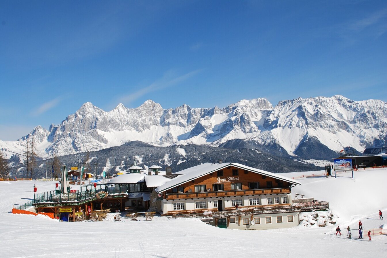
Schladming
Reiteralm: winter walk to Preuneggtal valley
Winter walking
Data:

Tour description
Starting point is the mountain terminal of the cable-car "Silver Jet" on Reiteralm. At the exit of the terminal you make a left and walk down the ski piste for a bit. After about 500 m you reach the winter walking trail on Reiteralm wich takes you through the forest to Almdorf Reiteralm. From there you descend via Preuneggstraße to the valley. From Pichl you walk back to Gleiming along the tracks of the railroad.
The tour
moderate
publicly accessible
Starting point
Mountain terminal Silver-Jet, Reiteralm
Destination
Valley terminal Reiteralm-Hochwurzen
Tour characteristics
Fitness (3/6)
Skills (2/6)
Information
Distance: 9.34 km
Duration:
2 h 41 min
Ascent: 12 m
Descent: 613 m
highest point: 1381 m
Best season
Jan
Feb
Mar
Apr
May
Jun
Jul
Aug
Sep
Oct
Nov
Dec
Map, elevation profile & further information
From the mountain terminal of Silver Jet you walk left and pass by the small pond. The trail takes you towards the chalet villages Reiteralm. Past Almrestaurant Edelweiss you walk down along the road until you reach Bankwirt inn near the valley terminal of Preunegg Jet cable-car. You continue downhill along Preuneggstraße road until you reach Pichl from where you walk back to Silver Jet in Gleiming along the footway next to the railroad.
Take exit "Gleiming" from federal highway B320 (approximately 7 km west of Schladming). After crossing the bridge over the Enns river make a left and continue to the parking lot at the valley terminal of the cable-car "Silver-Jet".Parking is available directly at the cable-car Silver-Jet in Gleiming.
Take the ski bus to the valley terminal of "Silver-Jet" cable-car in Gleiming.
Bus time tables available at www.planaibus.at
Sturdy and warm footwear is a must for a winter walk. Warm shoes, clothes and gloves.
If you arrive by car it is best to park your car at the valley terminals of Reiteralm and Hochwurzen in Pichl and take the ski bus to Gleiming where you ascend with the "Silver-Jet" cable-car.
Information about cable-car operating times at www.skireiteralm.at.
- Hiking map ‘Hiking WEST’ available at the information offices in the region.
- Schladming hiking map, 1:25,000, available at the Schladming information office.
- Hiking map Schladming-Dachstein, 1:50,000, available at the information offices in the region.
- Hiking guide Schladming-Dachstein by Herbert Raffalt, available at the information offices in the region.


