

Giglachseen - Rotmandl - Keinprechthütte: Schladminger Tauern Trail: Stage 02

Tour description
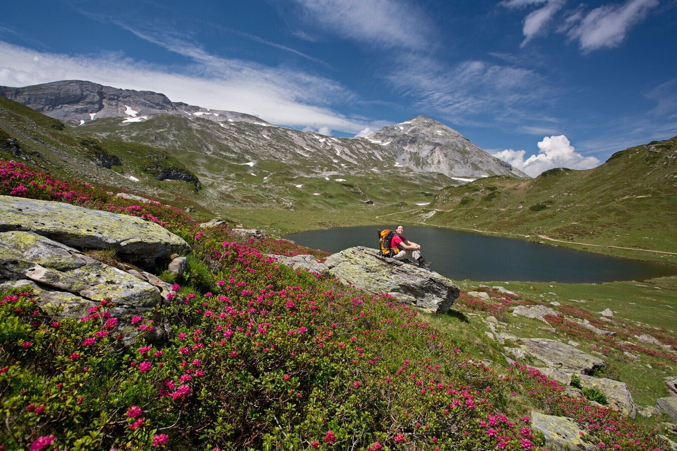
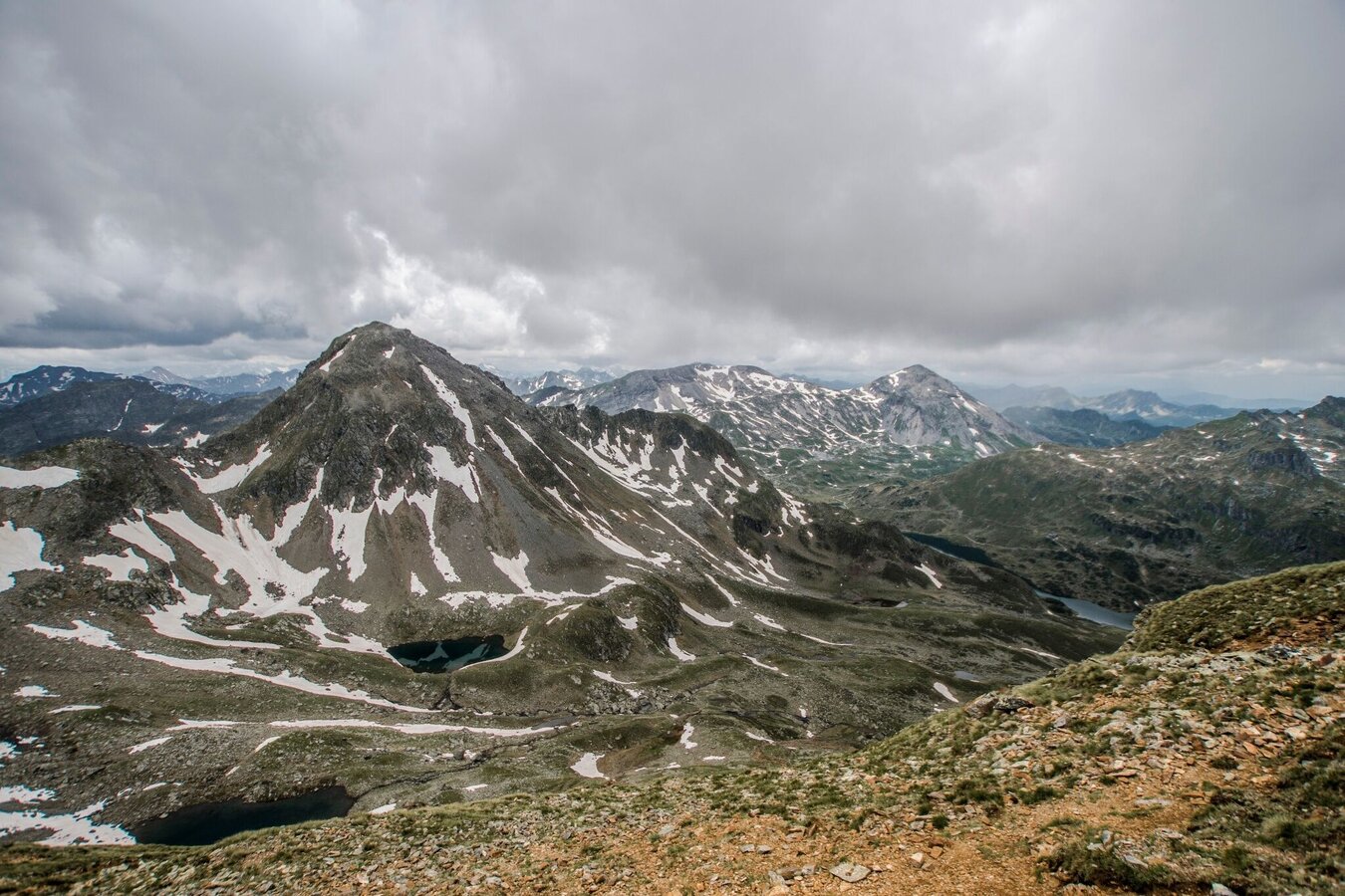
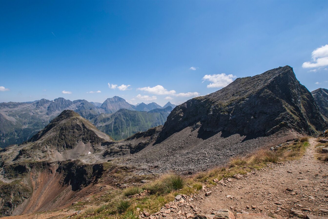
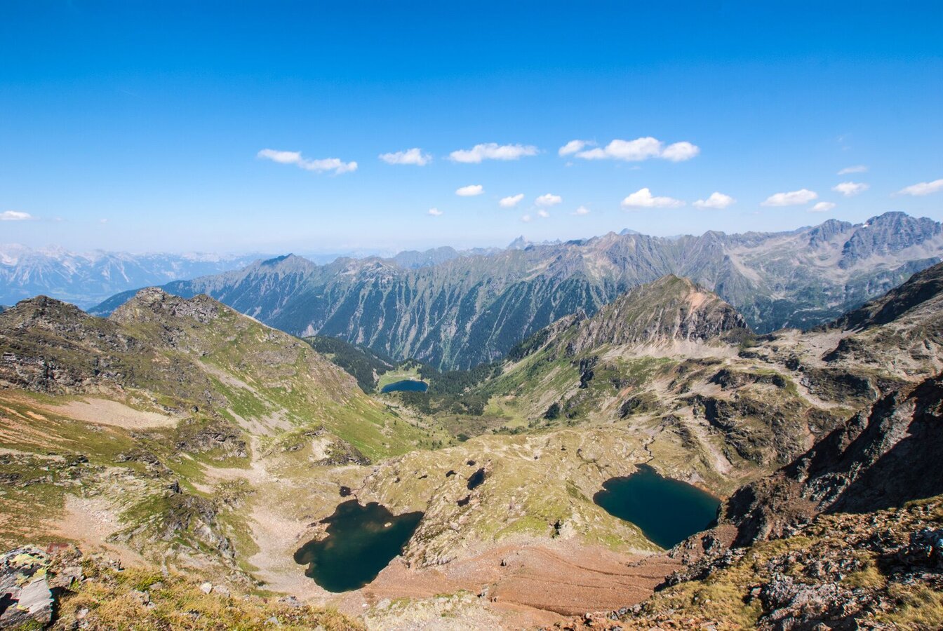
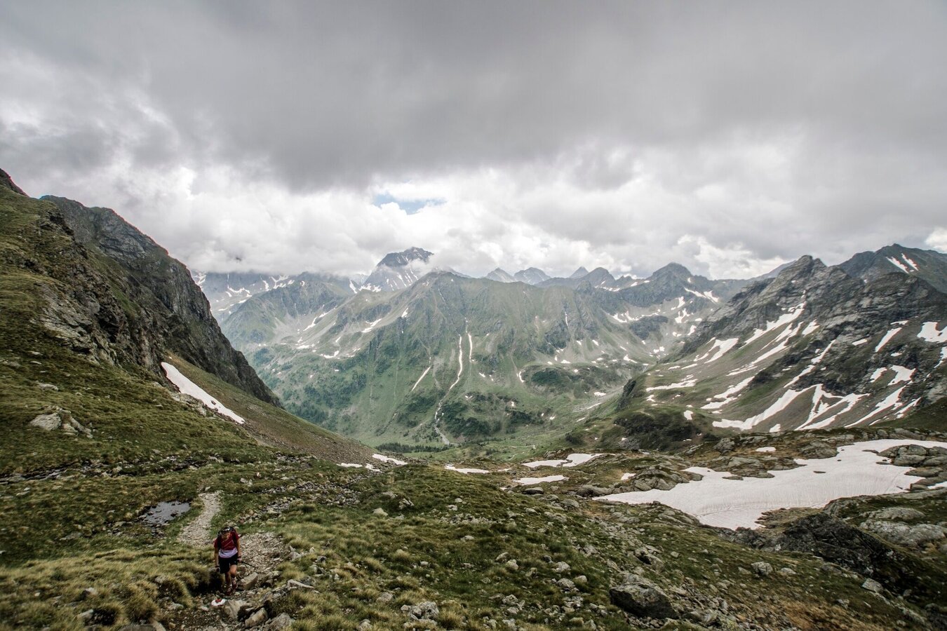
This alpine hike is a stage of the Schladminger Tauern High Trail. At first, the route runs quite easily around Giglachseen Lakes and slightly uphill into Vetternkar cirque. Then, it ascends quite steeply to Rotmandlspitze summit on rubble and potentially snowfields (possible until mid of July). Through high alpine scenery you then hike on towars Krukeckscharte, while getting great views of the Schladminger Tauern range. Finally, a quite steep descent to Keinprechthütte chalet ends this days' tour.
The tour
Map, elevation profile & further information
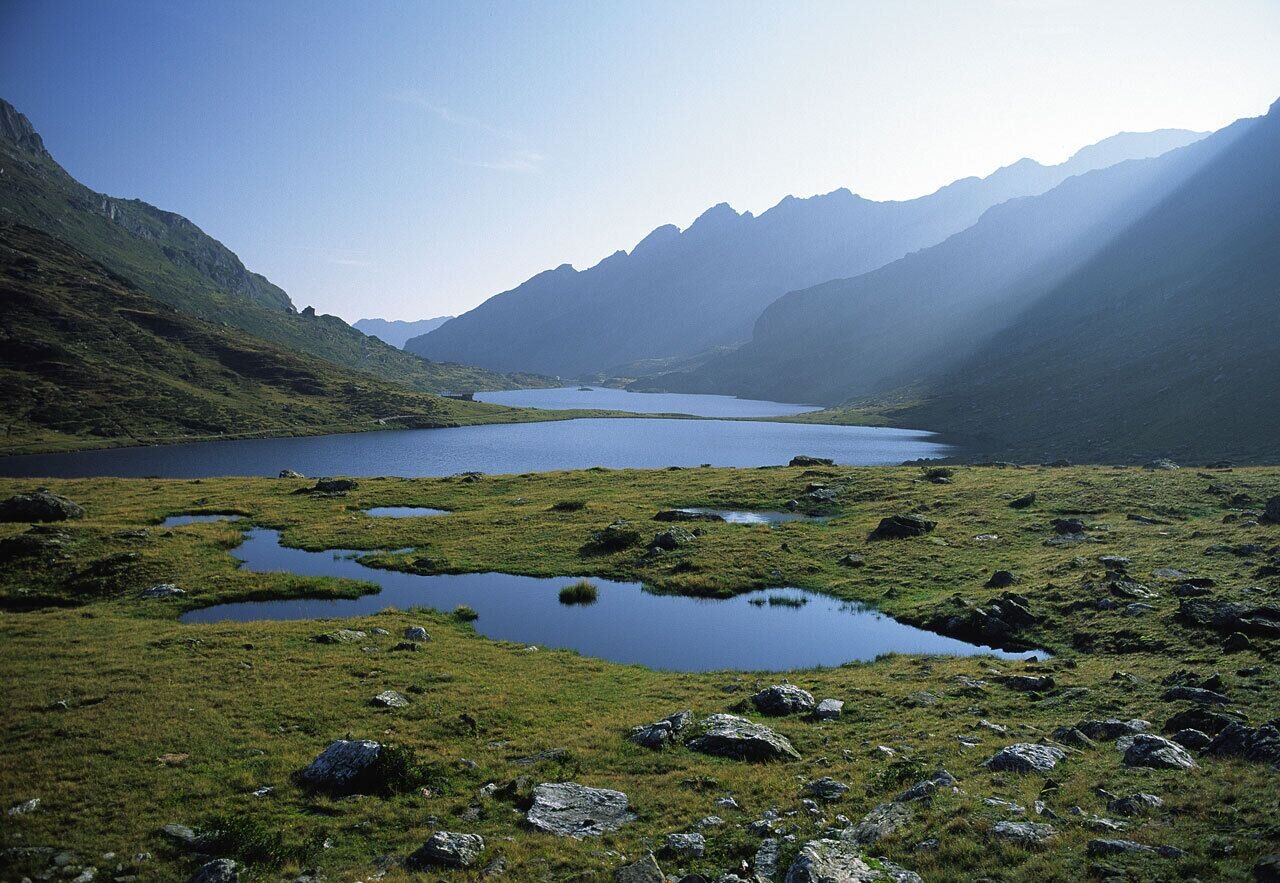
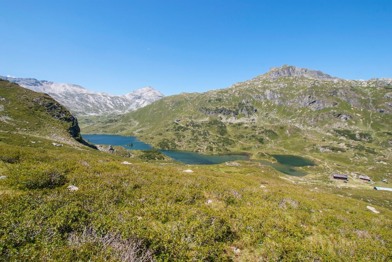
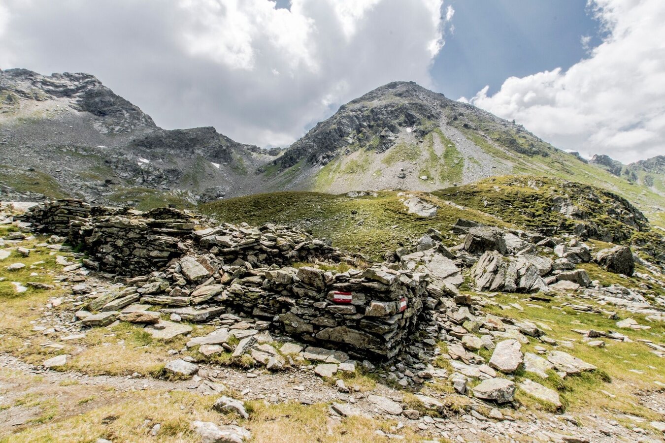
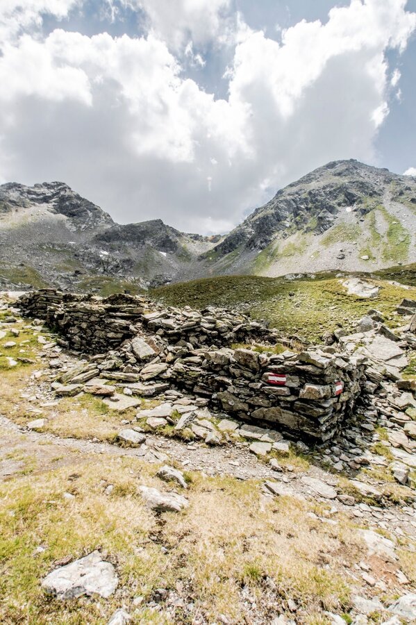
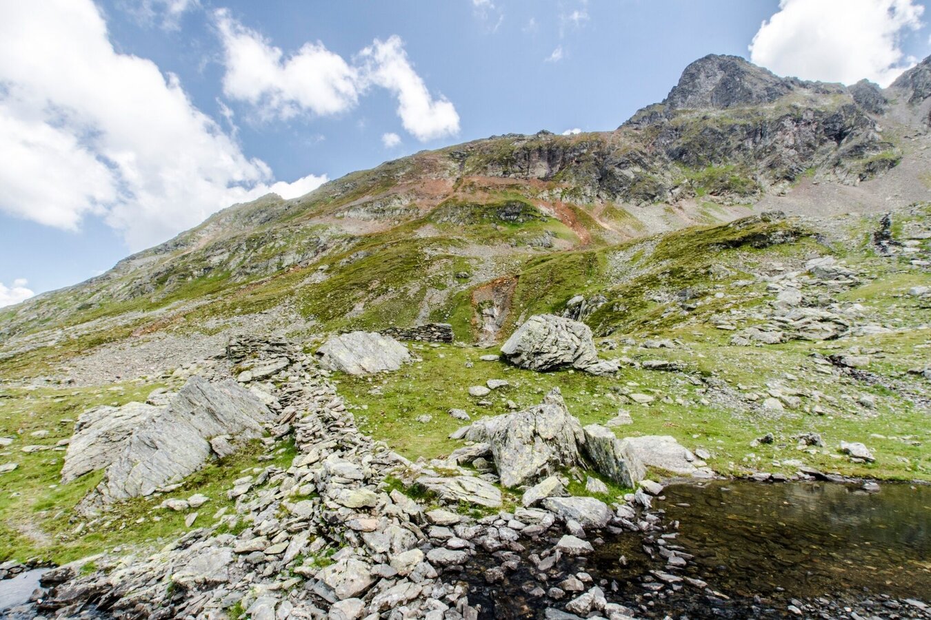
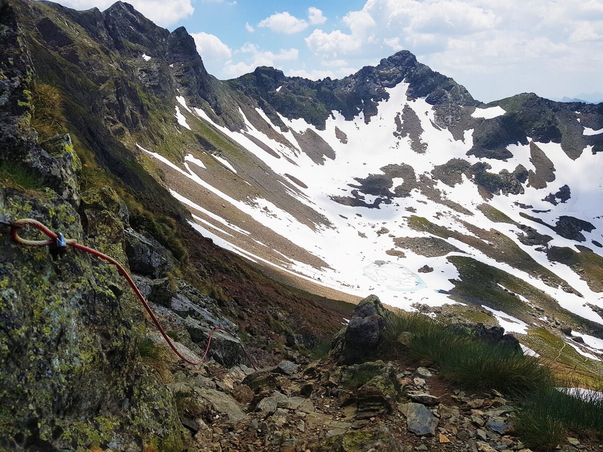
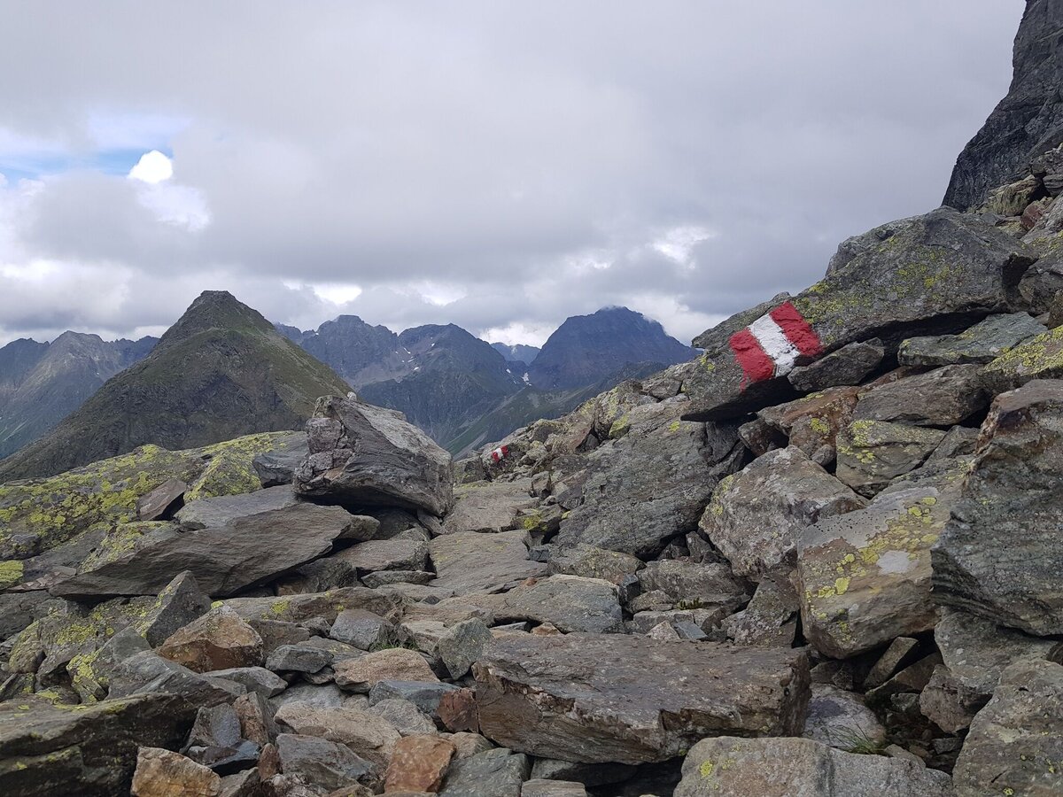
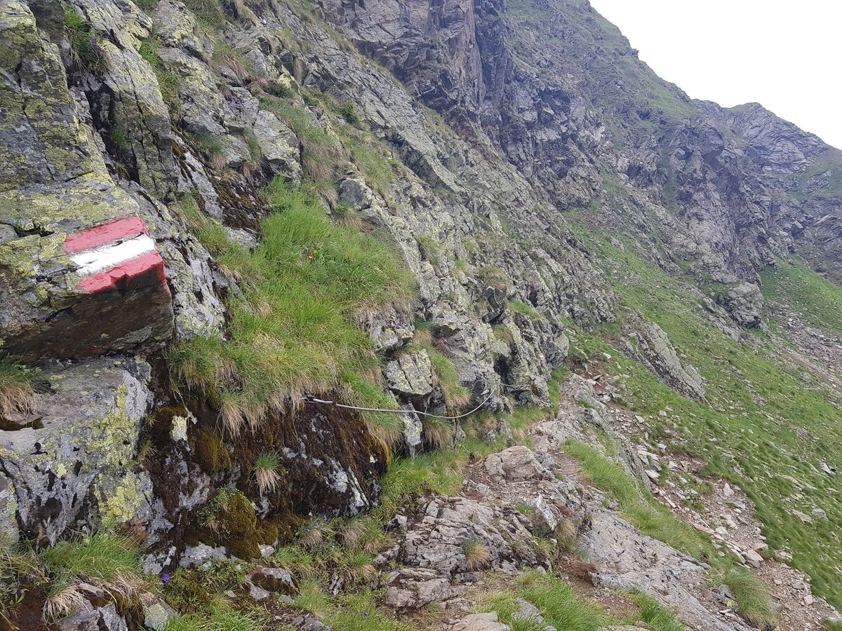
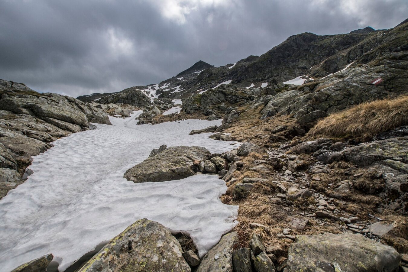
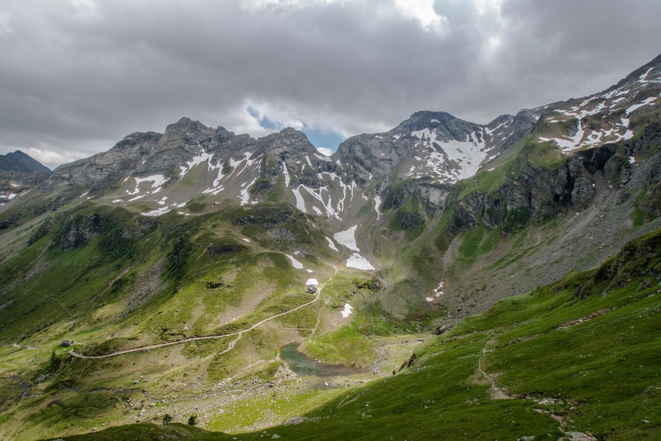
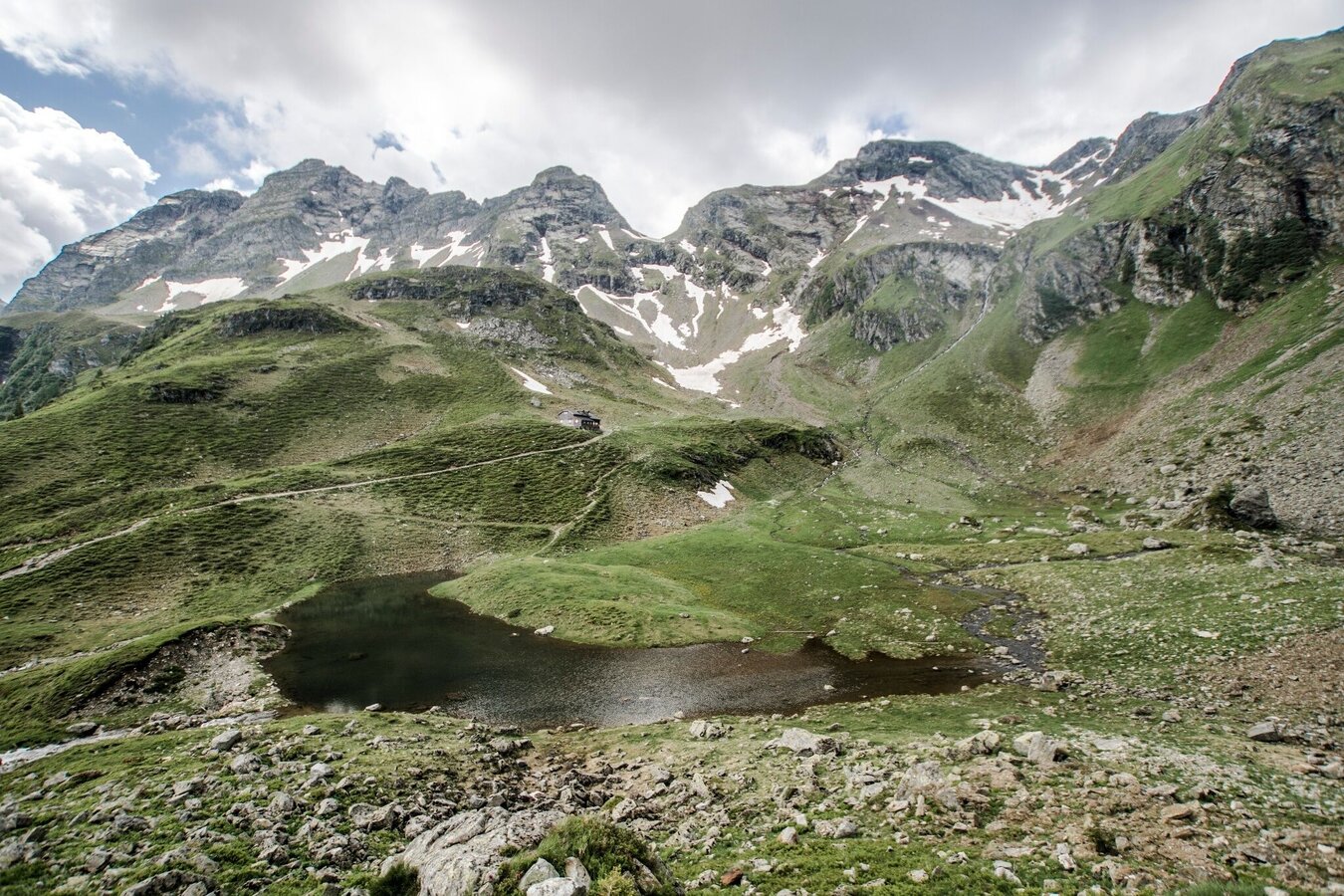
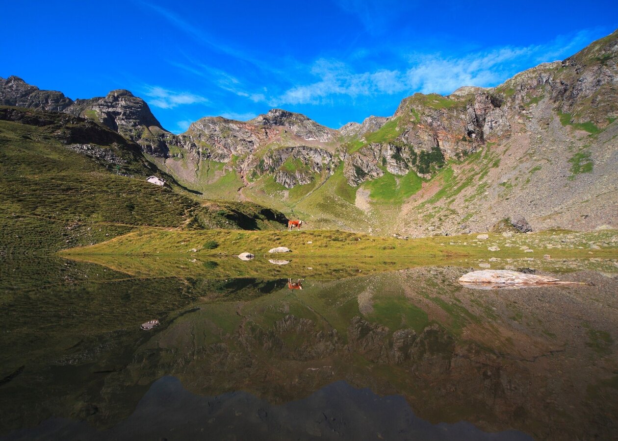
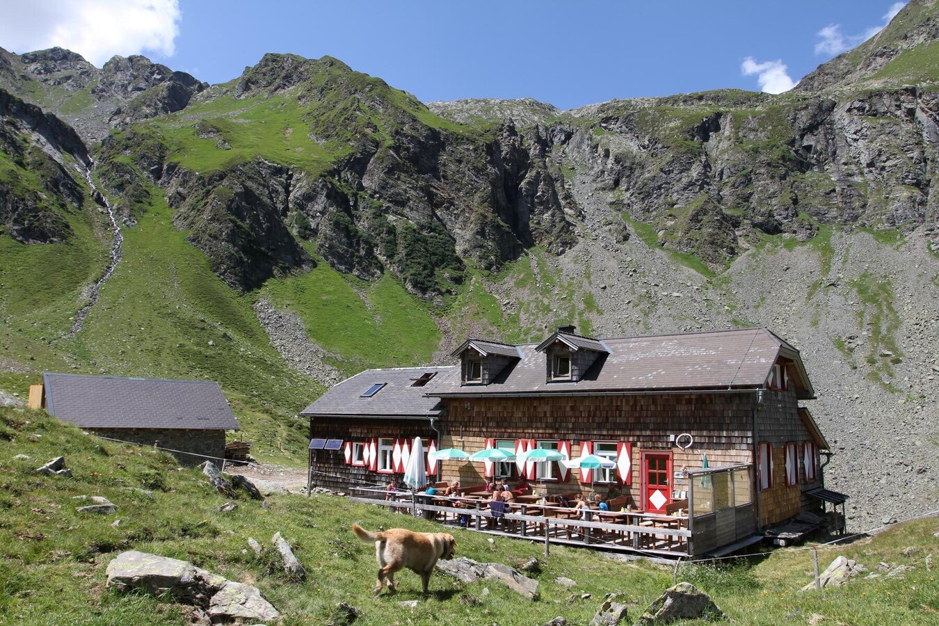
The 2nd stage of Schladminger Tauern High Trail starts at Giglachseen Lakes. From there you follow trail n° 702 into Vetternkar cirque where you can see the remains of ancient miners housing. The miners mined the mountains around Vetternkar cirque for silver and nickel for centuries. From the cirque you ascend via several switchbacks to the summit of Rotmandlspitze (2,453 m). On the way to the ridge of Kruckeckscharte you might encounter snowfields, depending on time of the year. From the ridge you descend to Keinprechthütte on a quite steep trail.
Descent to the valley:
Via Neualm you can descend to Eschachalm in about 2 hours. From there the Planai-Hochwurzen bus takes you back to Rohrmoos and Schladming.
Surefootedness and experience in alpine terrain are required.
Changes in weather patterns, quick falls in temperature, thunderstorms, wind, fog and snow are some of the dangers that can be encountered on a hiking tour. Hosts of alpine huts and mountain refuges have a lot of experience in the mountains and can give good advice about weather and the trails. Poor equipment, overestimation of one's own capabilities, carelessness, poor personal constitution and/or wrong judgement can lead to critical situations. In case of thunderstorms: avoid summits, ridges and steel ropes.
GPS data and orienteering
Available GPS data - just like hiking maps - is only a guidance for orientation and can never depict a trail exactly with all its details. Especially at dangerous spots it is essential to judge on site how to proceed.
In an emergency please call:
- 140 - for Alpine emergencies (all over Austria)
- 112 - European GSM emergency number
A well-packed backpack is helpful and especially when touring Alpine terrain a tuque, gloves, a windproof jacket and pants are standard equipment. Good, waterproof shoes, sun glasses, sun cream and sufficient beverages are essential too. Torch light, a map of the area, knie and a small first-aid kit should also be in the backpack.
A hike in the footsteps of ancient miners.
Info about buses: www.planai.at
360° drone images
Get yourself an overview with our 360° drone images:
- View over Giglachkar cirque: https://vonoben.schladming-dachstein.at/sommer/index.php?S=307
- Giglachseen and Kalkspitzen summits: https://vonoben.schladming-dachstein.at/sommer/index.php?S=308
- Lower Giglachsee Lake and Vetternkar cirque: https://vonoben.schladming-dachstein.at/sommer/index.php?S=309
- Via Rotmandlspitze: https://vonoben.schladming-dachstein.at/sommer/index.php?S=310
- View into Neualmkar cirque: https://vonoben.schladming-dachstein.at/sommer/index.php?S=312
- Hiking map ‘Hiking WEST’ available at the information offices in the region.
- Schladming hiking map, 1:25,000, available at the Schladming information office.
- Hiking map Schladming-Dachstein, 1:50,000, available at the information offices in the region.
- Hiking guide Schladming-Dachstein by Herbert Raffalt, available at the information offices in the region.


